The best mountain hikes around Rammersmatt
3.5
(4)
13
hikers
4
hikes
Mountaineering routes around Rammersmatt traverse the diverse terrain of the Vosges mountains, characterized by forested slopes, elevated viewpoints, and significant elevation changes. The region offers a mix of challenging ascents and scenic loops through natural landscapes. These routes often lead to panoramic vistas and explore the higher ground surrounding Rammersmatt.
Best mountaineering routes around Rammersmatt
- The most popular mountaineering route is Hundsruck Pass – Panoramic view loop from Bourbach-le-Haut, a 9.7 miles (15.5 km) trail that takes about 5…
Last updated: October 12, 2026
4
hikers
15.5km
04:57
640m
640m
Moderate mountaineering route. Good fitness required. Easily-accessible paths. Suitable for all skill levels.
4
hikers
26.8km
08:45
1,200m
1,200m
Hard mountaineering route. Very good fitness required. Easily-accessible paths. Suitable for all skill levels.

5.0
(1)
2
hikers
15.0km
05:10
820m
820m
Hard mountaineering route. Very good fitness required. Easily-accessible paths. Suitable for all skill levels.
3.0
(1)
2
hikers
12.9km
04:04
490m
490m
Moderate mountaineering route. Good fitness required. Easily-accessible paths. Suitable for all skill levels.
Hard mountaineering route. Good fitness required. Sure-footedness, sturdy shoes and alpine experience required.
Our route recommendations are based on thousands of hikes, rides, and runs completed by other people on komoot.
Start today with a free account
Your next adventure awaits.
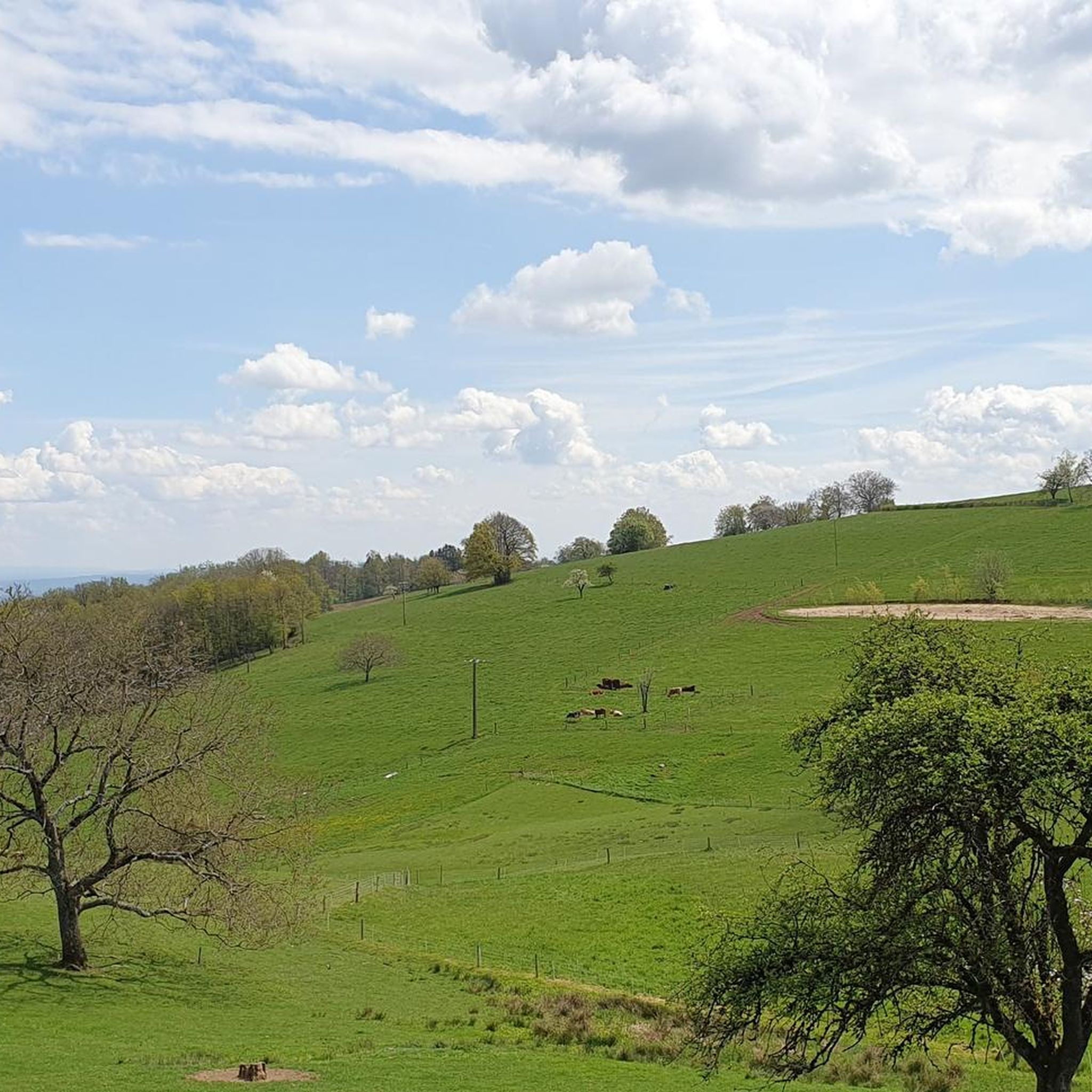
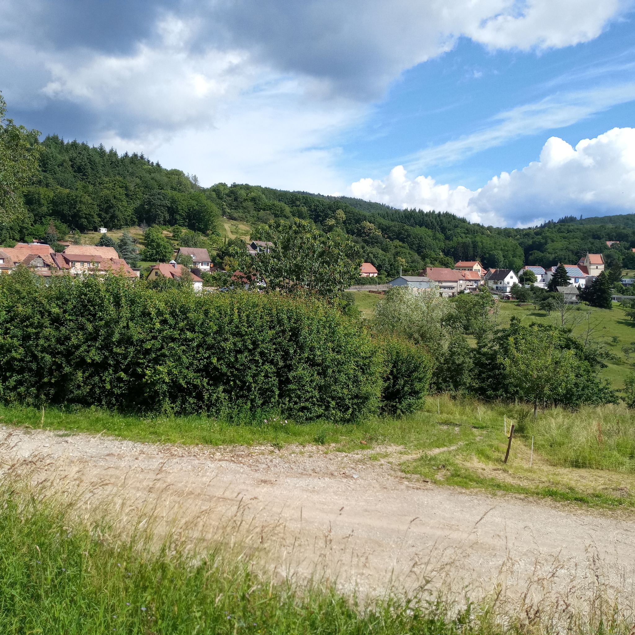
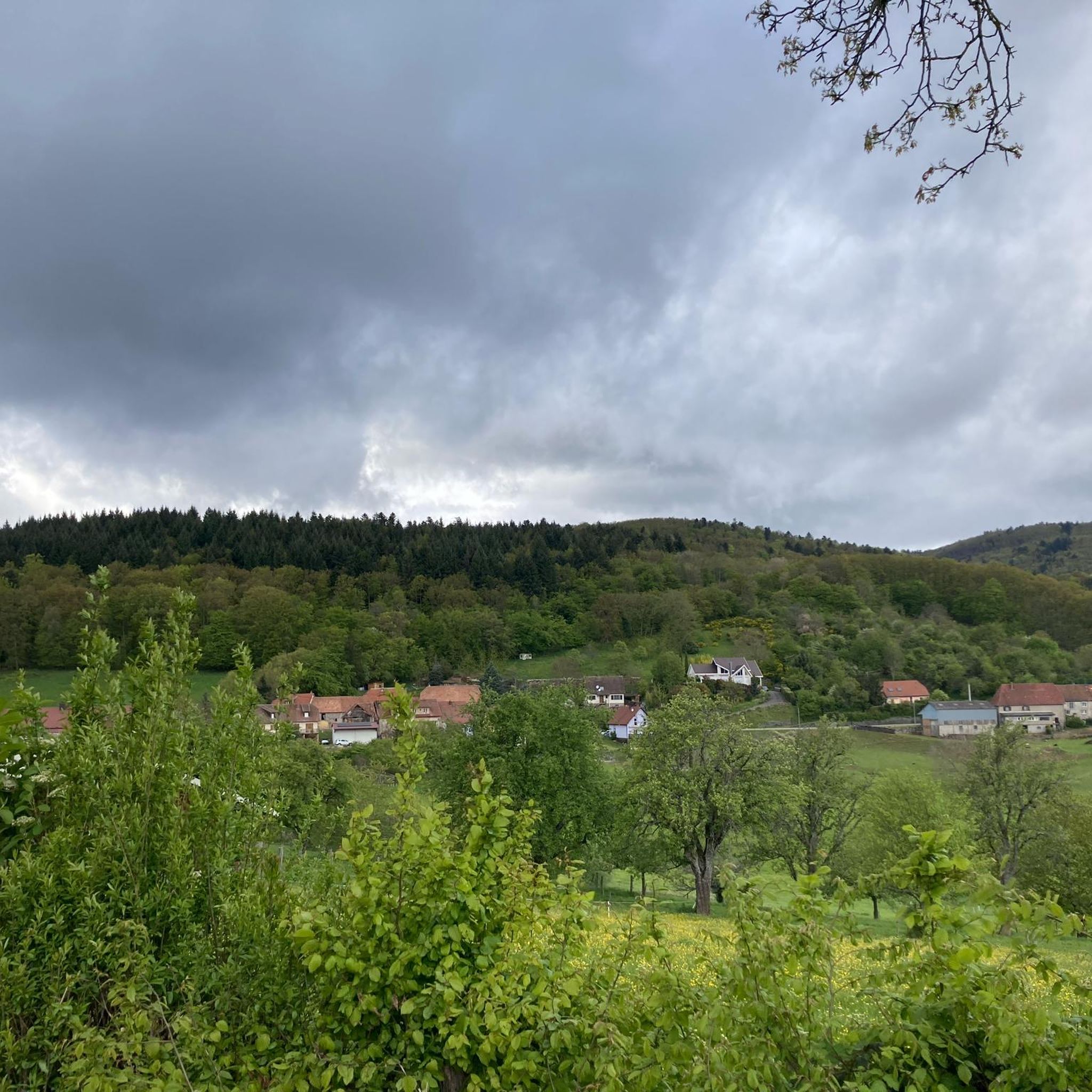
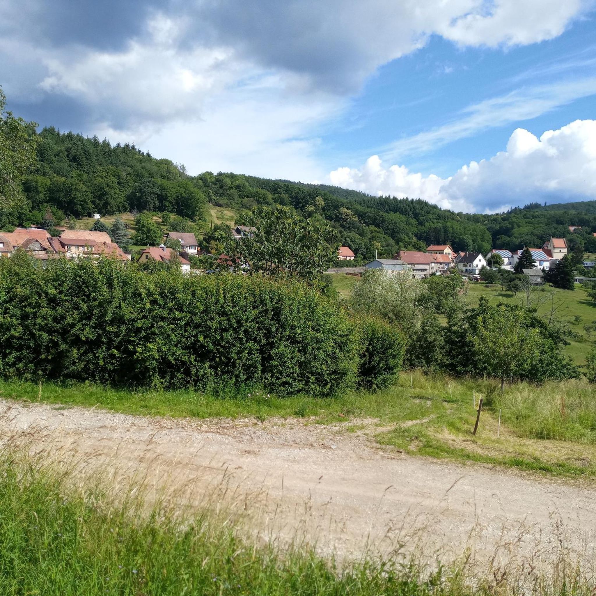

Tips from the Community

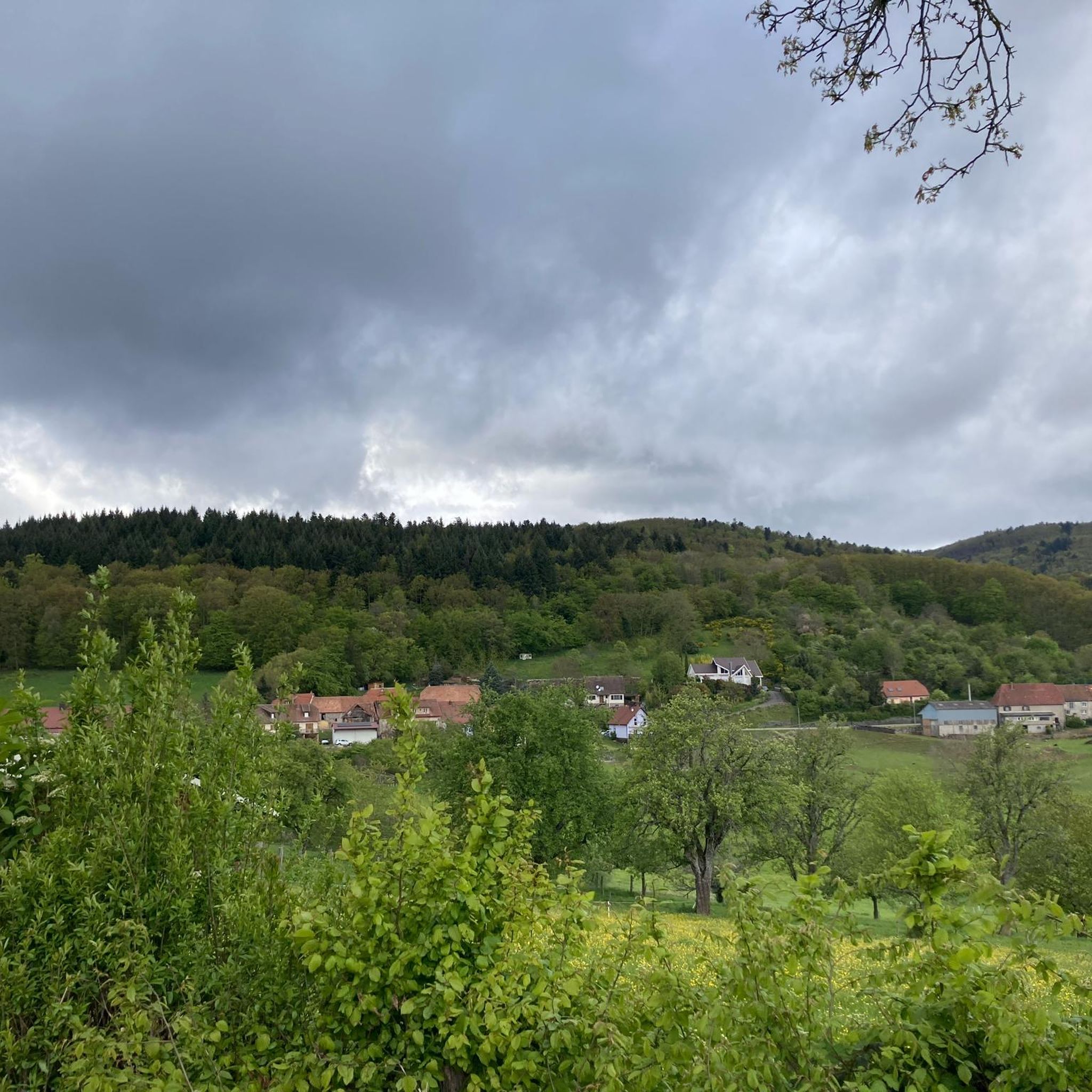
The Col du Hunsrück (748 m) is a quiet and wooded pass above Willer-sur-Thur. The steady climb and beautiful nature make this a pleasant classic in the southern Vosges, with connections to both the Thur and Dollervallei valleys.
6
0


Fernand Zumbiehl, parish priest of Geishouse from 1960 to 1995, was president of the St-Amarin section of the Club Vosgien from 1962 to 1989. With several hundred members at the time, this section was the strongest in Alsace, which must have been a heavy burden for the priest!
0
0

Beautiful hike and beautiful viewpoint
1
0


Located at an altitude of 800 meters.
1
0


Ferme Auberge Gsang: great view, good food
0
0
Frequently Asked Questions
What are the typical difficulty levels for mountaineering routes around Rammersmatt?
The mountaineering routes in the Rammersmatt region offer a mix of challenges. You'll find 2 moderate routes and 2 difficult routes. For instance, the Hundsruck Pass – Panoramic view loop from Bourbach-le-Haut is a moderate option, while the Hundsruck Pass – Vogelstein (Bird Rock) loop from Willer-sur-Thur presents a more difficult journey with significant elevation gain.
How long do mountaineering routes in Rammersmatt typically take to complete?
The duration of mountaineering routes around Rammersmatt varies depending on the trail and your pace. For example, the Hundsruck Pass – Panoramic view loop from Bourbach-le-Haut typically takes about 5 hours, covering 9.7 miles (15.5 km). Longer routes, like the Hundsruck Pass – Vogelstein (Bird Rock) loop from Willer-sur-Thur, can take over 8 hours for its 16.6 miles (26.8 km).
Are there any circular mountaineering routes available in the Rammersmatt area?
Yes, several mountaineering routes around Rammersmatt are designed as loops, allowing you to start and end in the same location. Examples include the Hundsruck Pass – Panoramic view loop from Bourbach-le-Haut, the Viewpoint loop from Wattwiller, and the Lourdes Grotto – Moosch loop from Moosch.
What kind of views and natural features can I expect on these mountaineering routes?
Mountaineering routes around Rammersmatt traverse the diverse terrain of the Vosges mountains, offering forested slopes, elevated viewpoints, and significant elevation changes. You can expect panoramic vistas across the landscape, such as those found on the Hundsruck Pass – Panoramic view loop from Bourbach-le-Haut. Many routes explore higher ground, leading to stunning natural scenery.
Are there any specific viewpoints or landmarks to look out for along the trails?
Absolutely. The region is rich with notable points of interest. You can find the Viewpoint at the summit of Vieil Armand, or the Vogelstein (Bird Rock), which is part of a challenging loop from Willer-sur-Thur. The Hartmannswillerkopf National Monument and Military Cemetery also offers a significant historical landmark.
What is the best time of year for mountaineering in Rammersmatt?
The Vosges mountains, where Rammersmatt is located, are generally best for mountaineering from late spring through early autumn (May to October) when the weather is more stable and trails are clear of snow. During these months, you'll experience pleasant temperatures and full access to the high-altitude viewpoints.
Are there any huts or places to rest along the mountaineering routes?
Yes, the area around Rammersmatt offers several huts and refuges that can serve as resting points or even overnight stays. Notable options include the Viewpoint at the Rehbrunnel shelter, the Belacker Farmhouse Inn, and the Molkenrain Refuge. These spots often provide refreshments and shelter.
What should I wear or bring for mountaineering in the Rammersmatt region?
Given the varied mountain terrain and significant elevation changes in the Vosges, it's essential to wear appropriate hiking boots with good ankle support. Layered clothing is recommended to adapt to changing weather conditions, as well as waterproof outer layers. Always carry sufficient water, snacks, a map or GPS device, and a first-aid kit.
Are there any beginner-friendly mountaineering routes in Rammersmatt?
While many routes involve significant elevation, some are more accessible. The region offers 2 moderate routes that could be suitable for beginners with a good level of fitness. For example, the Lourdes Grotto – Moosch loop from Moosch is a moderate 7.9-mile (12.8 km) trail that provides a good introduction to the area's terrain.
What do other mountaineers enjoy most about the routes in Rammersmatt?
The mountaineering routes in Rammersmatt are highly rated by the komoot community, with an average score of 3.5 stars from over 4 reviews. Mountaineers often praise the diverse terrain, the challenging ascents, and the rewarding panoramic views across the Vosges mountains. The mix of forested slopes and elevated viewpoints is frequently highlighted.
Is parking generally available near the trailheads for these routes?
Yes, parking is typically available in the villages or at designated trailheads near the start of these mountaineering routes. For specific routes, it's advisable to check the tour details on komoot for precise parking information, often found in the route description or comments section.
Are there any advanced or particularly challenging mountaineering routes in Rammersmatt?
For experienced mountaineers seeking a challenge, Rammersmatt offers several difficult routes. The Hundsruck Pass – Vogelstein (Bird Rock) loop from Willer-sur-Thur is a difficult 16.6-mile (26.8 km) path with substantial elevation gain. Another challenging option is the Raven Rock loop from Rimbach-près-Masevaux, which also features significant ascents.
Most popular routes around Rammersmatt
Most popular attractions around Rammersmatt

Get inspired with the komoot mobile app


Explore more
Browse the best Mountain Hikes & Routes in other regions.
