The best mountain hikes around Altthann
4.3
(5)
19
hikers
4
hikes
Mountaineering routes around Altthann offer access to the diverse landscapes of the Thann-Cernay region, situated between the Alsace plain and the Vosges peaks. The area features a varied and often demanding relief, characterized by dense forests, rocky outcrops, and significant elevation changes. Natural climbing sites like the Rocher du Krapenfels and the Rocher du Hirnelestein are present. The region provides a network of trails suitable for mountaineering, including ascents to peaks such as the Grand Ballon.
Best mountaineering routes around…
Last updated: June 25, 2026
5
hikers
15.5km
04:58
640m
640m
Moderate mountaineering route. Good fitness required. Easily-accessible paths. Suitable for all skill levels.
5.0
(3)
6
hikers
Moderate mountaineering route. Great for any fitness level. Mostly accessible paths. Sure-footedness required.

Sign up for free
4
hikers
26.8km
08:45
1,200m
1,200m
Hard mountaineering route. Very good fitness required. Easily-accessible paths. Suitable for all skill levels.
5.0
(1)
2
hikers
15.1km
05:12
820m
820m
Hard mountaineering route. Very good fitness required. Easily-accessible paths. Suitable for all skill levels.
3.0
(1)
2
hikers
12.8km
04:02
490m
490m
Moderate mountaineering route. Good fitness required. Easily-accessible paths. Suitable for all skill levels.
Our route recommendations are based on thousands of hikes, rides, and runs completed by other people on komoot.
Start today with a free account
Your next adventure awaits.
Login or Signup

Tips from the Community

Beautiful hike and beautiful viewpoint
0
0

very beautiful view, you can sometimes see the Alps.
0
0


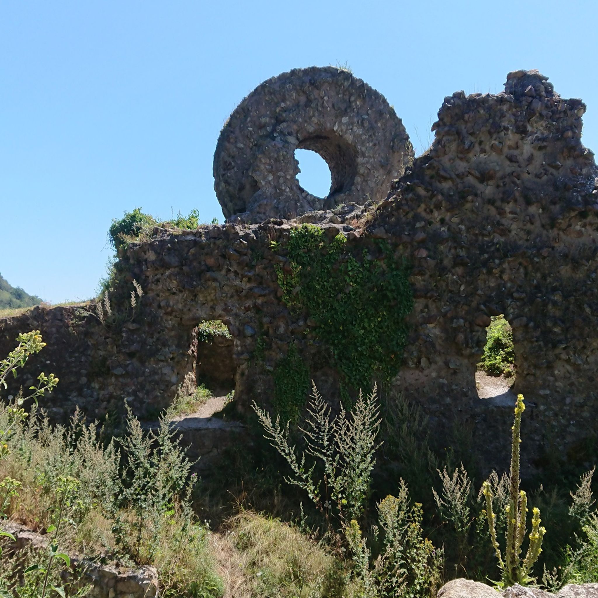
Vieil Armand, also known as Hartmannswillerkopf, is a striking mountain peak in the southern Vosges, near the Col Amic. This place is not only popular with cyclists because of the challenging climb and the panoramic view of the Rhine plain, but also an important historical monument. During the First World War, fierce fighting took place here between French and German troops, resulting in a static trench warfare. Today, the area is a national memorial with a crypt, military cemetery and well-preserved trenches. The climb to Vieil Armand via the Col Amic is not only sportingly rewarding, but also impressive because of the historical significance of the landscape.
6
0

Ferme Auberge Gsang: great view, good food
0
0

Breathtaking panoramic views across the Rhine plain to the Black Forest, and on clear days, even the Alps. Highly recommended.
3
0

Beautiful rocky viewpoint pointing towards Belacker, Drumont and Tête des Perches
0
0
Rocky viewpoint located in the immediate vicinity of the Hundsdruck pass.
0
0
Frequently Asked Questions
What is the overall difficulty level of mountaineering routes around Altthann?
The mountaineering routes in the Altthann area offer a range of challenges. You'll find both moderate and difficult options. For instance, the Vogelstein loop from Bourbach-le-Haut is a moderate route, while the Vogelstein – Rossberg loop from Willer-sur-Thur presents a more difficult challenge with substantial ascents.
Are there any circular mountaineering routes available near Altthann?
Yes, many of the mountaineering routes around Altthann are designed as loops, allowing you to start and finish in the same location. Examples include the Vogelstein loop from Bourbach-le-Haut and the Viewpoint loop from Wattwiller, both offering diverse terrain and scenic vistas.
What kind of landscapes can I expect to see on these mountaineering routes?
The region around Altthann, nestled between the Alsace plain and the Vosges peaks, offers a generous and varied nature. You'll traverse dense forests, encounter rocky outcrops, and experience significant elevation changes. Many routes provide panoramic views, extending to the Black Forest and the Jura mountains on clear days, especially from vantage points like the Molkenrain or Thannerhubel.
Are there any routes that lead to the Grand Ballon, the highest peak in the Vosges?
Yes, the Grand Ballon is a significant attraction for mountaineers in the area. You can explore routes that take you towards this iconic peak, such as the Grand Ballon – Monument on the Grand Ballon loop from Rimbach-près-Guebwiller. This area offers a variety of landscapes from dense forests to scenic ridge paths.
What are some notable natural attractions or landmarks along the mountaineering trails?
As you explore the mountaineering routes, you'll find several points of interest. The Grand Ballon itself is a major highlight. Other notable features include the Haag Pass and the Viewpoint at the summit of Vieil Armand. The region also features natural climbing sites like the Rocher du Hirnelestein, known for its expansive views.
What do other mountaineers say about the routes in Altthann?
The mountaineering routes around Altthann are highly regarded by the komoot community, with an average rating of 4.3 stars. Users often praise the diverse terrain, the challenging ascents, and the rewarding panoramic views that can be enjoyed from various points along the trails.
Are there any less crowded mountaineering options for a quieter experience?
While some routes are popular, the extensive network of over 450 km of trails in the Thann-Cernay region means you can often find quieter paths. Consider exploring routes that venture deeper into the forests or less-trafficked sections of the GR5 for a more serene experience. The Lourdes Grotto – Moosch loop from Moosch offers a moderate challenge through varied terrain.
What is the best season for mountaineering around Altthann?
The region is suitable for outdoor activities throughout much of the year. Spring and autumn offer pleasant temperatures and vibrant scenery, ideal for challenging ascents. Summer provides longer daylight hours, though some high-altitude areas can be warm. Winter also offers opportunities for snow-covered trails, but requires appropriate gear and experience for winter mountaineering.
Are there any specific climbing sites in the Altthann area?
Beyond general mountaineering, the Thann-Cernay region is known for its natural climbing sites. These include the Rocher du Krapenfels in Bourbach-le-Haut, the Rocher du Hirnelestein in Steinbach, the Rocher du Kattenbachy, and the Roche du Rosenbourg in Thann. For more detailed information on climbing, you can visit the local tourism site: Climbing in Thann-Cernay.
What are the typical distances and elevation gains for mountaineering routes here?
The routes vary significantly in length and elevation. For example, the moderate Vogelstein loop from Bourbach-le-Haut covers about 15.4 km with over 630 meters of elevation gain. More difficult routes, like the Vogelstein – Rossberg loop from Willer-sur-Thur, can be around 26.5 km long with over 1180 meters of ascent, providing a substantial challenge.
Where can I find more information about the extensive hiking trail network in the region?
The Thann-Cernay region boasts over 450 km of hiking trails, catering to all levels. This network includes parts of the famous GR5. For more details on the broader hiking opportunities and to explore maps, you can consult the local tourism website: Walks and Hikes in Thann-Cernay.
Most popular routes around Altthann
Most popular attractions around Altthann

Get inspired with the komoot mobile app


Explore more
Browse the best Mountain Hikes & Routes in other regions.
