The best mountain hikes around Étang de Gnioure
5.0
(3)
21
hikers
5
hikes
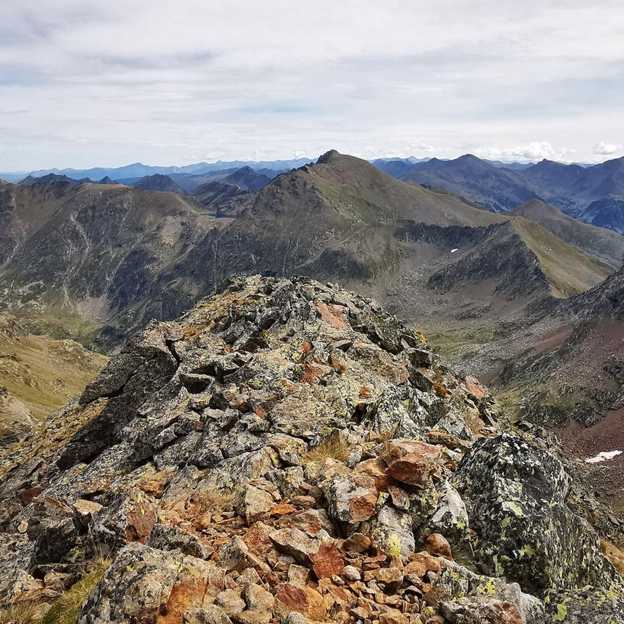
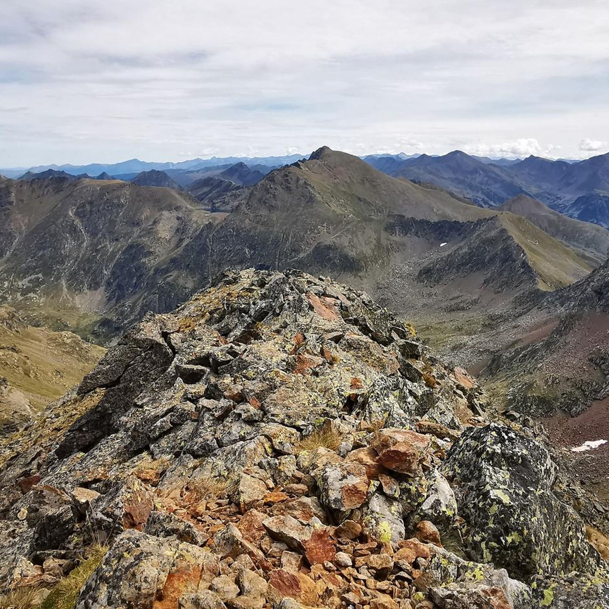
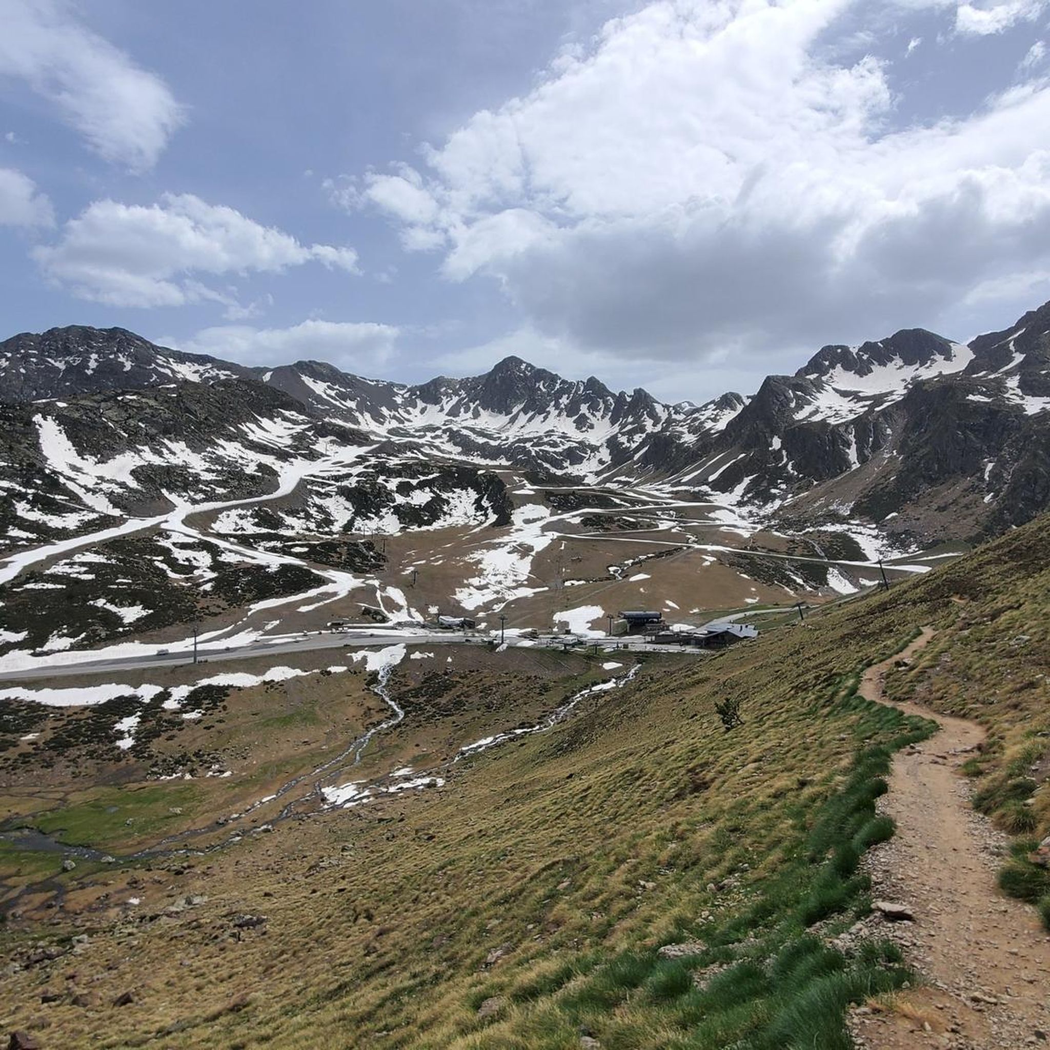
Mountaineering routes around Étang de Gnioure traverse a rugged Pyrenean landscape characterized by high-altitude lakes and prominent peaks. The region features diverse terrain, including shaded forests, alpine meadows, and challenging rocky sections. Étang de Gnioure itself sits at an elevation of 1831.5 meters, serving as a gateway to more technical alpine experiences within the broader Ariège Pyrenees.
Best mountaineering routes around Étang de Gnioure
- The most popular mountaineering route is Pic de l'Estanyó loop from El Serrat, a 8.8…
Last updated: October 17, 2026
5.0
(2)
5
hikers
14.1km
07:33
1,280m
1,280m
Hard mountaineering route. Very good fitness required. Sure-footedness, sturdy shoes and alpine experience required.
5.0
(1)
2
hikers
Moderate mountaineering route. Good fitness required. Mostly accessible paths. Sure-footedness required.

5
hikers
10.0km
05:02
820m
820m
Hard mountaineering route. Very good fitness required. Mostly accessible paths. Sure-footedness required.
6
hikers
11.4km
04:50
680m
680m
Hard mountaineering route. Good fitness required. Sure-footedness, sturdy shoes and alpine experience required.
3
hikers
14.8km
08:01
1,210m
1,210m
Hard mountaineering route. Very good fitness required. Sure-footedness, sturdy shoes and alpine experience required.
Our route recommendations are based on thousands of hikes, rides, and runs completed by other people on komoot.
Start today with a free account
Your next adventure awaits.
Tips from the Community

Small Botanical Garden with many mountain plants. Freely accessible to everyone.
0
0

Solar viewpoint on the Peyraguils pass or summit, a metal structure that allows a 360° view of the valleys of the Andorran Pyrenees and the Aran Valley, with views of Aneto.
2
0

Here again: Someone is rating ALL photos of highlights in this region (Northwest Pyrenees) "not accurate," even though they accurately depict the location? Why does anyone need to do that? Is it jealousy? Does someone want to drag down others' "expert" ratings? How pathetic.
1
1
Also here: Why is someone rating ALL photos "not helpful"? Is someone trying to drag down others' "expert" ratings? Who? And why? I find this pathetic.
1
1
Perhaps not the most comfortable bench, but a very photogenic one made of stone in a beautiful spot. During the season and on weekends when the weather is nice, the parking lot gets busy... Starting point for many different hiking and mountain tours. Please open the image for portrait format.
2
0
A scenic parking lot above the reservoir. From here, you can start a variety of hikes and mountain tours, including the shortest (but challenging T4) ascent to the Pica d'Estats, Montcalm, and Pic de l'Étang Fourcat. However, in good weather and on weekends, this spot is very busy, so even the plentiful parking spaces are limited. Mountaineers who want to avoid this should set off early.
3
0

Magnificent summit made by the very fun port of Bouet
0
0

The structure is designed to mark the hours of sunlight throughout the day, allowing visitors to experience how sunlight interacts with the structure at different times. In short, the Tristaina Solar Viewpoint is a work by Rafael Galindo, built in Corten steel and inaugurated in 2021, which celebrates the sun and its daily journey, offering a unique experience in one of the most impressive natural settings in Andorra.
1
0
Frequently Asked Questions
How many mountaineering routes are available around Étang de Gnioure?
There are 6 mountaineering routes documented around Étang de Gnioure. These routes offer a range of challenging alpine experiences within the Pyrenean landscape.
What are the typical difficulty levels for mountaineering routes in this region?
The mountaineering routes around Étang de Gnioure are predominantly challenging. Out of the 6 routes, 5 are rated as 'difficult' and 1 is rated 'moderate'. These trails often require very good fitness, sure-footedness, and alpine experience due to steep, stony sections and significant elevation gains.
Are there any circular loop routes for mountaineering around Étang de Gnioure?
Yes, several routes are designed as loops. For instance, the Pic de l'Estanyó loop from El Serrat is a difficult 14.1 km route. Another option is the Lago Seco – Pic de Tristaina (2,368 m) loop from Ordino-Arcalís, which is 7.5 km long and also difficult. For a moderate option, consider the Lago Seco loop from Ordino-Arcalís, covering 7.9 km.
What kind of natural landmarks or features can I expect to see along the routes?
The region is rich in stunning natural features. You'll encounter numerous high-altitude lakes beyond Étang de Gnioure itself, such as Étang d'Izourt, Étang du Rouch, Étangs des Llassiès, and Étang de Peyregrand. Prominent peaks like Pic de Tristagne and Pic de l'Aspre (2,744 m) dominate the skyline. The routes also traverse dramatic valleys with tumultuous cascades and rocky sections, offering breathtaking 'balcony' passages.
Is Étang de Gnioure suitable for family-friendly mountaineering?
Mountaineering routes around Étang de Gnioure are generally considered challenging, requiring good fitness and alpine experience. While the area is beautiful, it's not typically recommended for young children or families seeking easy walks. The terrain often involves steep, stony paths and significant elevation changes.
Can I bring my dog on the mountaineering trails near Étang de Gnioure?
While many trails in the Pyrenees are dog-friendly, it's essential to check specific regulations for each route or protected area. Given the challenging nature of these mountaineering routes, ensure your dog is fit for strenuous, high-altitude terrain and that you carry enough water and supplies for both of you. Always keep dogs under control, especially near livestock or wildlife.
What is the best time of year for mountaineering in Étang de Gnioure?
The best time for mountaineering around Étang de Gnioure is typically during the summer months, from late June to early September, when snow has largely melted from higher elevations. However, even in early summer, some routes or passes may still require mountaineering equipment like an ice axe and crampons. Always check local conditions and weather forecasts before heading out.
What essential gear should I bring for mountaineering in this area?
Given the challenging alpine environment, you should bring sturdy hiking boots with good ankle support, appropriate layers of clothing for varying weather conditions, rain gear, a map and compass or GPS device, sufficient water and food, a first-aid kit, and sun protection. For certain routes or early season conditions, an ice axe and crampons might be necessary. Sure-footedness and alpine experience are also crucial.
Are there any less crowded mountaineering routes around Étang de Gnioure?
While specific crowd levels can vary, routes that are longer or involve more significant elevation gain tend to be less frequented. For example, the Pic de la Rouge – View of Étang de Soulcem loop from Étang de Soulcem is a difficult 14.9 km route with substantial elevation, which might offer a more solitary experience compared to shorter, more accessible trails.
What do other mountaineers enjoy most about the routes in Étang de Gnioure?
The area is highly rated by the komoot community, with an average score of 5.0 stars. Reviewers often praise the stunning high-altitude lakes, the dramatic Pyrenean scenery, and the challenging nature of the routes that provide a true alpine experience. The varied terrain, from shaded forests to rocky sections, also contributes to a rewarding journey.
Are there any options for public transport to reach the trailheads?
Access to remote mountain areas like Étang de Gnioure by public transport can be limited. While some valleys in the Ariège Pyrenees might have seasonal bus services, direct public transport to specific trailheads for mountaineering routes is often unavailable. It is generally recommended to travel by car to reach the starting points of these routes.
Are there any permits required for mountaineering or climbing in the Étang de Gnioure area?
Generally, permits are not required for hiking or mountaineering on established trails in the Étang de Gnioure area. However, if you plan to engage in more technical climbing or access specific protected zones, it's always advisable to check with local authorities or mountain guides for any specific regulations or permit requirements that might apply to certain sectors or activities within the broader Ariège Pyrenees.
Can I find accommodation or cafes near the mountaineering routes?
The immediate vicinity of Étang de Gnioure is a high-mountain environment, so direct access to cafes or extensive accommodation options right at the trailheads is limited. However, you can find accommodation and services in nearby villages and towns within the Ariège Pyrenees, which serve as excellent bases for exploring the region. It's best to plan your provisions and overnight stays in advance.
Most popular routes around Étang de Gnioure

Get inspired with the komoot mobile app


Explore more
Browse the best Mountain Hikes & Routes in other regions.
