The best mountain hikes around Lac de Rabuons
5.0
(1)
19
hikers
2
hikes
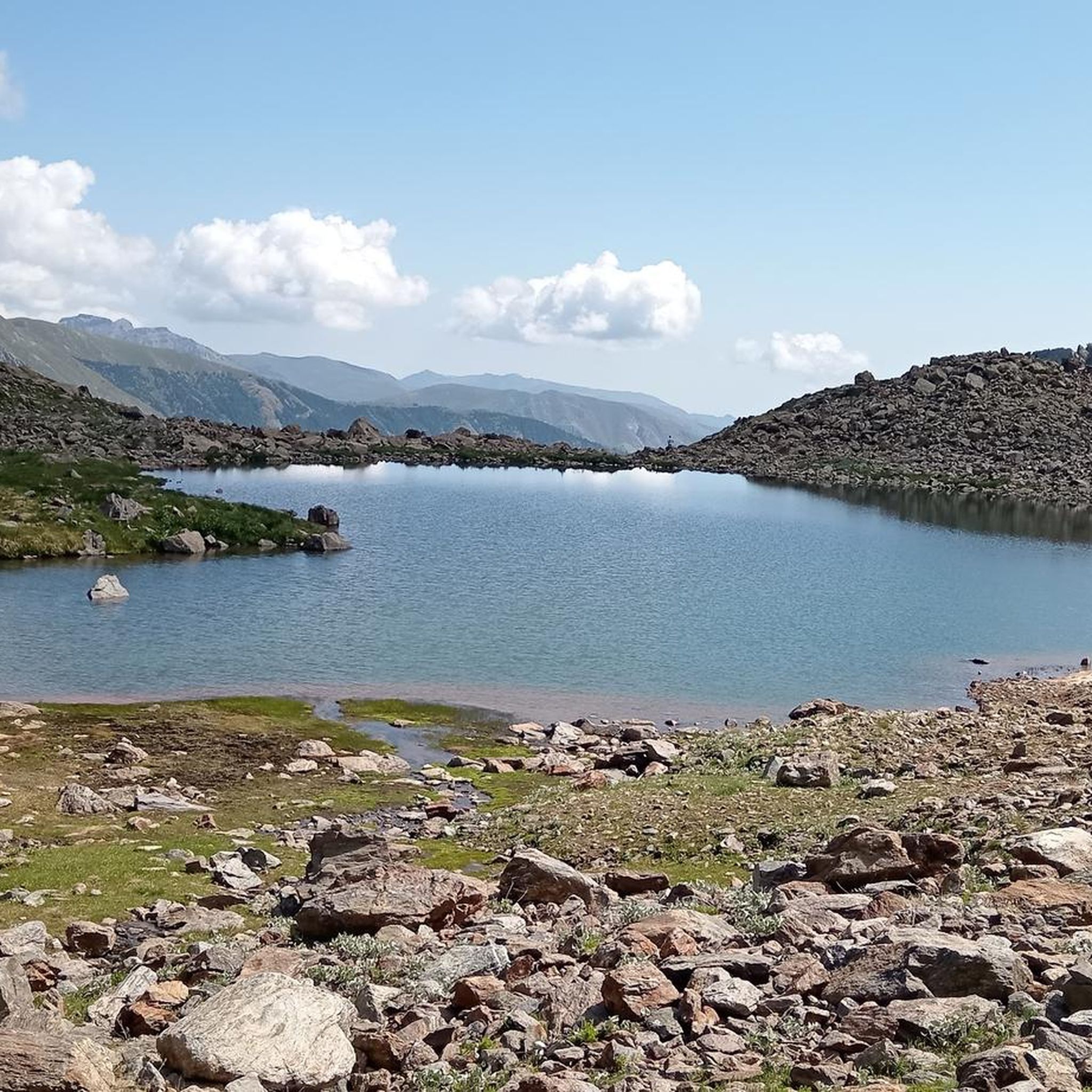
Mountaineering around Lac de Rabuons offers challenging ascents within the Mercantour massif, characterized by a dramatic glacial cirque and the largest high-altitude lake in the Alpes-Maritimes. The region features a rugged mineral setting, with formidable peaks exceeding 3000 meters, including Mont Ténibre and Corborant. Diverse ecosystems transition from dense forests to alpine lawns before reaching the barren, high-alpine landscape around the lake.
Best mountaineering routes around Lac de Rabuons
- The most popular mountaineering route is Lago Lausfer inferiore – Cima…
Last updated: July 1, 2026
8
hikers
15.3km
07:18
1,180m
1,180m
Hard mountaineering route. Very good fitness required. Sure-footedness, sturdy shoes and alpine experience required.
5.0
(1)
8
hikers
15.5km
07:58
1,330m
1,330m
Hard mountaineering route. Very good fitness required. Sure-footedness, sturdy shoes and alpine experience required.

Sign up for free
3
hikers
15.4km
06:36
1,060m
1,060m
Hard mountaineering route. Very good fitness required. Sure-footedness, sturdy shoes and alpine experience required.
Our route recommendations are based on thousands of hikes, rides, and runs completed by other people on komoot.
Start today with a free account
Your next adventure awaits.
Login or Signup
Tips from the Community

very well-kept village, "a jewel" worth a visit
0
0

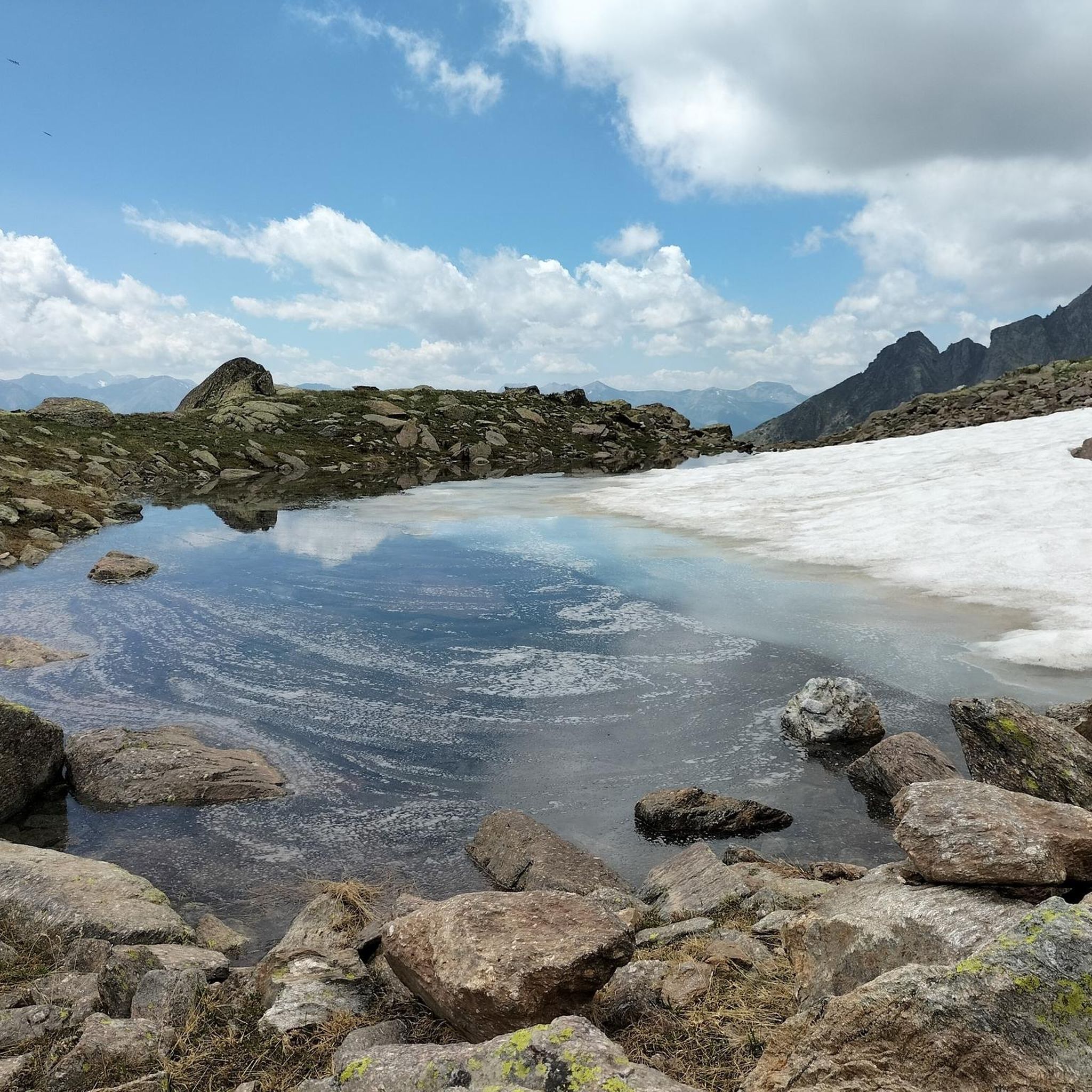
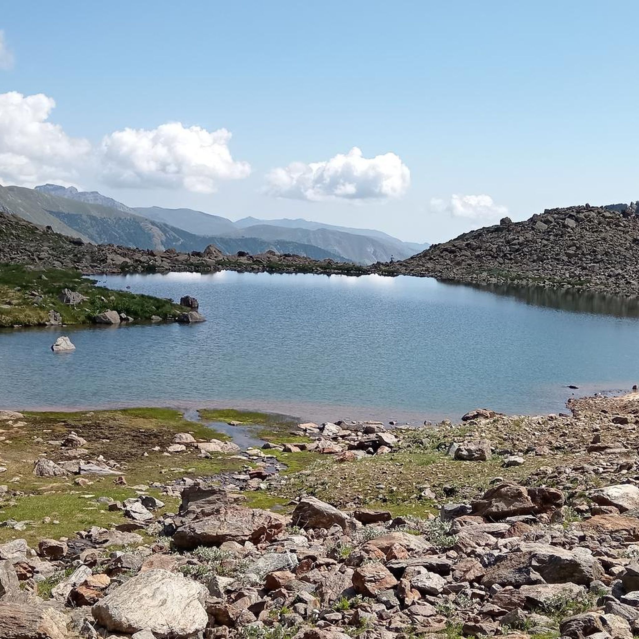
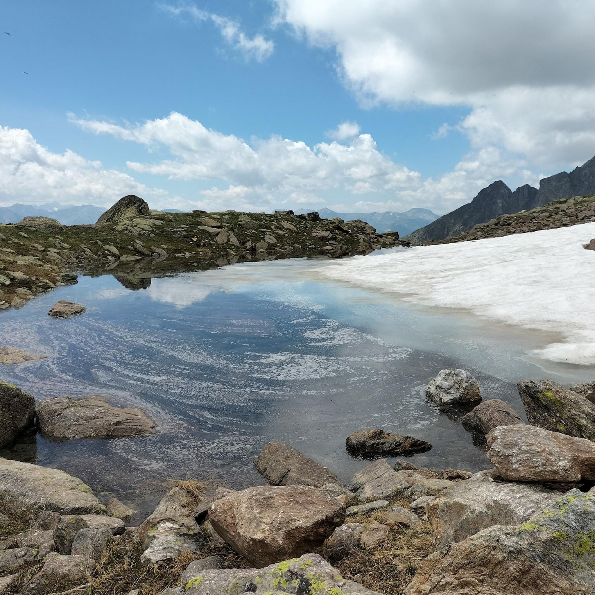
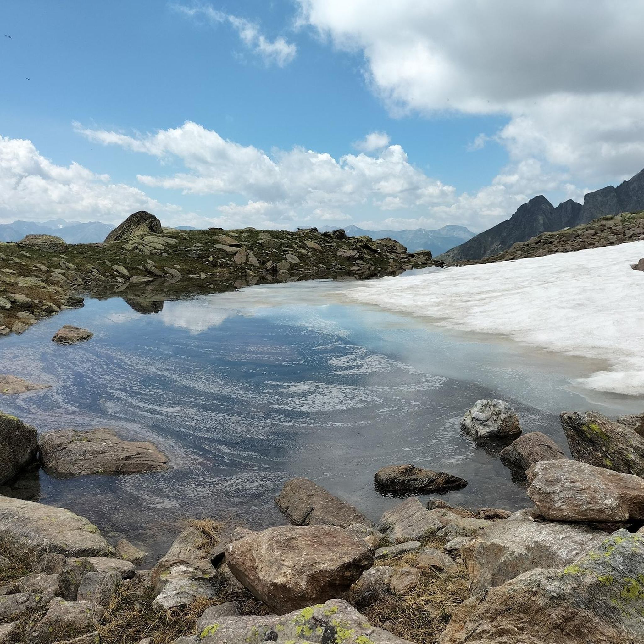
Another beautiful lake in the series, definitely worth the climb.
0
0

Beautiful village, typical narrow streets
0
0

Beautiful mountain village with some stone houses that have slate roofs
0
0

You can also reach the refuge by e-bike
1
0

Beautiful walk using the path that branches off from the dirt road
0
0
path p26 pontebernardo murenz
0
0

Beautiful refuge located on a small hill that allows you to observe the entire valley
3
1
Frequently Asked Questions
What kind of difficulty can I expect from mountaineering routes around Lac de Rabuons?
Mountaineering around Lac de Rabuons is generally challenging. Most routes are rated as difficult, with some moderate options available. For example, the Lago Lausfer inferiore – Cima di Corborant / Corborant loop from Parcheggio San Bernolfo is a demanding ascent, while the Cime de la Bercha – Cime Sud de la Bercha loop from Auron offers a moderate, yet rewarding, experience.
Are there any circular mountaineering routes available in the Lac de Rabuons area?
Yes, several mountaineering routes around Lac de Rabuons are designed as loops, allowing you to start and finish at the same point. Examples include the challenging Lago Lausfer inferiore – Cima di Corborant / Corborant loop from Parcheggio San Bernolfo and the Becco Alto di Rostagno loop from Bagni di Vinadio, both offering extensive exploration of the alpine terrain.
What natural features or landmarks can I see while mountaineering near Lac de Rabuons?
The region is rich in dramatic natural features. You'll encounter the impressive glacial cirque cradling Lac de Rabuons itself, the largest high-altitude lake in the Alpes-Maritimes. The routes often provide views of formidable peaks exceeding 3000 meters, such as Mont Ténibre and Corborant. You might also traverse diverse ecosystems, from dense larch forests to alpine lawns, before reaching the barren, mineral landscape around the lake.
What is the best time of year for mountaineering in the Lac de Rabuons region?
The prime season for mountaineering around Lac de Rabuons is typically from late spring to early autumn, when snowmelt allows access to higher elevations and conditions are generally more stable. During winter, the area transforms into a destination for ski touring, but this requires specific equipment and awareness of avalanche risks.
Are there any options for multi-day mountaineering trips in this area?
Yes, the presence of the Refuge de Rabuons at 2523 meters makes multi-day mountaineering trips feasible. The refuge serves as a crucial base, offering accommodation and a place to refuel. It's also a common stop on longer traverses, connecting with other refuges like the Refuge of Vens, allowing for extended exploration of the Mercantour massif.
Can I bring my dog on the mountaineering trails around Lac de Rabuons?
The Mercantour National Park, where Lac de Rabuons is located, has specific regulations regarding dogs to protect its diverse wildlife. Generally, dogs are not permitted on trails within the core zone of the park, even on a leash. It's essential to check the latest park regulations before planning your trip with a dog to ensure compliance and avoid protected areas.
What kind of wildlife might I encounter on the mountaineering routes?
The diverse ecosystems around Lac de Rabuons, transitioning from forests to alpine landscapes, support a rich mountain fauna. Mountaineers often have the chance to observe ibex, chamois, and mouflons in their natural habitat, particularly in the higher, more remote sections of the trails.
Are there any permits required for mountaineering in the Lac de Rabuons area?
While general hiking and mountaineering in the Mercantour National Park typically do not require specific permits for day trips, it's always advisable to check the official Mercantour National Park website for any updated regulations, especially if you plan on bivouacking or undertaking specific technical climbs. There are no permits mentioned for the routes listed on komoot.
Where can I find accommodation near Lac de Rabuons?
The most direct accommodation for mountaineers is the Refuge de Rabuons, situated at 2523 meters. It provides a convenient base for exploring the high-alpine environment. For options further afield, towns in the Tinée valley, such as Auron, offer various lodging choices.
What do other mountaineers enjoy most about the routes around Lac de Rabuons?
The area is highly rated by the komoot community, with an average score of 5.0 stars. Mountaineers often praise the dramatic landscapes, the challenging ascents to 3000-meter peaks, and the unique experience of reaching the high-altitude Lac de Rabuons. The panoramic views over the Tinée valley and the sense of wilderness are frequently highlighted.
Are there any family-friendly mountaineering options around Lac de Rabuons?
Mountaineering in the high-alpine environment around Lac de Rabuons is generally demanding and best suited for experienced individuals. While there are hiking trails in the broader Mercantour region that might be suitable for families, the specific mountaineering routes listed for Lac de Rabuons are rated as moderate to difficult and require a good level of fitness and experience, making them less ideal for young children or beginners.
Is there parking available for accessing the mountaineering routes?
Access points for the mountaineering routes typically involve parking at nearby villages or designated trailheads. For example, the Lago Lausfer inferiore – Cima di Corborant / Corborant loop starts from Parcheggio San Bernolfo, indicating parking availability there. It's always recommended to check specific route descriptions for parking details.
Most popular routes around Lac de Rabuons

Get inspired with the komoot mobile app


Explore more
Browse the best Mountain Hikes & Routes in other regions.
