The best mountain hikes around Bahlingen
5.0
(4)
12
hikers
6
hikes
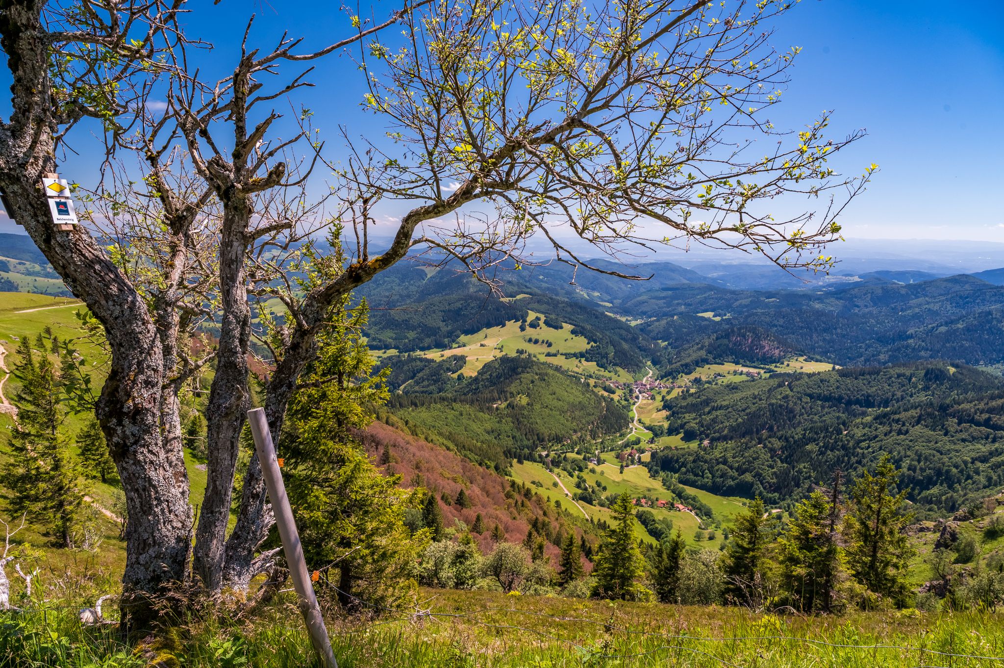
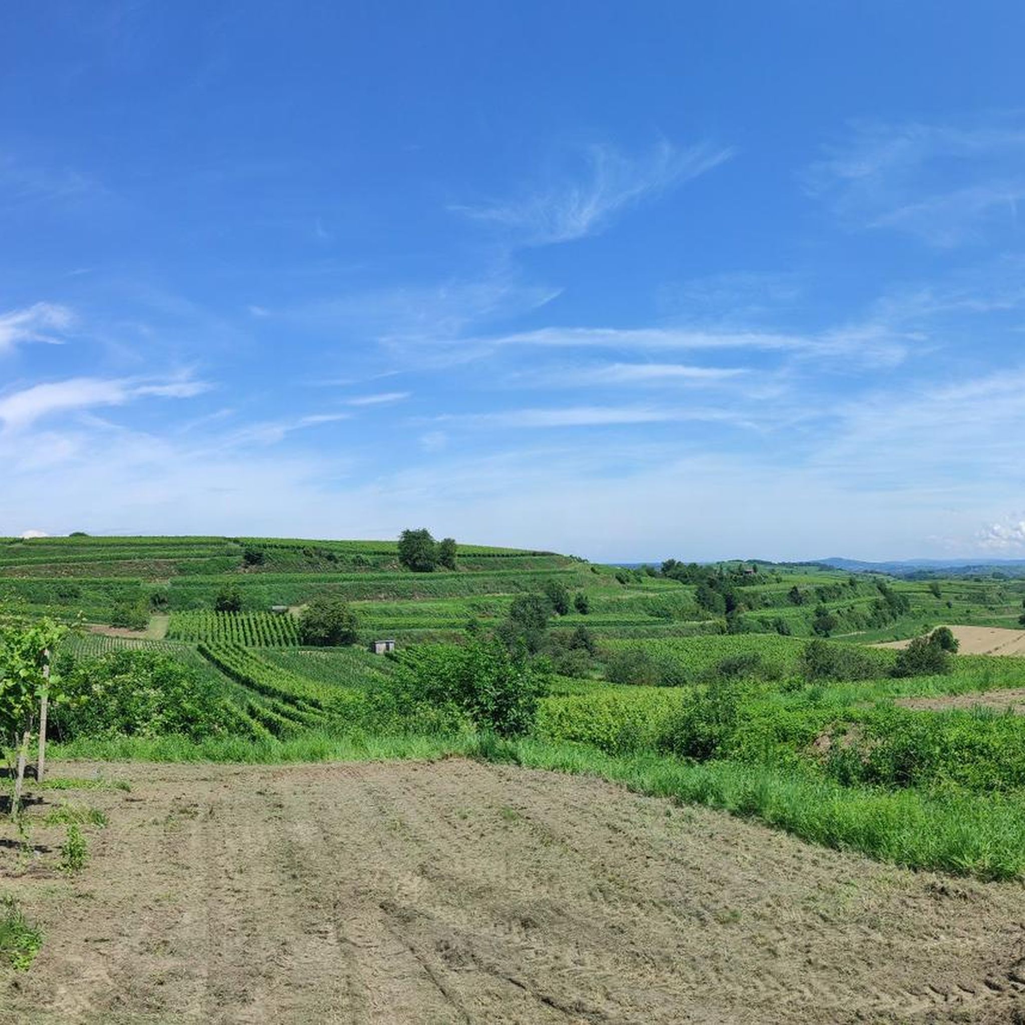
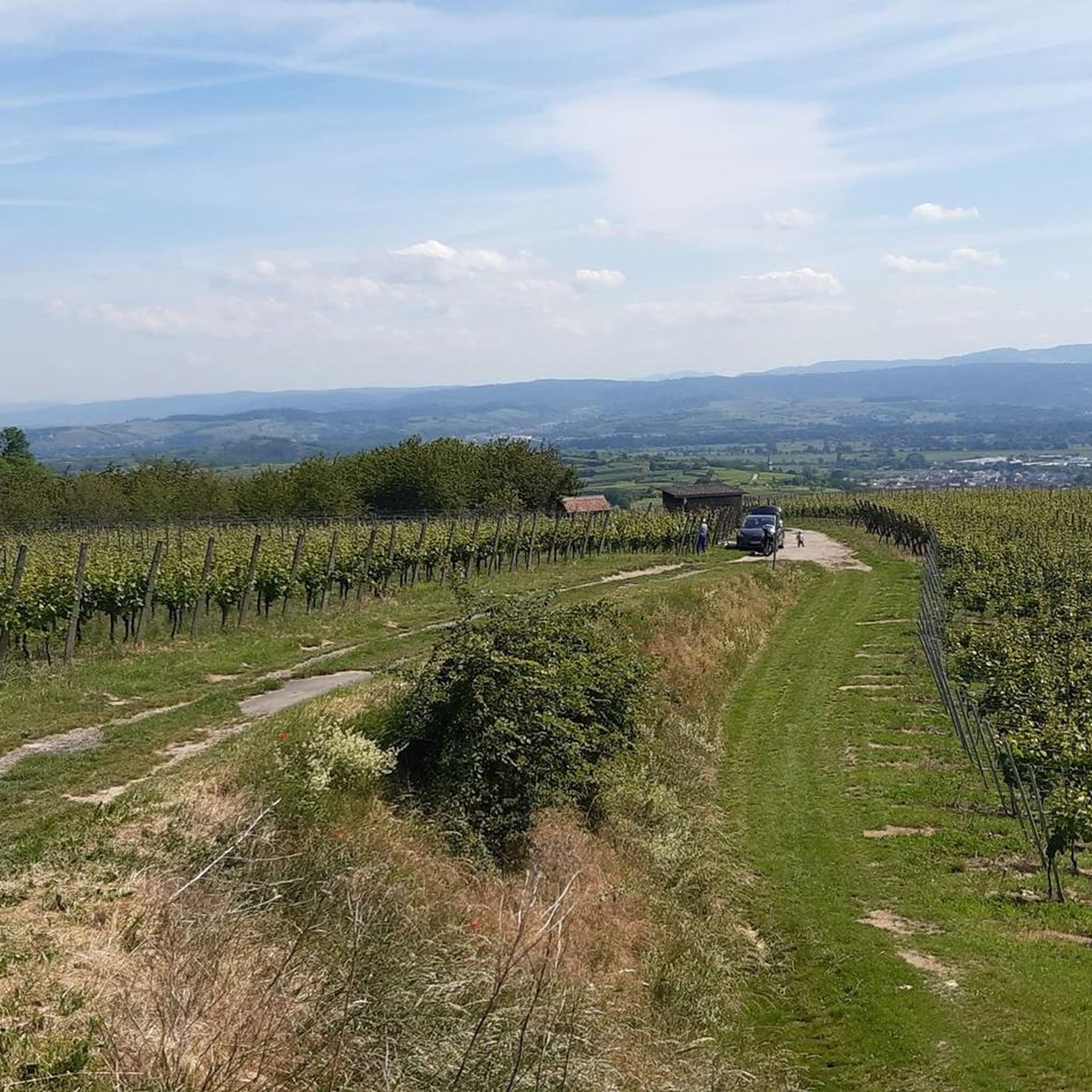
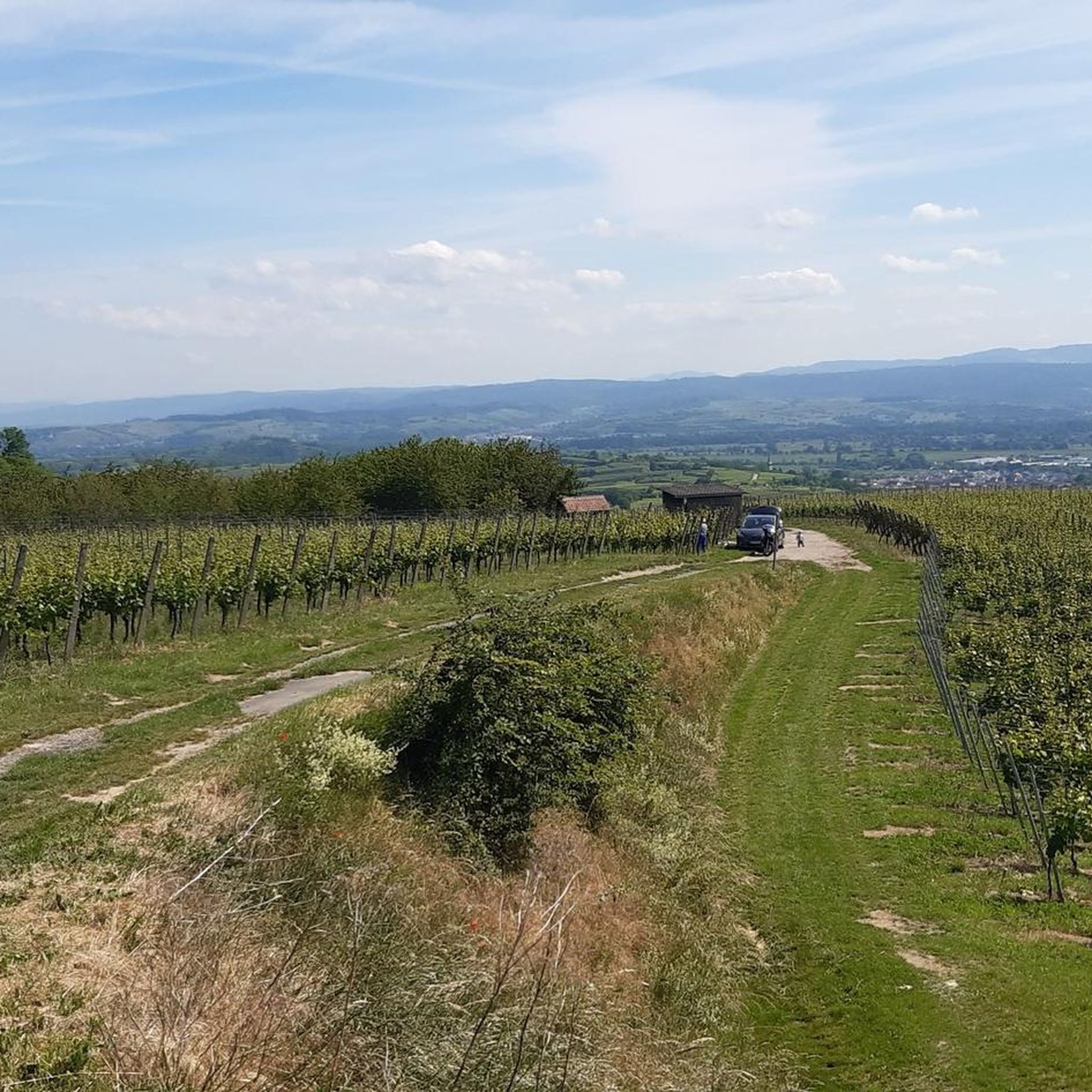
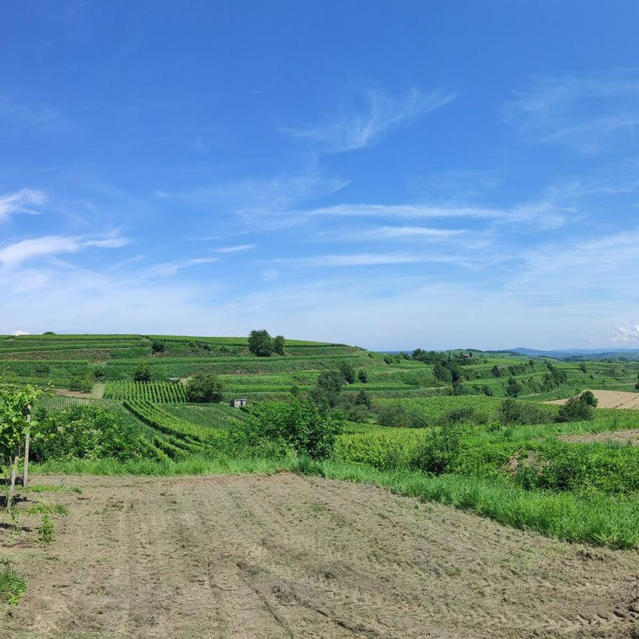
Mountaineering routes around Bahlingen traverse the unique volcanic landscape of the Kaiserstuhl region in southwestern Germany. This area is characterized by its extensive vineyards, distinctive loess-hollow ways, and numerous elevated points that offer rewarding climbs and panoramic views. While not featuring high-alpine terrain, the routes provide diverse challenges across hills and varied natural features.
Best mountaineering routes around Bahlingen
- The most popular mountaineering route is Texas Pass (Texaspass) – Weinlauben Street in Oberbergen loop from Kaiserstuhl, a 6.0 miles…
Last updated: June 29, 2026
4
hikers
Moderate mountaineering route. Good fitness required. Easily-accessible paths. Suitable for all skill levels.
4
hikers
Moderate mountaineering route. Good fitness required. Easily-accessible paths. Suitable for all skill levels.

Sign up for free
5.0
(1)
1
hikers
7.99km
02:29
310m
310m
Moderate mountaineering route. Good fitness required. Easily-accessible paths. Suitable for all skill levels.
5.0
(1)
1
hikers
8.09km
02:27
260m
260m
Moderate mountaineering route. Good fitness required. Easily-accessible paths. Suitable for all skill levels.
5.0
(1)
1
hikers
17.9km
05:23
560m
560m
Hard mountaineering route. Very good fitness required. Mostly accessible paths. Sure-footedness required.
Our route recommendations are based on thousands of hikes, rides, and runs completed by other people on komoot.
Start today with a free account
Your next adventure awaits.
Login or Signup
Popular around Bahlingen

Tips from the Community

A very beautiful and deep hollow lane, especially at the upper end, very overgrown and nice to walk through - definitely a better alternative to the main path running parallel.
1
0
A very beautiful path through the forest up the Totenkopf to the Neulindenturm. The steep and somewhat rocky climb is much more enjoyable than the wide path from the south, which I then continued on.
1
0

The Texas Pass connects the two towns of Oberbergen and Kiechlinsbergen in the Kaiserstuhl region. The connecting road was named Texas Pass because of its distinctive switchbacks.
0
0

just stop and enjoy
1
0

Highest point point around, worth the visit for the view!
0
0
Highest point of the Kaiserstuhl offering great views, and a perfect road to enjoy a decline on either bike.
0
0

Beautiful view, a life-affirming totem, a lounger, a bench, a table and a great view of the Kaiserstuhl and towards Freiburg.
1
0

On the way from Mondhalde to Katharinenberg you cross the road at Texaspass, also known for the cycling races that cross the ridge here.
0
0
Frequently Asked Questions
What kind of terrain can I expect on mountaineering routes around Bahlingen?
The terrain around Bahlingen is characterized by the unique volcanic landscape of the Kaiserstuhl region. You'll encounter extensive vineyards, distinctive loess-hollow ways, and varied paths that lead to elevated points. While not high-alpine, the routes offer diverse challenges across hills, with some requiring good fitness and sure-footedness.
Are there family-friendly mountaineering routes in Bahlingen?
Yes, while some routes are moderate to difficult, the Kaiserstuhl region offers trails suitable for families. For example, the Liliental Arboretum Trail – Neunlinden Tower loop from Kaiserstuhl is a moderate option that explores natural features like the Liliental Arboretum, which can be enjoyable for families. Always check the route details for specific difficulty and duration.
Can I bring my dog on the mountaineering routes?
Many trails in the Bahlingen area are dog-friendly, allowing you to enjoy the volcanic landscapes and vineyards with your canine companion. It's always a good idea to keep your dog on a leash, especially in vineyard areas or near wildlife, and to carry enough water for both of you. The Texas Pass (Texaspass) – Weinlauben Street in Oberbergen loop from Kaiserstuhl is a popular moderate route that could be suitable.
What are some notable landmarks or viewpoints I can discover along the routes?
The region is rich in viewpoints and natural features. You can visit the Neunlinden Tower, which offers extensive views of Freiburg, the Black Forest, and the Rhine plain. Other highlights include the Mondhalde Pavilion and Viewpoint and the Eichelspitz Tower. Many routes, like the Vogelsang Pass Viewpoint – Neunlinden Tower loop from Kaiserstuhl, specifically lead to these scenic spots.
Are there any circular routes available for mountaineering?
Yes, many of the mountaineering routes around Bahlingen are designed as loops, allowing you to start and end at the same point. Examples include the Texas Pass (Texaspass) – Weinlauben Street in Oberbergen loop from Oberrotweil, which is a moderate 11.5 km path, and the more challenging Neunlinden Tower – Totenkopf Observation Tower loop from Ohrberg, spanning over 17 km.
What is the best time of year to go mountaineering in Bahlingen?
Bahlingen benefits from a mild, almost Mediterranean climate, making it suitable for outdoor activities for much of the year. Spring and autumn are particularly pleasant, with comfortable temperatures and beautiful scenery as vineyards change colors. Even in warmer seasons, the varied terrain and shaded sections can offer enjoyable experiences. Winter mountaineering is possible, but conditions may vary, especially on higher points.
Are there places to eat or rest along the mountaineering routes?
The Kaiserstuhl region is known for its hospitality and viticulture. While specific cafes directly on every route might vary, you'll often find opportunities for refreshment in the villages you pass through or near popular viewpoints. The Fohberg Hut, for instance, is a sheltered wooden structure offering views and a place to rest. You can also find various huts and barbecue spots, such as the Bahlingen barbecue hut or Fuchsbuck Hut, which are great for a break.
How do other mountaineers rate the routes around Bahlingen?
The mountaineering routes in Bahlingen are highly regarded by the komoot community, with an average score of 5.0 stars from 4 reviews. Users often praise the scenic vineyards, the unique loess-hollow ways, and the rewarding panoramic views from elevated points like the Neunlinden Tower.
What are the typical distances and elevation gains for routes in this area?
The routes vary in length and elevation. Moderate routes, like the Texas Pass (Texaspass) – Weinlauben Street in Oberbergen loop from Kaiserstuhl, are around 9.6 km with about 225 meters of elevation gain. More difficult routes, such as the Neunlinden Tower – Totenkopf Observation Tower loop from Ohrberg, can extend to over 17 km with more than 550 meters of ascent, offering a significant challenge.
Is public transport available to reach the trailheads in Bahlingen?
Bahlingen is generally accessible by public transport. While specific trailhead access might require a short walk from a bus stop, the region is well-connected. For detailed information on schedules and tickets without a KONUS card, it's advisable to check local transport provider websites or apps for connections to Bahlingen am Kaiserstuhl.
Are there any permits required for mountaineering in the Kaiserstuhl region?
Generally, no specific permits are required for hiking or mountaineering on the established trails in the Kaiserstuhl region around Bahlingen. However, always respect private property, especially in vineyard areas, and adhere to local regulations regarding nature protection areas.
Most popular routes around Bahlingen
Most popular attractions around Bahlingen

Get inspired with the komoot mobile app


Explore more
Browse the best Mountain Hikes & Routes in other regions.
