The best running trails in Yoho National Park
233
runners
10
runs
Jogging routes in Yoho National Park traverse a landscape shaped by glaciers, featuring vertical rock walls, towering peaks, and powerful waterfalls. The park's terrain includes emerald forests, turquoise lakes, and snow-capped mountains, with the Kicking Horse River carving significant features. This Canadian Rocky Mountain region offers diverse running opportunities across its varied elevations and natural formations.
Best jogging routes in Yoho National Park
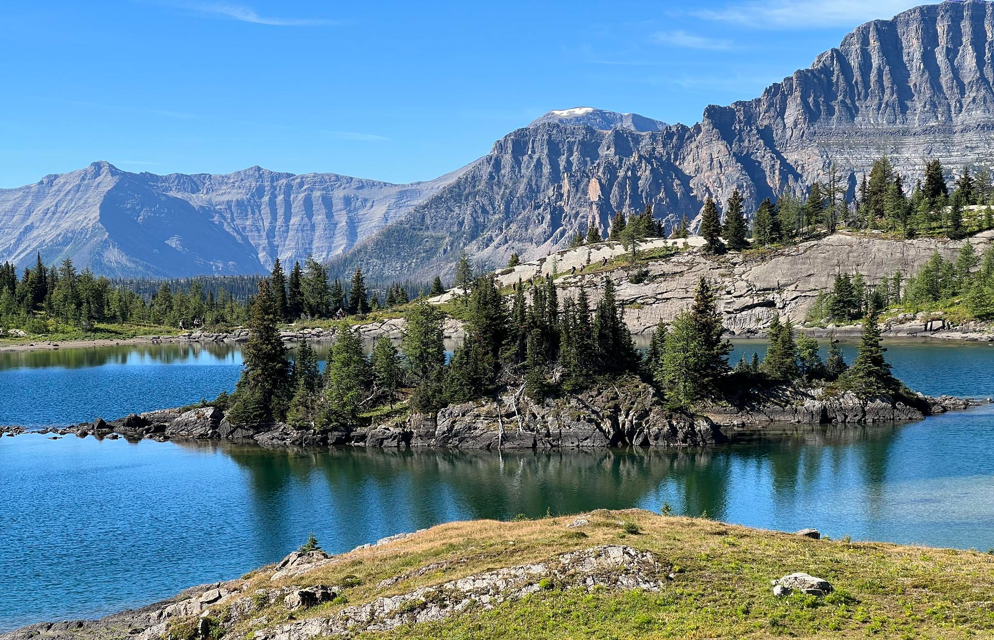
- The most popular jogging route is Running loop from Emerald Lake, a 3.3 miles (5.3 km) trail that takes about 36 minutes to complete. This moderate route offers views of Emerald Lake and the surrounding mountains.
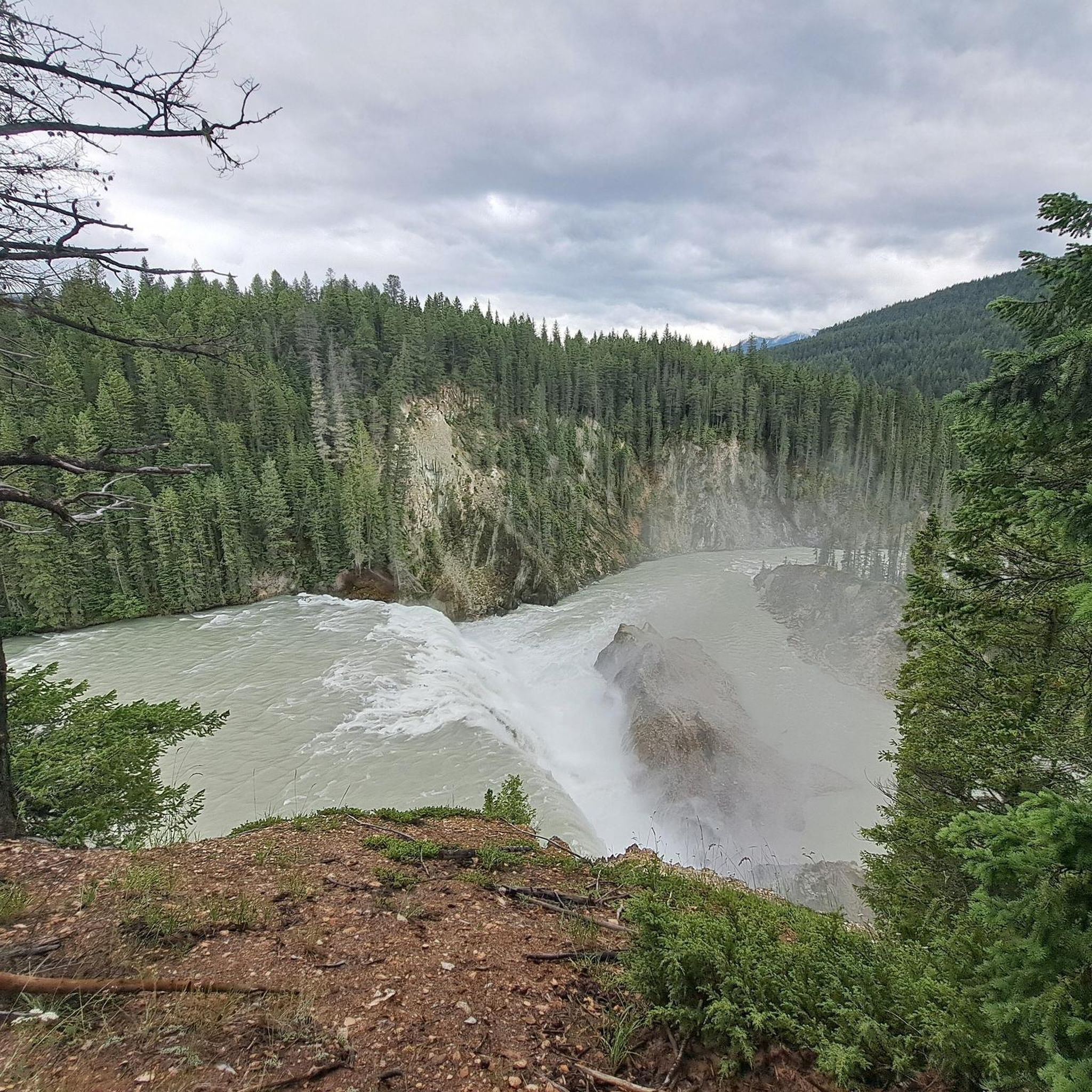
- Another top favourite among local runners is Wapta Falls loop from Wapta Falls Parking, an easy 2.4 miles (3.9 km) path. This route leads through verdant forests to the impressive Wapta Falls.
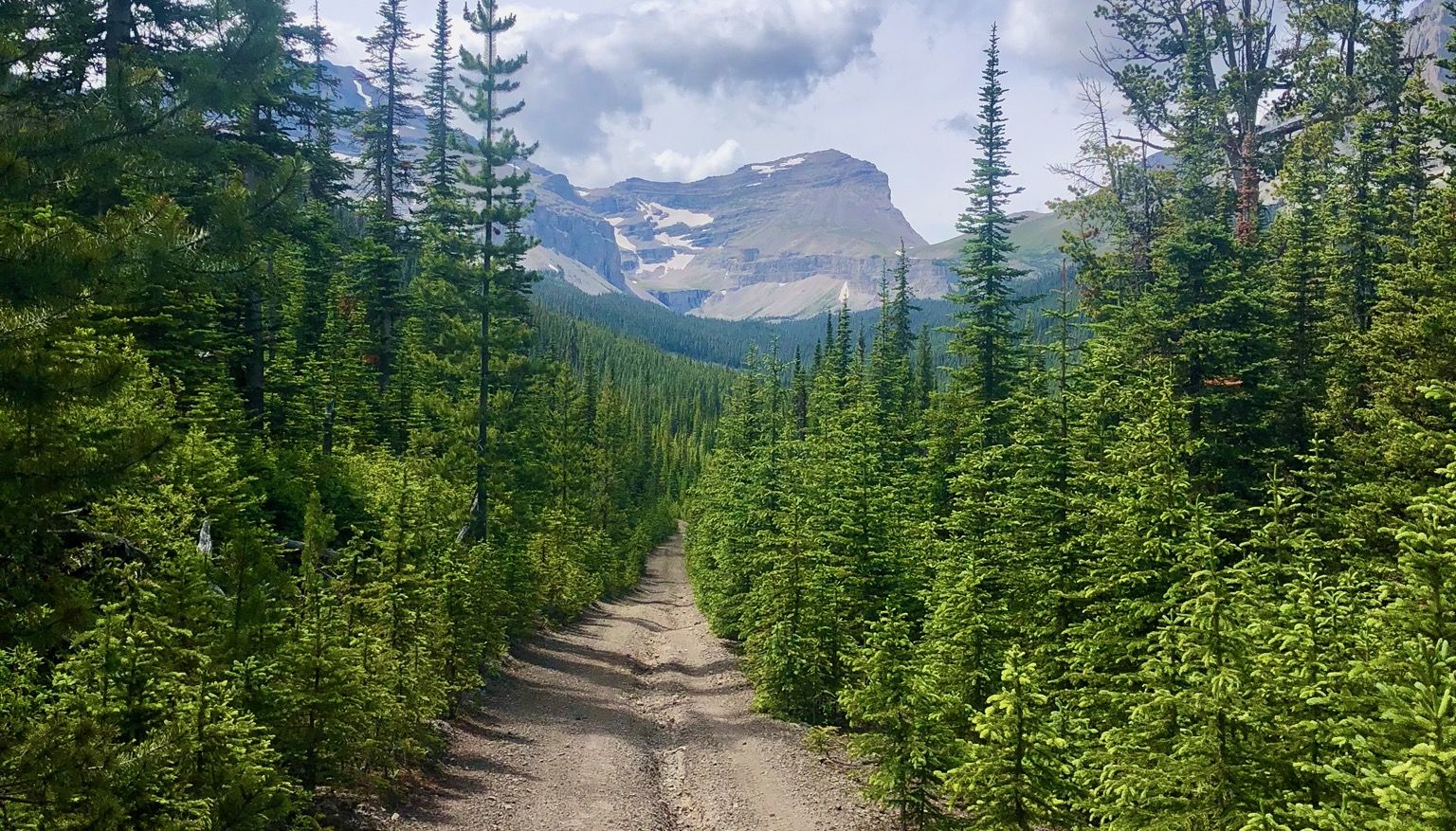
- Local runners also love the The Secretary-Treasurer – Laughing Falls loop from Takakkaw Falls, a 12.7 miles (20.4 km) trail leading through mountain valleys and past waterfalls, often completed in about 2 hours 40 minutes.
- Jogging in Yoho National Park is defined by glacial valleys, towering peaks, and powerful waterfalls. The network offers options for different ability levels, from easy loops to challenging multi-day runs.
- The guide includes highly-rated routes that showcase the best of the region's landscape. More than 200 runners have used komoot to explore Yoho National Park's varied terrain.
Last updated: October 14, 2026
91
runners
5.29km
00:36
40m
40m
Moderate run. Good fitness required. Mostly paved surfaces. Suitable for all skill levels.
48
runners
20.4km
02:41
790m
790m
Hard run. Very good fitness required. Mostly paved surfaces. Suitable for all skill levels.

28
runners
3.93km
00:25
40m
40m
Easy run. Great for any fitness level. Mostly paved surfaces. Suitable for all skill levels.
13
runners
45.6km
06:39
1,850m
1,850m
Hard run. Very good fitness required. Sure-footedness, sturdy shoes and alpine experience required.
8
runners
17.2km
02:25
710m
710m
Hard run. Very good fitness required. Sure-footedness, sturdy shoes and alpine experience required.
Get access to more routes and recommendations from other explorers.
Already have an account?
Our route recommendations are based on thousands of hikes, rides, and runs completed by other people on komoot.
Start today with a free account
Your next adventure awaits.



Tips from the Community

It is a wonderfully located lake in Yoho National Park. The left side of the lake is good for hiking. The right side is a bit more difficult with many muddy spots, where footbridges are currently being built to improve the situation. Sturdy footwear is highly recommended at the moment. A boat trip rounds off the hike with the great mountain views. Highly recommended.
0
0

Laughing Falls is a thundering waterfall with a mountain-energy vibe along the Little Yoho River. There are simple wooden bridges for river crossings, picnic benches, and backcountry camping, with bear bag hangs. A Parks Canada pass is required for entry, and a backcountry permit is required for camping.
0
0
Twin Falls is one of the main attractions at Yoho National Park. This twin-plunge waterfall descends 180 meters, and the second falls drops about the same distance. Fed by Twin Falls Creek, flowing from Glacier des Poilus, these two falls have a strong spray and a very scenic view.
1
0

Breathtakingly beautiful. Highly recommended.
0
0

Area: Approximately 0.5 km². Maximum Depth: Around 30 meters. Perimeter length: Approximately 5.2 km.
2
0
It was discovered in 1882 by Tom Wilson, a guide for the Canadian Pacific Railway. He was working on the construction of the railway when a group of Stoney Nakoda guided him towards the lake. He was so impressed by the color of the water that he named it Emerald Lake, in honor of its vibrant emerald green hue.
2
0

The entire hike around the lake is highly recommended and offers great views. I would recommend walking around the lake anti-clockwise so you don't have to walk with the crowds.
0
0

When we were there (unfortunately) there was water only in one of the Twin Falls. In any case spectacular.
0
0
Frequently Asked Questions
What kind of terrain can I expect on running trails in Yoho National Park?
Yoho National Park offers a diverse range of terrain for runners. You'll find trails traversing emerald forests, alongside turquoise lakes, and through glacial valleys with towering peaks. The Kicking Horse River has carved much of the landscape, influencing features like the Natural Bridge. Routes vary from relatively flat paths, like the Wapta Falls loop, to challenging ascents with significant elevation gain, such as the The Secretary-Treasurer – Laughing Falls loop.
Are there easy or beginner-friendly jogging routes in Yoho National Park?
Yes, Yoho National Park has several routes suitable for easy jogs or beginners. For instance, the Wapta Falls loop from Wapta Falls Parking is an easy 2.4-mile (3.9 km) path that leads through verdant forests to the impressive Wapta Falls. The Running loop from Emerald Lake is another moderate option, offering stunning views with minimal elevation change.
What are some scenic highlights or natural features I can see while running in Yoho National Park?
Yoho National Park is rich in natural beauty. Many running routes offer views of iconic landmarks such as the stunning turquoise waters of Emerald Lake, the powerful Takakkaw Falls (Canada's second-tallest), and the impressive Wapta Falls. You might also encounter the unique Natural Bridge on the Kicking Horse River, a geological marvel carved by water.
Are there any circular running routes in Yoho National Park?
Yes, several excellent circular routes are available for jogging. A popular choice is the Running loop from Emerald Lake, which is 3.3 miles (5.3 km) long and offers beautiful lake and mountain views. For a longer, more challenging option, consider The Secretary-Treasurer – Laughing Falls loop from Takakkaw Falls, a 12.7-mile (20.4 km) trail that takes you through mountain valleys and past waterfalls.
What is the best time of year to go running in Yoho National Park?
The best time for running in Yoho National Park is typically from late spring to early autumn (June to September) when trails are clear of snow and weather conditions are generally mild. During these months, you'll experience lush emerald forests, wildflowers, and accessible trails. Winter running is possible but requires specialized gear and awareness of snow and ice conditions.
Are dogs allowed on the running trails in Yoho National Park?
Yoho National Park is generally dog-friendly, but specific regulations apply. Dogs must be kept on a leash at all times to protect wildlife and ensure the safety of other visitors. Always check for any specific trail restrictions, as some sensitive areas or wildlife corridors may not permit dogs. Remember to pack out all pet waste.
Are there any challenging or long-distance running options for experienced trail runners?
Absolutely. For experienced trail runners seeking a challenge, Yoho National Park offers several difficult routes. The The Secretary-Treasurer – Laughing Falls loop from Takakkaw Falls is a demanding 12.7-mile (20.4 km) route with significant elevation gain. Another challenging option is the Peaceful Pond – Yoho Lake loop from Emerald Lake, which covers over 20 km and features substantial climbs.
Do I need a permit or park pass to go running in Yoho National Park?
Yes, a valid Parks Canada Discovery Pass or a daily park pass is required for entry into Yoho National Park, which covers activities like running and hiking. These passes can be purchased at park gates or online. It's essential to have your pass displayed in your vehicle or on your person while in the park.
What amenities are available near the running routes, such as parking or public transport?
Many popular trailheads in Yoho National Park, such as those for Emerald Lake and Wapta Falls, have designated parking areas. Public transport options within the park are limited, so driving is often the most convenient way to access trailheads. The nearby town of Field, British Columbia, offers some basic services, including accommodation and dining options.
What kind of wildlife might I encounter while jogging in Yoho National Park?
Yoho National Park is home to diverse wildlife, including elk, deer, bighorn sheep, and various bird species. While less common, you might also spot larger mammals like bears (both grizzly and black), cougars, or wolves. Always be aware of your surroundings, carry bear spray, and know how to react to wildlife encounters. Making noise while running can help prevent surprise encounters.
Are there any running routes that feature waterfalls?
Yes, Yoho National Park is famous for its powerful waterfalls. The Wapta Falls loop from Wapta Falls Parking leads directly to the impressive Wapta Falls. Additionally, the The Secretary-Treasurer – Laughing Falls loop from Takakkaw Falls takes you past multiple cascades, including Laughing Falls, and offers views of the majestic Takakkaw Falls at its starting point.
How many running routes are available in Yoho National Park?
There are over 10 running routes detailed in this guide for Yoho National Park, catering to various fitness levels. In total, more than 200 runners have used komoot to explore the park's diverse terrain, indicating a wide range of options beyond those specifically highlighted here.
Most popular attractions in Yoho National Park

Get inspired with the komoot mobile app


Explore more
Browse the best Running Trails & Routes in other regions.
