The best running trails in Réserve Biologique Dirigée De Pinata
5.0
(2)
241
runners
22
runs
Jogging in Réserve Biologique Dirigée De Pinata offers a diverse natural environment within the Aude department of the Occitanie region. Situated in the Montnaie-Gravas national forest, the reserve spans 296.36 hectares with altitudes ranging from 1500 to 1900 meters. The terrain features a high-naturalness forest, rich wetlands, and peat bogs, all set upon granitic rock formations. This creates varied landscapes for running, from sandy soils to constantly waterlogged areas.
Best jogging routes in Réserve Biologique Dirigée De Pinata
- The most…
Last updated: July 10, 2026
13
runners
17.1km
02:37
930m
930m
Hard run. Very good fitness required. Mostly paved surfaces. Suitable for all skill levels.
9
runners
16.0km
01:58
530m
530m
Hard run. Very good fitness required. Mostly paved surfaces. Suitable for all skill levels.

Sign up for free
5
runners
17.7km
02:49
1,030m
1,030m
Hard run. Very good fitness required. Mostly paved surfaces. Suitable for all skill levels.
53
runners
7.17km
00:52
80m
80m
Moderate run. Good fitness required. Mostly paved surfaces. Suitable for all skill levels.
13
runners
21.6km
03:18
1,090m
1,080m
Hard run. Very good fitness required. Mostly paved surfaces. Suitable for all skill levels.
Get access to more routes and recommendations from other explorers.
Sign up for free
Already have an account?
Our route recommendations are based on thousands of hikes, rides, and runs completed by other people on komoot.
Start today with a free account
Your next adventure awaits.
Login or Signup
Popular around Réserve Biologique Dirigée De Pinata



Tips from the Community

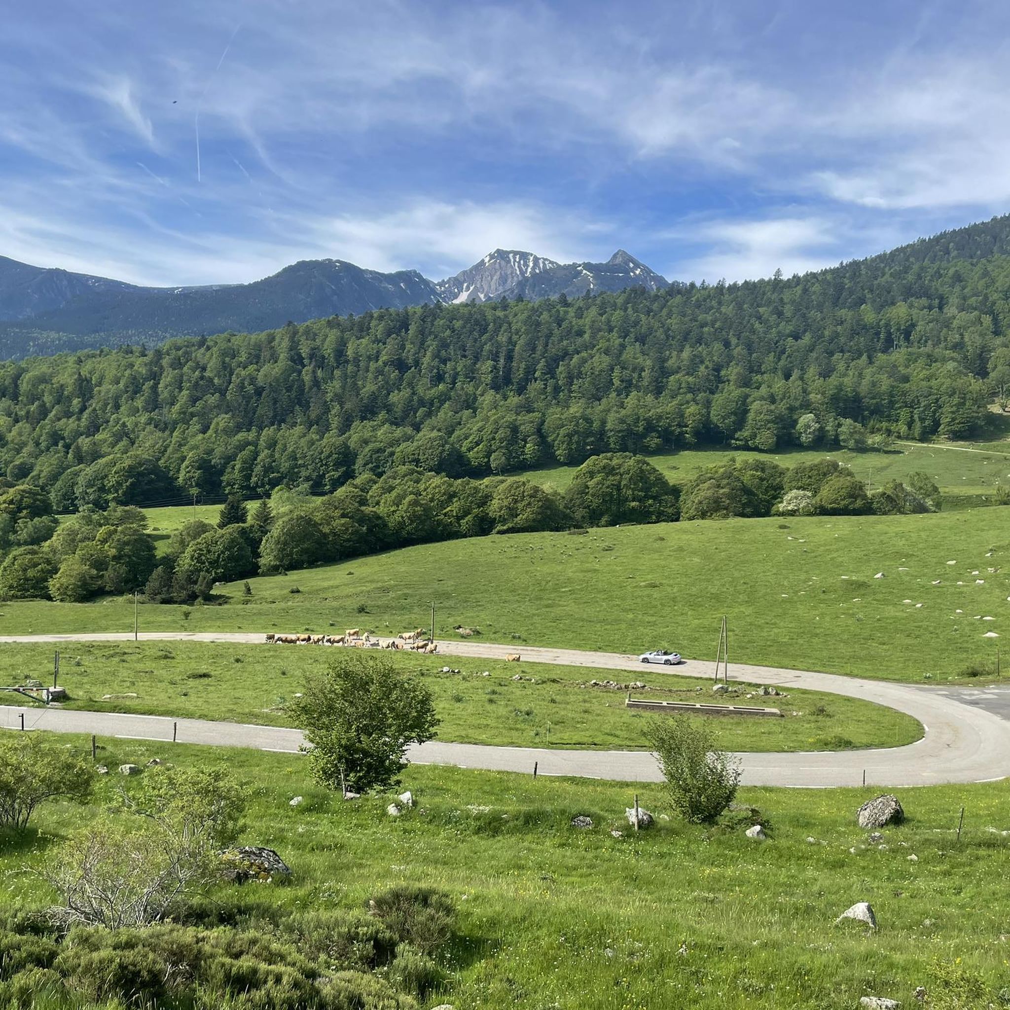
From here you can enjoy a wide panorama of the Catalan Pyrenees. To the left, towards the Carcanet biological reserve. To the right and straight ahead, towards the summits with the pic de Madrès, the highest mountain in the area.
0
0
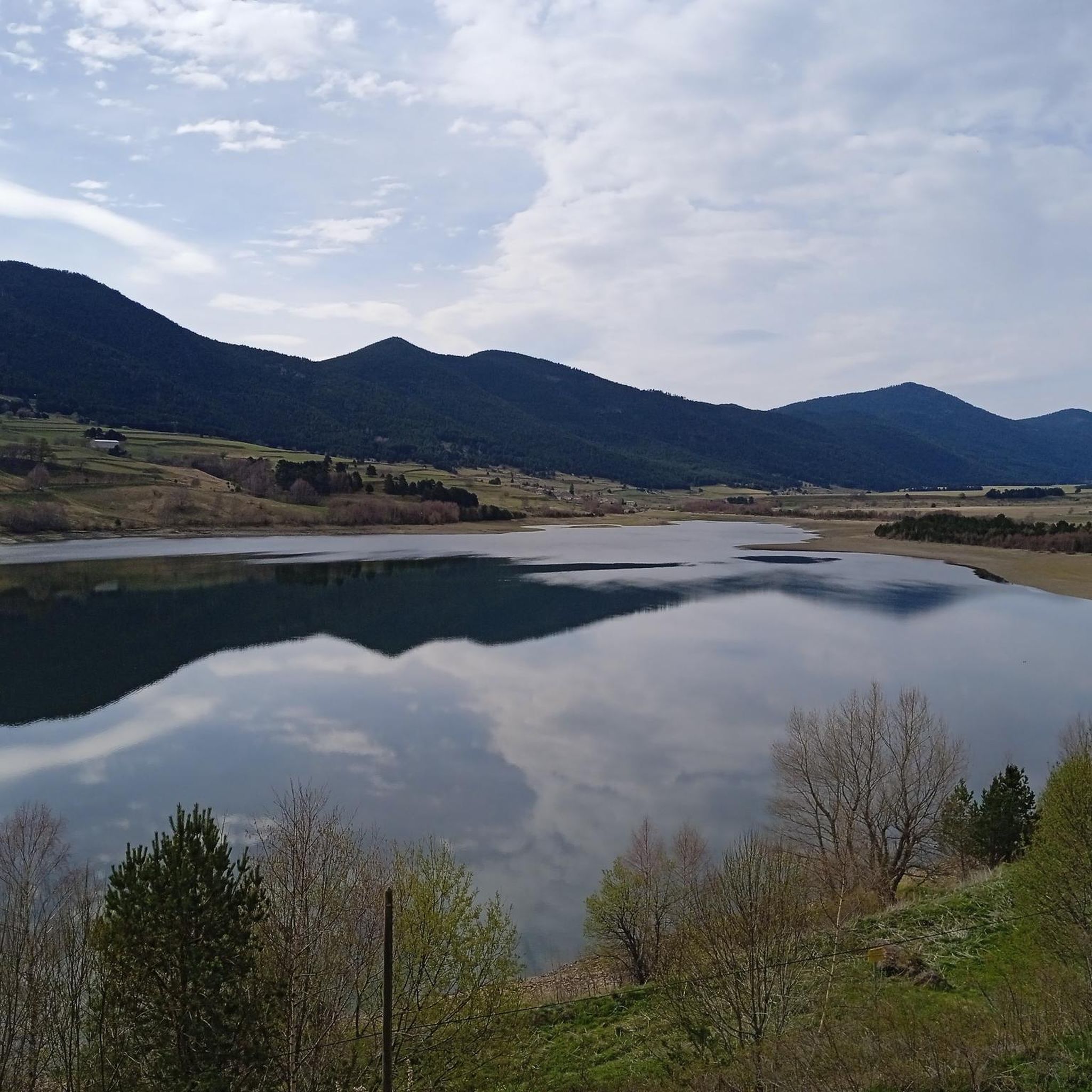
The Puyvalador dam is 160 meters long and 39 meters high. This concrete structure is used to regulate the waters of the Aude river to produce electricity. From the dam, the view is exceptional.
0
0

The Oller refuge (not guarded) is located halfway up the Pic de Madrès from Odeillo. From this point, you will have privileged views over places such as Puyvalador and its lake, the old station and the Pic de Ginèvre area, the Llissa Cremada, etc. As for the shelter, it is not very big but it is very pleasant and well equipped. It has bunk beds for four people, a stove and firewood, some books, maps...
0
0
The Oller refuge (not guarded) is located halfway up the Pic de Madrès from Odeillo. From this point, you will have privileged views over places such as Puyvalador and its lake, the old station and the Pic de Ginèvre area, the Llissa Cremada, etc. As for the shelter, it is not very big but it is very pleasant and well equipped. It has bunk beds for four people, a stove and firewood, some books, maps...
1
0

above the forest of Lisser you will find a splendid starting point for walks
0
0

Beautiful Port from Campome. Continuous climb and with excellent views.
0
0

Good morning all ! small unguarded refuge affordable to all! I trust you to keep it in good condition! 😉
0
0

Beautiful climb with beautiful trees!
1
0
Frequently Asked Questions
How many running routes are available in Réserve Biologique Dirigée De Pinata?
The Réserve Biologique Dirigée De Pinata offers a network of over 20 running routes. These trails cater to various fitness levels, with 10 moderate and 12 difficult options to explore.
What kind of terrain can I expect on the jogging trails in Réserve Biologique Dirigée De Pinata?
Runners in Réserve Biologique Dirigée De Pinata will encounter diverse terrain. The reserve features a high-naturalness forest, rich wetlands, and peat bogs. The geological foundation consists of granitic rocks, leading to acidic, sandy soils that can range from dry to constantly waterlogged in certain areas, providing a varied and engaging running experience.
Are there any notable natural features or viewpoints along the running routes?
Yes, the reserve is rich in natural beauty. You can expect to run through extensive high-naturalness forests and discover unique wetlands and peat bogs, which cover nearly 20% of the surface above 1600 meters. While specific viewpoints aren't detailed, the altitude range of 1500 to 1900 meters suggests opportunities for scenic vistas across the Montnaie-Gravas national forest.
What is the overall difficulty level of running trails in Réserve Biologique Dirigée De Pinata?
The running trails in Réserve Biologique Dirigée De Pinata offer a range of difficulties. You'll find 10 moderate routes, suitable for those looking for a less strenuous run, and 12 difficult routes, which often involve significant elevation gain and longer distances, perfect for experienced runners seeking a challenge.
Are there any circular running routes in the reserve?
Yes, many of the running routes in Réserve Biologique Dirigée De Pinata are circular. For example, you can try the challenging Pastoral Zone loop from Puyvalador, which covers nearly 16 km, or the demanding Refuge d'Oller loop from Puyvalador, an 11-mile trail with over 1000 meters of ascent.
What do other runners say about their experience in Réserve Biologique Dirigée De Pinata?
The running routes in Réserve Biologique Dirigée De Pinata are highly regarded by the komoot community, boasting an average rating of 5.0 stars from over 2 reviews. More than 220 runners have explored the varied terrain, often praising the immersive natural experience within the protected, biodiverse environment.
Is Réserve Biologique Dirigée De Pinata suitable for family-friendly jogging?
While the reserve offers a range of difficulties, including moderate routes, specific family-friendly designations are not provided. However, the Pont d'espousouille – Puyvalador Dam loop from Réal is a moderate 4.5-mile path with gentle elevation changes, which might be a suitable option for families looking for a less strenuous outing.
Can I bring my dog on the running trails in Réserve Biologique Dirigée De Pinata?
The Réserve Biologique Dirigée De Pinata is a protected biological reserve. While many natural areas allow dogs on leash, it's always best to check the specific regulations of the reserve or local authorities regarding pets to ensure compliance with conservation efforts.
What is the best time of year to go running in Réserve Biologique Dirigée De Pinata?
Given the reserve's altitude, ranging from 1500 to 1900 meters, seasonal considerations are important. Spring and autumn offer pleasant temperatures and vibrant scenery. Summer provides warmer conditions, while winter running may involve snow and colder temperatures, requiring appropriate gear and caution. Always check local weather conditions before heading out.
Are there opportunities for wildlife spotting while running?
Yes, the Réserve Biologique Dirigée De Pinata is a significant biodiversity hotspot and part of the Natura 2000 "Madres-Coronat" site. It was specifically created to protect the Capercaillie (Grand Tétras). While running, you might also spot other nesting birds like the Ring Ouzel and Tengmalm's Owl, enhancing your connection with nature.
How long are the running trails in Réserve Biologique Dirigée De Pinata?
The running trails in the reserve vary significantly in length. You can find shorter, moderate routes like the Pont d'espousouille – Puyvalador Dam loop from Réal at 4.5 miles (7.2 km), up to longer, more challenging options such as the Pastoral Zone loop from Réal, which extends over 21 km.
Are there any easy running routes for beginners in the reserve?
While there are no routes explicitly classified as 'easy' in the provided data, the reserve does offer 10 'moderate' routes. These would be the most suitable for beginners or those looking for a less demanding run. The Pont d'espousouille – Puyvalador Dam loop from Réal is a good example of a moderate option with gentle elevation changes.
Most popular routes in Réserve Biologique Dirigée De Pinata

Get inspired with the komoot mobile app


Explore more
Browse the best Running Trails & Routes in other regions.
