Ochranné Pásmo I. Stupně Vodního Díla Morávka
Ochranné Pásmo I. Stupně Vodního Díla Morávka
The best mountain hikes in Ochranné Pásmo I. Stupně Vodního Díla Morávka
5.0
(4)
57
hikers
5
hikes
Mountaineering in Ochranné Pásmo I. Stupně Vodního Díla Morávka primarily occurs in the broader Beskydy mountains, which surround the protected waterworks area. The region is characterized by a mountainous environment with elevations reaching above 900 meters, featuring wild landscapes, dense forests, and the Morávka River with its rapids and gravel bars. While the immediate protection zone of the Morávka Waterworks has restricted access, the surrounding areas offer varied terrain suitable for mountaineering, including ascents to prominent peaks and trails through…
Last updated: October 13, 2026
3
hikers
11.8km
03:51
500m
500m
Moderate mountaineering route. Good fitness required. Easily-accessible paths. Suitable for all skill levels.
9
hikers
16.4km
05:43
880m
880m
Hard mountaineering route. Very good fitness required. Easily-accessible paths. Suitable for all skill levels.

5.0
(1)
9
hikers
11.1km
04:21
810m
810m
Moderate mountaineering route. Good fitness required. Easily-accessible paths. Suitable for all skill levels.
5.0
(1)
4
hikers
17.3km
05:21
670m
670m
Hard mountaineering route. Very good fitness required. Easily-accessible paths. Suitable for all skill levels.
3
hikers
14.1km
04:37
620m
620m
Moderate mountaineering route. Good fitness required. Easily-accessible paths. Suitable for all skill levels.
Our route recommendations are based on thousands of hikes, rides, and runs completed by other people on komoot.
Start today with a free account
Your next adventure awaits.
Popular around Ochranné Pásmo I. Stupně Vodního Díla Morávka
Tips from the Community

The summit of Lysá hora (1324 m a.s.l.) is located in the Moravian-Silesian Beskids mountain range. Lysá hora (1324 m a.s.l.) is the highest peak of the Moravian-Silesian Beskids and the third most prominent Czech mountain.
2
0
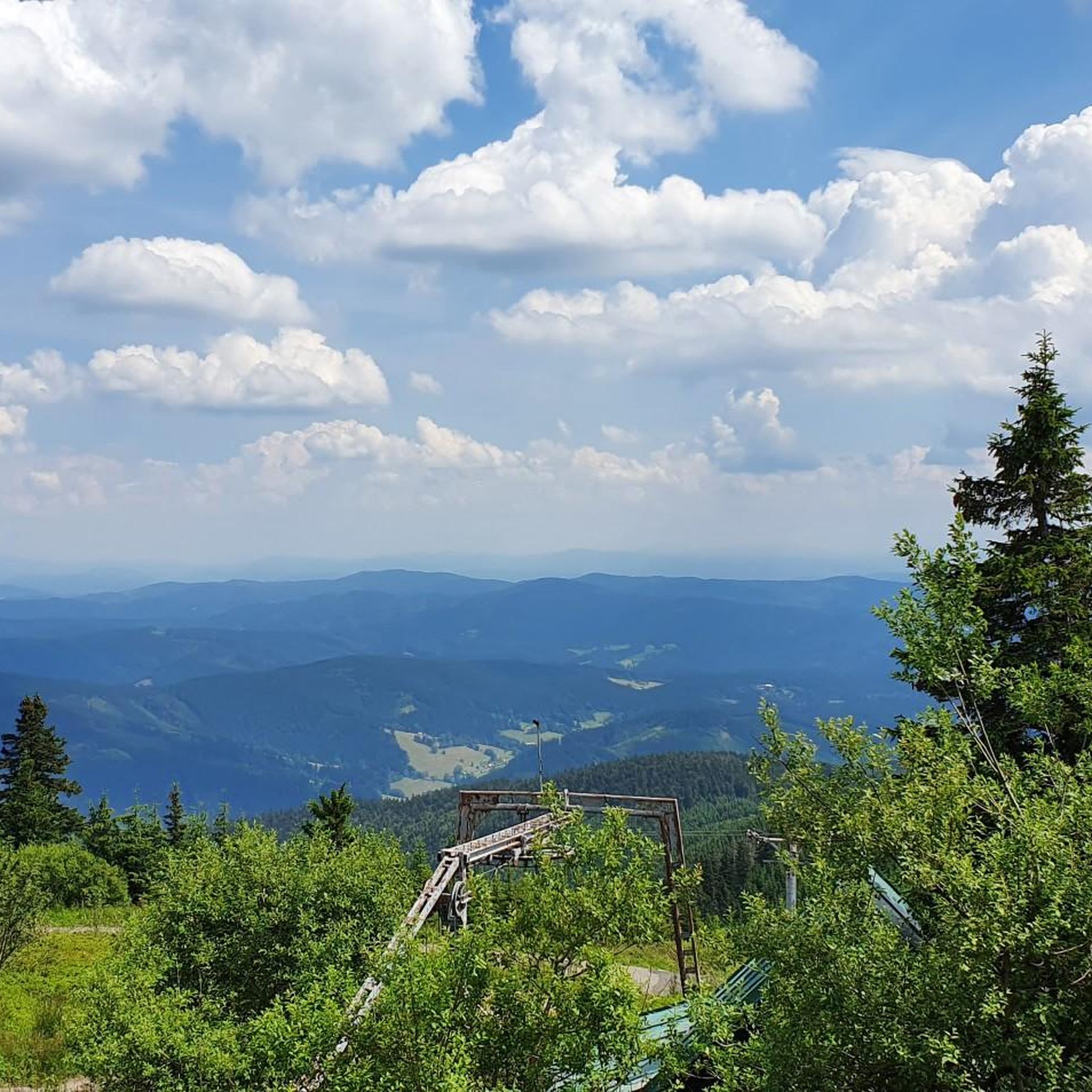
Lysá hora (German Kahlberg; 1324 m a.s.l., previously reported height 1323 m a.s.l.) is the highest mountain in the Moravian-Silesian Beskids and Těšínsko region. It lies on the border of the municipalities of Krásná, Malenovice, Ostravice, and Staré Hamry. This peak was also the highest point of the Protectorate of Bohemia and Moravia between 1939–1945 (although it lies in Silesia). On the bare (lysá) summit, which is accessible by a road from Krásná, there is a characteristic telecommunication transmitter, a meteorological station, and several mountain huts.
2
0

Lysá hora is the highest point of the Moravian-Silesian Beskydy Mountains (1324 metres). The summit part, the so-called Gigula, is located above the tree line.
1
0

Yes, it is worth approaching from this side as well
0
0
Beautiful place. Iconic mountain of our neighbors. Several trails from different sides. Worth it
2
0


this is a gorgeous alpine hut with charging stations for bikes :) thank you KTM
0
0

Frequently Asked Questions
Are there any restrictions for mountaineering in Ochranné Pásmo I. Stupně Vodního Díla Morávka?
Yes, the immediate area of the Morávka Waterworks is a first-degree protection zone with restricted access for unauthorized persons. Mountaineering is generally conducted in the broader Beskydy mountains surrounding this zone, in appropriate, non-restricted areas. Always adhere to local signage and regulations.
What kind of difficulty levels can I expect for mountaineering routes in this region?
The mountaineering routes in the broader Ochranné Pásmo I. Stupně Vodního Díla Morávka region offer a mix of challenges. You'll find both moderate and difficult trails. For example, Lipí [Morávka] – Chata Ráda loop from Morávka is a moderate route, while the ascent to Lysá Hora summit (1,324 m) loop from Krásná is considered difficult.
Are there any circular mountaineering routes available?
Yes, several routes are designed as loops, allowing you to start and end at the same point. Examples include the Lipí [Morávka] – Chata Ráda loop from Morávka and the Javorový – Malý Javorový loop from Řeka.
What are some challenging mountaineering routes in the region?
For those seeking a challenge, the Lysá Hora summit (1,324 m) loop from Krásná is a difficult 10.2-mile (16.5 km) trail featuring a significant ascent. Another demanding option is the Chata Ráda loop from Řeka, which covers 10.7 miles (17.3 km) with considerable elevation gain.
What do other mountaineers enjoy the most about mountaineering in Ochranné Pásmo I. Stupně Vodního Díla Morávka?
The area is highly rated by the komoot community, with an average score of 5.0 stars. Mountaineers often praise the varied terrain, which includes forested slopes, river valleys, and challenging ascents to local peaks, offering expansive views of the Beskydy mountains.
Can I bring my dog on the mountaineering trails?
While specific regulations for dogs on every trail are not provided, the broader Beskydy mountain range is generally dog-friendly. However, always keep your dog on a leash, especially in protected areas, near wildlife, or on popular trails. Be mindful of any specific local restrictions or signage.
Are there any routes with good viewpoints or scenic overlooks?
Many routes in the Beskydy mountains offer excellent panoramic views. For instance, the Lysá Hora summit (1,324 m) loop from Krásná provides expansive views from the summit. The broader region around the Morávka Dam also offers scenic hikes with views of the reservoir and surrounding hills from designated areas.
What is the best season for mountaineering in this area?
The Beskydy mountains, where these routes are located, are generally best explored from spring through autumn. During these seasons, the weather is more stable, and trails are typically clear of snow and ice. Winter mountaineering is possible but requires specialized equipment and experience due to snow, ice, and colder conditions.
Are there any family-friendly mountaineering options?
While the listed routes are moderate to difficult, the broader Beskydy region offers a variety of trails. For families, look for shorter, less steep sections or consider the marked cycle path and nature trail 'Prameny Morávky' (Springs of Morávka) which offer easier exploration in the vicinity of the reservoir, outside the strict protection zone.
Where can I find parking for mountaineering routes?
Parking is typically available at the starting points of many trails in the Beskydy mountains. For routes like those starting from Krásná or Řeka, there are usually designated parking areas. It's advisable to check specific route descriptions or local maps for precise parking locations before your trip.
Are there any cafes or places to eat near the mountaineering routes?
Yes, in the broader Beskydy mountain region, you can often find mountain huts (chata) or small cafes along popular trails or in nearby villages. For example, the Lipí [Morávka] – Chata Ráda loop from Morávka passes by Chata Ráda, which may offer refreshments. Always check opening hours, especially outside peak season.
What are the typical elevations for mountaineering in this region?
The mountaineering routes in the Beskydy mountains surrounding the Morávka Waterworks involve significant elevation changes. The Morávka River itself originates at 861 meters (2,825 feet), and routes can ascend to prominent peaks like Lysá Hora at 1,324 meters. You can expect climbs of several hundred meters on most trails, such as the Malchor – Chata Emil Zátopek - Maraton loop from Krásná with over 800 meters of ascent.
Most popular routes in Ochranné Pásmo I. Stupně Vodního Díla Morávka

Get inspired with the komoot mobile app


