The best running trails in Park Krajobrazowy "Stawki"
3.0
(1)
66
runners
6
runs
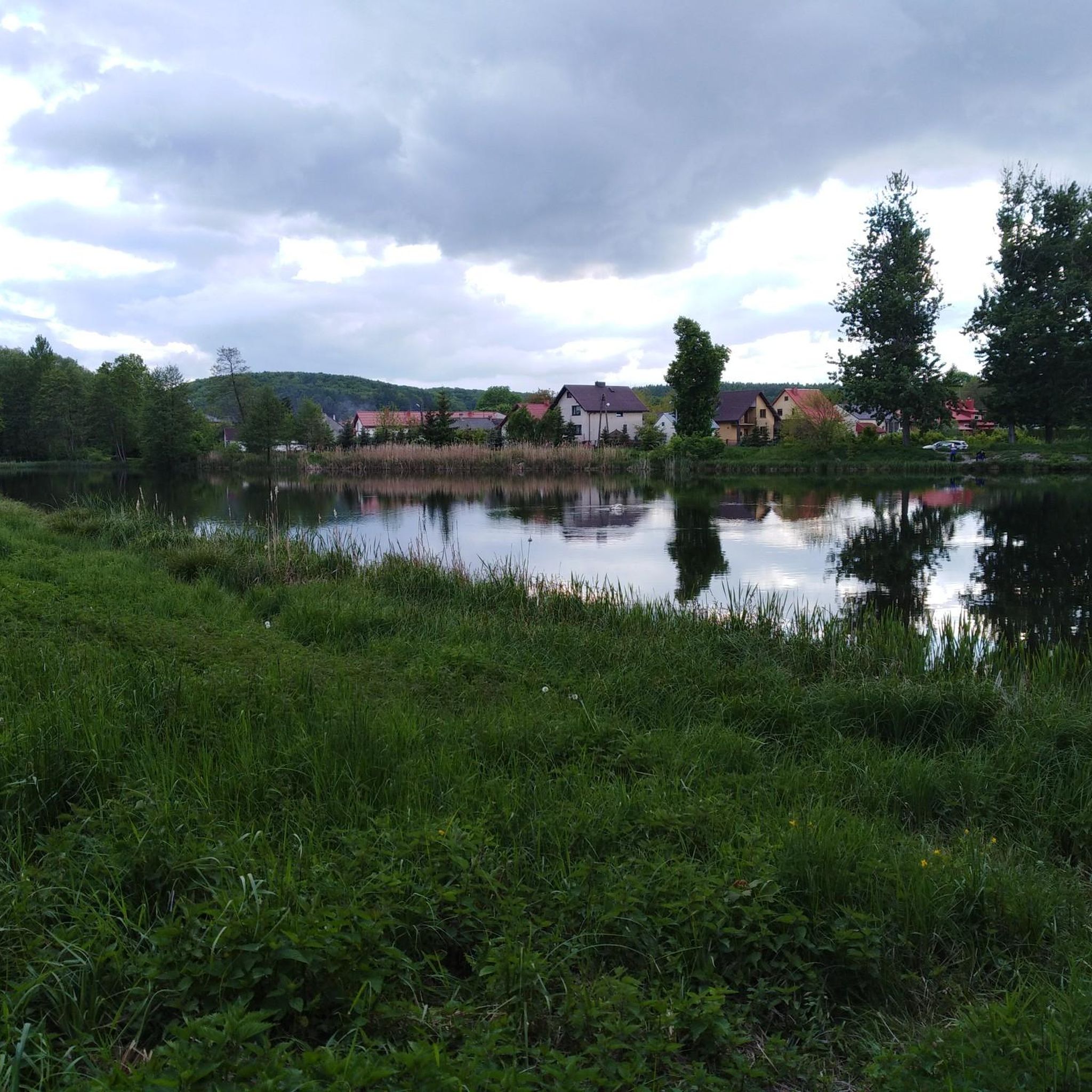
Jogging in Park Krajobrazowy "Stawki" offers routes across largely flat terrain, making it suitable for various fitness levels. The region is characterized by diverse forest types, including moist alder, hornbeam, and riparian forests, particularly in the eastern parts. Numerous streams, ponds, and swamps within the Wiercica river basin contribute to a dynamic environment. The park also features peat bogs, mid-forest meadows, and fish ponds, providing varied scenery for runners.
Best jogging routes in Park Krajobrazowy "Stawki"
- The most popular jogging…
Last updated: July 10, 2026
25
runners
63.1km
07:22
700m
700m
Hard run. Very good fitness required. Mostly paved surfaces. Suitable for all skill levels.
14
runners
14.7km
01:39
150m
150m
Moderate run. Good fitness required. Mostly paved surfaces. Suitable for all skill levels.

Sign up for free
3
runners
6.50km
00:41
60m
60m
Moderate run. Good fitness required. Mostly paved surfaces. Suitable for all skill levels.
3.0
(1)
10
runners
17.1km
02:02
220m
220m
Hard run. Very good fitness required. Mostly accessible paths. Some sure footedness required.
3
runners
5.70km
00:38
50m
50m
Moderate run. Good fitness required. Mostly paved surfaces. Suitable for all skill levels.
Our route recommendations are based on thousands of hikes, rides, and runs completed by other people on komoot.
Start today with a free account
Your next adventure awaits.
Login or Signup

Tips from the Community

The Ostrężnik Castle was completely destroyed, and more precise information about it is missing. The castle is located in the forest on a hill and borders a rock, with which it was connected by passages. The mysterious and rather gloomy ruin of the fortress, probably dating from the 14th century, is one of the least known defensive structures of the Kraków-Częstochowa Upland. The outlines of the walls are preserved in very poor condition. The layout of the castle, divided into upper, lower, and outer bailey, is also barely recognizable today.
3
0

As we drive up Lipówka Mountain, we will see a great panorama of the area along with a view of the castle. Quite a steep climb, a lot of rocks, but the views are worth the effort.
2
0
Great surroundings, good food, lots of attractions for kids in season.
2
0

This modest monument embedded in a limestone rock commemorates the place where on September 3, 1939, Major Wrzosek, commander of the 7th Infantry Division of the Kraków Army, fell during defensive battles against the German invader. Major Wrzosek was also the head of the Polish Olympic team at the Berlin Games in 1936 and the Polish champion in sports rifle shooting. His grave is located in the cemetery in Złoty Potok, at the foot of Wilcza Góra, among the soldiers who defended their homeland with him.
1
0
Bear's Grotto is a cave located in the Park Reserve, near Złoty Potok in the Kraków-Częstochowa Upland. It is about 70 meters long and consists of a large chamber with three corridors leading off. The cave was created as a result of karst processes, i.e. the dissolution of limestone by water. In the past, it served as a shelter for primeval people, and during archaeological research, bones of a mammoth, woolly rhinoceros and a cave bear were discovered there. The cave is open to tourists; it is worth taking a flashlight with you to be able to explore its interior more thoroughly. There are hiking trails nearby, including the red Trail of the Eagles' Nests and a nature trail, which make it easier to reach this interesting place.
1
0
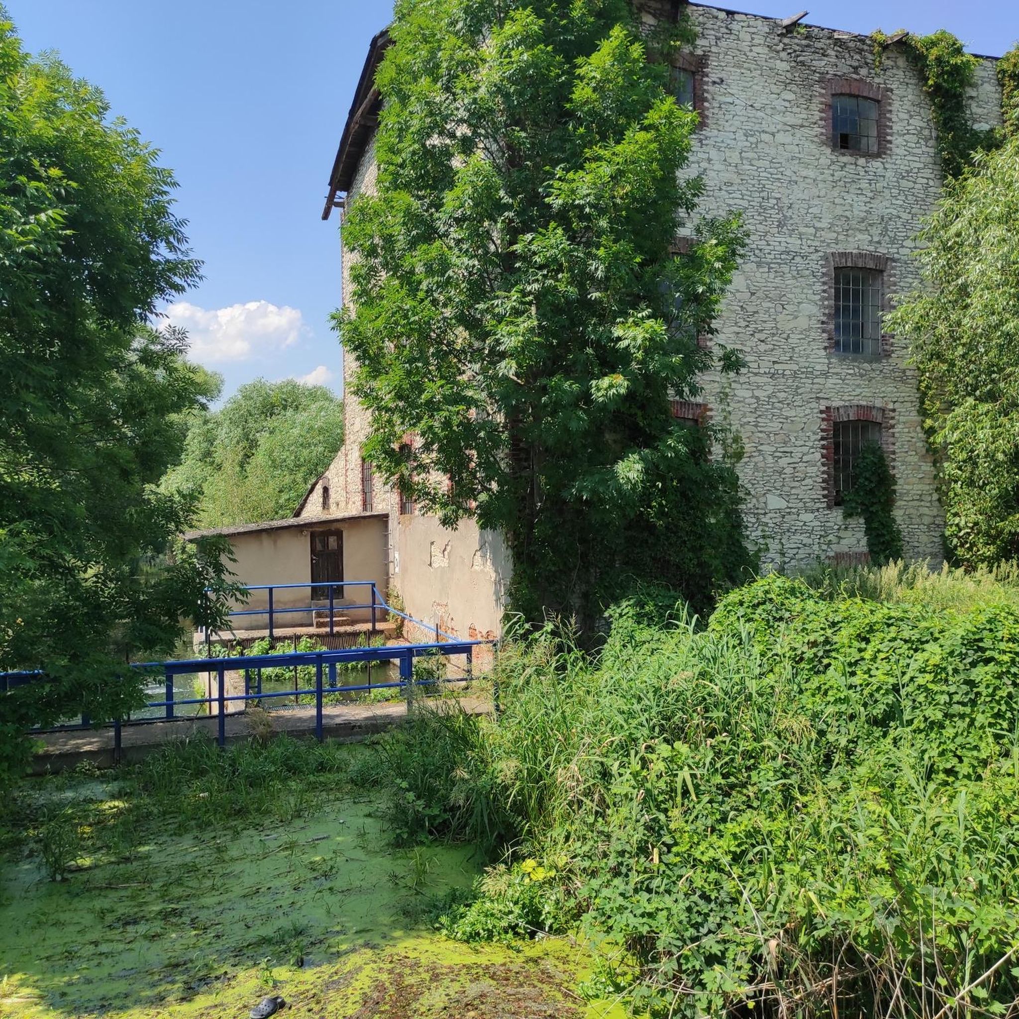
The Parkowe Reserve, located near Złoty Potok in the Kraków-Częstochowa Upland, is a picturesque protected area covering over 150 ha. It is characterized by limestone rocks, vast beech forests and charming valleys. The main attraction is the Wiercica Valley with unique rock formations such as the Twardowski Gate. The reserve also includes the Zygmunt and Elżbieta springs and the historic ruins of a mill. It is an ideal place for hiking in the natural surroundings.
0
0

An interesting place and you can take a break for photos
1
0
Frequently Asked Questions
How many running routes are available in Park Krajobrazowy "Stawki"?
There are several running routes available in Park Krajobrazowy "Stawki", with komoot featuring 8 distinct trails for you to explore. These range from moderate to difficult, offering diverse experiences for runners.
What is the typical terrain like for running in Park Krajobrazowy "Stawki"?
The park is characterized by its largely flat terrain, making it suitable for various fitness levels. You'll run through diverse forest types, including moist alder, hornbeam, and riparian forests, as well as mixed forests with oak, maple, and pine. The routes often feature numerous streams, ponds, and swamps within the Wiercica river basin, adding to the scenic beauty.
Are there running routes suitable for beginners or those looking for an easier run?
While there are no routes specifically classified as 'easy' in our selection, there are 4 moderate routes available. These include options like the Running loop from Zagórze, which is 4.0 miles (6.5 km) long, offering a less strenuous option compared to the longer, more difficult trails.
What kind of wildlife can I expect to see while jogging in the park?
Park Krajobrazowy "Stawki" is an excellent location for birdwatching, with species like the marsh harrier, black stork, and crane, as well as various woodpeckers. The humid areas also provide a habitat for amphibians and reptiles such as newts, common toads, and various lizards, especially near the numerous water features.
Are there any circular running trails in Park Krajobrazowy "Stawki"?
Yes, many of the running paths in the park are designed as loops, allowing you to start and finish at the same point. Examples include the Devil's Bridges – Amerykan Pond loop from gmina Janów, a moderate 9.1 miles (14.7 km) route, and the longer Amerykan – Staw Zielony loop from Ludwinów.
Are the running trails in Park Krajobrazowy "Stawki" dog-friendly?
Generally, dogs are welcome on trails in Polish landscape parks, provided they are kept on a leash. It's always a good idea to ensure your dog is well-behaved and to clean up after them to maintain the natural environment for everyone.
Can I reach the running routes in Park Krajobrazowy "Stawki" by public transport?
While specific public transport connections directly to every trailhead might be limited, the park is accessible via regional bus services to nearby towns and villages. From there, you might need to walk or arrange local transport to reach your desired starting point. Checking local bus schedules in advance is recommended.
Is parking available near the running routes?
Yes, parking is typically available at various entry points or near popular trailheads within or on the periphery of Park Krajobrazowy "Stawki". Look for designated parking areas in villages or near significant natural features that serve as starting points for routes.
Are there family-friendly running options in the park?
The largely flat terrain of Park Krajobrazowy "Stawki" makes many of its paths suitable for families, especially those looking for a gentle jog or walk. Shorter, moderate routes like the Running loop from Zagórze (4.0 miles / 6.5 km) are good choices for families to enjoy together.
What interesting sights or landmarks can I discover along the jogging paths?
Beyond the natural beauty of diverse forests and numerous water features like the 'Stawki' fish ponds, the park's proximity to other attractions offers additional exploration. You can find the ruins of Ostrężnik Castle, the historic Palace and Park Complex in Złoty Potok, and the 'Parkowe' nature reserve nearby, which can be combined with your running excursion.
What do other runners enjoy the most about jogging in Park Krajobrazowy "Stawki"?
The area is appreciated by the komoot community for its varied terrain and natural beauty. Runners often praise the immersive experience of moving through diverse forest ecosystems and along the numerous streams and ponds that define the park's landscape.
What is the longest running route available in the park?
For those seeking a significant challenge, the longest running route is the Amerykan – Staw Zielony loop from Lusławice. This difficult trail spans 40.2 miles (64.7 km) and offers an extensive exploration of the park's natural features.
Most popular routes in Park Krajobrazowy "Stawki"

Get inspired with the komoot mobile app


Explore more
Browse the best Running Trails & Routes in other regions.
