The best walks and hikes in Beaufort East Woodlands
4.3
(25)
186
hikers
16
hikes
Hiking in Beaufort East Woodlands offers a diverse environment with a unique blend of natural beauty and historical industrial landscapes. The area features a mosaic of habitats, including acid grasslands, hay meadows, wet heath mire, and open water areas around the Beaufort Hill Ponds. Situated at approximately 1300-1350 feet above sea level, it provides expansive upland views and lies at the heads of two steep-sided valleys. Remnants of the late 18th and 19th-century coal and iron industries, such as quarries…
Last updated: July 17, 2026
1
hikers
5.12km
01:27
110m
110m
Easy hike. Great for any fitness level. Easily-accessible paths. Suitable for all skill levels.
4.8
(5)
46
hikers
6.03km
01:38
90m
90m
Hike an easy 3.7-mile trail in Rosewall Creek Provincial Park to discover the beautiful Rosewall Creek Falls through a lush forest.

Sign up for free
3.7
(3)
23
hikers
1.99km
00:39
100m
100m
Easy hike. Great for any fitness level. Easily-accessible paths. Suitable for all skill levels.
5.0
(3)
21
hikers
9.71km
02:36
110m
110m
Moderate hike. Good fitness required. Easily-accessible paths. Suitable for all skill levels.
4.19km
01:06
40m
40m
Easy hike. Great for any fitness level. Easily-accessible paths. Suitable for all skill levels.
Get access to more routes and recommendations from other explorers.
Sign up for free
Already have an account?
Our route recommendations are based on thousands of hikes, rides, and runs completed by other people on komoot.
Start today with a free account
Your next adventure awaits.
Login or Signup
Popular around Beaufort East Woodlands
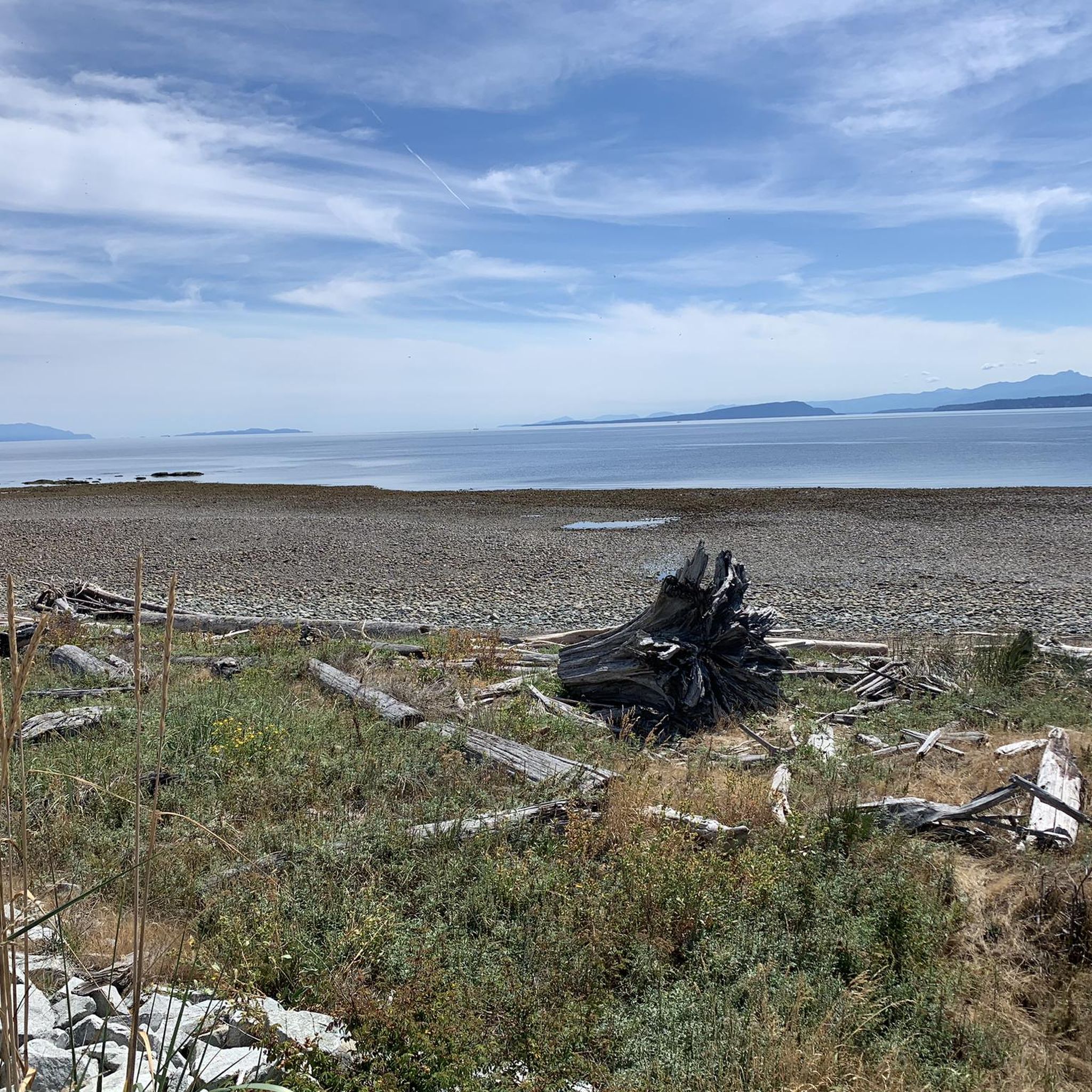
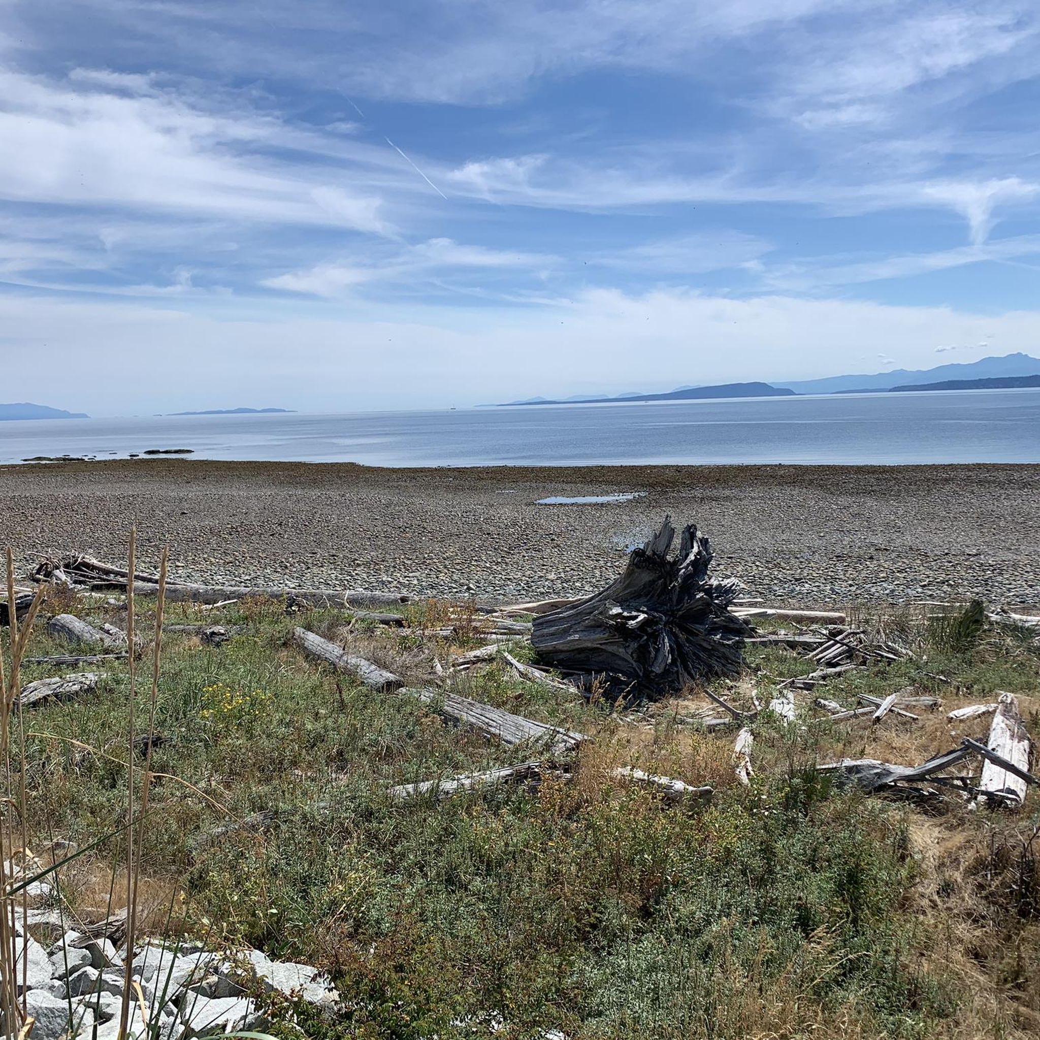
Tips from the Community

The Beauford East Woodlands parking lot is a dirt parking area without restrooms and without water fountains, so come prepared. There's plenty of parking in this dirt area and nice turnaround spots for larger vehicles.
0
0
Beauford East Woodlands is thickly forested by Douglas-fir, western red cedar, and western hemlock. The trees are an impressive second growth forest. There is a network of forest service trails weaving throughout the forests, with occasional lookout points to Deep Bay. The area is quiet and not crowded, a peaceful getaway into nature.
0
0
McNaughton Creek Forest Service Road is a low-key forested dirt road. It's wide and shaded, great for mountain biking or walking side by side with a hiking buddy. The gentle climb and low elevation is great for being able to keep up a conversation.
0
0
The Deep Bay Community Trail passes through coastal forests with moss-covered ground. Be careful when crossing small creeks and crossing over the railroad tracks. After rain the ground becomes muddy and slick, and in some notoriously muddy areas there are some flat wooden boards laid over it. The boards that have been on the trail for a few years are moss-covered and can also become slick, so trekking poles are advised after rain.
0
0
Deep Bay Marine Field Station is an educational centre popular with school field trips. Sitting right on the water's edge, this centre has a touch pool, wet and dry labs, and two marine vessels. There are also 11 hectares of shellfish farms right off the coast.
0
0
Deep Bay Marina is home to a dock, a boat launch, and the Ship and Shore Restaurant & Marine Fuelling Station. Deep Bay got its name from its deep, steeply dropping coastal shores but was once named Hare Bay. The name was changed to avoid confusion with other Hare Bays.
0
0

Rosewall Creek runs parallel to the entire trail, but here you get some particularly nice views of the creek, making for a very peaceful hike. In fall this creek is a coho salmon spawning stream, attracting waterfowl and making great for watching wildlife.
0
0
Rosewall Creek Provincial Park is a small day-use park with a short trail that runs through the forest along Rosewall Creek. Big-leaf maple and conifer stands provide pleasant shade, making this a good stop for a quiet nature walk or creekside break on Vancouver Island. There is roadside parking and pit toilets near the trailhead and picnic areas overlooking the water,
0
0
Frequently Asked Questions
How many hiking trails are available in Beaufort East Woodlands?
There are over 10 hiking routes in Beaufort East Woodlands, offering a variety of experiences. Most of these, 8 to be exact, are classified as easy, with 3 moderate options for those seeking a bit more challenge. There are no difficult routes listed, making the area accessible for many.
What kind of landscapes can I expect to see while hiking in Beaufort East Woodlands?
Hikers in Beaufort East Woodlands will encounter a diverse mosaic of habitats, including acid grasslands, hay meadows, wet heath mire, swamp, and open water areas around the Beaufort Hill Ponds. The area is primarily upland, offering expansive views, and lies at the heads of two steep-sided valleys, following the Ebbw and Ebbw Fach rivers. You'll also find remnants of the late 18th and 19th-century coal and iron industries, such as quarries and distinctive 'finger-spoil' heaps, adding a unique historical dimension to the natural scenery.
Are there any easy, family-friendly hikes in Beaufort East Woodlands?
Yes, Beaufort East Woodlands is well-suited for family-friendly hikes, with 8 easy routes available. An excellent option is the Horne Lake Caves loop from Bowen Bay, which is just under 2 km and can be completed in about 40 minutes, perfect for younger hikers or a leisurely stroll.
Are there any circular hiking routes in the area?
Yes, you can find circular routes in Beaufort East Woodlands. For example, the Fish Ladder at Stamp River – Stamp Falls and Canyon loop from Stamp River Trail Recreation Site is a 6.2 km loop that takes about 1 hour 40 minutes to complete, offering a scenic riverine experience.
What are the best trails for spotting wildlife or enjoying nature?
The diverse habitats of Beaufort East Woodlands, including wet heath mire and open water areas around the Beaufort Hill Ponds, make it excellent for nature observation. Mynydd Llangattock Common, part of the site, is known for supporting species like snipe and breeding lapwing. The Nile Creek Trail — Qualicum Bay is a moderate 9.7 km path that follows the creek through varied woodland, offering good opportunities to immerse yourself in the natural environment.
What do other hikers say about the trails in Beaufort East Woodlands?
The hiking routes in Beaufort East Woodlands are highly regarded by the komoot community, holding an average rating of 4.1 out of 5 stars from over 10 reviews. Hikers often praise the diverse habitats, historical industrial features, and expansive upland views that define the area's trails.
Are there any trails that feature waterfalls?
Yes, for those interested in waterfalls, the Rosewall Creek Falls route is an excellent choice. This easy 6.0 km trail leads directly to scenic waterfalls and typically takes about 1 hour 38 minutes to complete.
What is the best time of year to visit Beaufort East Woodlands for hiking?
Beaufort East Woodlands offers enjoyable hiking experiences throughout the year due to its varied habitats. Spring and autumn provide pleasant temperatures and vibrant foliage, while summer allows for longer daylight hours. Even in winter, the historical industrial landscapes and upland views can be quite dramatic, though conditions may require appropriate gear.
Are dogs allowed on the hiking trails in Beaufort East Woodlands?
While specific regulations for each trail can vary, Beaufort East Woodlands is generally a popular area for walking. It's always recommended to keep dogs on a lead, especially in areas with livestock or sensitive wildlife habitats like Mynydd Llangattock Common, which supports ground-nesting birds.
Are there any trails with historical significance?
Yes, the area is rich in historical significance. Hikers can observe remnants of the late 18th and 19th-century coal and iron industries, including quarries and distinctive 'finger-spoil' heaps, which provide an interesting backdrop to the natural trails. These historical features are integrated into the landscape, offering a unique blend of nature and heritage on many routes.
What is the longest moderate trail available in Beaufort East Woodlands?
For a moderate challenge, the Nile Creek Trail — Qualicum Bay is the longest moderate option, spanning 9.7 km. This route follows the creek through varied woodland and typically takes around 2 hours 35 minutes to complete.
Are there any trails that offer expansive views?
Yes, situated at approximately 1300-1350 feet above sea level, Beaufort East Woodlands is primarily upland, offering expansive views across the landscape. The area lies at the heads of two steep-sided valleys, providing dramatic geological features and numerous vantage points for scenic vistas along many of its trails.

Get inspired with the komoot mobile app


Explore more
Browse the best Hikes in other regions.
