The best mountain hikes in Waxenberger Hofwald
34
hikers
8
hikes
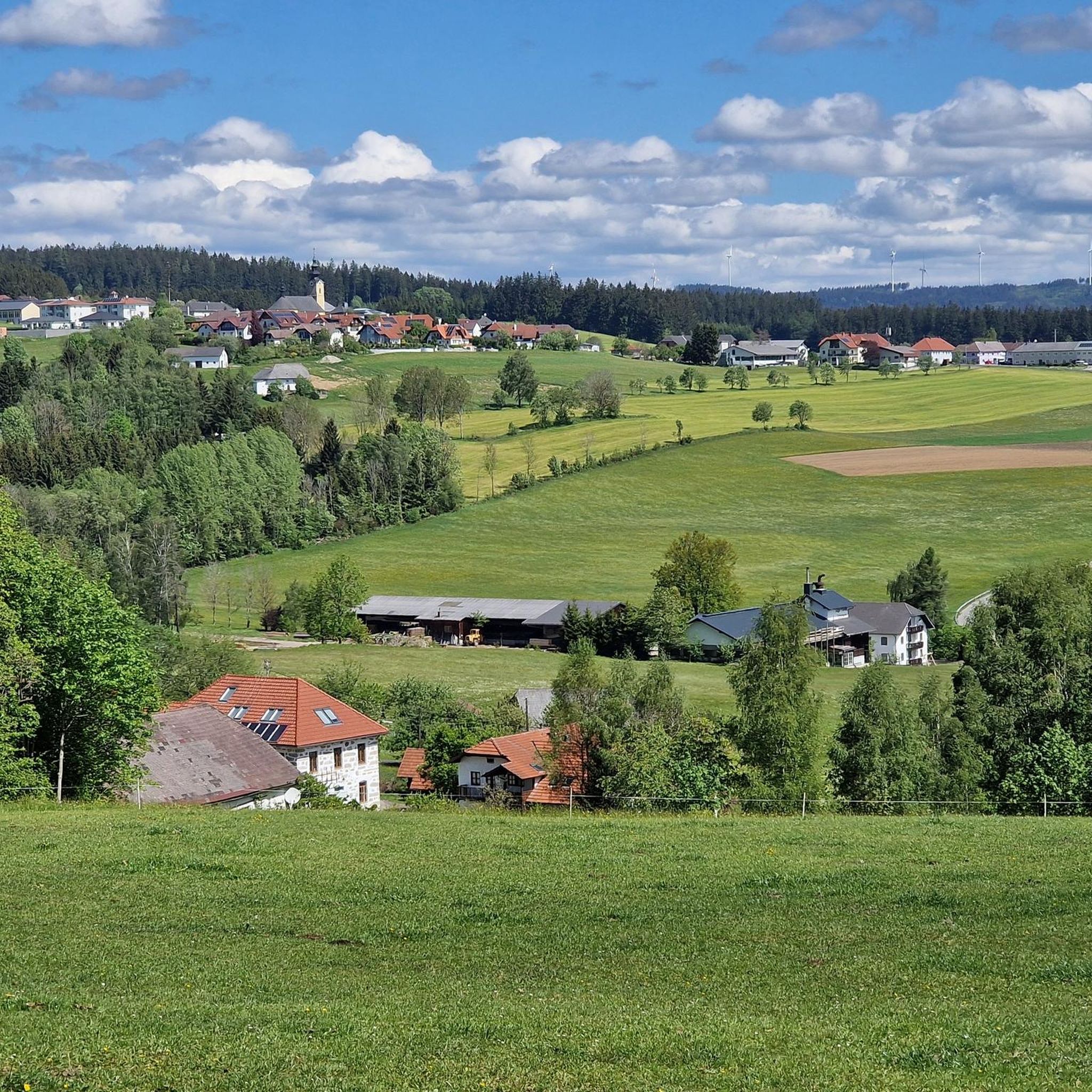
Mountaineering in Waxenberger Hofwald offers varied terrain characterized by challenging ascents and diverse natural features. The region features rarely visited summits, such as Traberg at 953 meters, and paths that can be wild and pathless, requiring careful navigation. Hikers encounter notable natural features like large granite stones and moss-covered formations, alongside forest paths, meadows, and charming landscape ponds. Significant elevation changes are common, with some routes involving hundreds of meters of ascent.
Best mountaineering routes in Waxenberger Hofwald
- The most…
Last updated: July 4, 2026
3
hikers
Moderate mountaineering route. Good fitness required. Easily-accessible paths. Suitable for all skill levels.
3
hikers
Moderate mountaineering route. Good fitness required. Easily-accessible paths. Suitable for all skill levels.

Sign up for free
11
hikers
3.55km
01:09
160m
160m
Easy mountaineering route. Great for any fitness level. Easily-accessible paths. Suitable for all skill levels.
5
hikers
Moderate mountaineering route. Good fitness required. Easily-accessible paths. Suitable for all skill levels.
3
hikers
9.37km
02:44
230m
230m
Moderate mountaineering route. Good fitness required. Easily-accessible paths. Suitable for all skill levels.
Get access to more routes and recommendations from other explorers.
Sign up for free
Already have an account?
Our route recommendations are based on thousands of hikes, rides, and runs completed by other people on komoot.
Start today with a free account
Your next adventure awaits.
Login or Signup
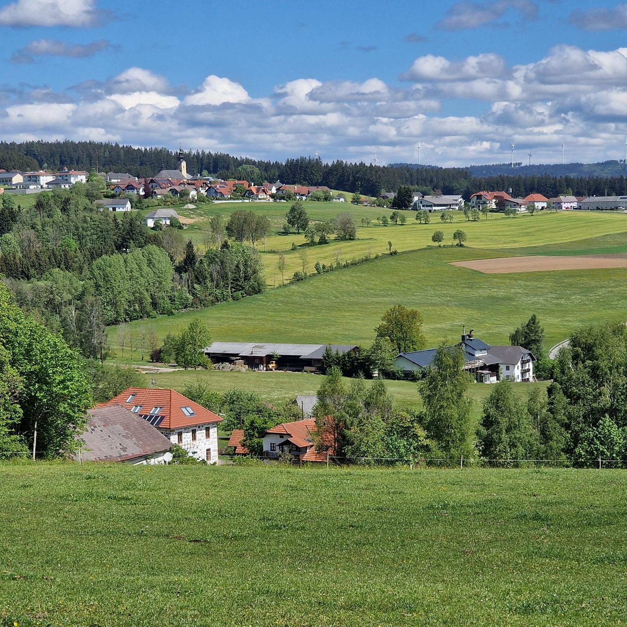
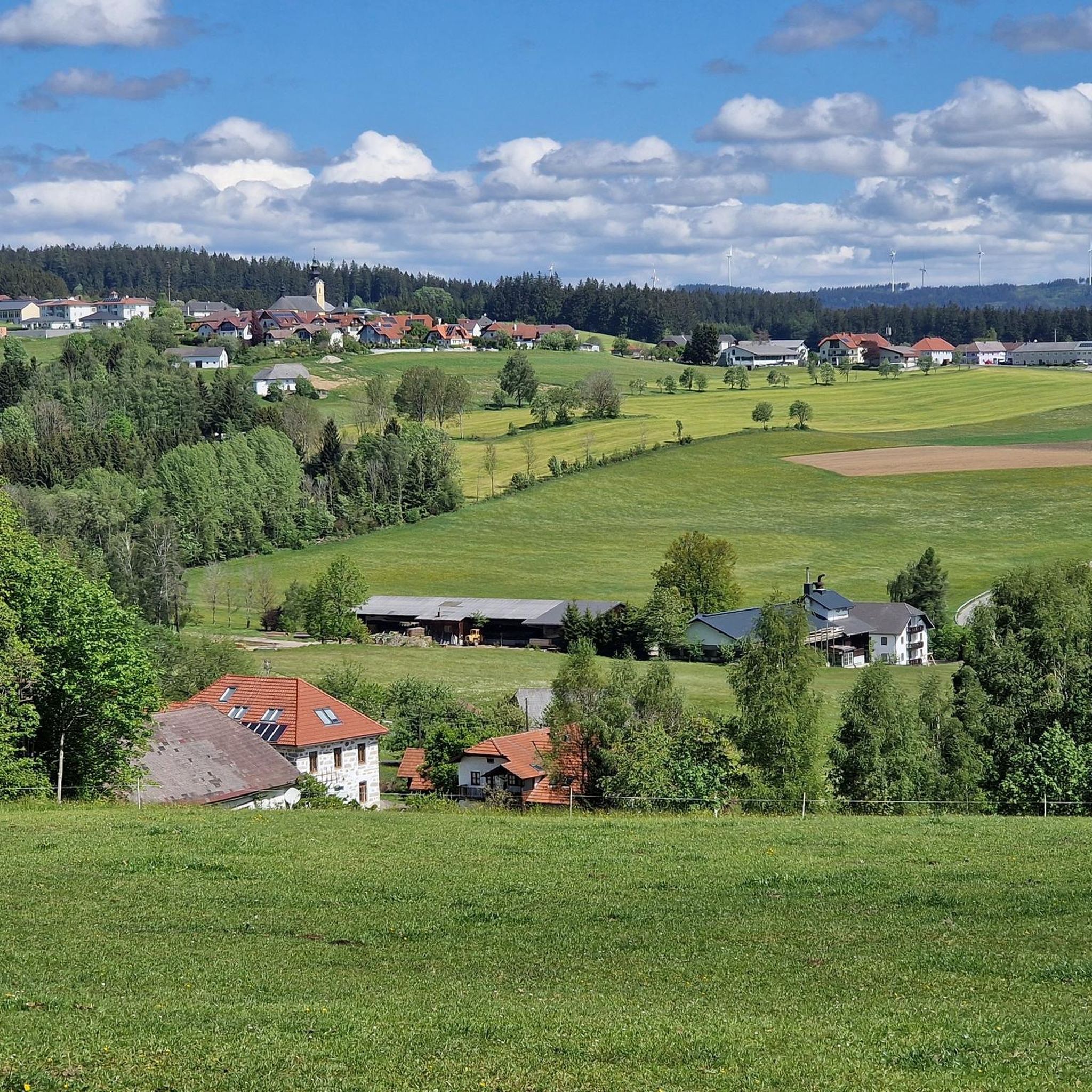
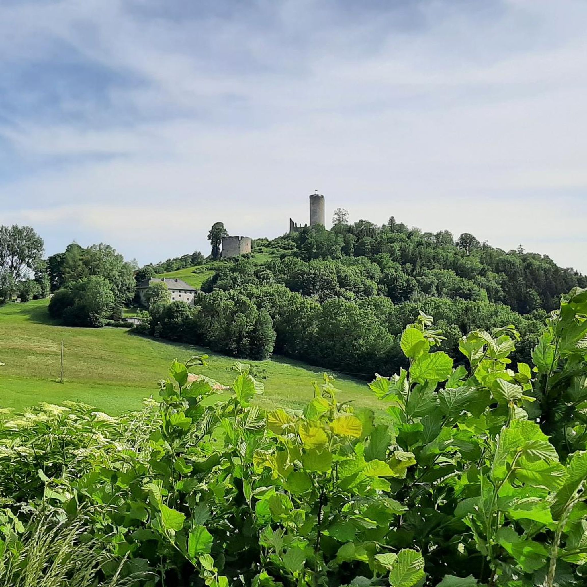
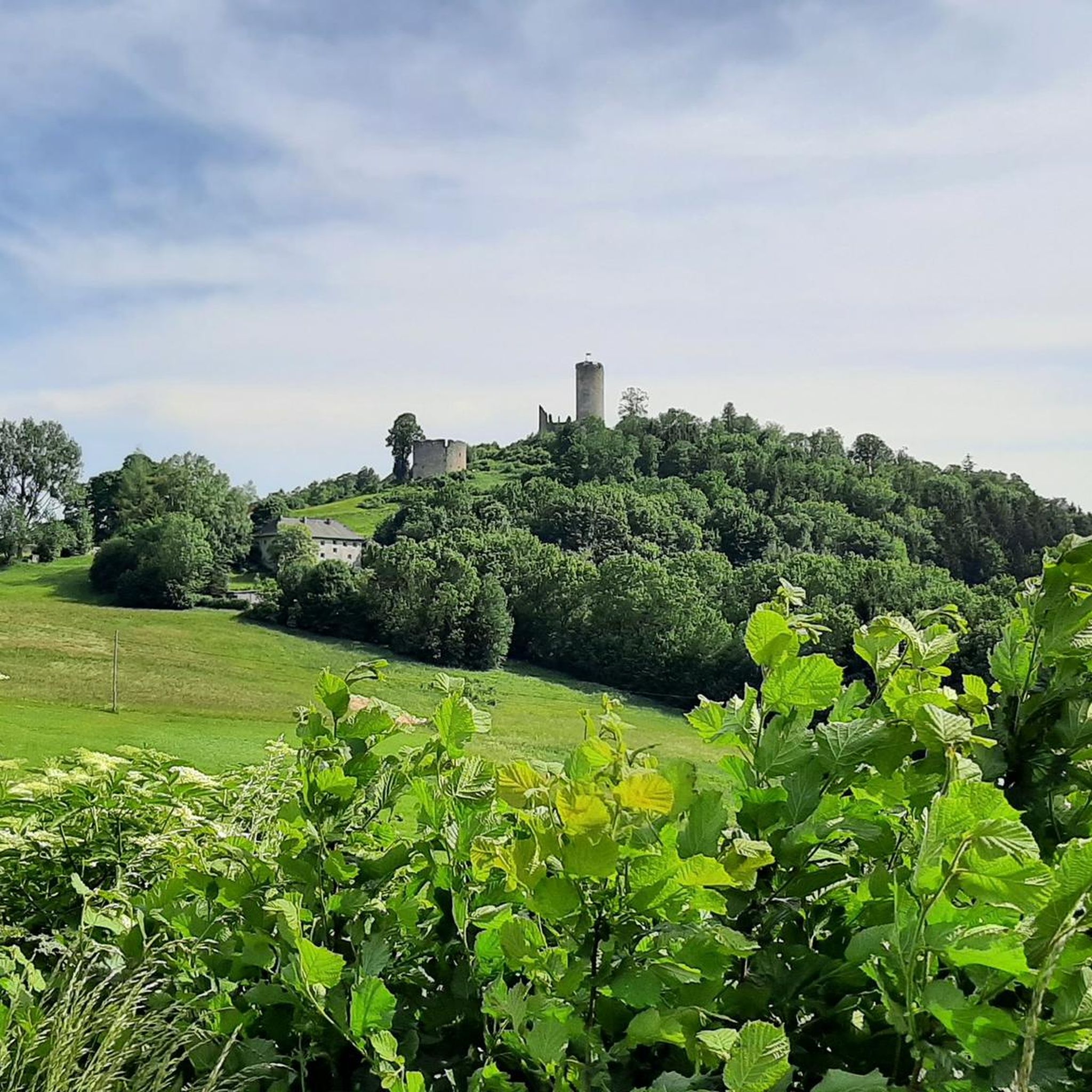

Tips from the Community

Water source: It is unclear whether the water runs year-round.
5
0


Top restaurant for a short break with delicious food.
0
0

The region has over 950 kilometers of signposted trails for mountain bikers of all levels of difficulty. A total of 17 routes selected by experts lead through the fascinating granite landscape of the Mühlviertel and offer both challenging trails and exciting descents that are ideal for hobby and leisure bikers as well as groups. More information can be found here: https://www.granitland.at/mountainbike/.
0
0

Beautifully maintained resting place at exactly 1000 m above sea level. Spring water is also drinkable. (No notice "Not for drinking")
1
0

"Homeland" Home is home If you don't have to leave then stay Because home is more important than the second mother's body (Franz Stelzhamer 1802-1874)
2
0
The Sternstein is 1125 m high and is located in the municipality of Vorderweißenbach. It is the highest elevation in the central Mühlviertel. The Sternsteinwarte, built in 1899, invites you to take a panoramic view from Bohemia to the Alps.
4
0

Many paths lead to the Sternstein.
3
0
Frequently Asked Questions
What is the typical difficulty of mountaineering routes in Waxenberger Hofwald?
Mountaineering in Waxenberger Hofwald offers a range of challenges. While some routes are easily walkable, many require good surefootedness, sturdy footwear, and alpine experience due to the distinctive, geologically interesting rock formations and significant elevation changes. The guide includes 2 easy and 6 moderate routes, with no difficult ones listed.
Are there any easy mountaineering routes suitable for beginners?
Yes, there are a couple of easier options available. The guide features 2 easy routes, which are a good starting point for those new to mountaineering in the region. These routes still offer the characteristic natural beauty without the most demanding ascents.
What kind of natural features can I expect to see on these routes?
The Waxenberger Hofwald is known for its unique geological landscape. You will encounter distinctive, geologically interesting rock formations, including moss-covered granite stones. The trails traverse a varied landscape of meadows and forest paths, and some routes begin near a charming landscape pond. You can also reach three summits of the Bohemian Forest, offering diverse elevations.
Are there any viewpoints or landmarks along the trails?
Yes, several routes pass by notable viewpoints and historical landmarks. For instance, the St. Veit Church in Mühlkreis – Hansberg Viewpoint loop offers views from the Hansberg Viewpoint and passes the historic Waxenberg Castle Ruins. Other points of interest in the region include the Burgfried Aussichtsturm observation tower, Rudis Kanzl (a hunting stand), and the Hubertus Fountain.
Can I find circular mountaineering routes in the area?
Yes, many of the mountaineering routes in Waxenberger Hofwald are designed as circular loops. Examples include the popular St. Veit Church in Mühlkreis – Hansberg Viewpoint loop from Burgruine Waxenberg, the Waxenberg Castle Ruins – St. Veit Church in Mühlkreis loop from St. Veit im Mühlkreis, and the Mushroom rock in Silberhartschlag – Sternstein Observation Tower loop from Bad Leonfelden.
How long do mountaineering tours typically take in Waxenberger Hofwald?
The duration of mountaineering tours varies depending on the route and your pace. Some of the moderate routes can take over 4 hours to complete, such as the St. Veit Church in Mühlkreis – Hansberg Viewpoint loop which typically takes around 4 hours and 6 minutes. Longer tours, like the Mushroom rock in Silberhartschlag – Sternstein Observation Tower loop, can last about 4 hours and 38 minutes.
Are the routes in Waxenberger Hofwald suitable for families?
While some routes are challenging and require alpine experience, there are easier options that might be suitable for families with older children who are accustomed to hiking. It's important to check the specific difficulty and elevation gain of each route. The 2 easy routes listed in the guide would be the most appropriate starting points for families.
Are dogs allowed on the mountaineering trails?
The guide does not specify restrictions regarding dogs on the trails. Generally, dogs are welcome on hiking paths in the region, but it's always advisable to keep them on a leash, especially in areas with wildlife or near livestock. Given the challenging terrain on some routes, ensure your dog is fit enough for the activity and that you carry enough water for both of you.
What is the best time of year to go mountaineering in Waxenberger Hofwald?
The Waxenberger Hofwald is enjoyable in various seasons. Spring and autumn offer pleasant temperatures and beautiful scenery, with vibrant foliage or blooming flora. Summer is also suitable, though some trails might be more exposed. Winter mountaineering is possible but requires specific gear and experience due to potential snow and ice, especially on higher elevations and rugged terrain.
Where can I find parking for the mountaineering routes?
Specific parking information is usually available on individual route pages. Many routes start from villages or points of interest like Burgruine Waxenberg or St. Veit im Mühlkreis, where parking facilities are typically provided for hikers. Always check the starting point of your chosen route for the most accurate parking details.
Are there any challenging routes for experienced mountaineers?
Yes, for experienced mountaineers, the Waxenberger Hofwald offers routes with significant ascents and rugged terrain. Some tours accumulate up to 900 meters in elevation and can last over 5 hours, requiring good surefootedness and sturdy footwear. These routes often feature wild and pathless sections, providing a demanding experience.
Most popular routes in Waxenberger Hofwald

Get inspired with the komoot mobile app


Explore more
Browse the best Mountain Hikes & Routes in other regions.
