The best walks and hikes around gmina Radoszyce
4.4
(62)
494
hikers
30
hikes
Hiking around gmina Radoszyce features a landscape characterized by a mix of gentle hills, forests, and numerous water bodies, including lakes and ponds. The terrain generally offers accessible paths suitable for various activity levels. This region provides opportunities to explore natural areas and local points of interest.
Best hiking trails around gmina Radoszyce
- The most popular hiking route is Sielpia Food Truck Stop loop from Sielpia Mała, a 3.0 miles (4.9 km) trail that takes 1 hour 15 minutes…
Last updated: October 6, 2026
4.7
(24)
171
hikers
5.72km
01:28
20m
20m
Easy hike. Great for any fitness level. Easily-accessible paths. Suitable for all skill levels.
5.0
(4)
36
hikers
3.65km
00:55
10m
10m
Easy hike. Great for any fitness level. Easily-accessible paths. Suitable for all skill levels.

5.0
(1)
12
hikers
26.9km
06:56
140m
140m
Hard hike. Very good fitness required. Easily-accessible paths. Suitable for all skill levels.
11
hikers
3.15km
00:48
10m
10m
Easy hike. Great for any fitness level. Easily-accessible paths. Suitable for all skill levels.
9
hikers
2.37km
00:41
70m
70m
Easy hike. Great for any fitness level. Easily-accessible paths. Suitable for all skill levels.
Get access to more routes and recommendations from other explorers.
Already have an account?
Our route recommendations are based on thousands of hikes, rides, and runs completed by other people on komoot.
Start today with a free account
Your next adventure awaits.

Tips from the Community

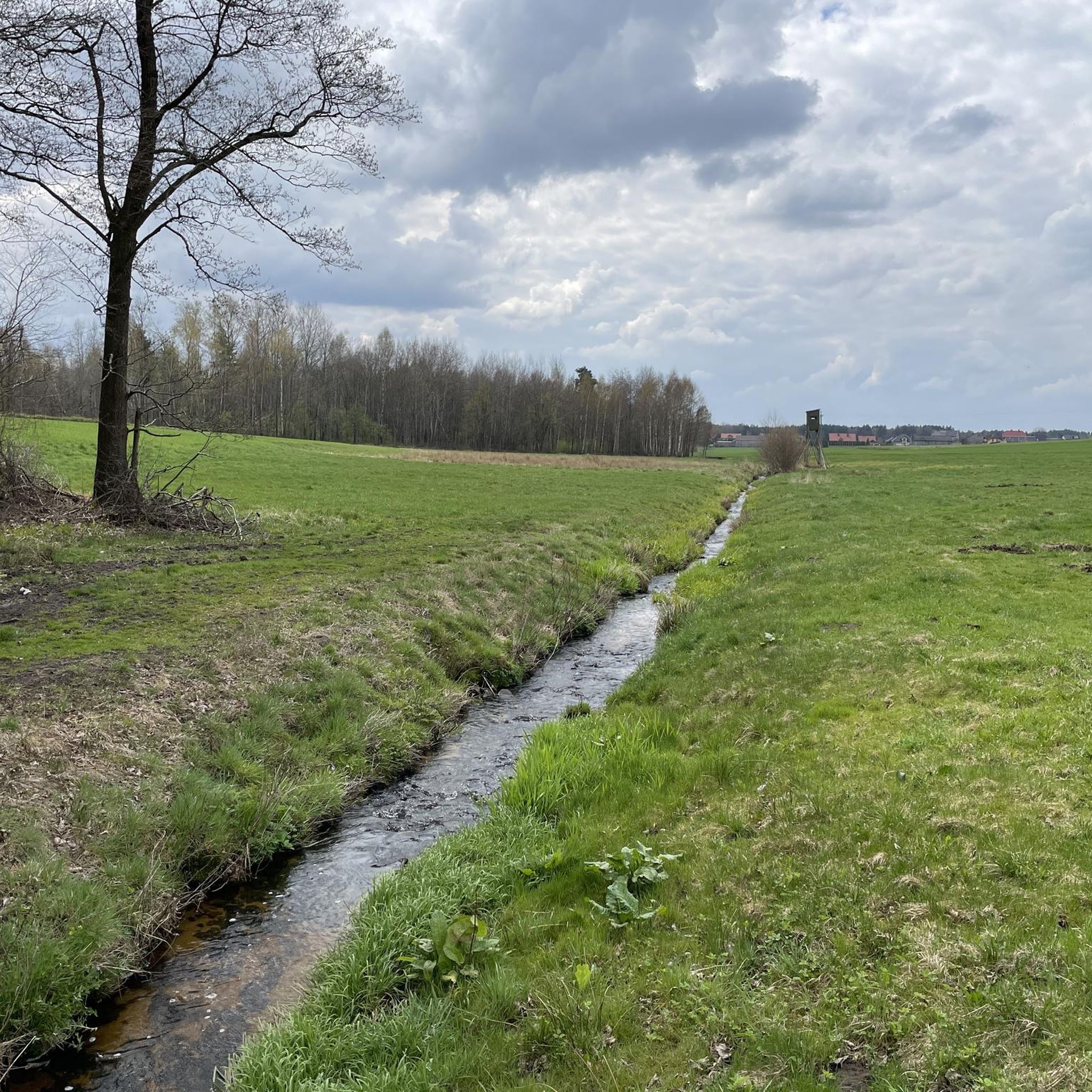
The ponds in the Browary district in Końskie are now a popular place for walks and relaxation. The renovated reservoirs, fed by clean streams, are surrounded by well-kept greenery, and the area has gained new recreational functions. You can walk here, fish, light a bonfire or take part in cultural events, such as KGW tournaments or Kupala Night. There are paved paths around them. It is worth remembering that swimming in the ponds is not allowed.
1
0


Until 1830, the village was called Iwasiów, at that time there were 3 taverns and inns. In 1827, the village was inhabited by 27 people in 4 houses, in 1880 there were already 12 houses and 62 inhabitants. Until World War I, Piekło was a center for the production of nails. During World War II, during a raid in 1940 aimed at capturing Major Henryk Dobrzański "Hubal", an SS unit murdered all the men here.
0
0
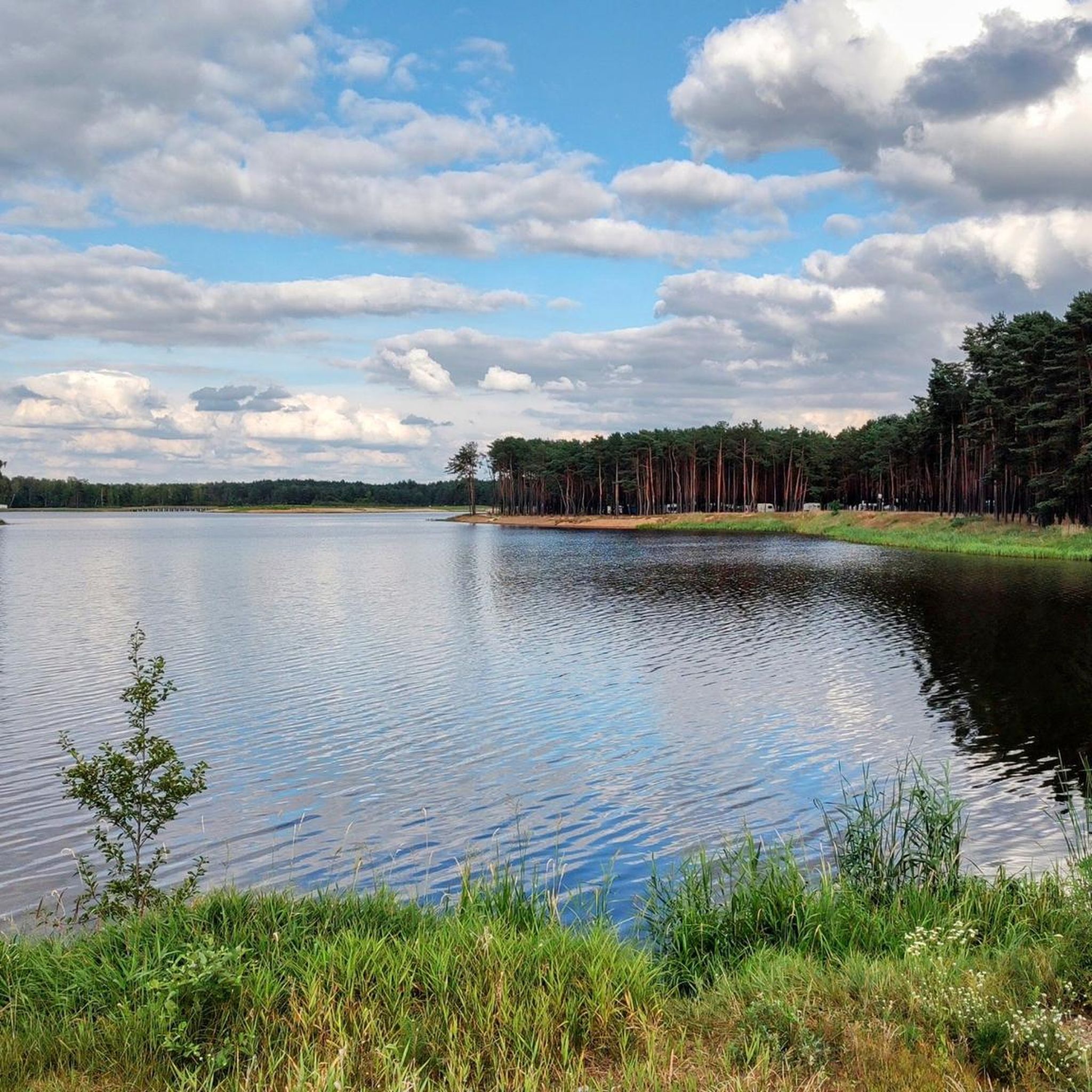
Lake Sielpińskie (Zalew Sielpia) – an artificial reservoir with an area of 57.41 ha located in the north-western part of the Świętokrzyskie Voivodeship between Kielce (approx. 35 km) and Końskie (approx. 10 km) in the town of Sielpia Wielka on the Czarna Konecka Reservoir. There are two islands on the reservoir. The reservoir was created in the 1960s. It is one of the largest recreational reservoirs in the Świętokrzyskie Voivodeship.
0
0

In 2017, the city park and other places were declared a UNESCO World Heritage Site. The park now includes a pond with a fountain, a viewing tower on a hill, an arcade, a bar, a playground, stone flower pots (including those from Repten Castle), a bandstand with a football pitch, tennis courts, a toboggan hill, a wooden sales pavilion, as well as an old mining shaft and the embankment of the former narrow-gauge railway.
1
0
When the Friedrichsgrube ceased operations completely in 1910, the obelisk (Redenstein) that stood on the Rudolphin memorial in the mine park was handed over to the city administration of Tarnowskie Góry, which then erected it in the city park. After Tarnowskie Góry became part of Poland, the obelisk was destroyed in 1930. On April 10, 2011, a memorial stone was erected for the Smolensk plane crash. In October 2013, the park paths were named and nameplates were put up. The paths were given the following names: Aleja Kaganków, Aleja Skarbka, Aleja Pod Wieżę, Aleja Dobrego Urobku, Aleja Karbidek, Aleja Sztygarów, Skrót Gwarków, Promenada.[4] In 2016, the park was registered as a cultural monument.
2
0
In addition, a Bismarck-Hindenburg tower was to be built, but this was not realized because the city was ceded to Poland. In addition, a hero's grove was created in the park, where a Hindenburg oak, a Mackensen oak, a Ludendorf oak and a Woyr oak were planted, which were surrounded by 1,650 hero oaks. After 1910, a sports facility was built. In 1918, a cemetery of honor was created for the fallen of the First World War.[3] During the Second World War, the fallen of the war were also buried in the cemetery of honor. In 1928, an ice skating rink was built and in 1977 a ski and sledding hill.
2
0
Frequently Asked Questions
What types of terrain can I expect when hiking in gmina Radoszyce?
The landscape in gmina Radoszyce is characterized by gentle hills, extensive forests, and numerous water bodies, including lakes and ponds. The trails generally offer accessible paths suitable for various activity levels, providing a pleasant mix of natural scenery.
How many hiking trails are available in gmina Radoszyce?
There are over 20 hiking trails documented in gmina Radoszyce, offering a diverse range of options for hikers. These include routes of varying difficulty, from easy strolls to more challenging excursions.
Are there easy hiking trails suitable for beginners or casual walkers?
Yes, gmina Radoszyce offers many easy hiking trails. In fact, 17 of the available routes are classified as easy. A great option is the Sielpia Food Truck Stop loop from Sielpia Mała, which is 3.0 miles (4.9 km) long and takes about 1 hour 15 minutes to complete.
Are there any challenging or difficult hikes in gmina Radoszyce?
For those seeking a more demanding experience, gmina Radoszyce does offer a few challenging routes. There are 3 trails classified as difficult, such as the Browary Ponds in Końskie – Piekło loop from Sielpia Wielka, which spans 16.7 miles (26.9 km) and features significant elevation changes.
What is the typical duration of hikes in gmina Radoszyce?
Hike durations in gmina Radoszyce vary significantly. Shorter, easy loops like the Antoniów loop from Grodzisko can be completed in about 1 hour. Longer, more difficult trails, such as the Browary Ponds in Końskie – Piekło loop, can take upwards of 7 hours.
Are there circular hiking routes available in gmina Radoszyce?
Yes, many of the trails in gmina Radoszyce are circular routes, perfect for returning to your starting point without retracing your steps. Examples include the popular Sielpińskie Lake – Sielpia swimming area loop from Sielpia Wielka and the Góra Kuźnicka – Perzowa Góra loop from Kuźniaki.
What can I see along the hiking trails in gmina Radoszyce?
Hikers can explore a variety of natural and historical points of interest. You'll find beautiful water bodies like Sielpińskie Lake and the Browary Ponds in Końskie. There are also historical sites such as the Maleniec Ironworks Museum and the Kościuszko Square and St. Nicholas Collegiate Church in Końskie.
Are there family-friendly hiking options in gmina Radoszyce?
Absolutely. With a large number of easy trails and gentle terrain, gmina Radoszyce is well-suited for family outings. Many routes around the lakes, such as the Sielpińskie Lake – Sielpia swimming area loop, are short and offer pleasant scenery for all ages.
Can I hike with my dog in gmina Radoszyce?
Generally, dogs are welcome on most public hiking trails in gmina Radoszyce, especially on local paths and forest roads. It's always advisable to keep your dog on a leash, especially near wildlife or in more populated areas, and to clean up after them. Specific rules might apply to certain protected areas, so check local signage.
What do other hikers enjoy most about hiking in gmina Radoszyce?
The area is highly rated by the komoot community, with an average score of 4.8 stars from over 50 reviews. Hikers frequently praise the region's accessible paths, the serene beauty of its lakes and forests, and the variety of routes that cater to different fitness levels.
Are there any facilities or rest areas along the trails?
Yes, some popular areas, particularly around Sielpia, offer facilities. For instance, the Przystanek Sielpia – Food Truck and Rest Area provides a convenient stop for refreshments and a break during your hike.
Most popular attractions around gmina Radoszyce

Get inspired with the komoot mobile app


Explore more
Browse the best Hikes in other regions.
