The best mountain hikes around gmina Górno
4.7
(46)
171
hikers
8
hikes
Mountaineering around gmina Górno offers routes through the Świętokrzyskie Mountains, characterized by forested hills and notable peaks like Łysica Summit. The terrain primarily consists of ancient geological formations, providing a mix of gentle ascents and more challenging climbs. Dense woodlands cover much of the area, with occasional rocky outcrops and natural springs. The region's landscape is well-suited for various mountaineering experiences.
Best mountaineering routes around gmina Górno
- The most popular mountaineering route is Łysica Summit – St. Francis' Spring loop…
Last updated: July 2, 2026
4.7
(19)
58
hikers
13.9km
04:10
430m
430m
Moderate mountaineering route. Good fitness required. Easily-accessible paths. Suitable for all skill levels.
4.7
(17)
52
hikers
11.8km
03:29
320m
320m
Moderate mountaineering route. Good fitness required. Easily-accessible paths. Suitable for all skill levels.

Sign up for free
4.3
(3)
25
hikers
8.49km
02:29
240m
240m
Moderate mountaineering route. Good fitness required. Easily-accessible paths. Suitable for all skill levels.
5.0
(3)
8
hikers
13.7km
04:01
360m
360m
Moderate mountaineering route. Good fitness required. Easily-accessible paths. Suitable for all skill levels.
5
hikers
21.2km
06:15
590m
590m
Hard mountaineering route. Very good fitness required. Easily-accessible paths. Suitable for all skill levels.
Get access to more routes and recommendations from other explorers.
Sign up for free
Already have an account?
Our route recommendations are based on thousands of hikes, rides, and runs completed by other people on komoot.
Start today with a free account
Your next adventure awaits.
Login or Signup
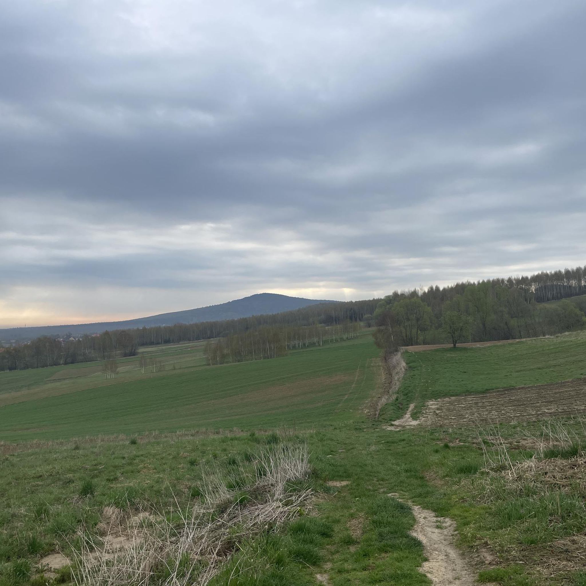
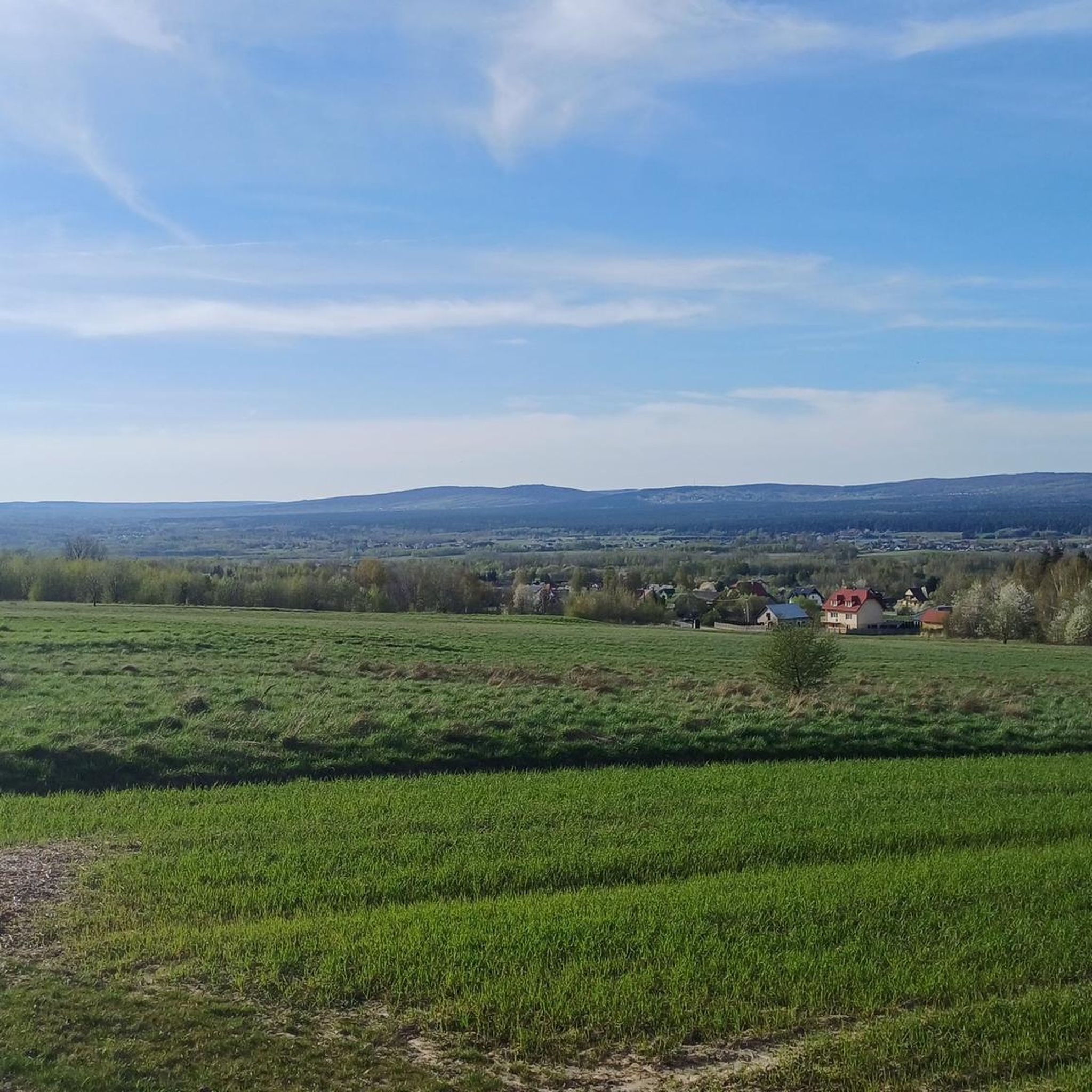
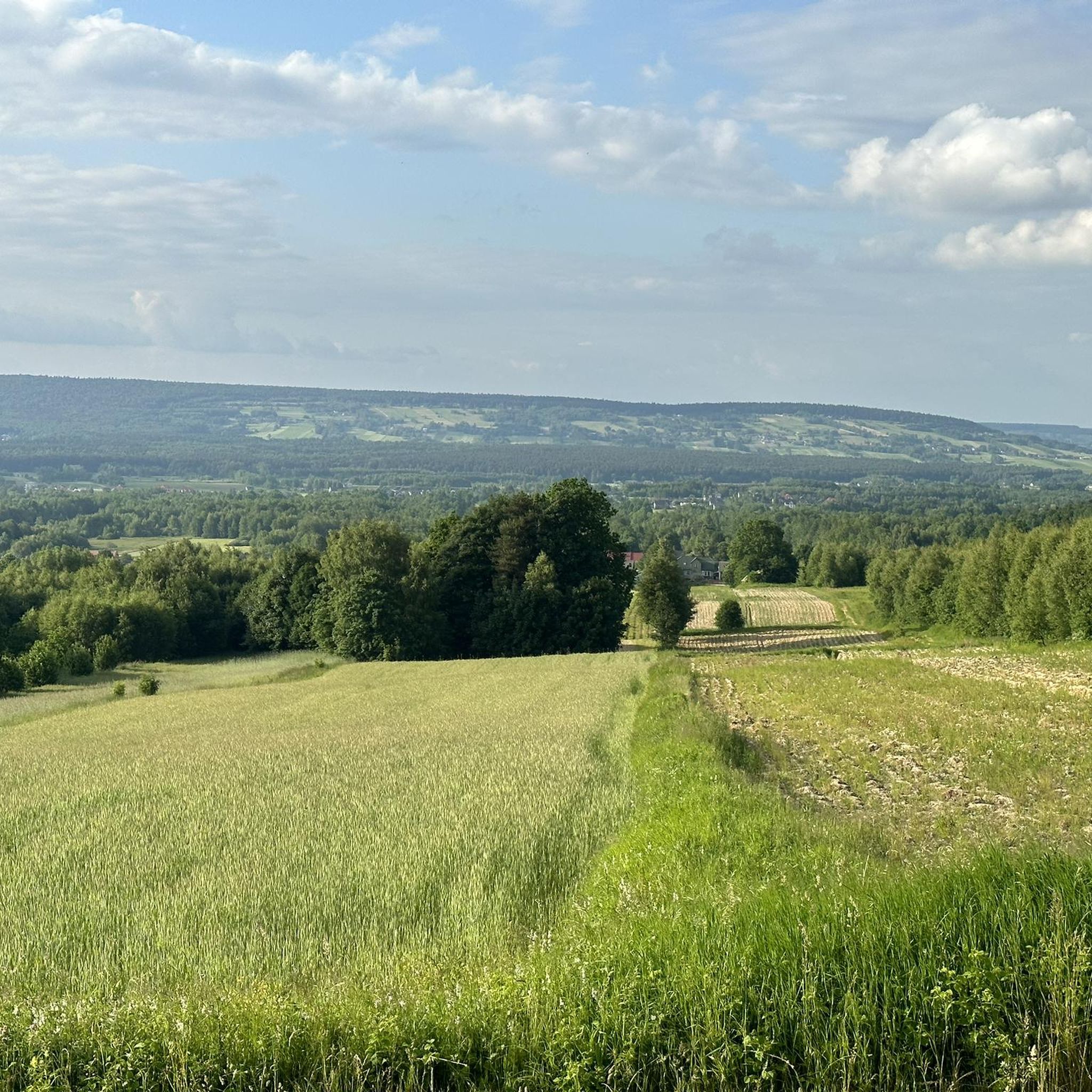
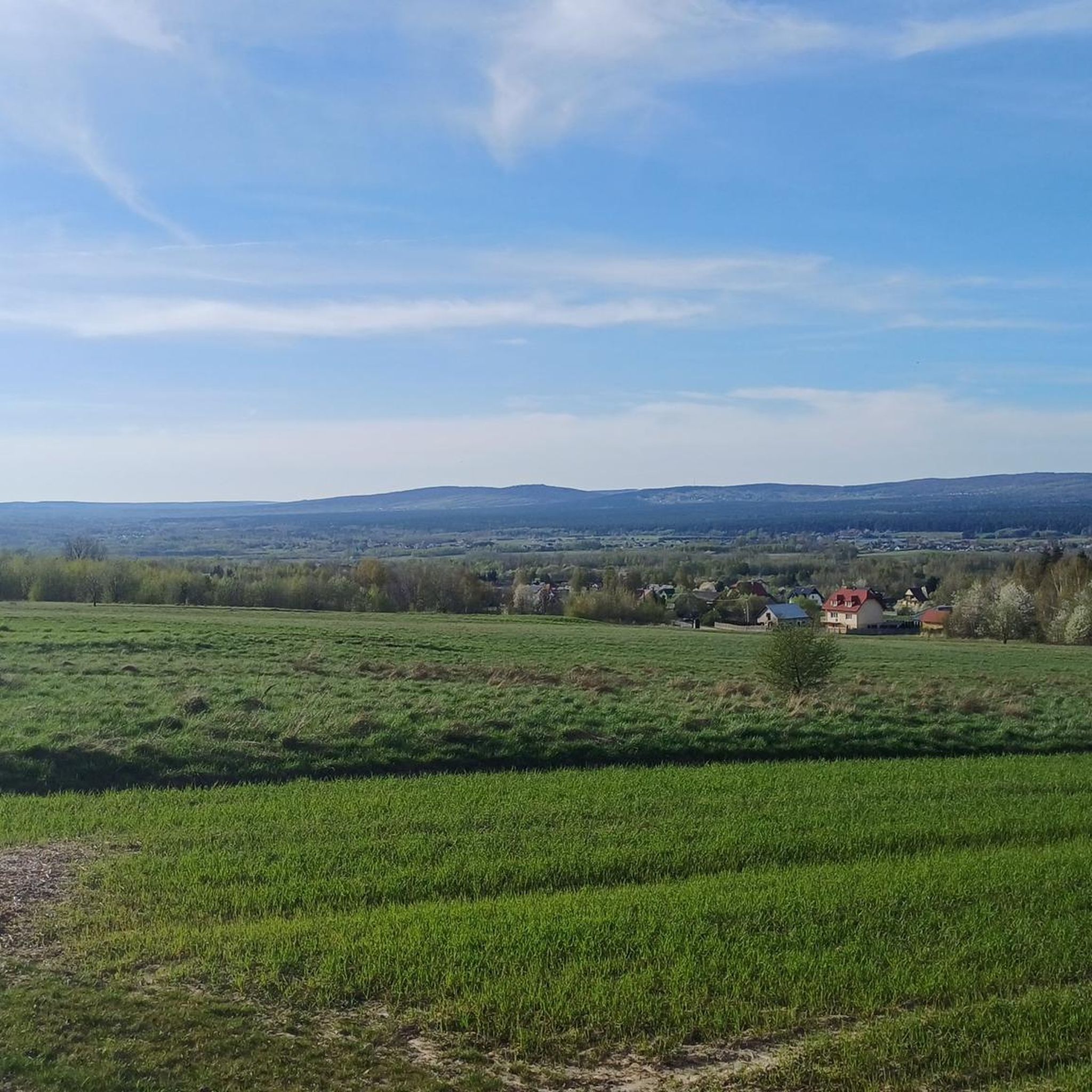
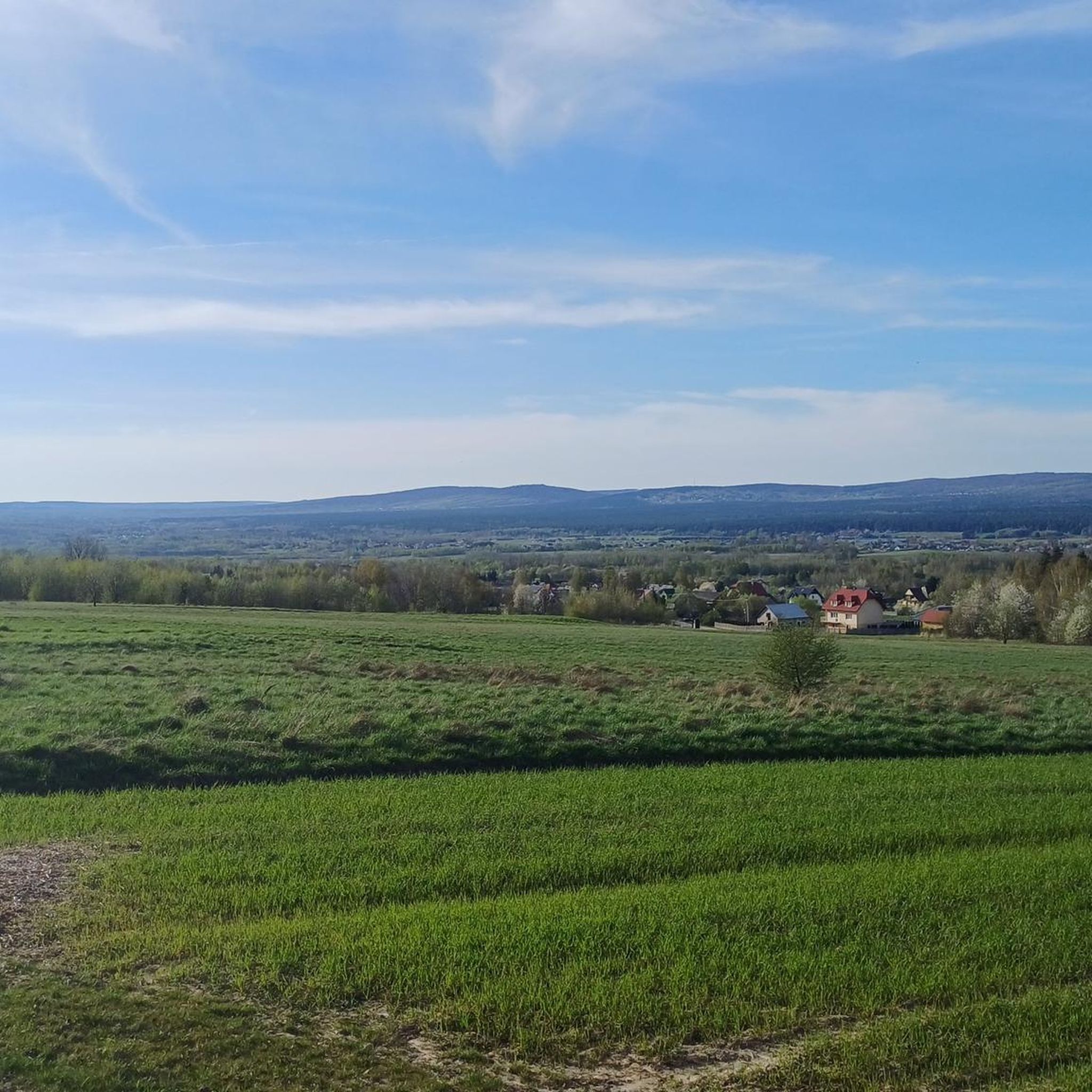

Tips from the Community

In Kakoniny, there is a 19th-century cottage with traditional Świętokrzyskie architecture. It is a wooden residential building, built in 1820. The historic cottage is located at the foot of Łysica on the red hiking trail from Święta Katarzyna to Święty Krzyż. It serves as an ethnographic museum point. Right next to the historic cottage is Chata Kaka, where tourists enjoy homemade pierogi, lumberjack meals, and drinks. This is a must-visit place and a stopping point for tourists traversing the red hiking trail.
0
0

You can buy souvenir magnets etc.
0
0
3 branches lead up to the knee. You can sit down to eat something.
0
0

A climate-friendly place worth recommending.
0
0
At the end of the approach, the trail is very rocky.
0
0

a lot of ice, you have to carry it in your handcuffs
0
0

Amazing! It's a great walk, but I recommend better shoes because some of the rocks are quite sharp.
0
0
Cool, those were cool magnets
0
0
Frequently Asked Questions
What types of mountaineering routes can I find in gmina Górno?
Gmina Górno offers a variety of mountaineering routes through the Świętokrzyskie Mountains, characterized by forested hills and ancient geological formations. You'll find a mix of moderate paths and more challenging ascents, with one route specifically rated as easy, six as moderate, and one as difficult.
Are there any easy mountaineering routes suitable for beginners or families in gmina Górno?
Yes, gmina Górno has one easy mountaineering route. While specific details for this route are not provided, the region's landscape generally offers options for various ability levels, including those looking for less strenuous climbs.
What are some of the notable natural landmarks or points of interest along the mountaineering routes in gmina Górno?
Many routes in gmina Górno pass by significant natural landmarks. You can explore the prominent Łysica Summit, visit the tranquil St. Francis' Spring, or encounter the unique Bukowa Góra Rock Formations. Some routes also lead past Słupski Weksel Shelter, offering a place to rest.
Are there any circular mountaineering routes available in gmina Górno?
Yes, several popular mountaineering routes in gmina Górno are circular. For example, you can enjoy the Łysica Summit – St. Francis' Spring loop from Kakonin, or the Łysica – Agata Rock (614 m) – Łysica Summit loop from Kakonin, both offering a return to your starting point.
What is the typical duration for mountaineering routes in gmina Górno?
The duration of mountaineering routes in gmina Górno varies depending on the trail and your pace. For instance, the Łysica Summit – St. Francis' Spring loop from Kakonin typically takes around 4 hours and 12 minutes, while the shorter Łysica – Agata Rock (614 m) – Łysica Summit loop from Kakonin can be completed in about 2 hours and 28 minutes.
What do other mountaineers say about the routes in gmina Górno?
The mountaineering routes in gmina Górno are highly regarded by the komoot community, holding an average rating of 4.8 stars from over 40 reviews. Many mountaineers praise the varied terrain, the beauty of the forested slopes, and the well-defined paths leading to notable summits and springs.
Are there any more challenging or advanced mountaineering routes in gmina Górno?
Yes, for those seeking a more demanding experience, gmina Górno offers at least one difficult mountaineering route. The St. Francis' Spring – Łysica Summit loop from Bodzentyn is a longer and more strenuous option, featuring significant elevation gain.
What is the best time of year for mountaineering in gmina Górno?
The Świętokrzyskie Mountains, where gmina Górno is located, are generally pleasant for mountaineering from spring through autumn. The dense woodlands provide shade in warmer months, and the ancient geological formations are beautiful to explore when free of snow. Winter mountaineering is possible but requires appropriate gear and experience due to potential snow and ice conditions.
What kind of terrain can I expect on mountaineering routes in gmina Górno?
The terrain in gmina Górno primarily consists of forested hills and ancient geological formations. You can expect a mix of gentle ascents and more challenging climbs, with dense woodlands covering much of the area. Occasional rocky outcrops and natural springs add to the varied landscape.
Are there any routes that specifically highlight St. Francis' Spring?
Yes, St. Francis' Spring is a significant landmark featured on several routes. You can explore the St. Francis' Spring – Łysica Summit loop from Święta Katarzyna, which offers varied terrain through forests towards the summit and passes by the spring.
How many mountaineering routes are available in gmina Górno?
There are 8 distinct mountaineering routes available for exploration in gmina Górno, catering to various skill levels from easy to difficult.
Most popular routes around gmina Górno
Most popular attractions around gmina Górno

Get inspired with the komoot mobile app


Explore more
Browse the best Mountain Hikes & Routes in other regions.
