The best cycling routes in Carson-Iceberg Wilderness
20
riders
5
rides
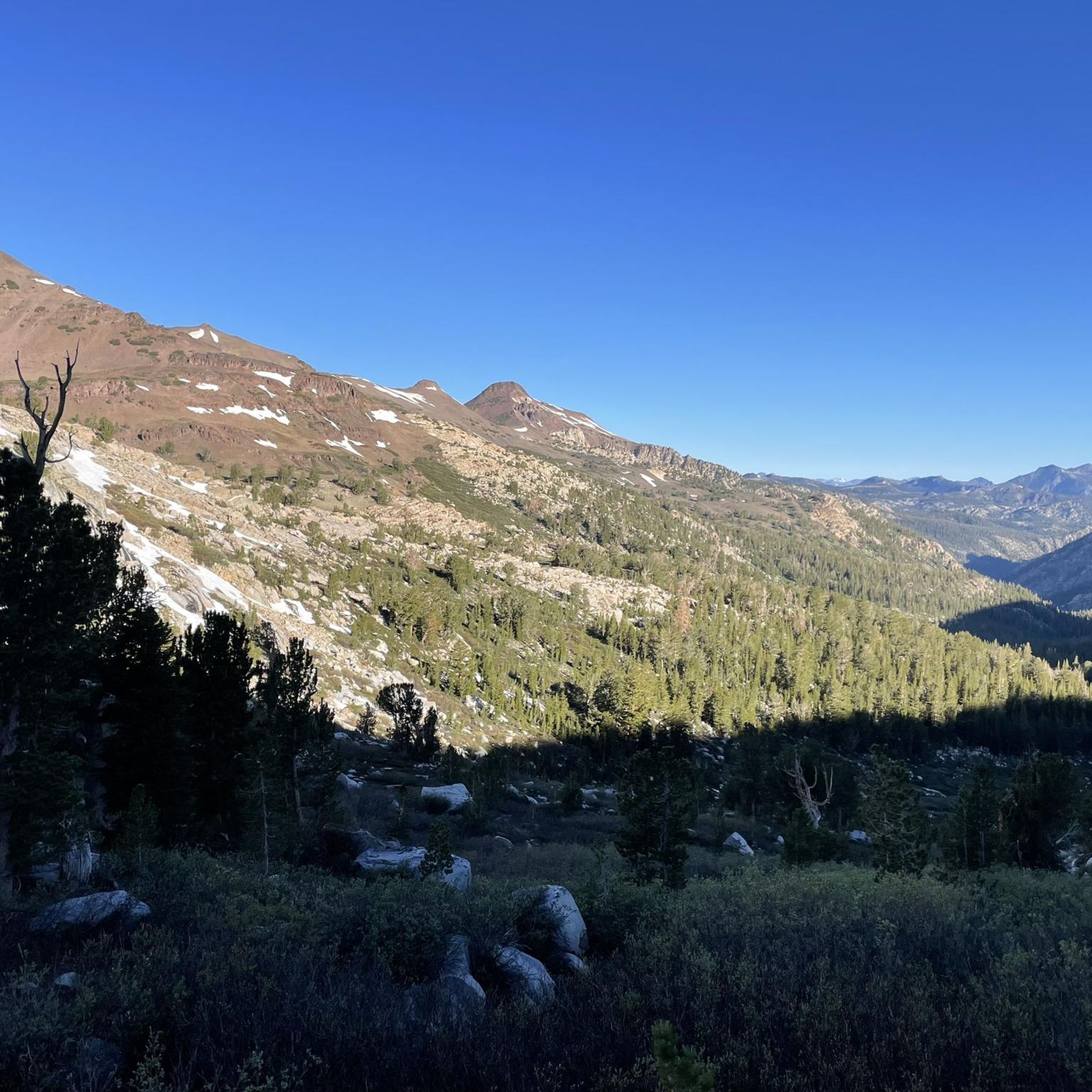
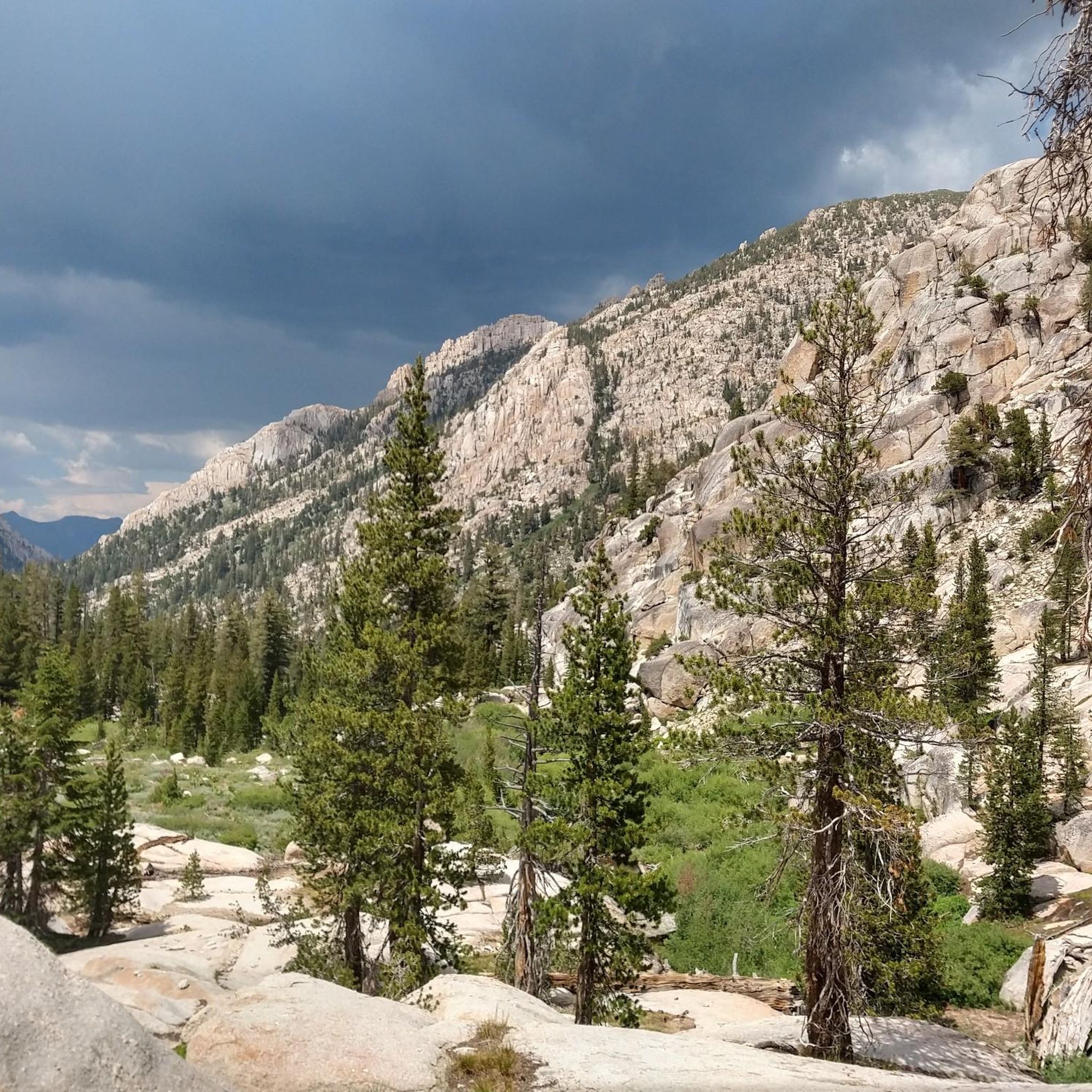
Touring cycling in Carson-Iceberg Wilderness offers challenging routes on roads bordering the designated wilderness area, which itself prohibits mechanized equipment. The region features dramatic high-country landscapes with peaks exceeding 10,000 feet, granite-strewn slopes, and thick forests of pine and fir. Cyclists can experience diverse terrain, including broad river valleys and alpine meadows, while navigating scenic mountain passes and historic routes.
Best touring cycling routes in Carson-Iceberg Wilderness
- The most popular touring cycling route is Ebbetts Pass – Lake Alpine loop…
Last updated: October 5, 2026
6
riders
45.0km
03:26
1,170m
1,170m
Hard bike ride. Very good fitness required. Mostly paved surfaces. Suitable for all skill levels.
2
riders
11.5km
00:58
270m
270m
Moderate bike ride. Good fitness required. Mostly paved surfaces. Suitable for all skill levels.

50.3km
02:59
350m
350m
Cycle the moderate 31.2-mile Walker, California to Topaz Lake loop, gaining 1140 feet of elevation through scenic Eastern Sierra landscapes.
6
riders
26.3km
02:07
810m
810m
Hard bike ride. Very good fitness required. Mostly paved surfaces. Suitable for all skill levels.
6
riders
105km
07:36
2,300m
2,300m
Hard bike ride. Very good fitness required. Mostly paved surfaces. Suitable for all skill levels.
Our route recommendations are based on thousands of hikes, rides, and runs completed by other people on komoot.
Start today with a free account
Your next adventure awaits.
Popular around Carson-Iceberg Wilderness
Tips from the Community

These lakes are a popular spot for fishing. There are a couple of nice hiking trails too, and a campground.
0
0
It's quite a grind to get up here, at an elevation of 8,736 feet or 2,663 m, but sometimes you just have to play road biker for the views.
0
0

Tall wooden carved bear sculpture carved from massive tree stumps greets visitors at the entrance of Bear Valley.
0
0

Like its more famous neighbor Lake Tahoe, Topaz Lake is divided by the California-Nevada border. Due to this the Lodge just on the Nevada border side has all of the requisite Nevada slot machines and black jack tables. The lake itself if popular for fishing, sailing, and other watersports; with a number of hiking and ATV trails around the area as well.
0
0
The West Walker River gets its start in the Eastern Sierra Mountains near Sonora Pass. After tumbling down to the valley floor it runs along Highway 395 to Topaz Lake and eventually joins the East Walker River further into Nevada. The river is a destination for anglers from all over and the number of campgrounds & small towns along its length are all welcoming.
0
0
Like its more famous neighbor Lake Tahoe, Topaz Lake is divided by the California-Nevada border. Due to this the Lodge just on the Nevada border side has all of the requisite Nevada slot machines and black jack tables. The lake itself is popular for fishing, sailing, and other watersports; with a number of hiking and ATV trails around the area as well.
0
0
Located along the Walker River, Walker, California is a great basecamp for exploring all that the Eastern Sierra have to offer. Hiking, biking, fishing, climbing, back country skiing & boarding are all within easy access of Walker. No mater what adventure you choose, Walker Burger will be there to fill up afterwards with some of the best burgers California has to offer.
0
0
Lake Alpine is a year round destination. Sitting at 7,300 feet it is a great place to hike, bike, swim, and kayak in the summer. In winter you'll find ample opportunities for snowmobiling, snowshoeing, and cross-country skiing.
1
0
Frequently Asked Questions
Are bicycles allowed within the Carson-Iceberg Wilderness itself?
No, bicycles, including touring bikes, are generally prohibited within the designated Carson-Iceberg Wilderness area due to wilderness regulations against mechanized equipment. However, the scenic roads and areas bordering the wilderness offer excellent cycling opportunities to experience the region's diverse landscapes.
How many touring cycling routes are available in the Carson-Iceberg Wilderness area?
There are 5 touring cycling routes available in the area surrounding the Carson-Iceberg Wilderness, offering a range of challenges for cyclists.
What kind of terrain can I expect on touring cycling routes near Carson-Iceberg Wilderness?
The routes in this region often feature dramatic high-country landscapes with significant elevation changes, as well as broad river valleys and forested sections. You'll encounter granite-strewn slopes and volcanic formations, providing varied and scenic terrain.
Are there any challenging touring cycling routes for experienced riders?
Yes, the area offers several challenging routes. For instance, the Ebbetts Pass – Lake Alpine loop from Markleeville is a difficult 104 km route with over 2300 meters of elevation gain. Another demanding option is the Hermit Valley – Ebbetts Pass loop from Chickaree Day Use, covering 45 km with over 1100 meters of ascent.
Are there any moderate touring cycling routes suitable for a less intense ride?
Absolutely. The Walker, California to Topaz Lake loop is a moderate 50 km route with about 347 meters of elevation gain. Another good choice is the Bear Valley Bear loop from Bear Valley, a shorter moderate ride of 11.5 km with around 274 meters of climbing.
What are some scenic highlights or natural features I might see on a touring cycling route?
While cycling the roads bordering the wilderness, you can expect breathtaking vistas of peaks exceeding 10,000 feet. You'll also pass through thick forests of various pine and fir species, and may catch glimpses of river valleys, perennial creeks, and small waterfalls. Keep an eye out for unique geological formations like the volcanic Dardanelles.
Are there any circular touring cycling routes in the area?
Yes, several routes are designed as loops. Examples include the Hermit Valley – Ebbetts Pass loop from Chickaree Day Use, the Bear Valley Bear loop from Bear Valley, and the Walker, California to Topaz Lake loop, which allow you to start and finish at the same point.
What is the best time of year for touring cycling near Carson-Iceberg Wilderness?
The best time for touring cycling in this high-country region is typically during the warmer months, from late spring through early autumn, when mountain passes are clear of snow and weather conditions are more stable. Always check local weather and road conditions before you go, as conditions can change rapidly at higher elevations.
Are there options for family-friendly touring cycling near the Carson-Iceberg Wilderness?
While many routes in the immediate vicinity are challenging due to significant elevation, shorter, moderate loops like the Bear Valley Bear loop from Bear Valley (11.5 km) could be suitable for families with older, experienced children. For younger families, it's advisable to seek out dedicated paved bike paths in nearby towns or lower elevation areas.
Where can I find parking for touring cycling routes?
Many routes start from established trailheads or day-use areas, such as Chickaree Day Use for the Hermit Valley – Ebbetts Pass loop, or from towns like Bear Valley or Markleeville. These locations typically offer designated parking facilities for visitors.
What should I know about elevation gain on these routes?
The Carson-Iceberg Wilderness area is part of the Sierra Nevada, so expect significant elevation gains on most touring cycling routes. For example, the Ebbetts Pass – Lake Alpine loop involves over 2300 meters of climbing, and the Monitor Pass loop has over 800 meters. Be prepared for sustained ascents and descents.
Can I find accommodation suitable for cyclists near the Carson-Iceberg Wilderness?
Yes, towns and communities bordering the wilderness, such as Bear Valley, Markleeville, and Walker, offer various accommodation options including hotels, motels, and campgrounds that cater to outdoor enthusiasts, including cyclists. It's advisable to book in advance, especially during peak season.
Most popular routes in Carson-Iceberg Wilderness

Get inspired with the komoot mobile app


Explore more
Browse the best Cycling routes in other regions.
