The best road cycling routes around Danville
16
riders
6
rides
Road cycling around Danville is characterized by diverse natural landscapes, including rolling hills and scenic valleys. The region offers a blend of open roads and designated bicycle lanes, providing varied terrain for cyclists. Mount Diablo State Park and the surrounding oak-studded hills contribute to the area's physical features, with routes often featuring significant elevation changes.
Best road cycling routes around Danville
- The most popular road cycling route is Wonderful Lamoille Rail Trail – Dole Hill loop from Mount Pleasant Associates…
Last updated: October 19, 2026
3
riders
54.5km
03:22
900m
900m
Moderate road ride. Good fitness required. Some segments of this route may be unpaved and difficult to ride.
4
riders
61.7km
03:45
870m
860m
Moderate road ride. Good fitness required. Some segments of this route may be unpaved and difficult to ride.

3
riders
30.2km
01:43
420m
420m
Moderate road ride. Good fitness required. Some segments of this route may be unpaved and difficult to ride.
2
riders
73.4km
03:42
1,060m
1,060m
Hard road ride. Very good fitness required. Some segments of this route may be unpaved and difficult to ride.
2
riders
81.6km
03:53
980m
980m
Hard road ride. Very good fitness required. Some segments of this route may be unpaved and difficult to ride.
Our route recommendations are based on thousands of hikes, rides, and runs completed by other people on komoot.

Tips from the Community

rocky, rough downhill section, can be avoided if you continue into town
0
0

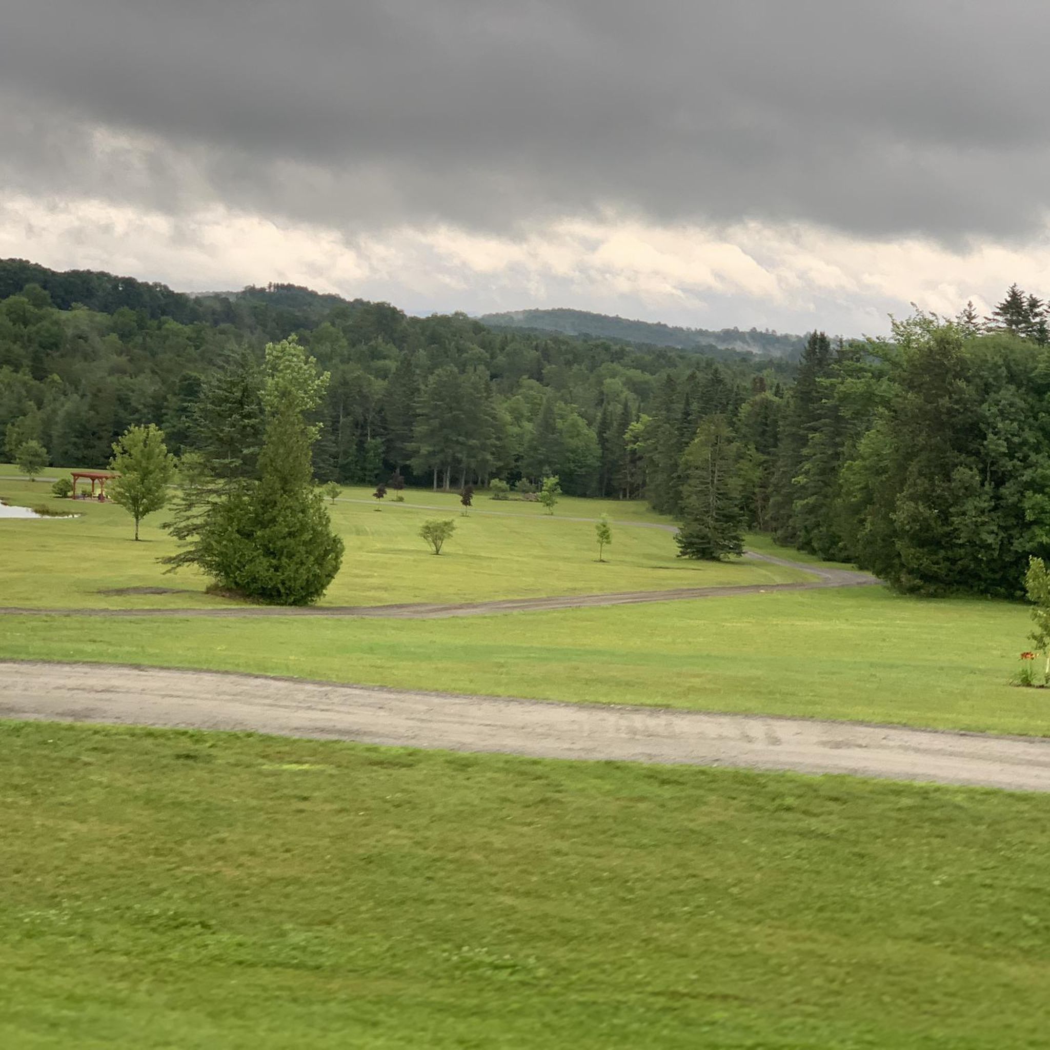
This rail trail has to be one of the best I’ve ever ridden. The surface is packed gravel and well kept. The landscape views are beautiful and the nearby scenery, such as the original train cut throughs are spectacular. Fun fun fun. Oh and it saves you riding on RT 2!
0
0
Frequently Asked Questions
How many road cycling routes are available around Danville?
Komoot offers 7 road cycling routes around Danville, catering to various skill levels. These routes navigate through diverse natural landscapes, including rolling hills and scenic valleys.
What kind of terrain and difficulty can I expect on road cycling routes in Danville?
Road cycling around Danville is characterized by diverse natural landscapes, including rolling hills and scenic valleys. You'll find a blend of open roads and designated bicycle lanes. Routes range from moderate, like the Wonderful Lamoille Rail Trail – Dole Hill loop, to more challenging options with significant elevation changes, such as the Littleton – Littleton Covered Bridge loop.
Are there any family-friendly road cycling options in Danville?
While many routes in the komoot guide are moderate to difficult, the region offers options like the Iron Horse Trail, which is fully paved, mostly shaded, and ideal for leisurely rides or family outings. The Downtown Danville Loop also features designated bike lanes, making it safe and accessible for beginners and families.
What are some scenic viewpoints or natural features I can see while road cycling in Danville?
Road cycling routes in Danville often feature stunning vistas of Mount Diablo, the San Ramon Valley, and picturesque countryside with ranches and vineyards. Mount Diablo State Park itself offers breathtaking panoramic views from its summit, and Las Trampas Wilderness Regional Preserve provides views of oak-studded hills and the East Bay hills.
What is the best time of year for road biking in Danville?
Danville is generally favorable for road cycling for much of the year. Spring and fall offer pleasant temperatures and beautiful scenery, with wildflowers abundant in spring. Summers can be warm, but early mornings are often ideal. Winters are typically mild, though checking weather forecasts for rain is always advisable.
Are there any loop routes for road cycling around Danville?
Yes, many of the routes around Danville are designed as loops. Examples from the komoot guide include the Wonderful Lamoille Rail Trail – Dole Hill loop, the Littleton – Littleton Covered Bridge loop, and the Wonderful Lamoille Rail Trail – Cross Country Road loop. The region also features popular local loops like the Livermore Loop and the challenging 'House of Pain Loop'.
Where can I find parking for road cycling routes in Danville?
Danville's cycling community benefits from convenient starting points, including Park & Ride stations. Specific parking details for individual routes can often be found in the route descriptions on komoot or by researching the starting points of trails like the Iron Horse Trail or Mount Diablo State Park.
What are some challenging road cycling routes near Danville?
For experienced riders seeking a challenge, routes like the Littleton – Littleton Covered Bridge loop, which covers over 130 miles with substantial elevation changes, are available. The region is also known for challenging local options such as the climb to the Mount Diablo Summit and the 'House of Pain Loop' through Livermore's rolling hills.
Can I find cafes or places for refreshments along road cycling routes in Danville?
Yes, downtown Danville offers various options for pit stops and refreshments. Many routes are designed to pass through or near town centers, allowing cyclists to enjoy local cafes, restaurants, and other amenities.
What do other road cyclists enjoy most about road cycling in Danville?
Road cyclists often praise Danville for its diverse routes, ranging from leisurely paved trails to challenging climbs, and the stunning scenic beauty of Mount Diablo, the San Ramon Valley, and picturesque countryside. The community-focused approach to cycling, including dedicated bike lanes and convenient starting points, also contributes to a positive experience.
Are there any less crowded road bike routes in Danville?
While popular routes like the Iron Horse Trail can see significant use, exploring some of the more challenging routes or those that venture into the less-traveled backroads of Livermore and the surrounding hills might offer a quieter experience. Routes like the Roadbike loop from Keiser Pond Access Area could provide a more secluded ride.
What are the typical lengths of road bike trails near Danville?
Road bike trails near Danville vary significantly in length. You can find shorter loops, such as the 10.2-mile Downtown Danville Loop, or longer, more challenging routes like the Littleton – Littleton Covered Bridge loop, which extends over 130 miles. Many routes, like the Wonderful Lamoille Rail Trail loop from Groton, fall in the 40-50 mile range.
Most popular routes around Danville

Get inspired with the komoot mobile app


Explore more
Browse the best Road cycling routes in other regions.
