The best road cycling routes around Area J (Lower Arrow/Columbia)
5.0
(1)
59
riders
5
rides
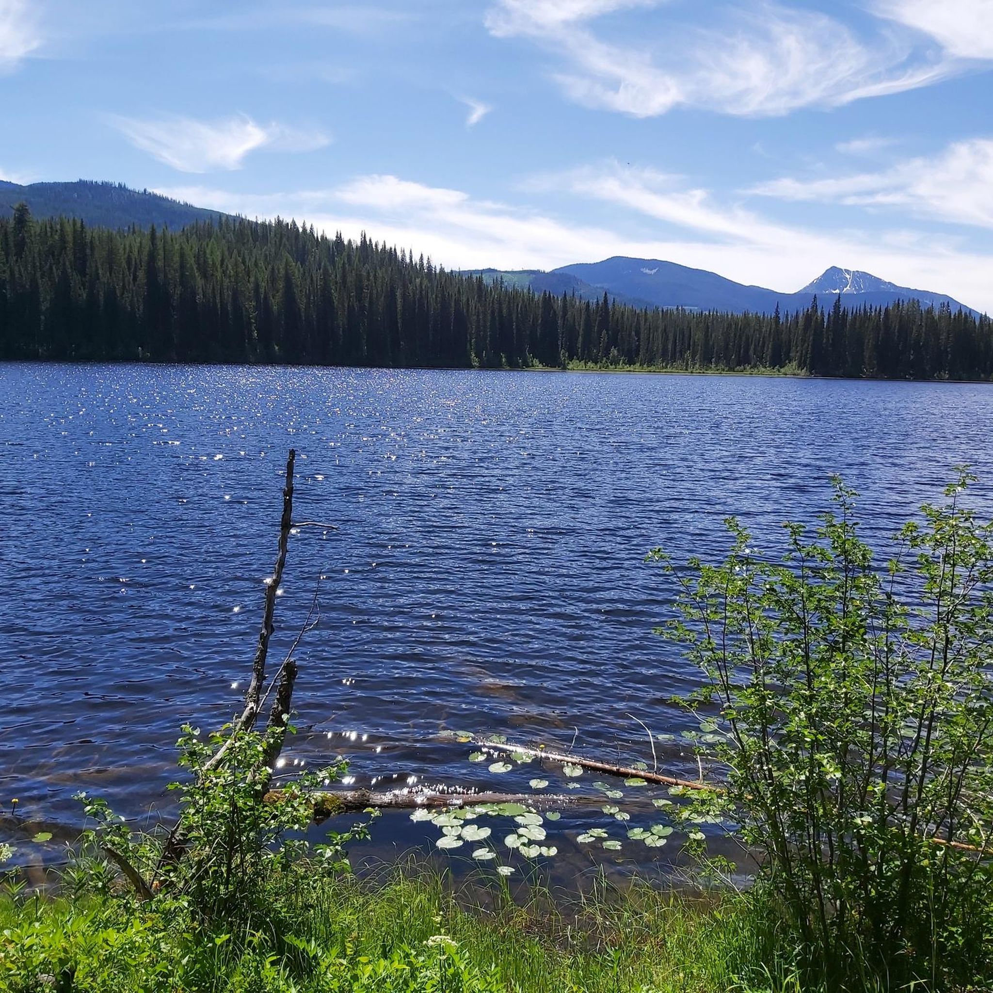
Road cycling routes around Area J (Lower Arrow/Columbia) traverse a diverse landscape situated between the Selkirk and Monashee Mountains in British Columbia. The region features the expansive Lower Arrow Lake, formed by the Columbia River, offering varied terrain for road cyclists. Routes include scenic paved roads along lake shores and segments of the Columbia and Western Rail Trail, which provides gentle gradients. This area is characterized by mountain backdrops, river valleys, and forested areas, suitable for different cycling preferences.
Best…
Last updated: October 14, 2026
5.0
(1)
15
riders
96.0km
04:33
1,150m
1,150m
Hard road ride. Very good fitness required. Mostly well-paved surfaces and easy to ride.
13
riders
51.0km
02:28
670m
670m
Moderate road ride. Good fitness required. Some segments of this route may be unpaved and difficult to ride.

7
riders
43.8km
01:59
460m
450m
Moderate road ride. Good fitness required. Some segments of this route may be unpaved and difficult to ride.
7
riders
52.9km
02:26
580m
570m
Moderate road ride. Good fitness required. Some segments of this route may be unpaved and difficult to ride.
3
riders
101km
05:03
1,640m
1,640m
Hard road ride. Very good fitness required. Mostly well-paved surfaces and easy to ride.
Our route recommendations are based on thousands of hikes, rides, and runs completed by other people on komoot.
Start today with a free account
Your next adventure awaits.
Popular around Area J (Lower Arrow/Columbia)

Tips from the Community

There are numerous MTB trails in Nelson. Some of the best known include Codgers Mountain Bike Park, Sharlands Forest and Kaiteriteri Mountain Bike Park.
2
0
Nelson was founded in 1841 and is one of the oldest cities in New Zealand. Its name comes from Admiral Horatio Nelson, hero of the Battle of Trafalgar.
3
1
Frequently Asked Questions
How many road cycling routes are available in Area J (Lower Arrow/Columbia)?
There are 6 road cycling routes available in Area J (Lower Arrow/Columbia) on komoot, offering a range of experiences from moderate to difficult. These routes traverse diverse landscapes, including lake shores, river valleys, and mountain backdrops.
What is the best time of year for road cycling in Area J?
The Lower Arrow/Columbia region is a popular summer destination, making summer an excellent time for road cycling. The weather is generally favorable, and the natural beauty, including snow-capped peaks in the distance, is at its peak. Always check local weather conditions before heading out.
What kind of terrain can I expect on road cycling routes in Area J?
You can expect a diverse range of terrain. Many routes feature scenic paved roads, particularly along the north side of Lower Arrow Lake. The region also includes segments of the Columbia and Western Rail Trail, which offers gentler gradients on natural surfaces. Routes vary from mostly paved to those with unpaved sections, so checking individual route details is recommended.
Are there any easy road cycling routes suitable for beginners or families?
Yes, there is 1 easy road cycling route available in Area J. While specific family-friendly routes are not detailed, the Columbia and Western Rail Trail, with its gentle gradients, is generally accessible for a wide range of cyclists, including those looking for a less strenuous ride. For a moderate option, consider the Kootenay River – Crescent Valley Beach loop from Castlegar, which is 52.8 km long.
Are there any challenging road cycling routes for experienced riders?
Absolutely. Area J offers 2 difficult road cycling routes for those seeking a challenge. The longest and most demanding is the Nelson loop from Kinnarid Park Parking, which spans 139.6 km with over 2,000 meters of elevation gain. Another difficult option is the Nelson loop from West Kootenay Regional Airport, covering 96.0 km with significant elevation.
What unique features might I encounter on road cycling routes in Area J?
A unique and scenic element of cycling in Area J is the opportunity to incorporate free ferry crossings across the Arrow Lakes. These ferries can break up your ride, offering different perspectives of the landscape and a chance to rest while enjoying the water.
What can I see along the road cycling routes in Area J?
The routes offer stunning natural beauty, including views of the Lower Arrow Lake, the Columbia River, and the dramatic Selkirk and Monashee Mountains. You might also spot local wildlife like bighorn sheep. Notable points of interest include the Columbia and Western Rail Trail, the Bulldog Tunnel, and the Brilliant Suspension Bridge.
Are there any historical or cultural points of interest along the routes?
Yes, the region has a rich history. You can explore sites like the Brooklyn Historical Site. The area also has Indigenous heritage and a significant Doukhobor community in Castlegar, adding a cultural dimension to your cycling experience.
Are there any rail trails suitable for road cycling in the region?
Yes, the Columbia and Western Rail Trail is a significant draw for cyclists in Area J. This 160-kilometer trail follows an old railway line, providing relatively gentle gradients and guiding riders through scenic, often remote areas. It also passes through former pioneer towns, offering convenient access to amenities.
Where can I find parking for road cycling routes in Area J?
Many trailheads and provincial parks in the region, such as Arrow Lakes Provincial Park, offer parking facilities. For specific routes, it's advisable to check the route details on komoot, as starting points often indicate available parking, such as the Nelson loop from Kinnarid Park Parking.
Can I find cafes or places to refuel along the road cycling routes?
The Columbia and Western Rail Trail, for example, passes through small, former pioneer towns where you can find food and water. Larger towns like Castlegar also offer cafes and other amenities. Planning your route with potential stops in mind is always a good idea.
What do other road cyclists enjoy most about road cycling in Area J (Lower Arrow/Columbia)?
The area is highly rated by the komoot community, with an average score of 5.0 stars. Cyclists often praise the stunning mountain and lake scenery, the diverse range of routes for different abilities, and the unique experience of riding along historical rail trails and incorporating free ferry crossings.
Most popular routes around Area J (Lower Arrow/Columbia)
Most popular attractions around Area J (Lower Arrow/Columbia)

Get inspired with the komoot mobile app


Explore more
Browse the best Road cycling routes in other regions.
