The best running trails around Area A (Upper Flathead/Elk Valley)
5.0
(2)
77
runners
10
runs
Jogging around Area A (Upper Flathead/Elk Valley) offers diverse landscapes within the Canadian and US Rockies, characterized by mountain vistas, forests, and river valleys. This region, encompassing the Elk Valley in British Columbia and the Upper Flathead Valley, features extensive trail networks suitable for running. The terrain varies from low-lying wetlands and river paths to steep, forested uplands and mountain trails. Joggers can explore routes along the Elk River, through mixed grassland-forest areas, and near large freshwater lakes.
Best jogging…
Last updated: October 14, 2026
5.0
(1)
15
runners
18.9km
03:23
1,350m
1,350m
Hard run. Very good fitness required. Mostly paved surfaces. Suitable for all skill levels.
24
runners
6.48km
00:42
30m
30m
Moderate run. Good fitness required. Mostly paved surfaces. Suitable for all skill levels.

5.0
(1)
9
runners
8.68km
00:58
30m
30m
Moderate run. Good fitness required. Mostly paved surfaces. Suitable for all skill levels.
6
runners
13.4km
01:26
90m
90m
Moderate run. Good fitness required. Mostly paved surfaces. Suitable for all skill levels.
4
runners
11.4km
01:25
190m
190m
Moderate run. Good fitness required. Mostly paved surfaces. Suitable for all skill levels.
Get access to more routes and recommendations from other explorers.
Already have an account?
Our route recommendations are based on thousands of hikes, rides, and runs completed by other people on komoot.
Start today with a free account
Your next adventure awaits.
Popular around Area A (Upper Flathead/Elk Valley)
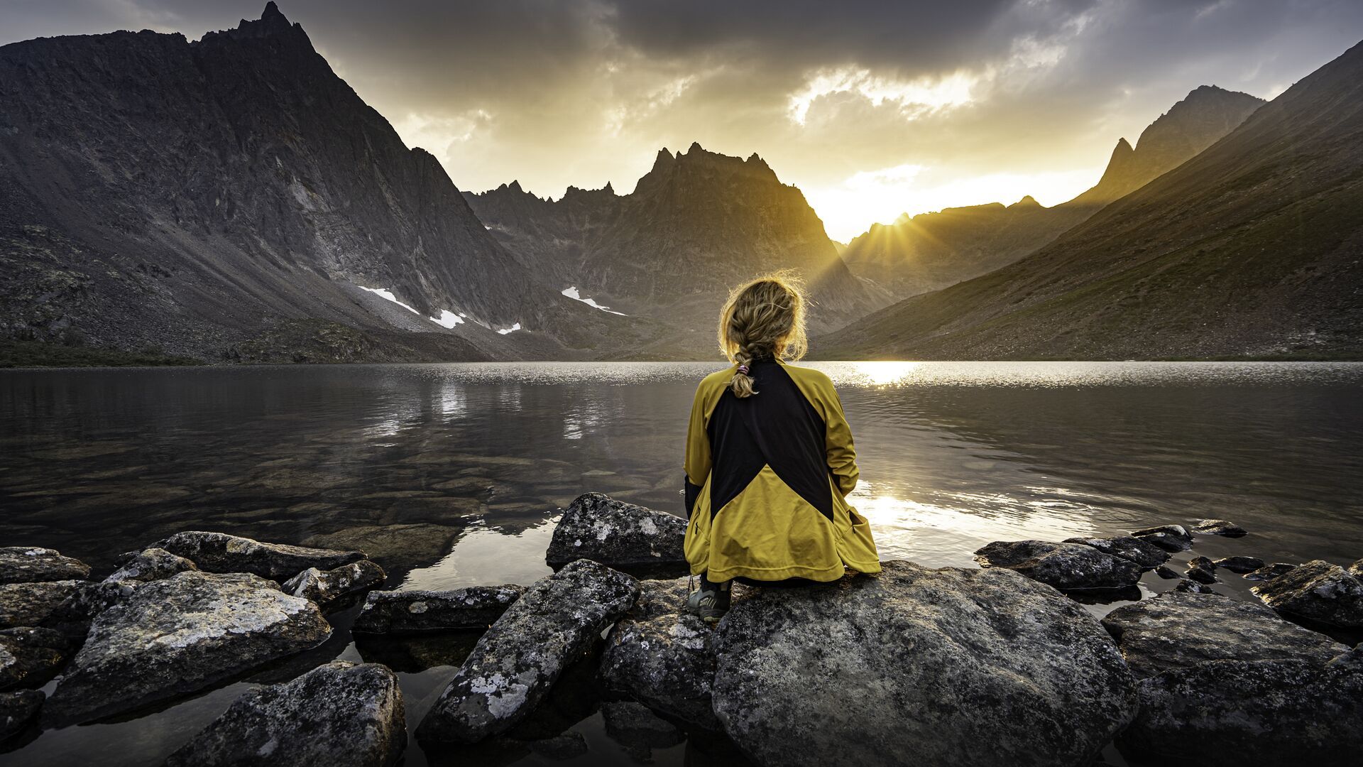
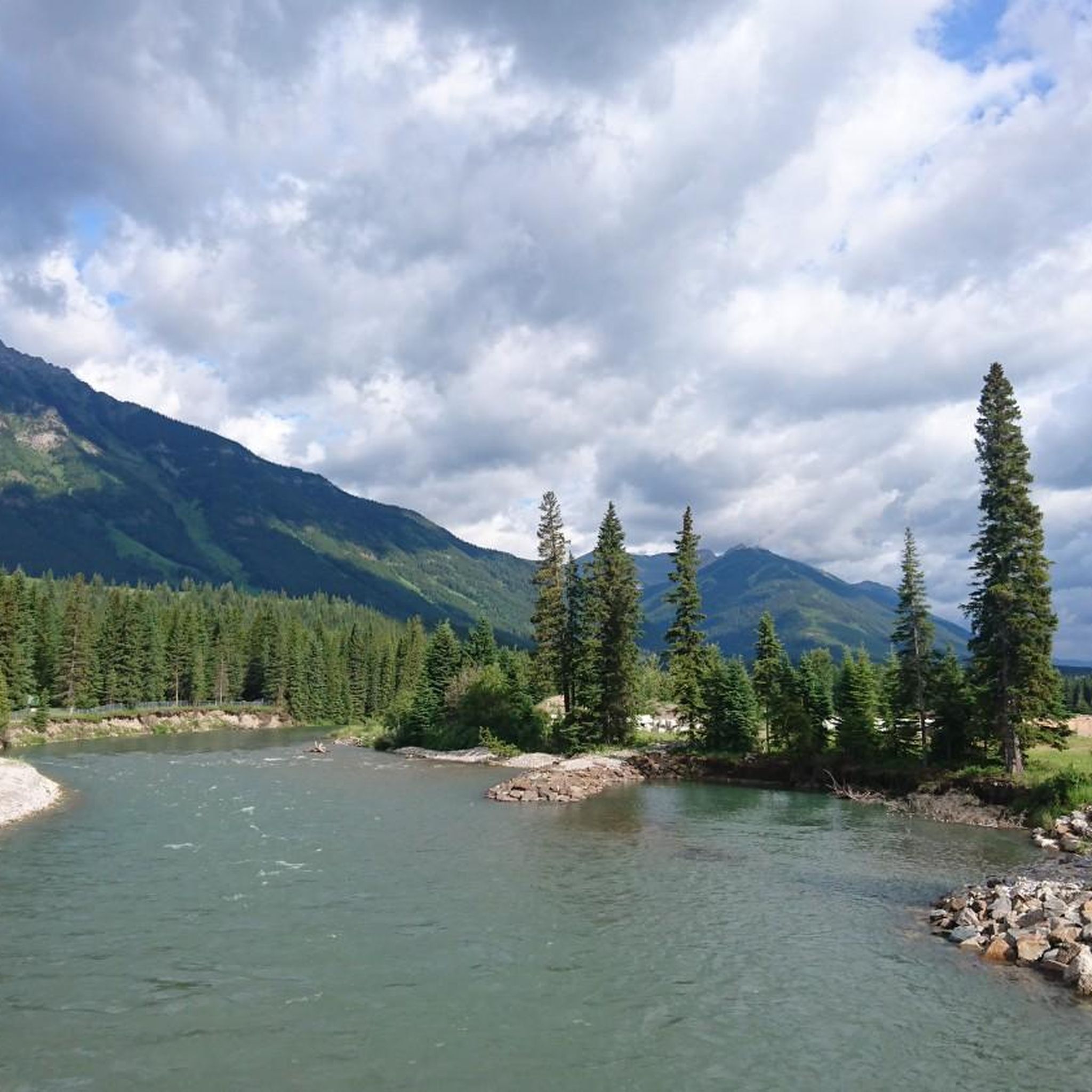
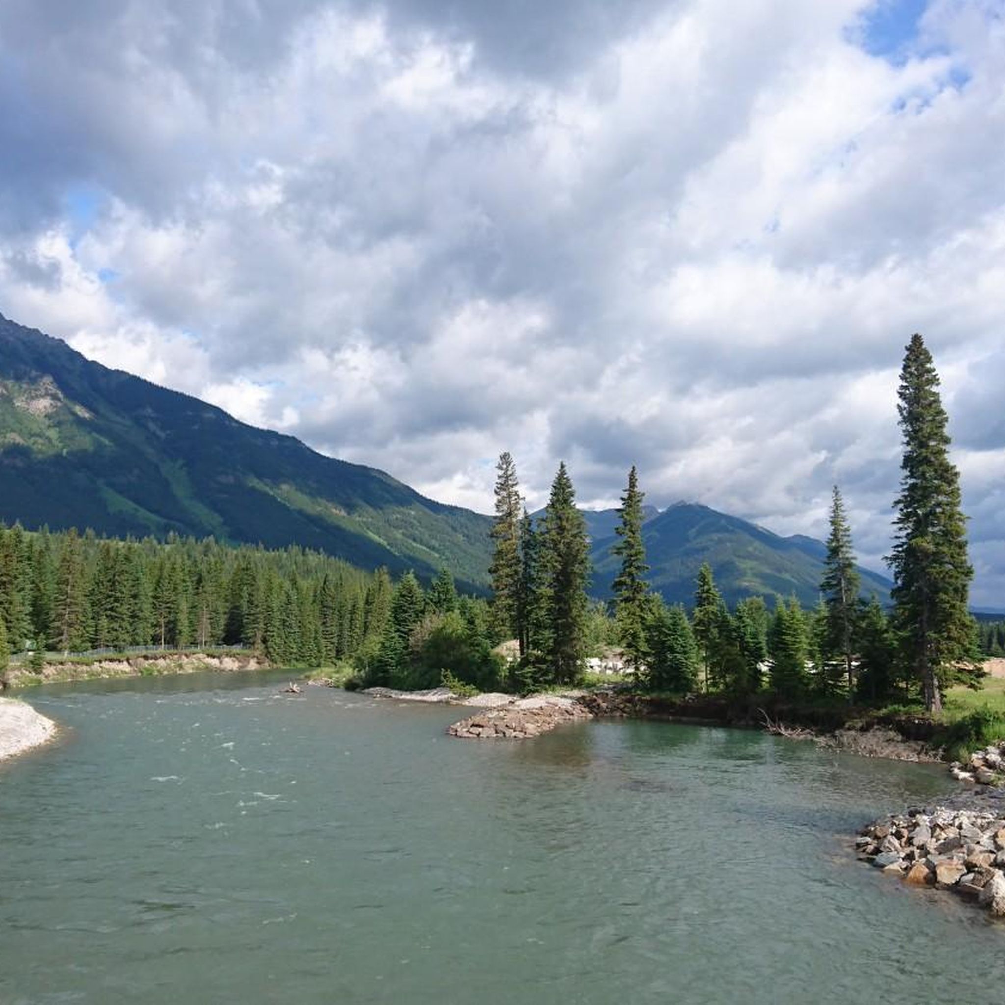
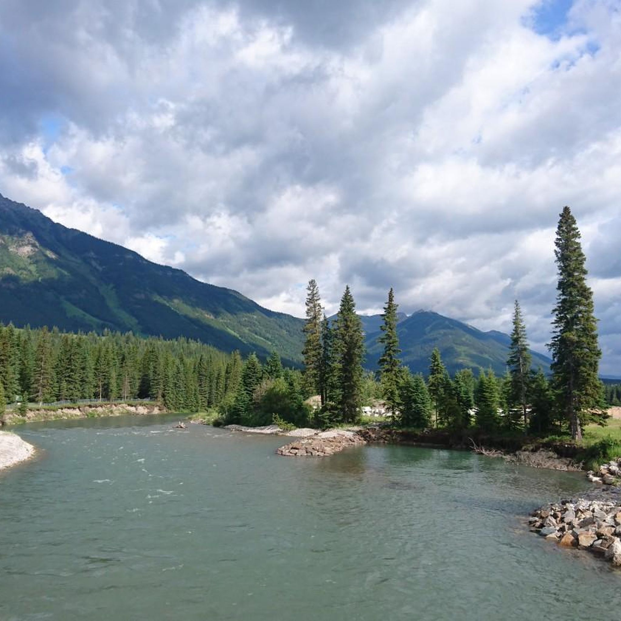
Other adventures around Area A (Upper Flathead/Elk Valley)

Tips from the Community

James White Park is a very nice local park that has a couple of walking trails connecting to the Town Loop trail, tennis courts, baseball diamonds, and open green space.
0
0
The southern end of the Town Loop trail ends here on Pine Avenue with a very nice view of Coal Creek. From here there is a path that continues to the east connecting to the Montane Trails.
0
0

Hidden in the forest on the lower slopes of Mount Proctor, Fairy Creek Falls is one of Fernie's most accessible waterfalls. Fairy Creek tumbles over a rocky ledge into a narrow gorge, creating a picturesque cascade surrounded by mossy forest and steep canyon walls.
0
0
Mount Proctor Trail climbs steadily through dense forest before emerging onto open slopes and rocky terrain high above Fernie. The route is known for its sustained elevation gain and rewarding views, making it one of the area's classic summit hikes. As you climb, the forest gives way to increasingly expansive views of the Elk Valley, surrounding mountain ranges, and the town of Fernie far below.
0
0
Montane Blue is one of the easier trails within Fernie’s Montane Trail Network, winding through open Douglas fir forest and grassy hillsides on the lower slopes of Castle Mountain. The mostly smooth singletrack makes for a pleasant walking route, while frequent openings in the trees reveal views across the Elk Valley and surrounding peaks. Wildflowers are common along the trail in summer, and the gentle gradients make it a good introduction to the wider Montane network before tackling the steeper trails higher up.
0
0

The Elk River flows 220 kilometres until reaching the Lake Koocanusa reservoir by the U.S.-Canada border. It is managed as a "Quality Waters Fishery," which is open to fishing with certain regulations so as to help with larger, healthier fish populations. There's also summer rafting, with rapids near Fernie, and a mellower river float.
0
0
Fernie is a little mountain town, home to year-round outdoor activity. In winter there's the Fernie Alpine Resort for skiing and snowboarding, and in summer there's downhill biking, hiking, and resort activities. Fernie has a population under 10,000 people, and it has a charming downtown to explore.
0
0
Frequently Asked Questions
How many running routes are available in Area A (Upper Flathead/Elk Valley)?
Komoot features over 10 dedicated running routes in Area A (Upper Flathead/Elk Valley). These routes offer a variety of experiences, from easy riverside paths to challenging mountain ascents, catering to different skill levels.
What kind of terrain can I expect on jogging trails in the Upper Flathead and Elk Valley regions?
The terrain varies significantly across this cross-border region. In the Elk Valley, you'll find low-lying wetlands, mixed grassland-forest areas, and steep, forested uplands. The Upper Flathead Valley offers paths along rivers, through forests, and into mountain ranges like the Salish, Whitefish, Swan, and Mission Mountains. You can find everything from mostly flat paths to uneven trails with small hills, and even steep sections with rocks and roots.
Are there any easy running routes suitable for beginners in Area A?
Yes, there are easy running options. For instance, the Boat Launch and Outhouse loop from Fernie is a moderate 4.0-mile path with relatively flat terrain along the Elk River, making it suitable for a quicker, less strenuous run. The region generally offers paths for all abilities.
Can I find long-distance running trails in the Elk Valley?
Absolutely. The Elk Valley is home to sections of the extensive Elk Valley Trail, which is part of the larger Great Trail (Trans Canada Trail). This multi-use trail spans 198 kilometers, connecting communities like Elkford, Sparwood, Fernie, and Elko, offering incredible mountain and valley views for longer runs.
What are some scenic running routes in the Elk Valley?
Many routes in the Elk Valley offer stunning scenery. The Elk River – Coal Creek loop from Fernie is a beautiful 7.1-mile trail that leads through river valleys and forested areas. The Elk Valley Trail itself provides continuous mountain and valley views along the Elk River.
Are there any running routes that feature waterfalls or lakes?
Yes, the region is rich in natural beauty. While jogging, you might encounter areas near various lakes such as Summit Lake, Cameron Lake, or Window Mountain Lake. For waterfalls, consider routes that pass near highlights like Turret Falls or Allison Creek Falls.
What do other runners say about jogging in Area A (Upper Flathead/Elk Valley)?
Over 70 runners have used komoot to explore the varied terrain of Area A (Upper Flathead/Elk Valley). They often praise the diverse landscapes, from river paths to challenging mountain trails, and the stunning natural beauty of the Canadian and US Rockies.
Are there any challenging running routes for experienced runners?
For experienced runners seeking a challenge, the Mount Procter – Fairy Creek Falls loop from Fernie Historic Oil Derrick is an excellent choice. This difficult 11.8-mile trail features significant elevation gain and offers rewarding mountain views.
Are there any loop running trails in the Elk Valley?
Yes, several loop trails are available. Besides the previously mentioned Elk River – Coal Creek loop from Fernie, you can also explore the Fernie, BC – Boat Launch and Outhouse loop from Fernie, which is a moderate 8.3-mile option.
What are some notable natural features or landmarks I might see while running in the Upper Flathead Valley?
The Upper Flathead Valley is bordered by impressive mountain ranges like the Salish, Whitefish, Swan, and Mission Mountains. You'll also find the iconic Flathead Lake, the largest natural freshwater lake west of the Mississippi, and the Flathead River. Trails often provide views of these majestic features and the surrounding lush forests.
Are there family-friendly running trails in the Upper Flathead Valley?
The Flathead Valley offers hundreds of miles of trails, with options suitable for all levels. Areas like Herron Park, Lone Pine State Park, and sections of the Whitefish Trail System provide numerous trails that can be enjoyed by families, often featuring easier paths and scenic views.
What is the best time of year for running in Area A (Upper Flathead/Elk Valley)?
The region offers year-round outdoor activities. However, late spring through early fall (May to October) generally provides the most favorable conditions for running, with warmer temperatures and less snow, making most trails accessible. Always check local conditions, especially for higher elevation trails, as seasonal considerations like snowmelt or early snowfall can affect accessibility.
Most popular routes around Area A (Upper Flathead/Elk Valley)
Most popular attractions around Area A (Upper Flathead/Elk Valley)

Get inspired with the komoot mobile app


Explore more
Browse the best Running Trails & Routes in other regions.
