Routes

Planner

Features

Updates

App

Login or Signup

Get the App

Login or Signup

Routes
Running Trails
Canada
British Columbia

Area G (Forster Creek/Mount Assiniboine)

Routes
Running Trails
Canada
British Columbia

Area G (Forster Creek/Mount Assiniboine)

The best running trails around Area G (Forster Creek/Mount Assiniboine)

4.5

(2)

77

runners

6

runs

Jogging routes around Area G (Forster Creek/Mount Assiniboine) traverse a magnificent alpine environment within Mount Assiniboine Provincial Park, a UNESCO World Heritage site. The region is characterized by glacier-clad mountains, towering peaks, and vast wildflower meadows, providing a dramatic backdrop for running. Trails range from gentle paths through larch forests and open meadows to more demanding routes with significant elevation gain. The remote nature of the park ensures a pristine backcountry experience for runners.

Best jogging routes around Area G…

Last updated: August 20, 2026

17

runners

#1.

Floe Lake loop from Floe Lake / Ball Pass Trailhead

19.9km

02:30

820m

820m

Hard run. Very good fitness required. Mostly paved surfaces. Suitable for all skill levels.

Navigate with device

Send to Phone

Save

Hard

16

runners

25.0km

03:35

1,040m

1,040m

Hard run. Very good fitness required. Mostly paved surfaces. Suitable for all skill levels.

Hard
guide_signup
Let us show you the way with the komoot mobile app
With a free komoot account, you can easily find, customize, and navigate endless outdoor adventures.

Sign up for free

Easy run. Great for any fitness level. Mostly paved surfaces. Suitable for all skill levels.

Easy

Moderate run. Good fitness required. Mostly paved surfaces. Suitable for all skill levels.

Moderate

Moderate run. Good fitness required. Mostly paved surfaces. Suitable for all skill levels.

Moderate

Our route recommendations are based on thousands of hikes, rides, and runs completed by other people on komoot.

Start today with a free account

Your next adventure awaits.

Login or Signup

Popular around Area G (Forster Creek/Mount Assiniboine)
Hiking around Area G (Forster Creek/Mount Assiniboine)
MTB Trails around Area G (Forster Creek/Mount Assiniboine)
Cycling around Area G (Forster Creek/Mount Assiniboine)

Tips from the Community

Philipp Leberer
September 3, 2019, Floe Lake

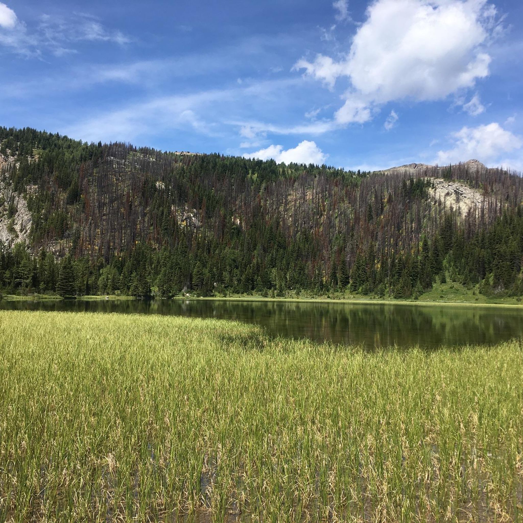
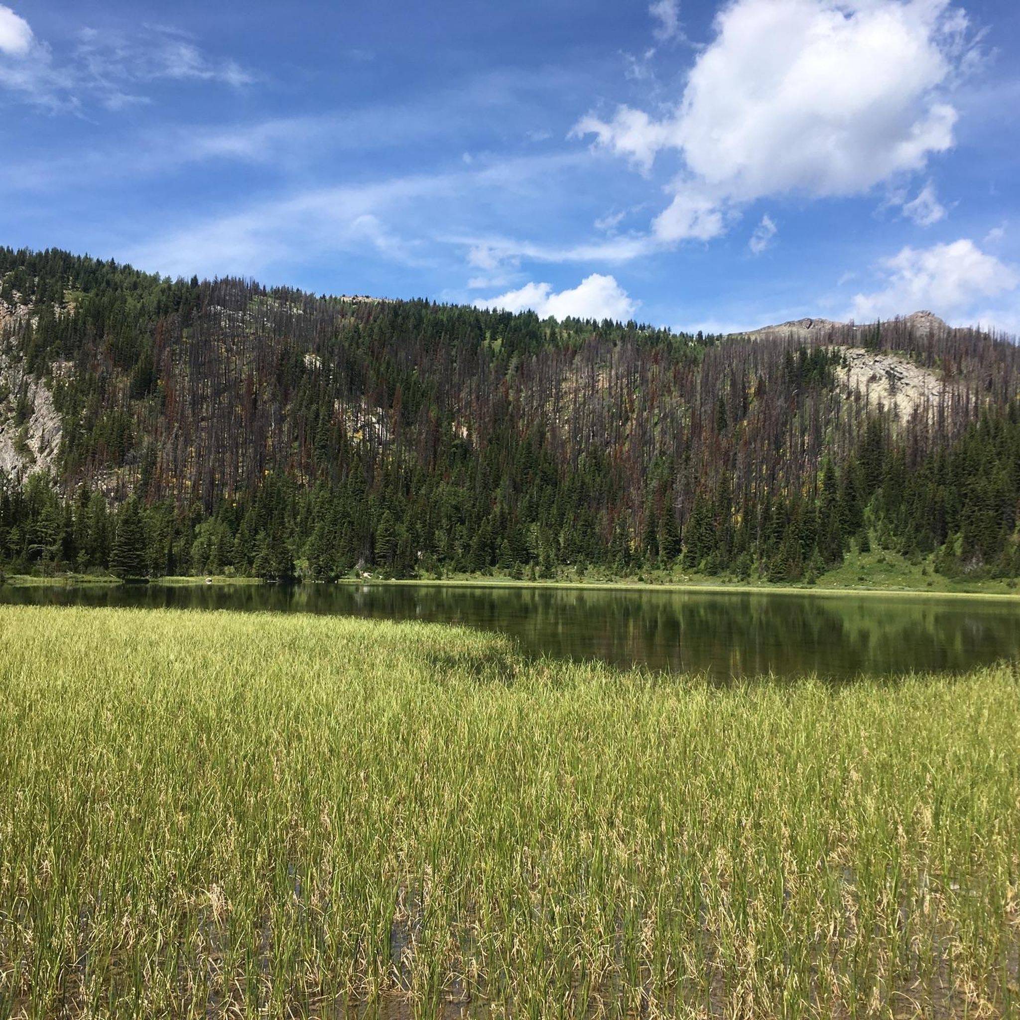
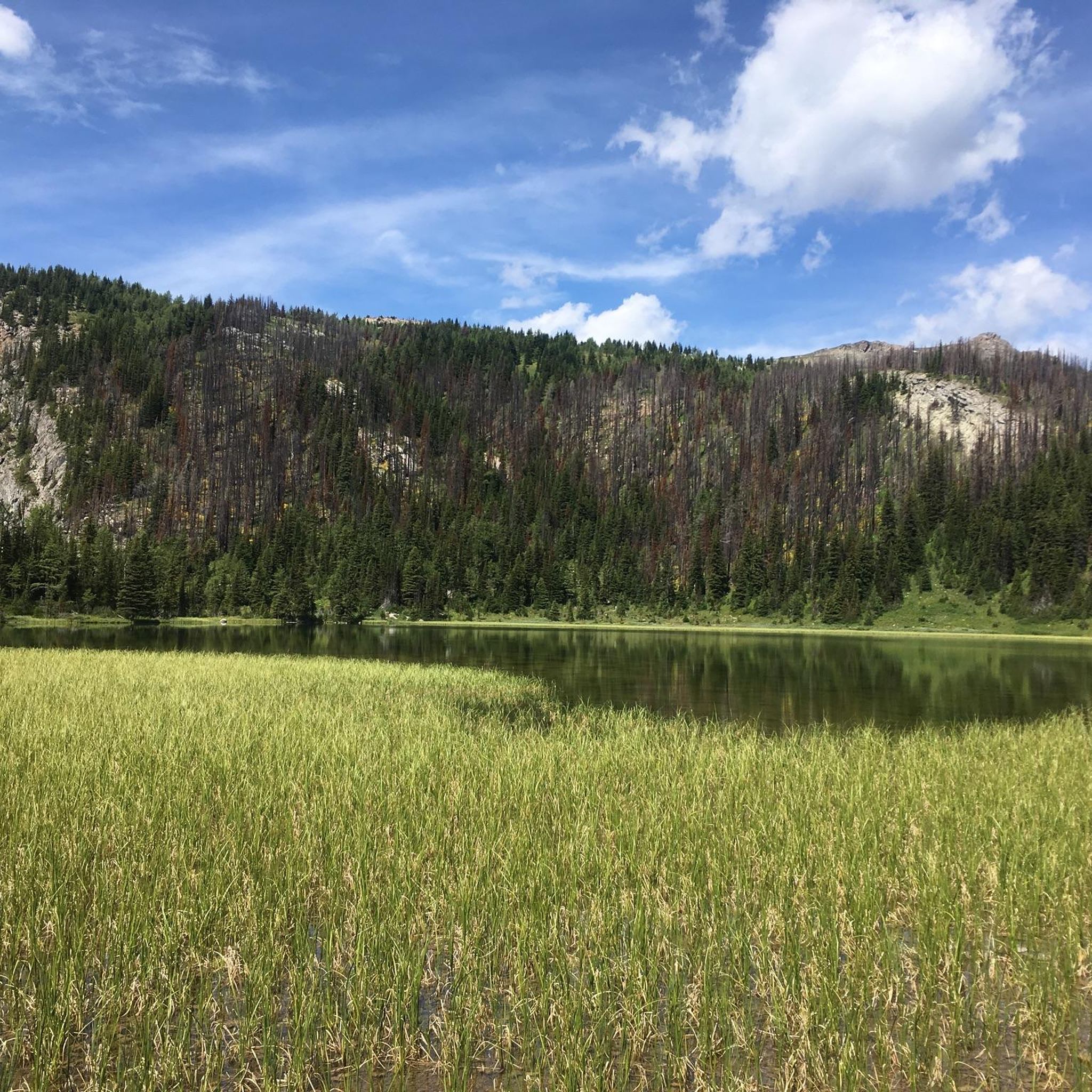
gorgeous Alpine lake with glacier

0

0

One of three lakes in the Sunshine Meadows with crystal clear water against a magnificent mountain backdrop. This one has a small island in the middle.

Translated by Google

3

0

Frequently Asked Questions

What types of running trails can I find in Area G (Forster Creek/Mount Assiniboine)?

Area G offers a diverse range of running trails, from easy, shorter loops suitable for beginners to challenging, long-distance routes with significant elevation gain. You'll find paths through alpine meadows, larch forests, and demanding mountain passes, all set against a backdrop of glacier-clad mountains and towering peaks.

Are there any easy jogging routes suitable for beginners or a quick run?

Yes, for an easier run, consider the Running loop from Panorama Mountain Village, which is about 4.9 km with minimal elevation gain. Another similar option is the Running loop from Panorama Mountain Village, approximately 4.5 km. These are great for a relaxed jog or a warm-up.

What are some challenging long-distance running trails in the Mount Assiniboine area?

For experienced trail runners seeking a challenge, the Floe Lake loop from Floe Lake / Ball Pass Trailhead is a difficult 19.9 km route with over 800 meters of ascent. Another demanding option is the Healy Pass loop from Goat's Eye Lake, a 25.0 km path featuring over 1000 meters of elevation gain through high mountain passes.

Can I find moderate running trails in Area G?

Absolutely. A popular moderate option is the Rock Isle Lake loop from Mount Standish. This 6.8 km route offers a good workout with over 200 meters of elevation gain, providing a balance between challenge and accessibility.

What kind of natural features or landmarks can I expect to see while running in this region?

The region is renowned for its stunning natural beauty. You can expect to see iconic peaks like Mount Assiniboine, often called the 'Matterhorn of the Canadian Rockies.' Trails often pass by shimmering alpine lakes such as Moraine Lake, and through vibrant wildflower meadows, especially in areas like Sunshine Meadows. Don't miss the unique Paint Pots, cold mineral springs with colorful pools.

Are there any viewpoints or scenic spots along the running routes?

Many trails offer incredible panoramas. For instance, routes leading to Wonder Pass provide stunning views through larch forests and open meadows, including vistas of Marvel Lake. You might also encounter viewpoints like View of Lake Louise from the Big Beehive or Sentinel Pass, offering breathtaking mountain scenery.

What do other runners say about the jogging routes in Area G (Forster Creek/Mount Assiniboine)?

The running routes in Area G are highly regarded by the komoot community, holding an average score of 5.0 stars. Runners frequently praise the pristine backcountry experience, the dramatic mountain backdrops, and the variety of trails catering to different fitness levels.

What is the best time of year for trail running in Mount Assiniboine Provincial Park?

The best time for trail running in Mount Assiniboine Provincial Park is typically during the summer and early autumn months (July to September). During this period, trails are generally snow-free, wildflowers are in bloom, and the weather is most favorable for outdoor activities. However, always check current conditions as alpine weather can change rapidly.

Is public transport available to access the trailheads in Mount Assiniboine Provincial Park?

Mount Assiniboine Provincial Park is quite remote with no direct road access. Land access is primarily via hiking, cross-country skiing, or helicopter. This ensures a pristine backcountry experience, but means you'll need to plan your approach carefully, often involving a significant hike or shuttle service to reach the park's boundaries before starting your run.

Are permits or reservations required to run in Mount Assiniboine Provincial Park?

Yes, due to its location within Mount Assiniboine Provincial Park, permits are often required for overnight stays and sometimes for day use in certain areas, especially during peak season. It's crucial to check the official park regulations and make any necessary reservations well in advance. For detailed information on park access and regulations, you can visit Wikivoyage's guide to Mount Assiniboine Provincial Park.

Are there any circular running routes in the area?

Yes, many of the trails in Area G are designed as loops, offering a continuous running experience without retracing your steps. Examples include the Floe Lake loop and the Healy Pass loop, which are popular for their scenic circular paths through the alpine landscape.

What should I be aware of regarding wildlife while running in Area G?

Area G is home to diverse wildlife, including bears, elk, and various smaller mammals. It's essential to be bear-aware, carry bear spray, and know how to use it. Make noise while running, especially in dense vegetation, and never approach wildlife. Always store food securely and pack out all your trash to minimize human-wildlife conflict.

Most popular routes around Area G (Forster Creek/Mount Assiniboine)

Hiking around Area G (Forster Creek/Mount Assiniboine)

Most popular attractions around Area G (Forster Creek/Mount Assiniboine)

Lakes

Store rating

Get inspired with the komoot mobile app

With a free komoot account, you can easily find, customize, and navigate endless outdoor adventures.

or

Join komoot Now

Store rating

Explore more

Browse the best Running Trails & Routes in other regions.

Coast MountainsVancouverStanley Park National Historic SiteSelkirk MountainsElectoral Area AArea C (Pemberton Valley/Mount Currie/D'Arcy)Rocky MountainsMetro Vancouver Regional ParksLower Seymour Conservation ReserveVictoriaVancouver IslandVictoria Harbour Migratory Bird SanctuaryBlackcomb Glacier Provincial ParkAlberni-ClayoquotEast Central Okanagan Electoral AreaArea D (Elaho/Garibaldi)SaanichMonashee MountainsBurnabyCypress Provincial ParkOkanagan LakePacific Spirit Regional ParkCentral Okanagan JTantalus Provincial ParkCapilano WatershedStawamus Chief Provincial ParkBrackendale Eagles Provincial ParkMount Seymour Provincial ParkGaribaldi Provincial ParkPacific Rim National Park Reserve - Long Beach UnitNanaimoArea P (Rivers and the Peaks)Oak Bay Islands Ecological ReserveBuntzen Lake Recreation AreaRichmondGrouse Mountain Regional ParkLynn Headwaters Regional ParkLangleyArea A (Kicking Horse/Kinbasket Lake)Area E (Chilliwack River Valley)Burnaby Lake Regional ParkThwaytes Landing Regional ParkCoquitlam WatershedArea B (Shelter Bay/Mica Creek)Burns Bog Ecological Conservancy AreaArea C (Arrowsmith-Benson)Area L (Grasslands)Eagle Mountain Recreation SiteIona Beach Regional ParkVargas Island Provincial ParkDawley Passage Provincial ParkAlaksen National Wildlife AreaShowh Lakes-Ancient Cedars Trail Recreation SiteCapilano River Regional ParkSurreyArea B (South Fraser Canyon/Sunshine Valley)Kanaka Creek Regional ParkColony Farm Regional ParkWhistler Interpretive ForestPinecone Burke Provincial ParkGeorge C. Reifel Migratory Bird SanctuaryTəmtəmíxʷtən/Belcarra Regional ParkComox Valley B (Lazo North)Area A (Baynes Sound)Fraser River Delta -- RamsarNorth Okanagan BSurrey Bend Regional ParkBrandywine Falls Provincial ParkBrohm Lake Interpretive Forest TrailsDeas Island Regional ParkSooke Hills Wilderness Regional ParkMaple RidgeNorth CowichanBrohm Lake Day Use Recreation SitePitt LakeȽáu,Welṉew̱/John Dean Provincial ParkCariboo MountainsArea J (Copper Desert Country)Satellite Channel Ecological ReserveNorth SaanichCentral SaanichAlice Lake Provincial ParkOkanagan-Similkameen DAlouette LakeBlue Mountain Recreation SiteHillkeep Regional ParkYoho National ParkGoldstream Provincial ParkK'Ómoks Royston LandsArea B (Shawnigan Lake)Purcell MountainsBurnaby Mountain Conservation AreaDeltaStave West Forest & Recreation AreaNorth Cowichan Municipal Forest ReserveArea C (Puntledge/Black Creek)Nanaimo EArea F (McConnell Creek/Hatzic Prairie)Fraser Islands Regional Park ReserveCapital GBlaney Bog Regional Park ReserveAbbotsfordGolden Ears Provincial ParkUbc Malcolm Knapp Research ForestLiumchen Ecological ReserveBear Creek Provincial ParkArea E (Balfour/Cottonwood Lake)E.C. Manning Provincial ParkArea G (Deroche/Dewdney/Sumas Mountain)Skaha Bluffs Provincial ParkSea To Sea Regional ParkSooke Mountain Provincial ParkPitt MeadowsMt. Macpherson Cross-Country Trails Recreation SiteMount Tuam Ecological ReserveBurgoyne Bay Provincial ParkArea H (Manning Park/Tulameen/Siwash)Cougar Canyon Ecological ReserveMount Revelstoke National ParkBowen Island Ecological ReserveCrippen Regional ParkArea C (Chilako River/Nechako)Nairn Falls Provincial ParkSalt Spring Island Electoral AreaGowlland Tod Provincial ParkGlen Valley Regional ParkVedder Mountain Interpretative ForestTynehead Regional ParkWest Arm Provincial ParkArea F (Alberni Highway)Area C (Moyie/Bull River)Stebbings Road Community ForestAyum Creek Regional Park ReserveSumas Mountain Regional ParkMinnekhada Regional ParkSeal Bay Regional Nature ParkArea D (Trinity/West Creighton)Owl Lake Recreation ReserveMill Farm Regional Park ReserveEpper Passage Provincial ParkRobert'S Lake Regional ParkMt Begbie Area Recreation SiteOkanagan Mountain Provincial ParkArea A (Upper Flathead/Elk Valley)Mount Maxwell Ecological ReserveMount Maxwell Provincial ParkSunshine Coast Regional DistrictStephens Coyote Ridge Regional ParkMount Gardner Recreation SiteCultus Lake Provincial ParkWells Gray Provincial ParkArea A (Wells Gray Country)Area D (Tabor Lake/Stone Creek)Nanaimo GBoundary Bay Regional ParkMount Fernie Provincial ParkMount Begbie Recreation SiteArea D (Oyster Bay/Buttle Lake)Area E (Naramata/Greyback)Area G (Salmo Valley)Area F (Trout Creek Valley)Kalamalka Lake Provincial ParkUpper Puntledge River WoodlandsUpper Trent River WoodlandsCrown Land ReserveCampbell Valley Regional ParkArea H (Lighthouse Country)Cowichan Valley FArea F (Willow River/Upper Fraser)SpallumcheenCodd Wetland Ecological Conservancy AreaWidgeon Marsh Regional Park ReserveTsable Lakes WoodlandsCowichan Valley GKootenay National ParkRuckle Provincial ParkArea A (Salmon River/Lakes)Area B (Lake Koocanusa)Myra-Bellevue Provincial ParkFraser River Ecological ReserveWilliams Beach ForestRace Rocks Ecological ReserveArea C (Inkaneep/Willowbrook)Upper Qualicum River WoodlandsElk Falls Provincial ParkEllison Provincial ParkArea A (Osoyoos Lake)Area H (Canim Lake/Forest Grove)Fraser Valley DArea B (Discovery Islands/Mainland Inlets)Beaver Lodge Forest LandsStrathcona Provincial ParkSilver Star Provincial ParkTrinity Ricardo Trail Recreation SiteBodega Ridge Provincial ParkRathtrevor Beach Provincial ParkSeymour WatershedMount Richardson Provincial ParkBeaufort East WoodlandsArea E (Saint Mary/Skookumchuck)Cowichan River Provincial ParkArea A (Kyuquot/Nootka/Sayward)Area C (Sasquatch Country)Telemark Cross-Country Ski Trails Recreation SiteArea F (Columbia Lake/Windermere Lake)Helliwell Provincial ParkBoyle Point Provincial ParkMount Geoffrey Escarpment Provincial ParkArea B (Lower Columbia/Old Glory)Spipiyus Provincial Park

Nearby adventure guides

Things to Do in Kootenay National Park

background

Get ready to conquer new peaks

Sign up for Free

Explore
RoutesRoute plannerFeaturesRedeem a voucherHikesMTB TrailsRoad cycling routesBikepackingSitemap
Download the app
Follow Us on Socials

© komoot GmbH

Privacy Policy
