The best mountain hikes around Aurel
5.0
(3)
26
hikers
3
hikes
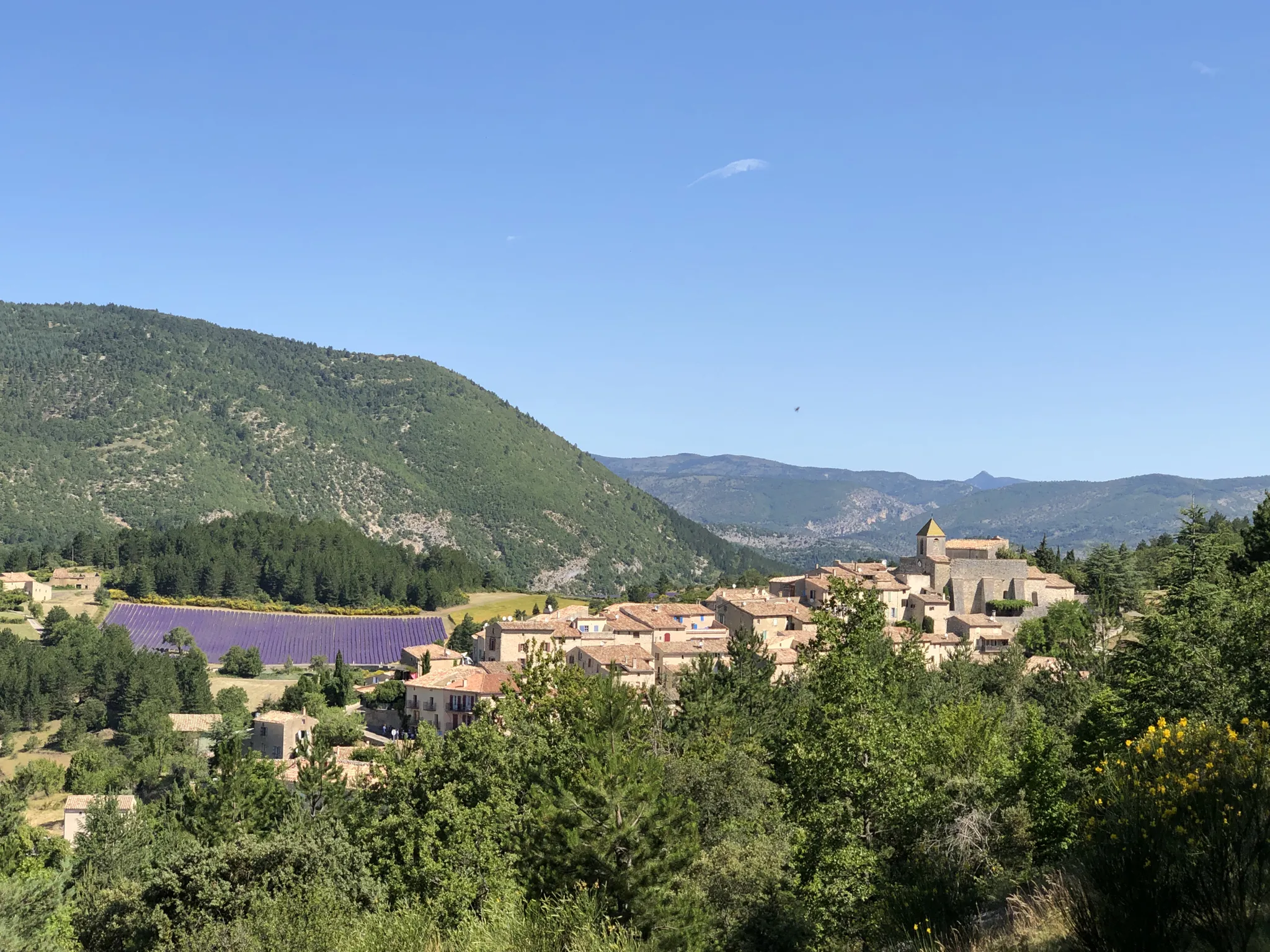
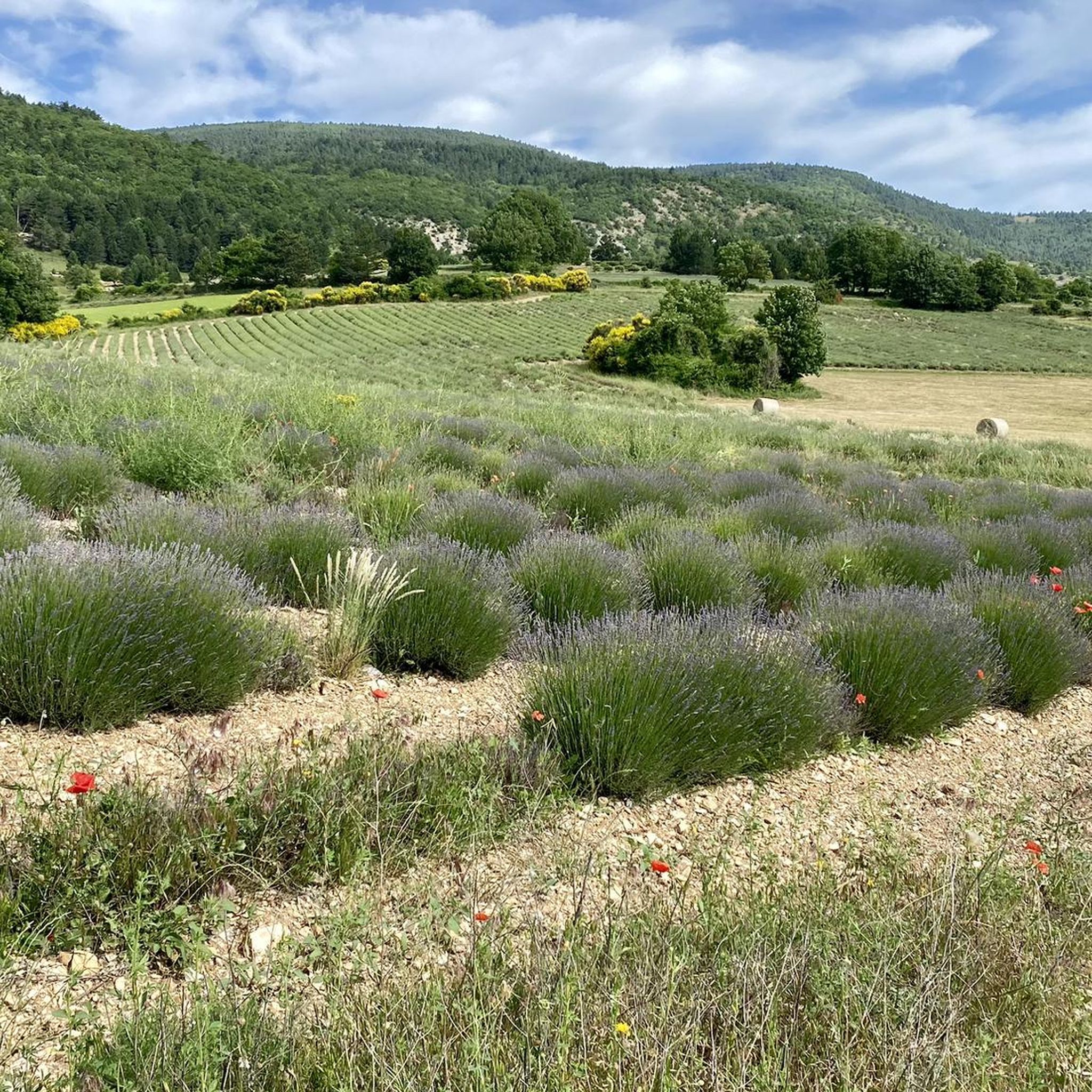
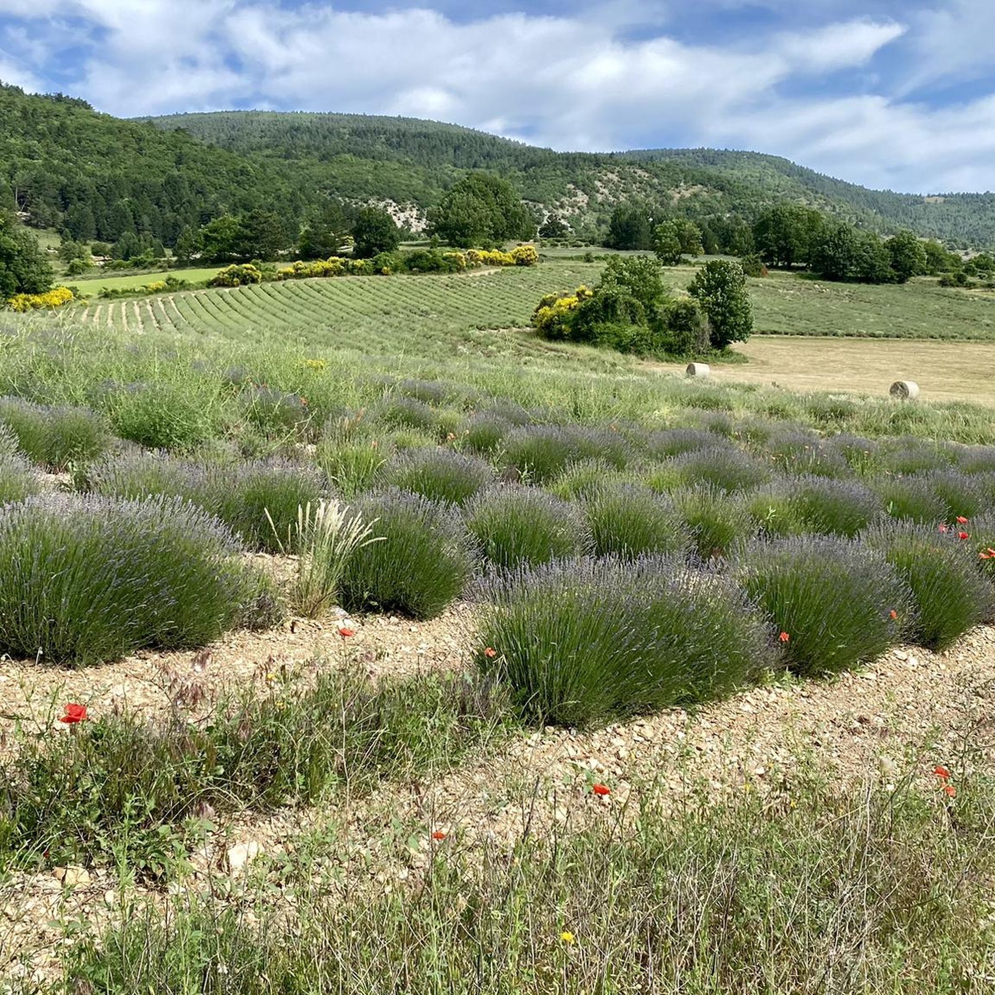
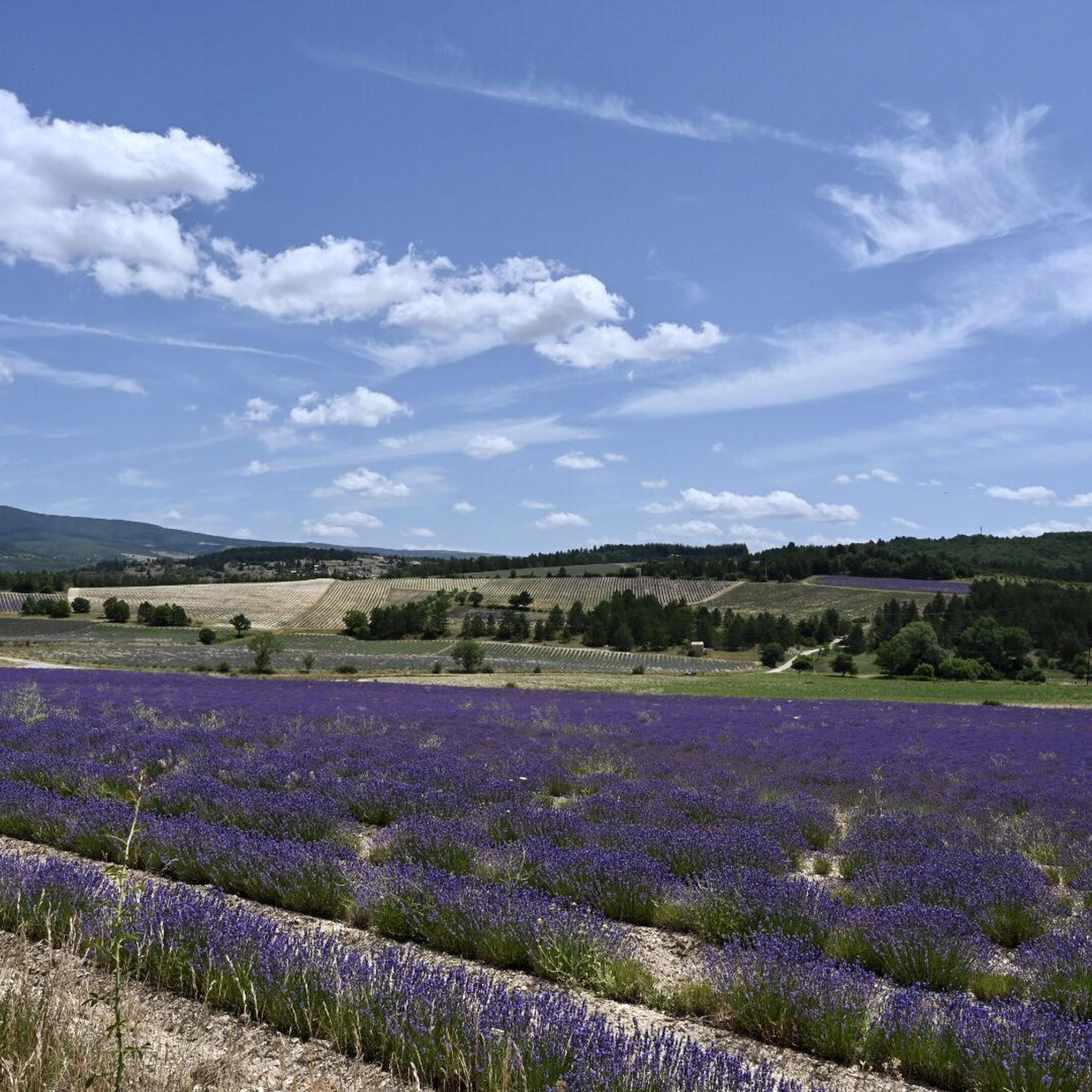
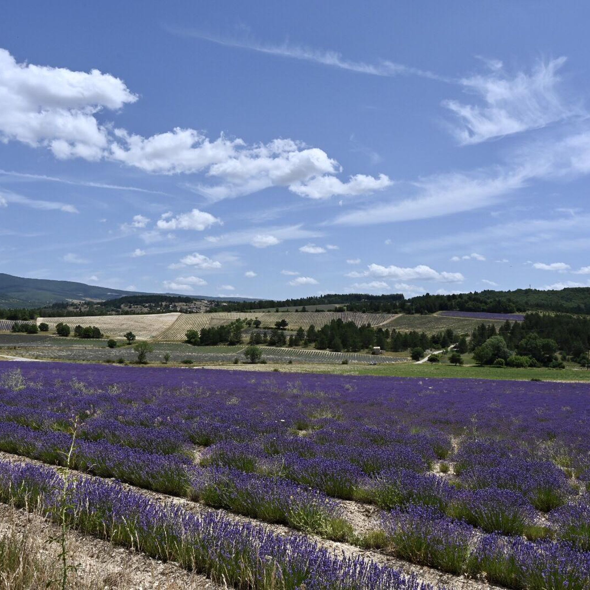
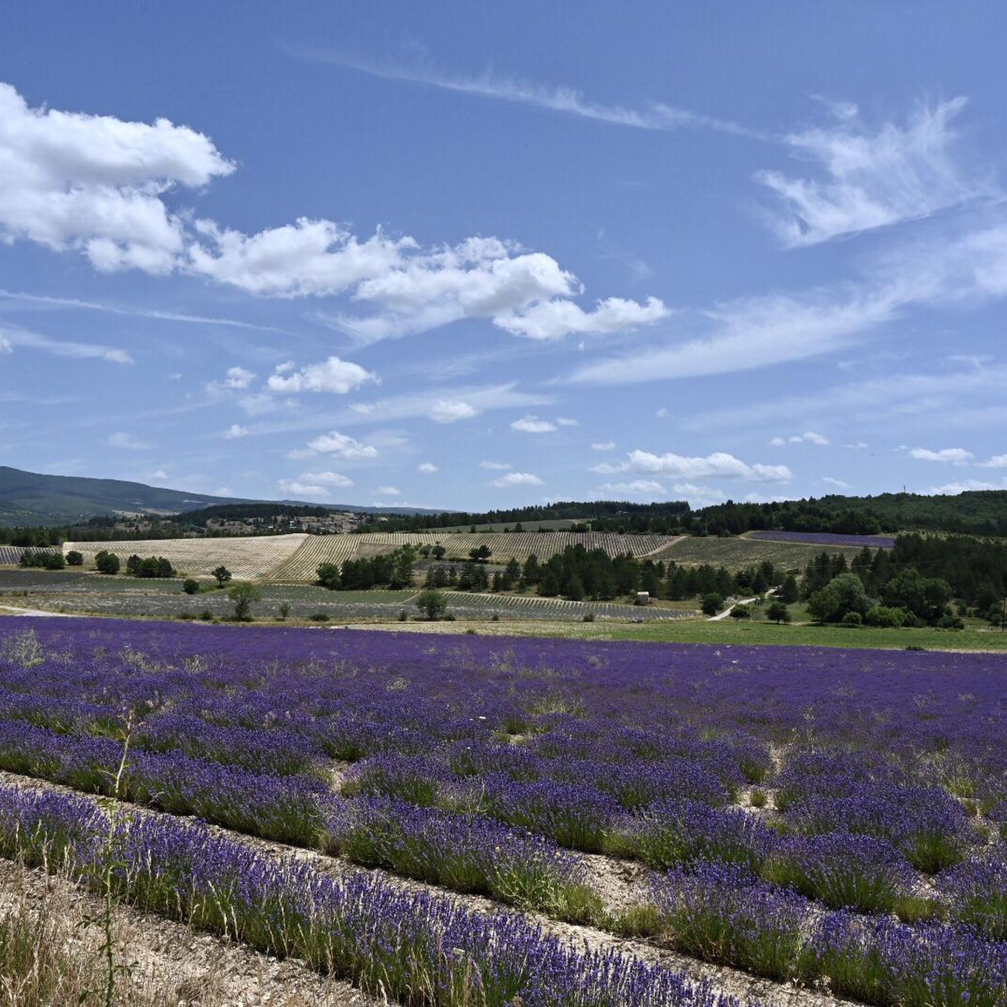
Mountaineering around Aurel is centered around the majestic Mont Ventoux, a dominant peak reaching over 1,900 meters, offering challenging ascents and panoramic views. The region features a landscape of low forested hills, wide valleys, and, in season, expansive lavender fields. Routes often traverse varied terrain, from exposed mountain slopes to more sheltered woodlands.
Best mountaineering routes around Aurel
- The most popular mountaineering route is Pass of Storms – Grand panorama loop from Mont Ventoux, an 8.6 miles (13.8 km) trail that takes 4 hours 28 minutes to complete. This route offers expansive views from the slopes of Mont Ventoux.
- Another top favourite among local mountaineers is Summit of Mont Ventoux loop from Mont Ventoux, a moderate 5.9 miles (9.5 km) path. This trail provides direct access to the summit area of Mont Ventoux, known for its unique lunar-like landscape.
- Local mountaineers also love the Pass of Storms – Grand panorama loop from Chalet Reynard, a 9.6 miles (15.5 km) trail leading through the upper reaches of Mont Ventoux, often completed in about 5 hours 9 minutes.
- Mountaineering around Aurel is defined by the prominent Mont Ventoux, forested slopes, and open mountain terrain. The network offers options for moderate to difficult routes, primarily focusing on the Mont Ventoux massif.
- The routes in Aurel are highly rated by the komoot community with an average score of 4.8 stars from over 7 reviews. More than 35 mountaineers have used komoot to explore Aurel's varied terrain.
Last updated: August 19, 2026
5.0
(1)
11
hikers
14.3km
04:37
620m
620m
Moderate mountaineering route. Good fitness required. Easily-accessible paths. Suitable for all skill levels.
5.0
(1)
10
hikers
15.6km
05:11
750m
750m
Hard mountaineering route. Very good fitness required. Easily-accessible paths. Suitable for all skill levels.

Sign up for free
5.0
(1)
5
hikers
9.22km
03:09
490m
490m
Moderate mountaineering route. Good fitness required. Easily-accessible paths. Suitable for all skill levels.
Our route recommendations are based on thousands of hikes, rides, and runs completed by other people on komoot.
Start today with a free account
Your next adventure awaits.
Login or Signup

Tips from the Community

From the summit of Ventoux, numerous viewpoints allow you to admire the natural parks of the Baronnies, Ventoux, or the Luberon. Here, you are facing the Écrins massif which literally unfolds before your eyes.
0
0

Spectacular view from this point.
8
0
The view from the top is sublime.
4
0
Finish line , if you see it, you've made it.
7
1

An iconic passage along the ridge, between scree and clearings. Here, you can breathe in the altitude and enjoy a first wide panorama towards the Baronnies and the Lure mountain.
0
0

Beautiful trails, I recommend it, but you need to be in good physical condition 😆🤪💪💪
0
0

Small Chapel with a panoramic view to the magnificent cross
1
0

The wind can be strong
0
0
Frequently Asked Questions
What is the general difficulty level of mountaineering routes around Aurel?
The mountaineering routes in Aurel are primarily rated as moderate to difficult. There are 3 moderate routes and 1 difficult route listed in this guide, making them suitable for those with some experience or a good level of fitness.
Are there any less crowded mountaineering trails in the Aurel area?
While all routes offer a sense of natural immersion, for a potentially less crowded experience, consider the Mountaineering loop from Mont Ventoux. This moderate 9.2 km route offers a rewarding experience through the varied terrain of Mont Ventoux.
What kind of landscapes can I expect to see on these mountaineering routes?
The routes around Aurel offer diverse landscapes, from the exposed, often lunar-like slopes of Mont Ventoux to more sheltered woodlands and wide valleys. In season, you might also encounter the famous lavender fields that characterize the region.
What are some notable viewpoints or landmarks along the mountaineering routes?
Many routes offer panoramic views from the slopes of Mont Ventoux. You can reach the Mont Ventoux summit itself, which provides vistas of the Albion plateau, the Mediterranean, and even the Alps on clear days. Other notable points include the Fontaube Pass and the dramatic Toulourenc Valley.
What is the best season for mountaineering in Aurel?
The best seasons for mountaineering in Aurel are typically spring, summer, and early autumn. During late June to August, you can also enjoy the vibrant lavender fields. However, be prepared for varying conditions on Mont Ventoux, especially at higher altitudes.
What are the typical durations for mountaineering routes in Aurel?
The mountaineering routes in this guide vary in length and duration. For example, the Summit of Mont Ventoux loop from Mont Ventoux is a moderate 9.5 km path that typically takes around 3 hours 17 minutes, while the more challenging Pass of Storms – Grand panorama loop from Chalet Reynard is 15.5 km and can take over 5 hours.
Are there any circular mountaineering routes available?
Yes, all the mountaineering routes featured in this guide are circular. For instance, the popular Pass of Storms – Grand panorama loop from Mont Ventoux is an 13.8 km circular trail offering expansive views.
What do other mountaineers enjoy most about the routes around Aurel?
The area is highly rated by the komoot community, with an average score of 4.8 stars from over 7 reviews. Reviewers often praise the challenging ascents, the panoramic views from Mont Ventoux, and the unique natural beauty of the region.
Is it possible to reach the trailheads using public transport?
While Aurel is a charming village, public transport options directly to specific mountain trailheads can be limited. It's generally recommended to have private transportation to access the starting points of these mountaineering routes, especially those higher up on Mont Ventoux.
What are the winter conditions like for mountaineering on Mont Ventoux?
Mont Ventoux, being a dominant peak at 1,910 meters, can experience significant winter conditions. Snow and ice are common at higher elevations, making routes more challenging and requiring appropriate winter mountaineering gear and experience. Always check local weather and trail conditions before heading out in winter.
Are there places to eat or get refreshments after a mountaineering trip?
Aurel itself is a charming village with a historical setting. While specific cafes or restaurants are not detailed in the route information, the village offers a lovely atmosphere where you can likely find refreshments. There are also abundant fountains for hikers and cyclists within the village.
Are there any family-friendly mountaineering options around Aurel?
The mountaineering routes in this guide are rated moderate to difficult, focusing on the Mont Ventoux massif. While the region offers easier walks, these specific mountaineering trails are best suited for families with older children who have experience with more strenuous hiking and a good level of fitness.
Most popular attractions around Aurel

Get inspired with the komoot mobile app


Explore more
Browse the best Mountain Hikes & Routes in other regions.
