The best gravel rides around Yátova
5.0
(1)
43
riders
12
rides
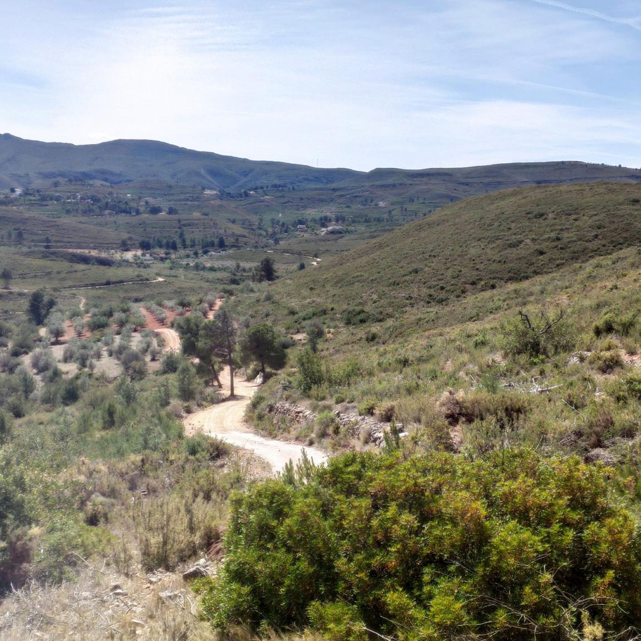
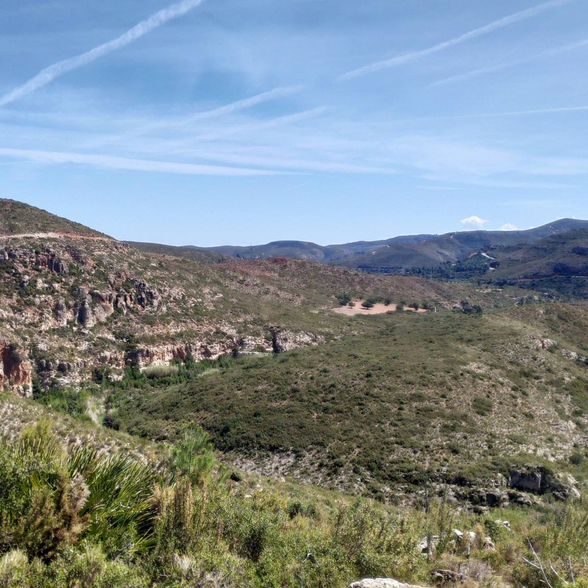
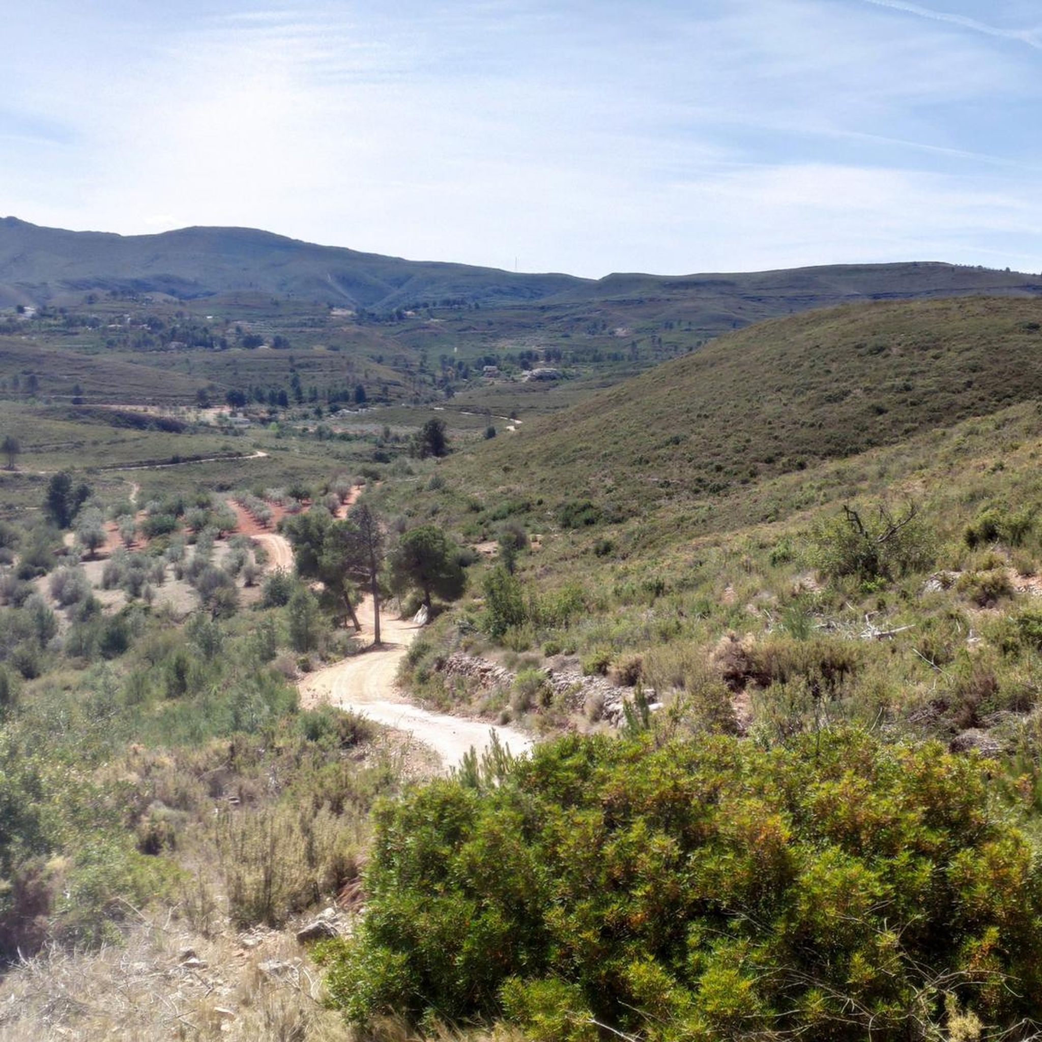
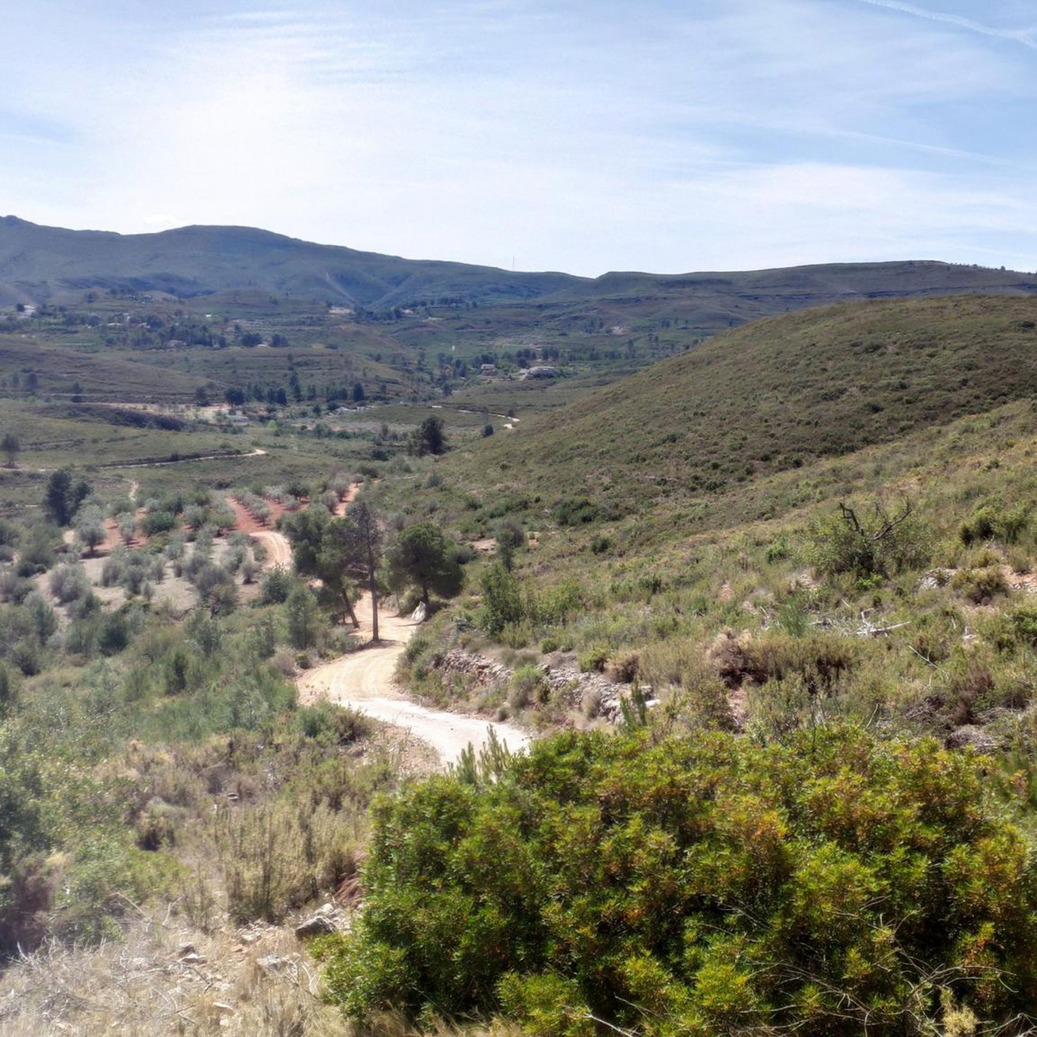
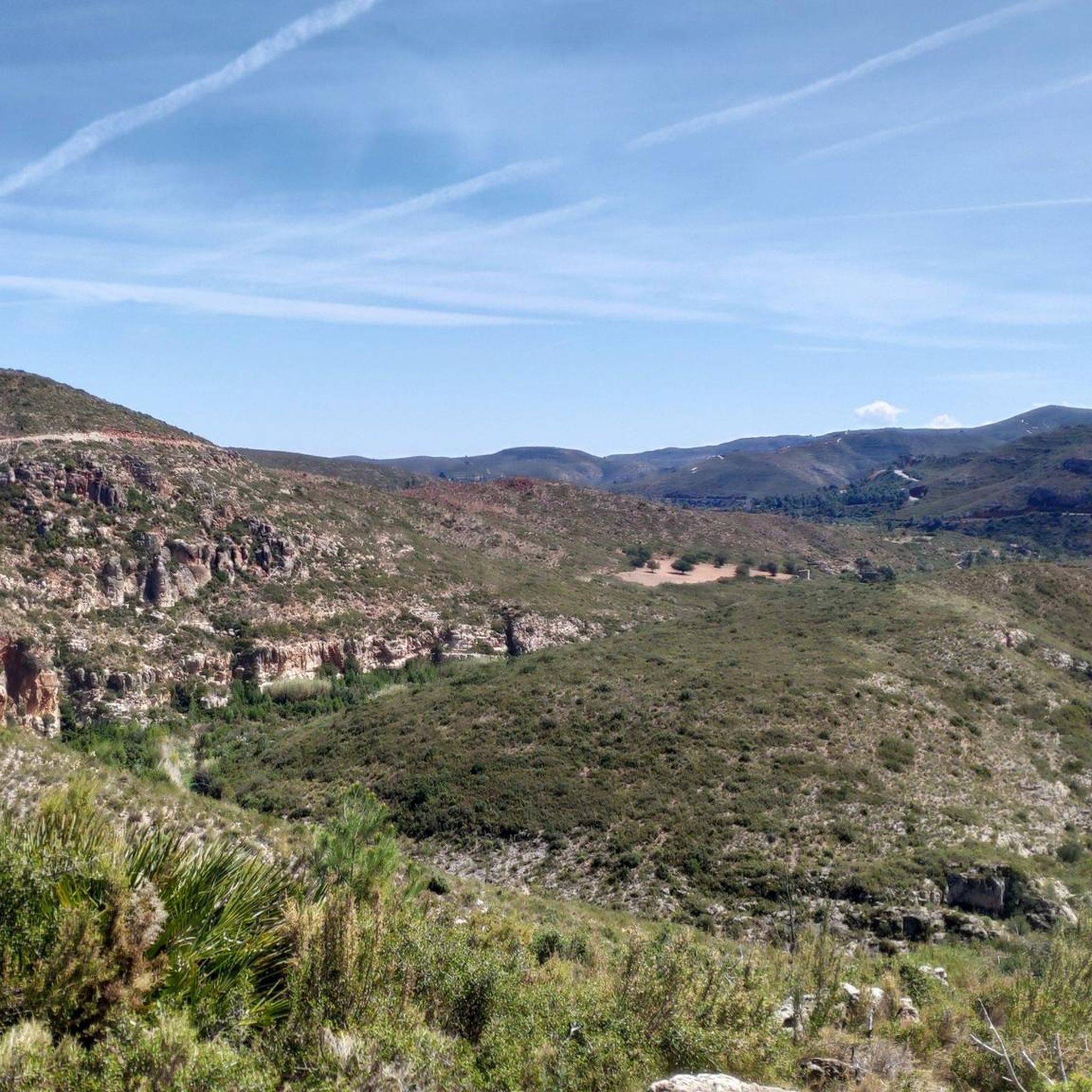
Gravel biking around Yátova offers routes through a landscape characterized by river valleys, barrancos, and forested hills. The region features significant elevation changes, with routes often including climbs to passes like Puerto de Cardera and Monte de la Cruz. Natural features such as the Mijares River and La Alhóndiga Spring are common along the trails. The terrain provides a mix of challenging ascents and scenic paths suitable for gravel cycling.
Best gravel bike trails around Yátova
- The most popular gravel…
Last updated: July 8, 2026
6
riders
35.6km
03:00
580m
580m
Hard gravel ride. Very good fitness required. Mostly paved surfaces. Suitable for all skill levels.
8
riders
53.9km
03:55
930m
930m
Hard gravel ride. Very good fitness required. Mostly paved surfaces. Suitable for all skill levels.

Sign up for free
6
riders
60.7km
04:26
1,100m
1,100m
Hard gravel ride. Very good fitness required. Mostly paved surfaces. Suitable for all skill levels.
5.0
(1)
5
riders
42.8km
03:00
810m
810m
Hard gravel ride. Very good fitness required. Mostly paved surfaces. Suitable for all skill levels.
4
riders
44.3km
03:39
1,010m
1,010m
Hard gravel ride. Very good fitness required. Mostly paved surfaces. Suitable for all skill levels.
Get access to more routes and recommendations from other explorers.
Sign up for free
Already have an account?
Our route recommendations are based on thousands of hikes, rides, and runs completed by other people on komoot.
Start today with a free account
Your next adventure awaits.
Login or Signup
Tips from the Community

The slope coming from Yatova is 3.1 km with 152 m of positive elevation gain, leaving an average gradient of 5.0% and a maximum of 9.3% (according to the Diputación signs, which provide information at the start, sections every 1 km, and the end). Asphalt in very good condition, mostly quiet road with no traffic.
0
0

The road towards Cuevas del Turche is currently closed - construction site!
4
0
Recreational area with tables and chairs and Municipal Camping Area
0
0

At this point on the road from Yátova, there is a sign indicating Puerto de Cardera. If you descend along a track from Puntal de la Nevera, you will reach this pass. Further along the road is Collado de los Tormos, which leads to a path that descends to the Forata reservoir.
1
0

Perfect spot to refill canisters after the Juanes River
0
0
steep climb of just over 2km
2
0

The Mijares River rises at an altitude of 1,600 m in the Sierra de Gúdar mountain range, part of the Iberian System. The Mijares forms a 4,028 km² valley basin. After 156 km, the river flows into the Mediterranean Sea at Valencia.
0
0
2.75 km with an average gradient of 7.5% and a maximum of 11.4% for a total of 168m of positive gradient. The only "snag" is that to climb the whole route, you have to go past the entrance to Collado Uman. If you want to do both, you have to go over the top of Puerto de la Cruz and turn back a few metres to start the pass.
0
0
Frequently Asked Questions
What is the general difficulty level of gravel bike trails around Yátova?
The gravel biking routes in Yátova are primarily suited for advanced riders due to significant elevation changes and challenging terrain. Most routes, including the popular Turche Cave Waterfall – Buñol loop from Buñol, are rated as difficult.
Are there any beginner-friendly gravel bike routes in the Yátova area?
The region of Yátova is characterized by challenging terrain, with routes often featuring considerable climbs and descents. As such, the available gravel biking options are primarily designed for experienced riders, and there are no routes specifically classified as easy.
What kind of distances can I expect on gravel bike routes near Yátova?
Gravel bike routes in the Yátova area typically range from moderate to long distances. For example, the Magic Barranco de Papàn – Aqueduct ruins loop from Siete Aguas is about 21.7 miles (34.9 km), while the Turia-Cabriel Nature Trail – La Alhóndiga Spring loop from Buñol extends to 37.7 miles (60.7 km).
Where are common starting points or trailheads for gravel biking in Yátova?
Many gravel bike routes in the Yátova region begin from nearby towns such as Buñol, Siete Aguas, or Yátova itself. These locations serve as convenient access points to the network of trails that explore the surrounding river valleys and forested hills.
Are there any waterfalls or natural pools to see along the gravel bike trails?
Yes, several routes pass by notable natural water features. You can encounter the scenic Turche Cave Waterfall, the Beautiful pool on the Juanes River, or the Cave of the Doves and Yátova Waterfall. The Turche Cave Waterfall – Buñol loop from Buñol specifically features the Turche Cave Waterfall.
What kind of natural landscapes and viewpoints can I expect to see while gravel biking in Yátova?
The Yátova region offers diverse landscapes, including river valleys, barrancos (ravines), and forested hills. Routes often feature climbs to passes like Puerto de Cardera and Monte de la Cruz, providing panoramic views. You might also encounter highlights such as Views of the Júcar River or the dramatic Cintos de la Cortada gorge.
Are there any historical or cultural landmarks accessible by gravel bike in the area?
Yes, some routes incorporate historical elements. For instance, the Magic Barranco de Papàn – Aqueduct ruins loop from Siete Aguas navigates past ancient aqueduct ruins. Additionally, the region is home to landmarks like Chirel Castle, which can be explored as part of a longer ride or side trip.
What is the best time of year for gravel biking around Yátova?
Given the Mediterranean climate of the region, spring and autumn generally offer the most pleasant conditions for gravel biking in Yátova, with milder temperatures. Summer can be very hot, while winter might bring cooler temperatures, but routes remain accessible, though some higher elevations could be more exposed.
Are the gravel bike routes in Yátova typically circular or point-to-point?
Most of the gravel bike routes in the Yátova area are designed as circular loops, allowing you to start and finish at the same point. Examples include the Puerto de Cardera – Mijares River loop from Yátova and the Buñol – Monte de la Cruz Pass loop from Buñol.
What do other gravel bikers say about the trails in Yátova?
The gravel biking routes in Yátova are highly regarded by the komoot community, holding an average score of 5.0 stars from over 1 review. Riders often praise the challenging nature of the trails, the significant elevation gains, and the scenic beauty of the river valleys and barrancos.
How many gravel bike trails are available in the Yátova region?
There are over 10 gravel bike trails available for exploration in the Yátova region, offering a variety of challenging routes through its distinctive landscape of river valleys, barrancos, and forested hills.
Most popular attractions around Yátova

Get inspired with the komoot mobile app


Explore more
Browse the best Gravel rides in other regions.
