The best mountain hikes around Calasca-Castiglione
8
hikers
3
hikes
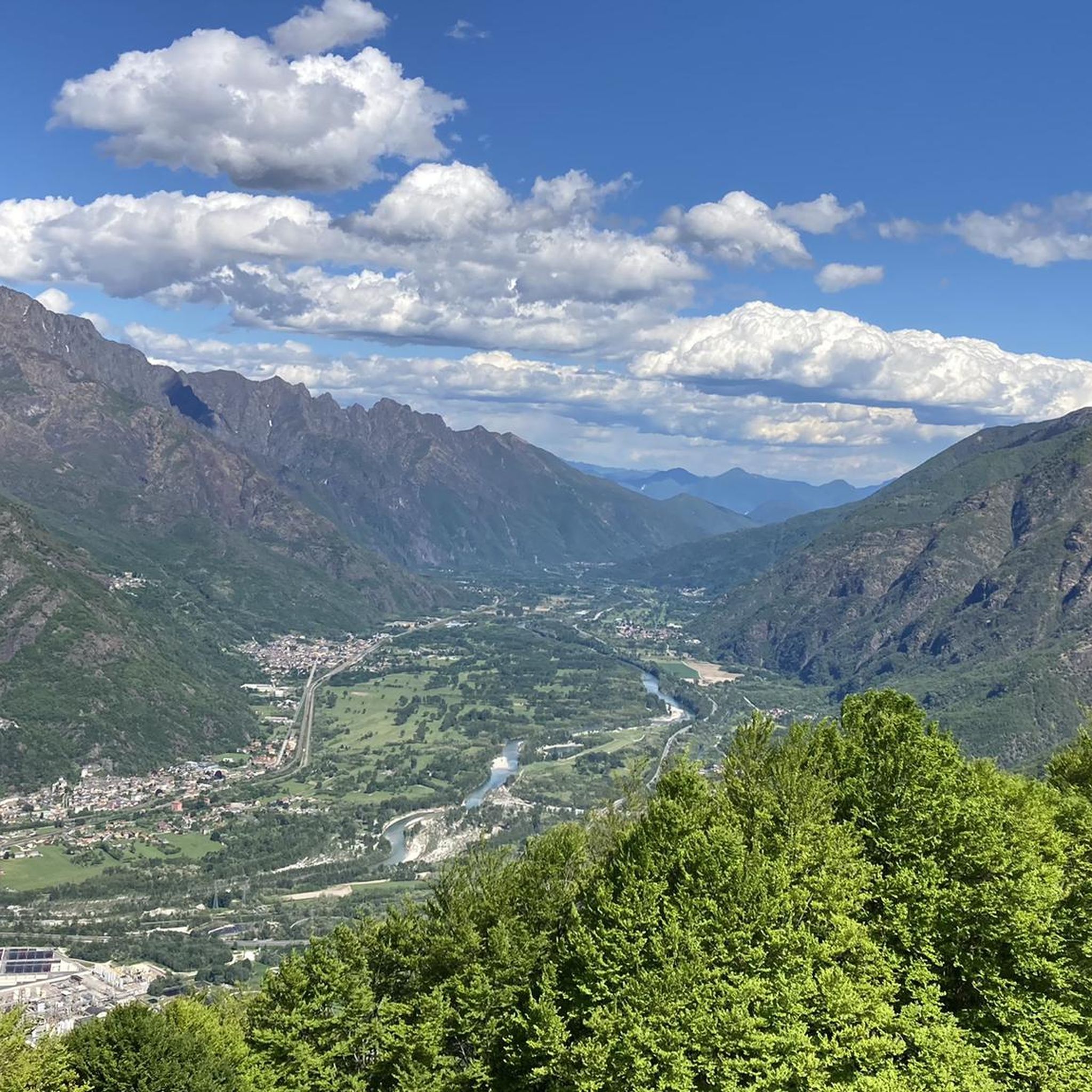
Mountaineering routes around Calasca-Castiglione are situated in Italy's Piedmont region, within the Province of Verbano-Cusio-Ossola, offering access to the Ossola Alps near the Swiss border. The terrain is characterized by dramatic mountain peaks, passes, and valleys, with picturesque lakes and historical terraced areas. This region provides a variety of mountaineering routes, ranging from moderate to difficult, often requiring good fitness levels and alpine experience.
Best mountaineering routes around Calasca-Castiglione
- The most popular mountaineering route is Lago Alpe dei Cavalli –…
Last updated: October 11, 2026
6
hikers
15.2km
07:29
1,260m
1,260m
Hard mountaineering route. Very good fitness required. Mostly accessible paths. Sure-footedness required.
2
hikers
3.41km
01:00
90m
90m
Moderate mountaineering route. Great for any fitness level. Mostly accessible paths. Sure-footedness required.

5.93km
02:14
300m
300m
Moderate mountaineering route. Good fitness required. Mostly accessible paths. Sure-footedness required.
Our route recommendations are based on thousands of hikes, rides, and runs completed by other people on komoot.
Start today with a free account
Your next adventure awaits.

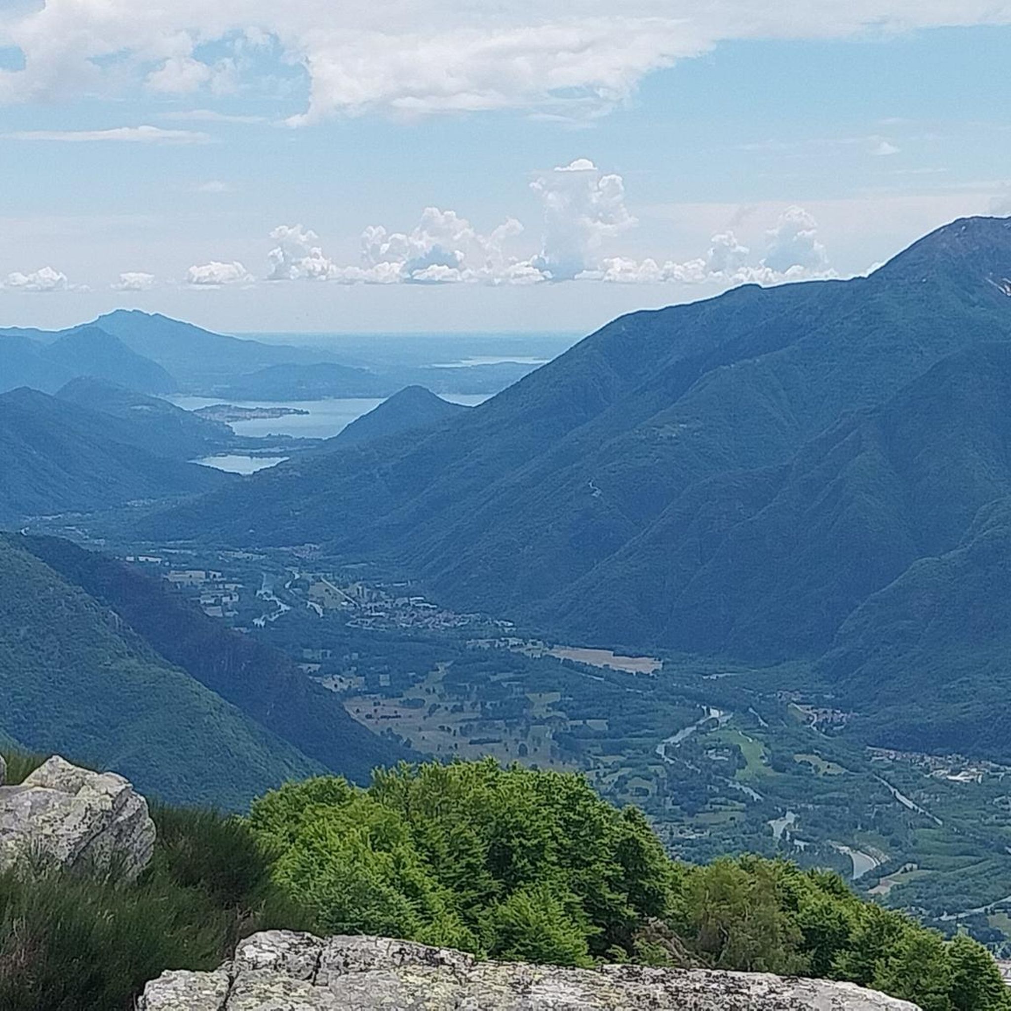
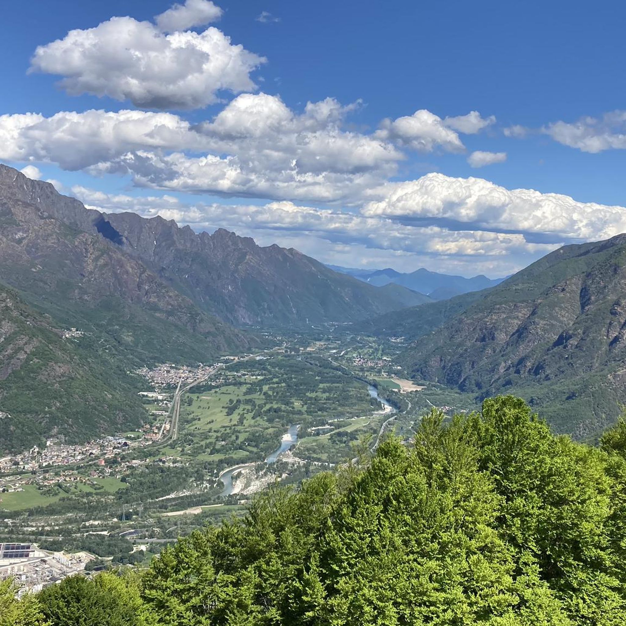
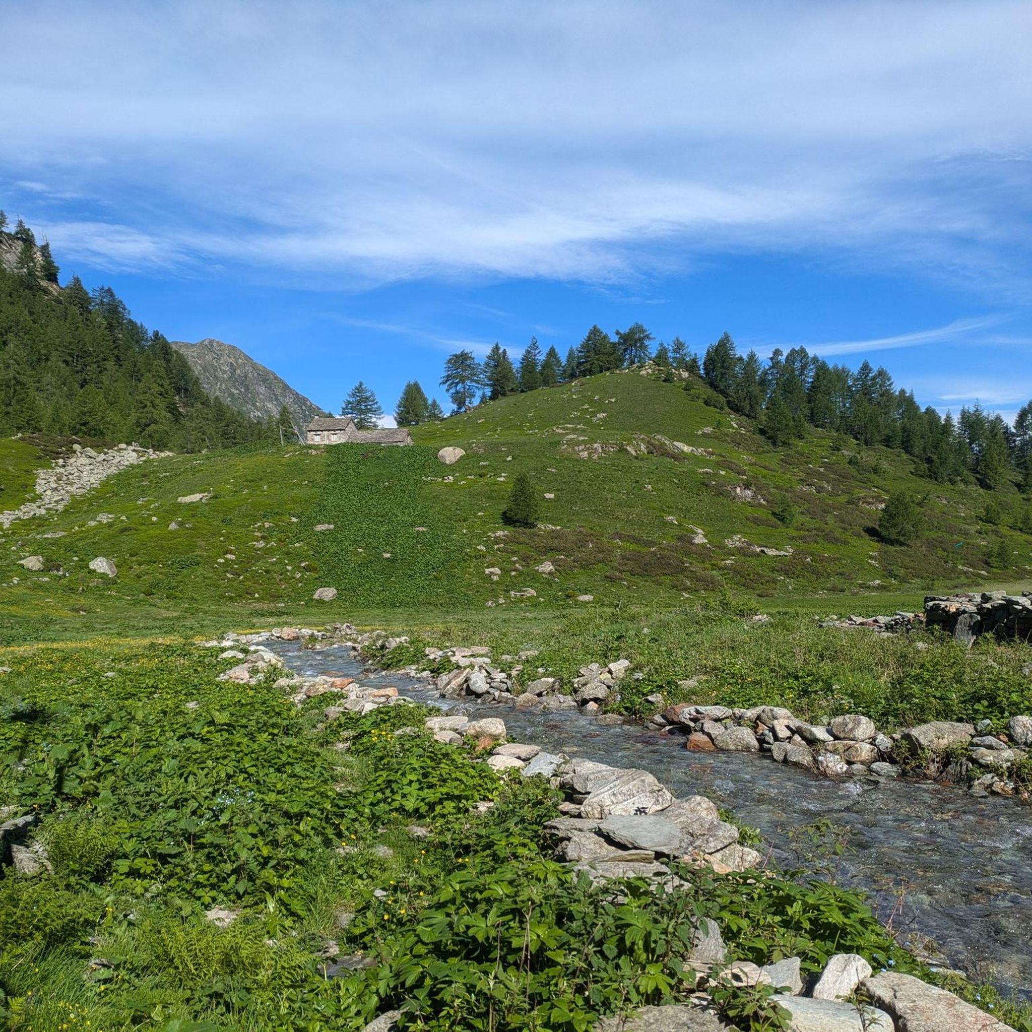
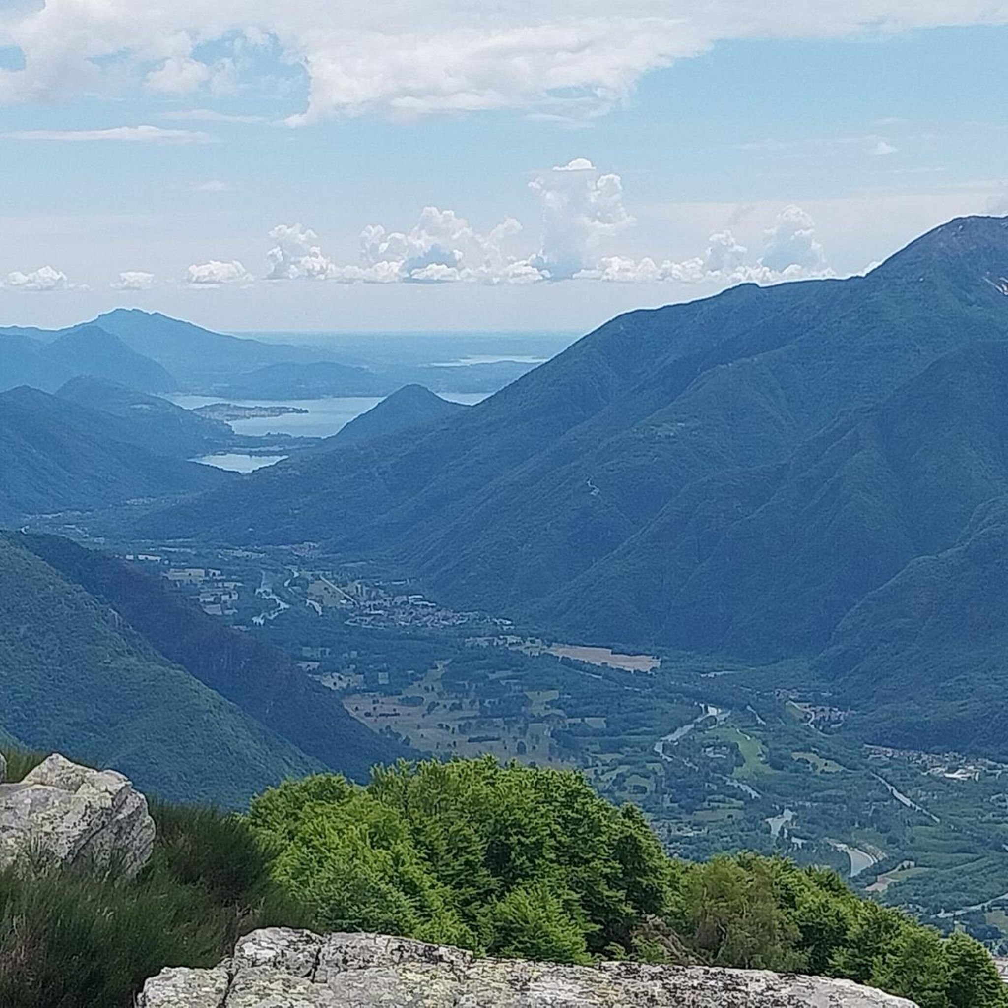
Other adventures around Calasca-Castiglione

Tips from the Community

Beautiful place, suitable for a stopover, water point
0
0

Starting from Bivacco Alpe in La Piana is the first place where you find water
0
0

Comfortable, clean, dry, with a cooking area. We saw wonderful cloud spectacles there.
0
0
A wonderful view and a delicious fountain await you there.
0
0
a beautiful place to stay and look out
0
0

For connoisseurs! Forests, lakes, meadows, and delicious polenta. Everything your heart desires. 👍
0
0


At the beginning of May 2024, the path under/behind the waterfall was still closed
0
0
Frequently Asked Questions
What kind of mountaineering routes can I expect around Calasca-Castiglione?
The Calasca-Castiglione area, nestled in the Ossola Alps, offers a diverse range of mountaineering routes. You'll find trails varying from moderate to difficult, often requiring good fitness levels and alpine experience. The landscape features dramatic mountain peaks, picturesque lakes, and historical terraced areas, providing a rich and varied experience.
Are there any moderate mountaineering routes suitable for those with less alpine experience?
Yes, while many routes are challenging, there are moderate options available. For example, the Lago di Alpe Russi loop from Antrona Schieranco is a moderate 5.4-mile (8.6 km) path that winds through beautiful alpine landscapes, circling a notable lake in the region.
What are some of the more challenging mountaineering routes in the area?
For those seeking a challenge, the region offers several difficult routes. The Lago Alpe dei Cavalli – Rifugio Andolla loop from Diga Alpe dei cavalli is a difficult 7.2-mile (11.7 km) trail offering stunning alpine views. Another demanding option is the Alpe Lut Church – Alpe La Piana loop from Premosello-Chiovenda, an 8.4-mile (13.6 km) route through alpine pastures and historical hamlets.
Are there any circular mountaineering routes around Calasca-Castiglione?
Yes, many of the mountaineering routes in the area are designed as loops, allowing you to start and end at the same point. Examples include the Lago Alpe dei Cavalli – Rifugio Andolla loop and the Lago di Alpe Russi loop. The Lago Alpe dei Cavalli loop from Alpe Cheggio is another excellent circular option.
What natural features or landmarks can I expect to see along the mountaineering routes?
The routes often feature dramatic mountain peaks, passes, and valleys of the Ossola Alps. You'll encounter picturesque lakes like Cheggio Dam and Lake of the Horses, and various waterfalls, such as the Sajont Waterfall. The historical terraced areas, once used for cultivation, also add a unique cultural element to the landscape.
Are there any historical sites or cultural attractions accessible from the trails?
Absolutely. The region is rich in history. You might encounter charming hamlets with well-preserved alpine architecture, like Colombetti, connected by ancient mule tracks. The Parish Church of Sant'Antonio Abate in Calasca Castiglione, known as the 'Cathedral in the woods,' is a monumental religious complex integrated into nature. The 'Bread Route' in the Anzasca Valley also offers a unique experience, showcasing historical community ovens and mills.
What is the typical duration for mountaineering routes in Calasca-Castiglione?
The duration varies significantly based on the route's length and difficulty. Moderate routes like the Lago di Alpe Russi loop can take around 3-4 hours. More difficult and longer routes, such as the Bridge Over the Stream loop from La Gazza, can take 7 hours or more to complete.
What is the best season for mountaineering in Calasca-Castiglione?
The best season for mountaineering in the Ossola Alps generally runs from late spring through early autumn (May to October), when trails are typically free of snow and weather conditions are more stable. Always check local weather forecasts and trail conditions before heading out, especially in shoulder seasons.
What do other mountaineers enjoy most about the routes in Calasca-Castiglione?
The area is highly rated by the komoot community, with an average score of 4.8 stars. Reviewers often praise the stunning alpine scenery, the challenge of the routes, and the opportunity to explore both natural beauty and historical sites like the ancient terracing and charming hamlets.
Are there any options for multi-day mountaineering adventures?
Yes, the region offers opportunities for multi-day adventures. The Ossola Alps have a network of trails connecting various refuges and hamlets, allowing for longer treks and overnight stays. These routes provide a deeper immersion into the mountainous landscape and alpine culture.
Are there any waterfalls to see while mountaineering in the area?
Yes, the region is known for its scenic waterfalls. Besides the Sajont Waterfall, you might encounter others like the Messasca Waterfall or the Intermediate Waterfall of Rio Lasino. For a unique experience, the Rio Val Bianca in the Anzasca Valley is notable for canyoning, featuring a waterfall over 90 meters tall.
Where can I find parking for the mountaineering routes?
Parking availability varies by trailhead. Many routes, especially those starting from villages or popular access points like Diga Alpe dei Cavalli or Antrona Schieranco, typically have designated parking areas. It's advisable to check specific route details on komoot for parking information related to your chosen starting point.
Most popular routes around Calasca-Castiglione
Most popular attractions around Calasca-Castiglione

Get inspired with the komoot mobile app


Explore more
Browse the best Mountain Hikes & Routes in other regions.
