The best mountain hikes around Tavigliano
4.5
(6)
38
hikers
3
hikes
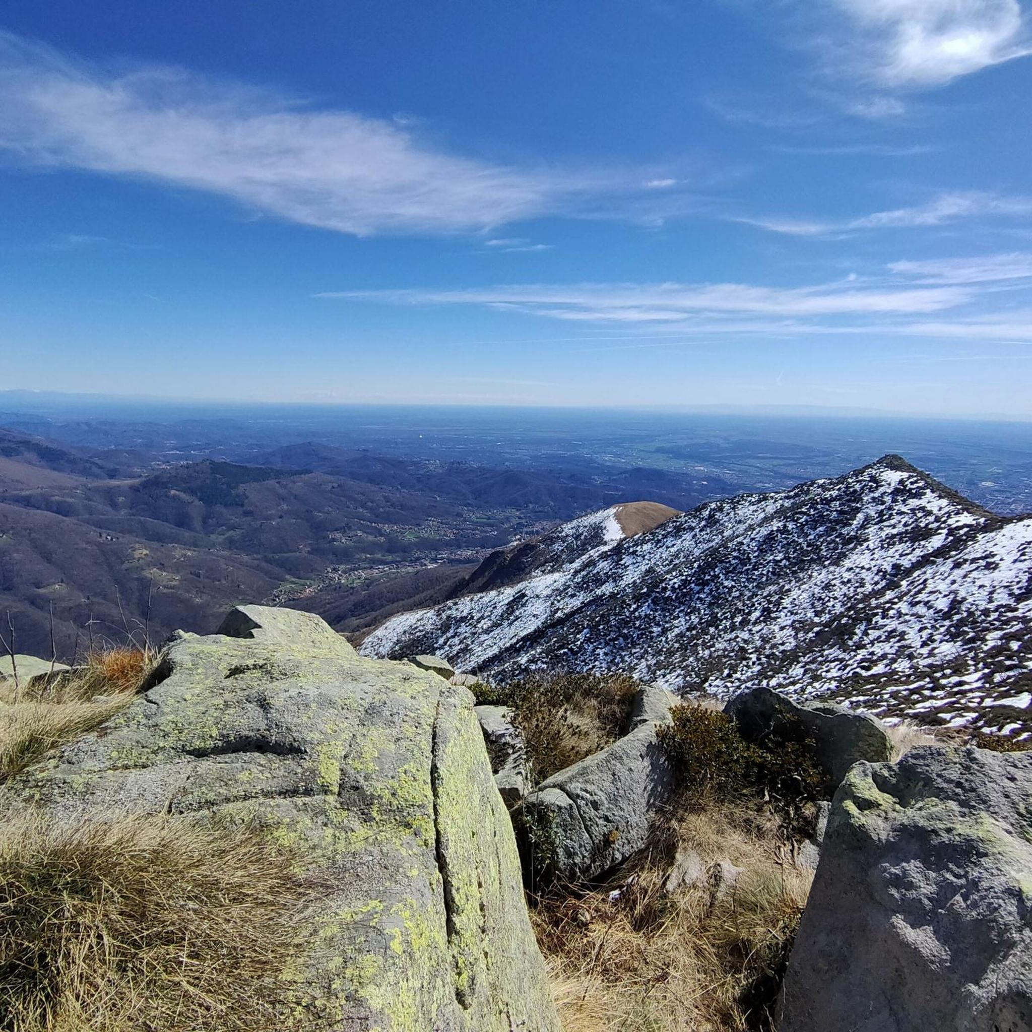
Mountaineering routes around Tavigliano are situated within the Biellese Alps, offering a landscape characterized by significant elevation changes, alpine lakes, and rugged mountain terrain. The region features a mix of open rock faces, high mountain pastures, and forested valleys, providing diverse environments for mountaineering. Peaks in the area often exceed 200 meters, presenting challenging ascents and panoramic views. The trails navigate through varied geological formations, including granite and schist, typical of the Western Alps.
Best mountaineering routes around Tavigliano
- The…
Last updated: October 11, 2026
4.0
(3)
16
hikers
13.6km
06:37
1,090m
1,090m
Hard mountaineering route. Very good fitness required. Sure-footedness, sturdy shoes and alpine experience required.
4.5
(2)
15
hikers
13.2km
06:30
1,090m
1,090m
Hard mountaineering route. Very good fitness required. Sure-footedness, sturdy shoes and alpine experience required.

5.0
(1)
7
hikers
5.33km
02:07
280m
270m
Moderate mountaineering route. Good fitness required. Mostly accessible paths. Sure-footedness required.
Our route recommendations are based on thousands of hikes, rides, and runs completed by other people on komoot.
Start today with a free account
Your next adventure awaits.

Tips from the Community


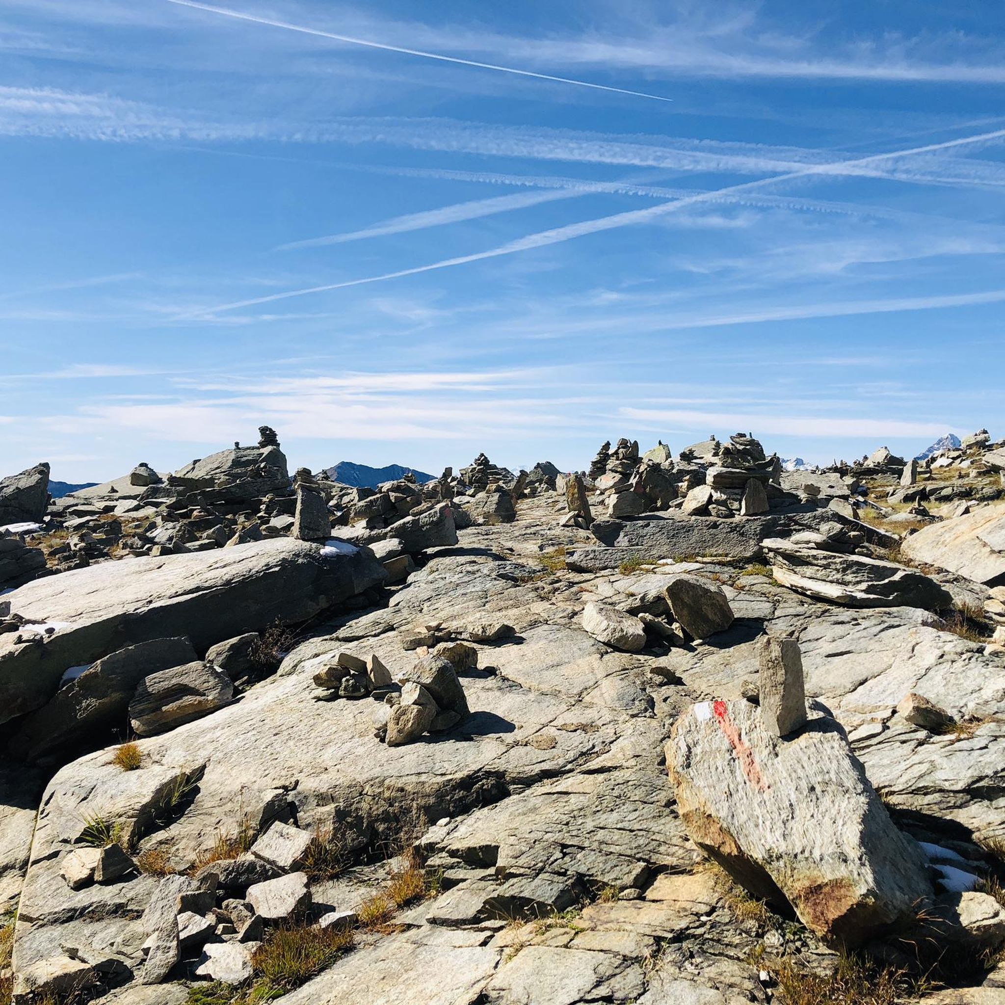
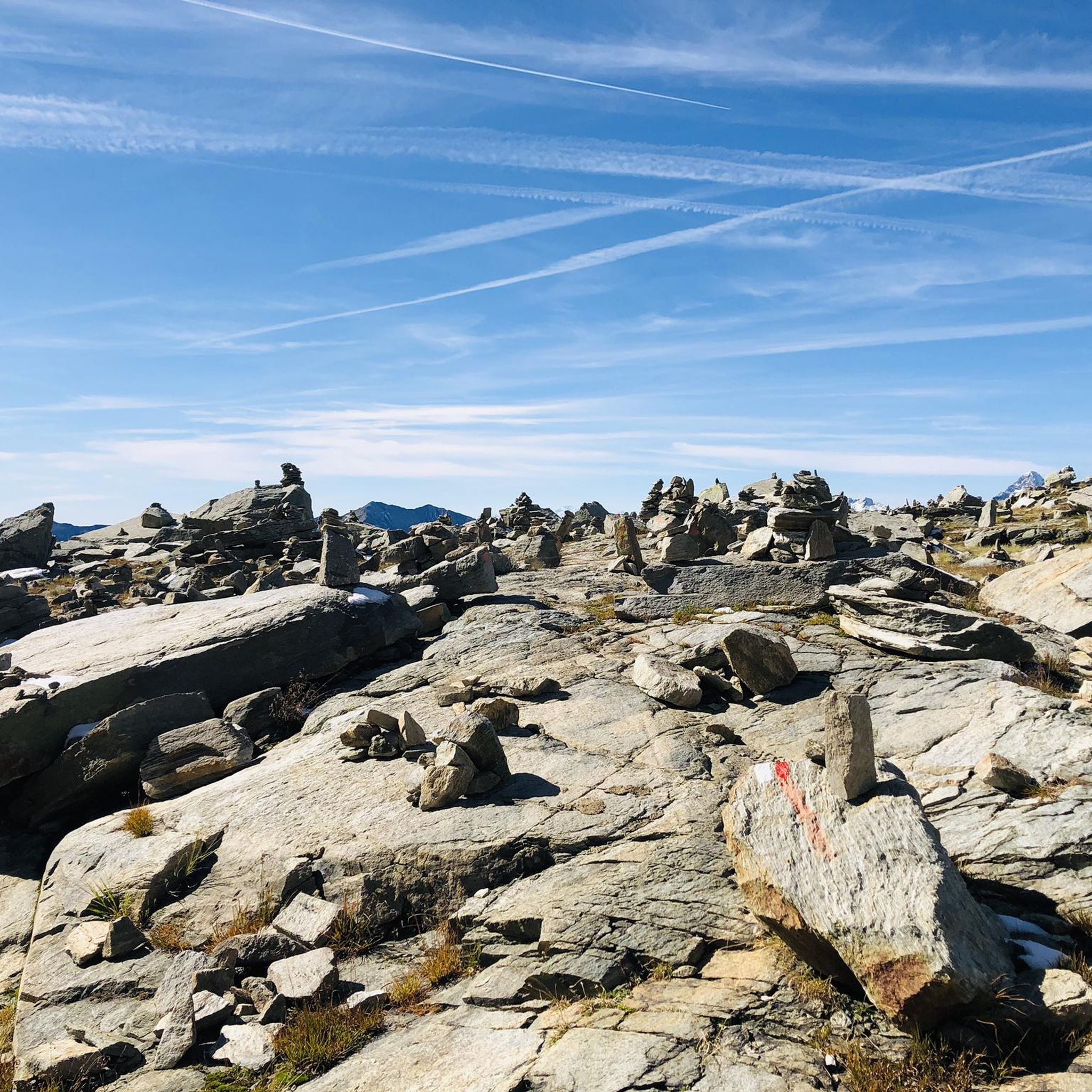
glacial lake that gives rise to the Oropa stream
0
0
built in 1936 and restored in 2006
0
0
arrival station and panoramic view of the Sanctuary
0
3
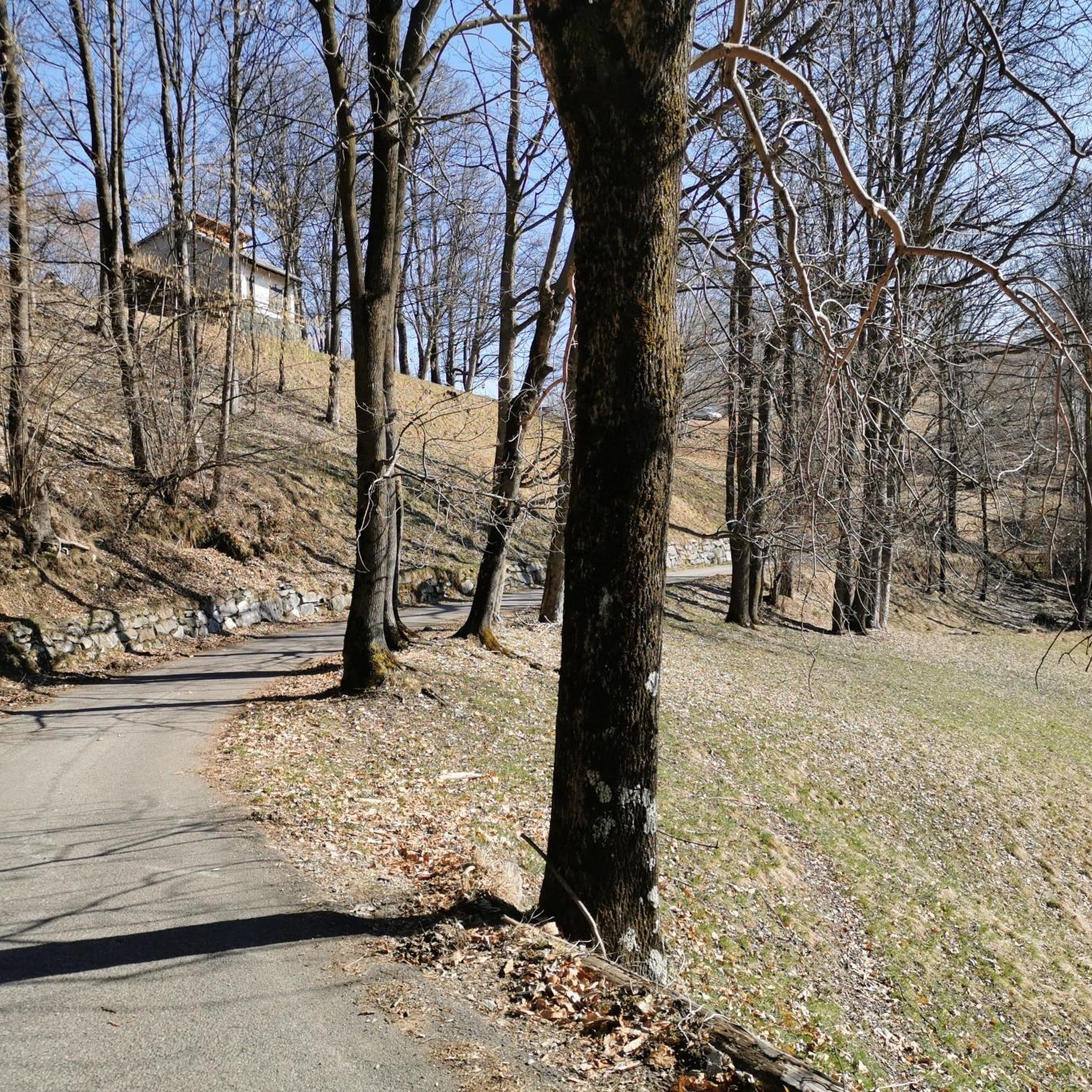
beautiful dirt road with dry stone walls and natural ground (without added gravel)
0
3
at the end of 2025 the dirt road track was improved and made passable by off-road vehicles and bikes, with the elimination and covering of the previous ford on the Oropa
0
0

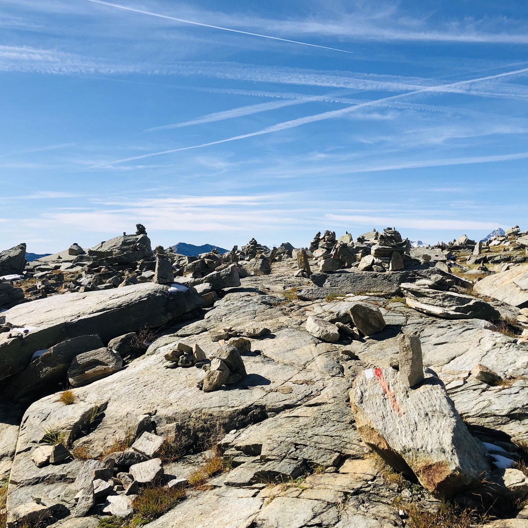
Beautiful view that goes around the mountain, only for very expert MTBs. The path is very exposed and dangerous with many stones and rocks. If done on foot, it takes at least half an hour.
0
0
it is located at Alpe Pissa
0
1
Frequently Asked Questions
Are there mountaineering routes suitable for beginners in Tavigliano?
While the majority of mountaineering routes around Tavigliano are classified as difficult, there are a few moderate options available. For example, the Lago della Vecchia – Rifugio Lago della Vecchia loop from Piedicavallo is a moderate 6.9-mile (11.1 km) trail that offers a less strenuous experience through high mountain valleys.
What kind of challenges can I expect on the more difficult mountaineering routes around Tavigliano?
The difficult mountaineering routes in Tavigliano, such as the Monte Camino – Rifugio Rosazza loop from Oropa, typically feature substantial elevation gains, rugged mountain terrain, and can take over 6 hours to complete. These routes often navigate through open rock faces and require good physical condition and experience.
What are the typical distances and elevation gains for mountaineering routes in Tavigliano?
Mountaineering routes in Tavigliano vary, but you can expect distances ranging from approximately 6.9 miles (11.1 km) to over 10 miles (16 km). Elevation gains are significant, often exceeding 1,000 meters (3,280 feet) on the more challenging trails, such as the Lago del Camino – Lago Barma superiore loop from Oropa which has over 1,200 meters of ascent.
Can I find circular mountaineering routes in the Tavigliano area?
Yes, many of the mountaineering routes around Tavigliano are designed as loops, allowing you to start and end at the same point. Examples include the popular Mucrone Lake loop from Oropa and the Monte Mucrone Summit – Lake Mucrone loop from Oropa.
Are there any family-friendly mountaineering options around Tavigliano?
While most mountaineering routes in Tavigliano are challenging, families with older, experienced children might consider the moderate Lago della Vecchia – Rifugio Lago della Vecchia loop from Piedicavallo. It's important to assess the fitness and experience level of all family members before attempting any route.
When is the best time of year to go mountaineering in Tavigliano?
The best time for mountaineering in Tavigliano is typically during the warmer months, from late spring to early autumn (June to September), when trails are generally free of snow and weather conditions are more stable. This allows for better access to high mountain pastures and alpine lakes.
Is winter mountaineering possible in Tavigliano?
Winter mountaineering in Tavigliano is possible but requires specialized equipment, experience, and careful planning due to snow, ice, and potential avalanche risks. The Biellese Alps can present significant challenges in winter, so it's advisable to consult local conditions and forecasts.
Which mountaineering routes offer the best viewpoints or scenic vistas?
Many routes in Tavigliano offer panoramic views of the Biellese Alps. Trails leading to peaks like Monte Camino or those around alpine lakes such as Mucrone Lake, provide stunning vistas of the surrounding rugged mountain terrain and valleys.
Are there any waterfalls to see along the mountaineering routes?
Yes, the Tavigliano area is home to several beautiful waterfalls. While not directly on every mountaineering route, you can find highlights like the Oropa Stream Waterfall, Acqua Bianca Waterfalls, and Rio della Furia Waterfalls nearby, which can be explored as separate excursions or combined with shorter hikes.
What other interesting landmarks or natural features can I explore near the mountaineering routes?
Beyond the challenging trails, the region offers notable landmarks. You can visit the historic Oropa Sanctuary, a significant religious building nestled in the mountains. For those interested in mountain passes, the Bocchetto Sessera Pass is also a point of interest.
What do other mountaineers enjoy the most about mountaineering in Tavigliano?
The mountaineering routes in Tavigliano are highly rated by the komoot community, with an average score of 4.75 stars. Reviewers often praise the challenging ascents, the stunning alpine lakes, and the rewarding panoramic views from the high mountain terrain.
Most popular routes around Tavigliano
Most popular attractions around Tavigliano

Get inspired with the komoot mobile app


Explore more
Browse the best Mountain Hikes & Routes in other regions.
