The best gravel rides around Salisano
4.2
(5)
28
riders
5
rides
Gravel biking around Salisano offers routes through the Sabina hills, characterized by rolling terrain, historic villages, and river valleys. The region features a mix of unpaved roads and tracks, often passing through agricultural land and wooded areas. Elevation changes are common, with routes including significant climbs and descents. The landscape provides varied surfaces suitable for gravel bikes, connecting points of interest such as ancient bridges and historic settlements.
Best gravel bike trails around Salisano
- The most popular gravel bike trail…
Last updated: July 8, 2026
4.0
(2)
9
riders
Hard gravel ride. Very good fitness required. Mostly paved surfaces. Suitable for all skill levels.
4.5
(2)
5
riders
43.2km
03:15
760m
760m
Hard gravel ride. Very good fitness required. Mostly paved surfaces. Suitable for all skill levels.

Sign up for free
4.0
(1)
8
riders
Hard gravel ride. Very good fitness required. Mostly paved surfaces. Suitable for all skill levels.
2
riders
77.8km
05:14
1,060m
1,060m
Hard gravel ride. Very good fitness required. Mostly paved surfaces. Suitable for all skill levels.
2
riders
59.2km
04:25
1,370m
1,370m
Hard gravel ride. Very good fitness required. Mostly paved surfaces. Suitable for all skill levels.
Our route recommendations are based on thousands of hikes, rides, and runs completed by other people on komoot.
Start today with a free account
Your next adventure awaits.
Login or Signup
Tips from the Community

For those arriving at Calcata Vecchia and wanting to descend into the Treja Valley, I strongly advise against taking the marked path that is not on the road: it is a pedestrian descent that can only be done with a bike in hand, and not even easily. Descend following the main asphalt road.
0
0

An open-air museum, recommended
0
0


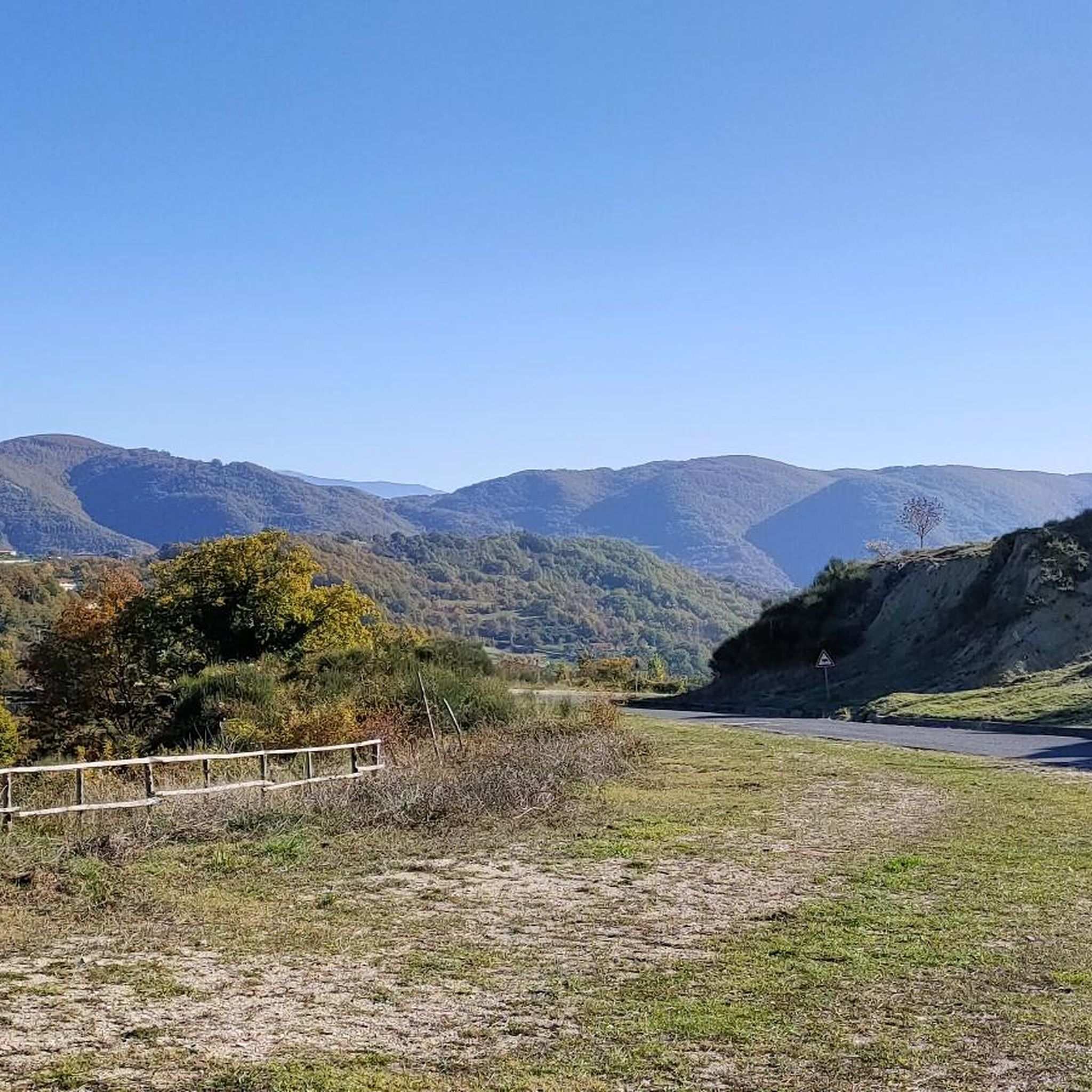
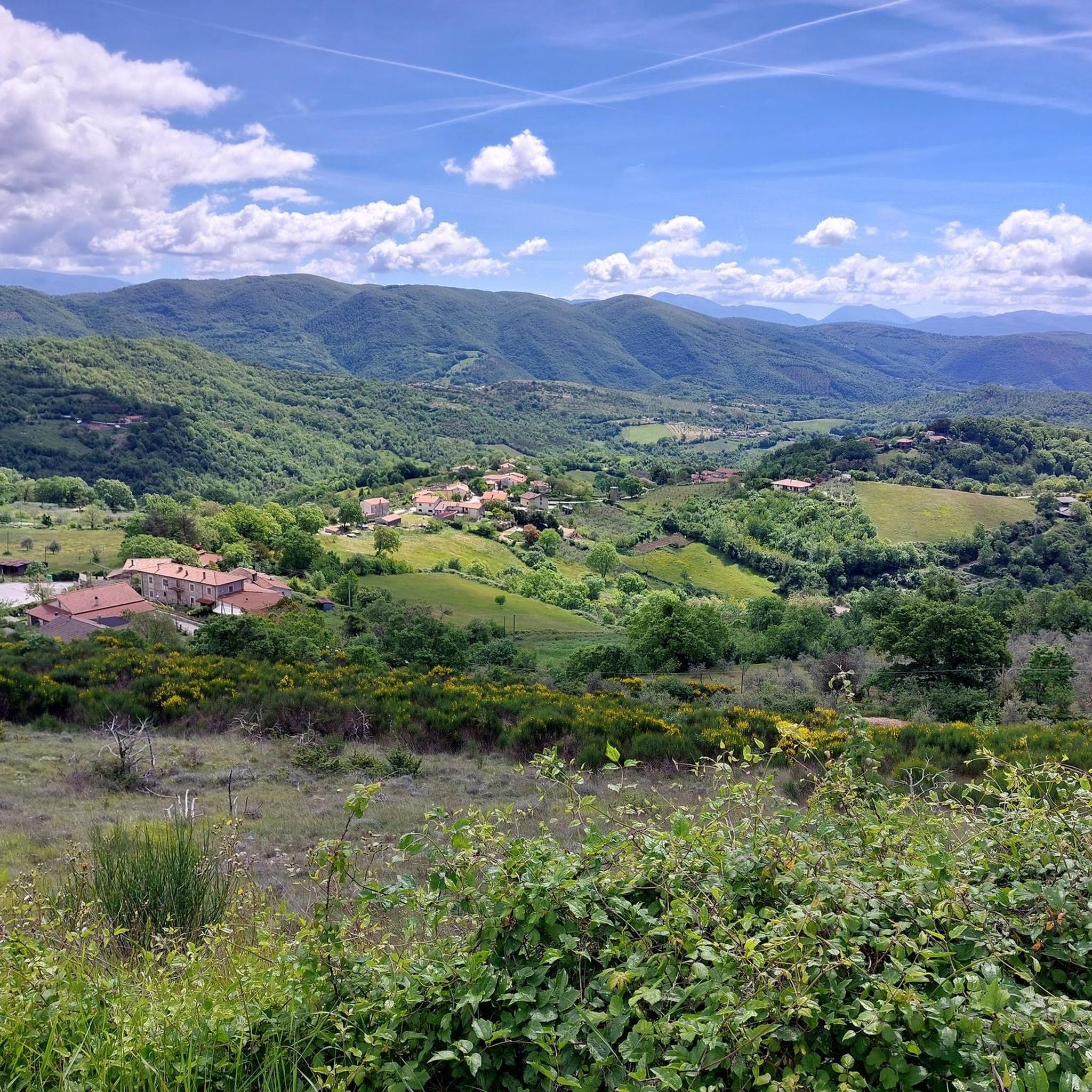
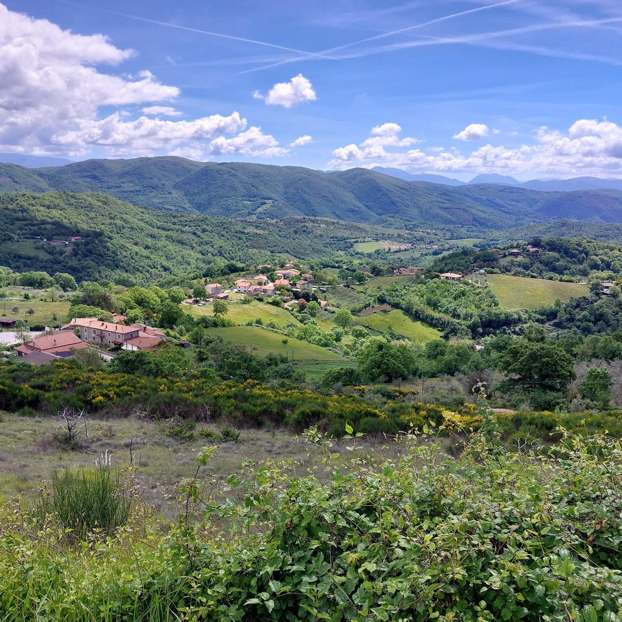
A nice stop on the Sabina tour. Great view of the Tiber Valley from above.
0
0

Magnificent little houses perched on a tuff spur
0
0

The Osteria del Tancia was built towards the end of the Middle Ages, around the 15th century. It arose in a strategic position, on the pass of Mount Tancia, the highest peak of the Sabine Mountains, at about 800 meters above sea level. For centuries, the Osteria del Tancia represented the most important stop along the Via del Tancia, which was the main connection between the Rieti basin and the Sabina Tiberina. This road was frequently traveled by merchants, shepherds who practiced transhumance, pilgrims and bandits.
0
0

Panoramic walk with an exhibition of military vehicles.
0
0
Short panoramic walk with an exhibition of military vehicles.
0
0
Frequently Asked Questions
How many gravel bike trails are available around Salisano?
There are currently 4 challenging gravel bike trails documented around Salisano on komoot, offering diverse routes through the Sabina hills. These routes are generally suited for experienced riders due to significant elevation changes and varied terrain.
Are there any easy or family-friendly gravel bike trails near Salisano?
The gravel bike trails around Salisano are generally classified as difficult, featuring significant elevation gains and varied terrain. They are best suited for experienced riders rather than beginners or families looking for easy routes.
What kind of terrain can I expect on gravel bike trails in the Salisano area?
The terrain around Salisano is characterized by rolling hills, unpaved roads, and tracks that often pass through agricultural land and wooded areas. You can expect varied surfaces and significant elevation changes, including both climbs and descents, connecting historic villages and river valleys.
Are there any circular gravel bike routes available?
Yes, all the documented gravel bike routes around Salisano are circular. For example, the View of Fara in Sabina – Fara Sabina loop from Talocci is a 23.8-mile (38.2 km) loop, and the Calcata Historic Village – Calcata Vecchia loop from Poggio Mirteto is a longer 48.5-mile (78.0 km) circular path.
What are some of the longer or more challenging gravel bike routes in the region?
For a significant challenge, consider the Calcata Historic Village – Calcata Vecchia loop from Poggio Mirteto, which is 48.5 miles (78.0 km) long with over 3,500 feet (1,069 meters) of climbing. Another demanding option is the Rieti Cycle Path – Roman Bridge over the Velino River loop from Frasso Sabino, covering 42.0 miles (67.5 km) with over 1,000 meters of elevation gain.
What interesting sights or landmarks can I see along the gravel bike trails?
Many routes pass through scenic areas and near points of interest. You might encounter natural attractions like the Nazzano Tevere-Farfa Nature Reserve or the Pozze del Diavolo Waterfall. Historic sites such as the Abbey of Farfa are also within reach of some routes.
Are there any viewpoints or scenic spots on the gravel bike routes?
The routes often traverse rolling hills, offering panoramic views of the Sabina landscape. Specific viewpoints are not always explicitly marked, but the elevated sections and open agricultural areas provide many opportunities for scenic vistas. The View of Fara in Sabina – Torrita Tiberina Bridge loop from Poggio Mirteto, for instance, suggests scenic outlooks.
What is the best time of year for gravel biking around Salisano?
Spring and autumn are generally ideal for gravel biking in the Salisano area. The weather is milder, and the landscapes are vibrant. Summers can be hot, making early morning or late afternoon rides preferable, while winters can be cooler and potentially wetter on unpaved sections.
Where can I find parking for gravel biking trails near Salisano?
Parking availability varies by starting point. Many routes begin near villages or towns like Talocci, Poggio Mirteto, or Frasso Sabino, where public parking might be available. It's advisable to check specific starting locations on the komoot tour pages for detailed parking information before you go.
Are there any opportunities for wild swimming near the gravel trails?
While the routes pass through river valleys, specific designated wild swimming spots are not directly integrated into the gravel bike trails. However, the Pozze del Diavolo Waterfall is a natural attraction that might offer opportunities for cooling off, though it's not directly on a bike route.
What kind of natural monuments can I explore in the Salisano area?
The region boasts several natural monuments. You can visit the Nazzano Tevere-Farfa Nature Reserve, explore the San Michele Cave, or even reach summits like Monte Pizzuto, which offer stunning views and natural beauty.
What is the typical duration for a gravel bike ride in this area?
The duration of gravel bike rides around Salisano varies significantly depending on the route and your pace. For example, the View of Fara in Sabina – Fara Sabina loop from Talocci typically takes around 3 hours, while longer routes like the Roman Bridge over the Velino River – Rocca Sinibalda Castle loop from Torricella in Sabina can take closer to 5 hours.
Most popular attractions around Salisano

Get inspired with the komoot mobile app


Explore more
Browse the best Gravel rides in other regions.
