The best waterfall hikes and walks in Obersimmental-Saanen
4.6
(2139)
18,716
hikers
23
hikes
Waterfall hiking trails in Obersimmental-Saanen are found within the Bernese Oberland of the Swiss Alps, a region characterized by diverse landscapes. The terrain features lush meadows, dense forests, and clear streams, with significant elevation changes. Notable natural features include alpine lakes and dramatic waterfalls like the Simmen Falls and Sibe Brünne. The area offers a network of well-signposted routes suitable for various skill levels.
Best waterfall hiking trails in Obersimmental-Saanen
- The most popular waterfall hiking route is To the Sibe…
Last updated: July 8, 2026
4.8
(84)
589
hikers
5.57km
01:56
300m
300m
Easy hike. Great for any fitness level. Easily-accessible paths. Suitable for all skill levels.
4.9
(25)
271
hikers
10.4km
05:20
930m
930m
Hard hike. Very good fitness required. Sure-footedness, sturdy shoes and alpine experience required.

Sign up for free
4.8
(42)
343
hikers
8.47km
03:38
660m
660m
Moderate hike. Good fitness required. Mostly accessible paths. Sure-footedness required.
4.6
(39)
332
hikers
12.4km
03:30
230m
230m
Moderate hike. Good fitness required. Easily-accessible paths. Suitable for all skill levels.
4.9
(35)
208
hikers
13.5km
04:36
640m
640m
Moderate hike. Good fitness required. Easily-accessible paths. Suitable for all skill levels.
Get access to more routes and recommendations from other explorers.
Sign up for free
Already have an account?
Our route recommendations are based on thousands of hikes, rides, and runs completed by other people on komoot.
Start today with a free account
Your next adventure awaits.
Login or Signup
Popular around Obersimmental-Saanen

Waterfall hikes around Iffigsee

Waterfall hikes around Saanen
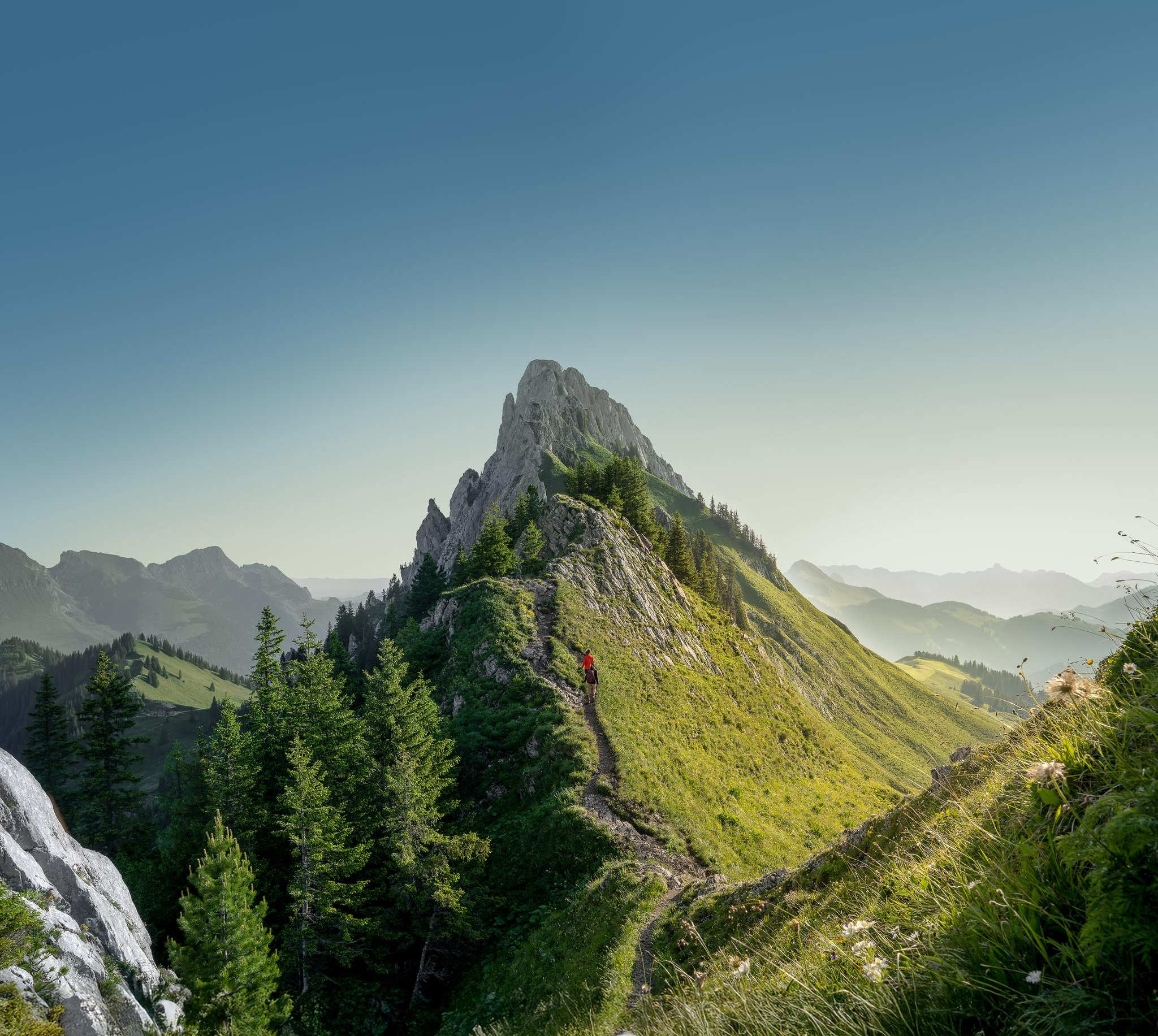
Zeit für mehr WANDERN – unsere 10 Highlights
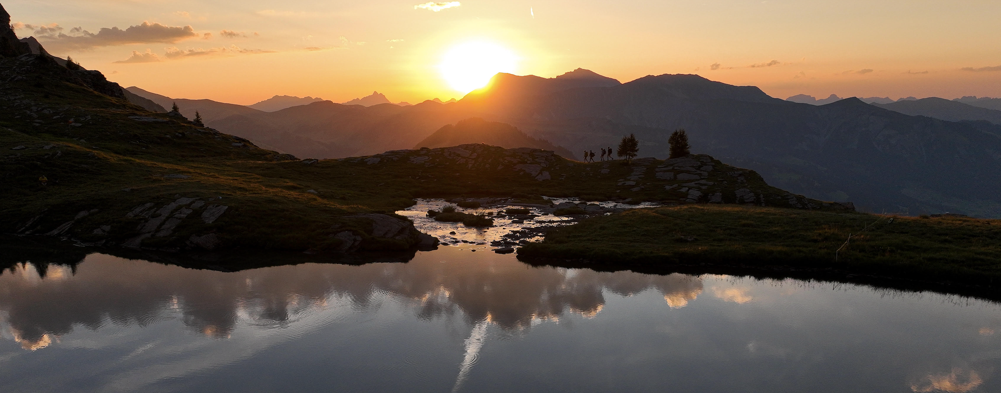
Late Summer: Great Hiking in Adelboden-Lenk-Kandersteg
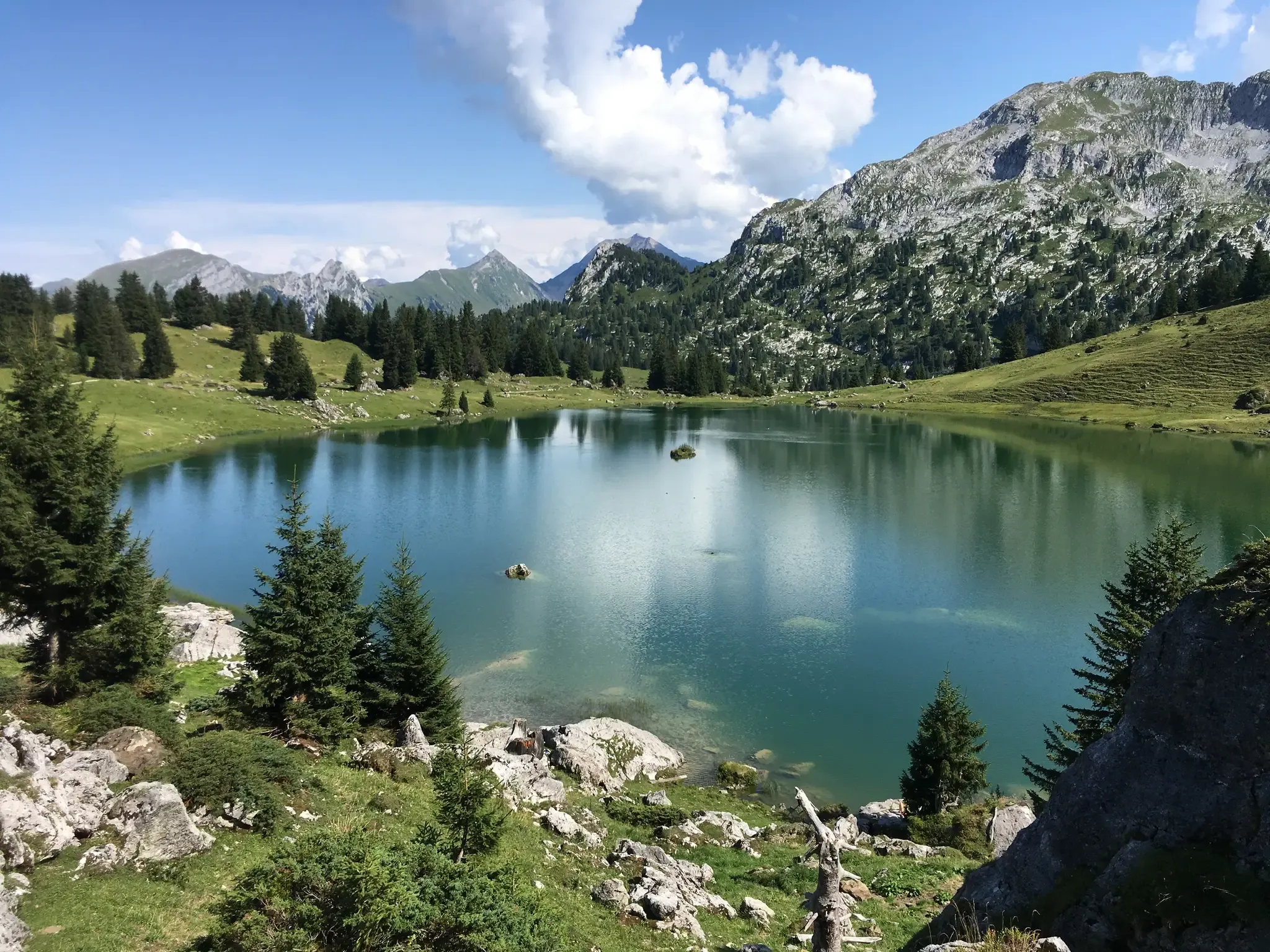
Mountain lakes, streams and castles – Berner Voralpenweg
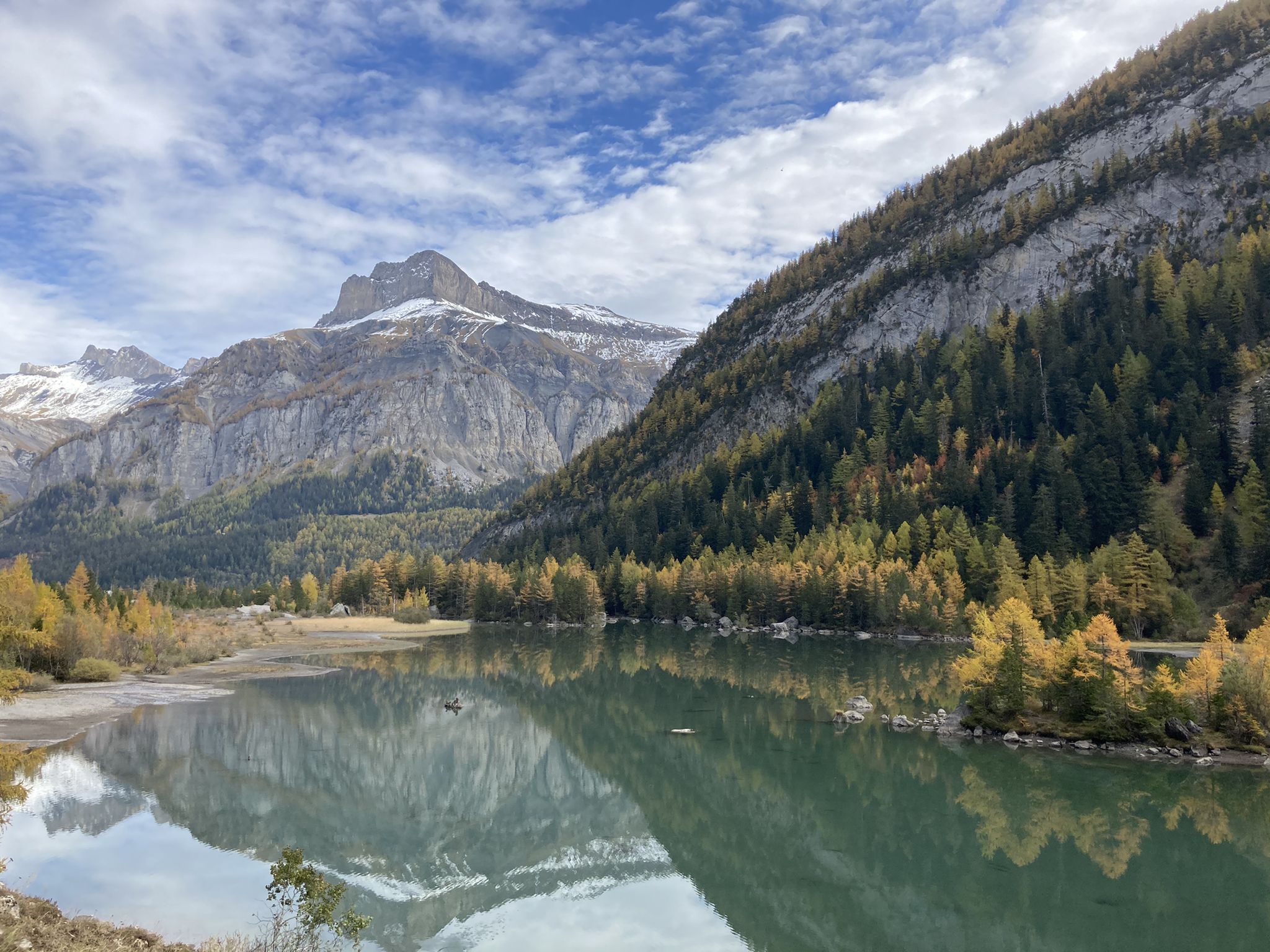
Mighty mountains and idyllic lakes – Sanetsch-Muveran-Weg hiking trail
Glittering mountain lakes around Bern – Blogger Hike Challenge 2019
Hiking in Bernese Oberland — where Goethe left his mark

Hope 1000 – Bikepacking Switzerland in 11 stages
The Lakes Route – Picture-postcard views in the Swiss alpine foothills
Other adventures in Obersimmental-Saanen


Tips from the Community

The Tungelschuss waterfall plunges roaring water from the Tungelbach stream over several cascades into the depths – particularly spectacular after snowmelt. The viewing point on the western shore of Lake Lauenen, about 400m from the parking lot, offers a clear view of the waterfall – often accompanied by a loud roar. 🥾 Hike & Access Access: From the parking lot at Lake Lauenen, a well-marked hiking trail takes about 5–10 minutes to the observation point. A popular circular hike (approximately 9–12km, 3–5 hours) connects Lake Lauenen, Tungelschuss, Geltenschuss, and the Geltenhütte SAC – a moderately difficult hike with an elevation gain of around 700m. 📌 Facts at a Glance Altitude approx. 1430m above sea level. M. Distance from the parking lot to the waterfall observation point: approx. 400 m Hiking route: Circular route with Geltenschuss and Geltenhütte possible Duration: Circular route: approx. 3–5 hours, moderate difficulty (T2–T3)
0
0

The hike from Lauenensee to the Geltenhütte SAC is a fantastic mountain hike with waterfalls, alpine scenery, and spectacular scenery ⛰️💧🌿. Route: Starts at the Lauenensee parking lot (CHF 15). The trail initially leads leisurely along the lake, then steadily ascends through the Gelten and Lauibach valleys. Impressive waterfalls and rock faces abound. You reach the Geltenhütte (2,002 m) after about 2.5 to 3 hours (approx. 620 m elevation gain). Highlights: ✅ Idyllic Lauenensee right at the start ✅ Wild waterfalls ✅ Quiet, well-marked mountain trail ✅ Refreshments & overnight stay at the Geltenhütte SAC 🛏️🍲 ✅ Possibility of extending the hike, e.g. B. to the Arpelistock Equipment: Sturdy hiking boots 🥾, weather protection 🧥, plenty of water & snacks 💧🥪, and possibly walking poles 🦯. In early summer, there may be patches of snow – surefootedness is required. Recommendation: Set off early in the morning ⏰, especially on warm days – the trail is exposed to the sun.
1
1

Very nice there, but very crowded because it is easy to reach
0
0


Fabuous view into the Simme Valley towards the imposing peak of the Laufbodehore.
0
0

Gorges beautifully eroded by water.
0
0
This part of the hike is not entirely safe, but can be easily managed by focusing on the sidewalk.
0
0
Frequently Asked Questions
How many waterfall hiking trails are available in Obersimmental-Saanen?
Obersimmental-Saanen offers a diverse network of over 20 waterfall hiking trails. These routes range from easy, family-friendly walks to more challenging alpine climbs, ensuring options for various skill levels.
What is the best time of year to visit the waterfalls in Obersimmental-Saanen?
The ideal time to experience the waterfall hikes in Obersimmental-Saanen is generally from May to October. During these months, the region boasts vibrant wildflower displays, lush green landscapes, and the waterfalls are typically at their most impressive due to snowmelt and rainfall. While some trails are accessible in winter, conditions can be challenging.
Are there any easy or family-friendly waterfall hikes in the region?
Yes, Obersimmental-Saanen has several family-friendly options. An excellent choice is To the Sibe Brünne, an easy 5.6 km trail that leads to a unique wall of waterfalls. The region also features themed trails like "Saani's sound experiences" which combine hiking with interactive elements, perfect for families.
Can I bring my dog on the waterfall trails?
Many trails in Obersimmental-Saanen are dog-friendly, allowing you to enjoy the stunning scenery with your canine companion. However, it's always advisable to check specific trail regulations or local signage, especially in nature reserves or areas with livestock. Remember to keep your dog on a leash and clean up after them.
Are there any circular waterfall routes in Obersimmental-Saanen?
Yes, for those who prefer circular walks, the Geltenbach Waterfall – View of the Waterfall loop from Lauenensee is a fantastic option. This moderate 8.5 km trail takes you through varied alpine scenery, offering beautiful views of the Geltenbach Waterfall and the picturesque Lake Lauenen.
What kind of natural features can I expect to see along the waterfall hikes?
Beyond the dramatic waterfalls like the Simmen Falls and Sibe Brünne, you'll encounter a rich tapestry of natural beauty. The region features lush meadows, dense forests, crystal-clear streams, and breathtaking panoramic views of the Bernese Alps. You might also spot unique moorlands and deep gorges, adding to the diverse landscape.
Are there any challenging waterfall hikes for experienced hikers?
Absolutely. For experienced hikers seeking a challenge, the Over the Simmen Falls to Flueseeli route is a difficult 10.4 km path with significant elevation gain. This longer trail offers stunning views and passes the impressive Simmen Falls, leading to the serene Flueseeli lake.
What do other hikers enjoy most about the waterfall trails in Obersimmental-Saanen?
The waterfall trails in Obersimmental-Saanen are highly rated by the komoot community, with an average score of 4.6 stars from over 2,000 reviews. Hikers frequently praise the stunning natural beauty, the well-maintained and signposted paths, and the diversity of routes that cater to all abilities, from gentle strolls to challenging alpine adventures.
Are there places to eat or stay near the waterfall trails?
Yes, many trails pass through charming traditional villages like Gstaad, Saanen, and Zweisimmen, where you can find local architecture, cuisine, and accommodation. Rustic mountain restaurants and alpine inns along the way offer regional specialties, such as Gstaad mountain cheese. For specific options, you can explore highlights like Wispile Mountain Lodge or Hotel & Restaurant Hornfluh.
How can I reach the waterfall trails using public transport?
Obersimmental-Saanen is well-connected by public transport, making many trailheads accessible without a car. The region has a good network of buses and trains. For example, the Simmen Falls are easily reachable from Lenk, and other villages like Zweisimmen and Gstaad serve as excellent starting points for various hikes. It's recommended to check local timetables for specific routes.
Are there any other notable natural attractions besides the main waterfalls?
Beyond the prominent Simmen Falls and Sibe Brünne, the region is home to other captivating natural features. You can explore the dramatic Tungelschuss Waterfall, or discover the unique geological formations within the Wallbach Gorge. The area also boasts several beautiful alpine lakes, such as Lake Lauenen and Arnensee, which often have scenic paths around them.
Most popular routes in Obersimmental-Saanen
Most popular attractions in Obersimmental-Saanen

Get inspired with the komoot mobile app


Didn’t find what you were looking for?
Check out more Hikes throughout Obersimmental-Saanen below and find the perfect route in your destination.
Explore more
Browse the best Hikes in other regions.
