The best waterfall hikes and walks around Admont
4.5
(1796)
12,896
hikers
6
hikes
Waterfall hiking trails around Admont are set within Austria's Styria region, characterized by rugged limestone peaks and deep gorges. The landscape features lush green forests, serene alpine pastures, and the Enns and Johnsbach Rivers, which carve through the valley. This area, part of the Gesäuse National Park, offers diverse terrain for hikers seeking impressive waterfalls and varied natural beauty.
Best waterfall hiking trails around Admont
- The most popular waterfall hiking route is Mühlauer Waterfall – View of Haller Wand loop…
Last updated: October 10, 2026
4.6
(28)
107
hikers
5.85km
01:41
140m
140m
Easy hike. Great for any fitness level. Easily-accessible paths. Suitable for all skill levels.
4.6
(21)
80
hikers
5.07km
01:28
140m
140m
Easy hike. Great for any fitness level. Easily-accessible paths. Suitable for all skill levels.

4.4
(7)
24
hikers
17.4km
04:53
340m
340m
Moderate hike. Good fitness required. Easily-accessible paths. Suitable for all skill levels.
4.5
(4)
21
hikers
2.42km
00:45
100m
100m
Easy hike. Great for any fitness level. Easily-accessible paths. Suitable for all skill levels.
4.5
(2)
7
hikers
7.89km
02:19
220m
220m
Moderate hike. Good fitness required. Easily-accessible paths. Suitable for all skill levels.
Our route recommendations are based on thousands of hikes, rides, and runs completed by other people on komoot.
Start today with a free account
Your next adventure awaits.
Popular around Admont

North Alpine Trail 01 – Hike across Austria in 49 days
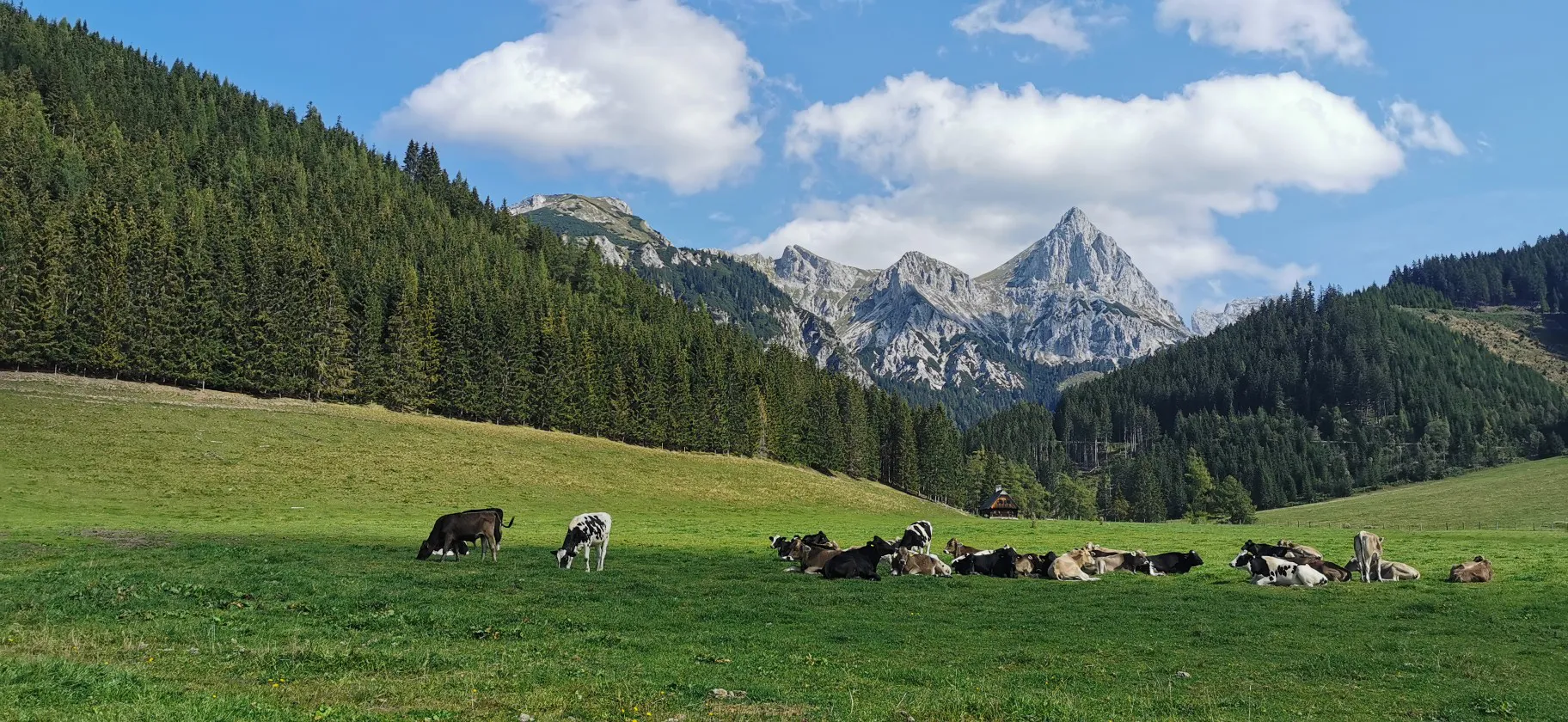
Via Alpina through Styria in Austria – From south to north

Eisenwurzen Trail – Hiking through Austria from north to south
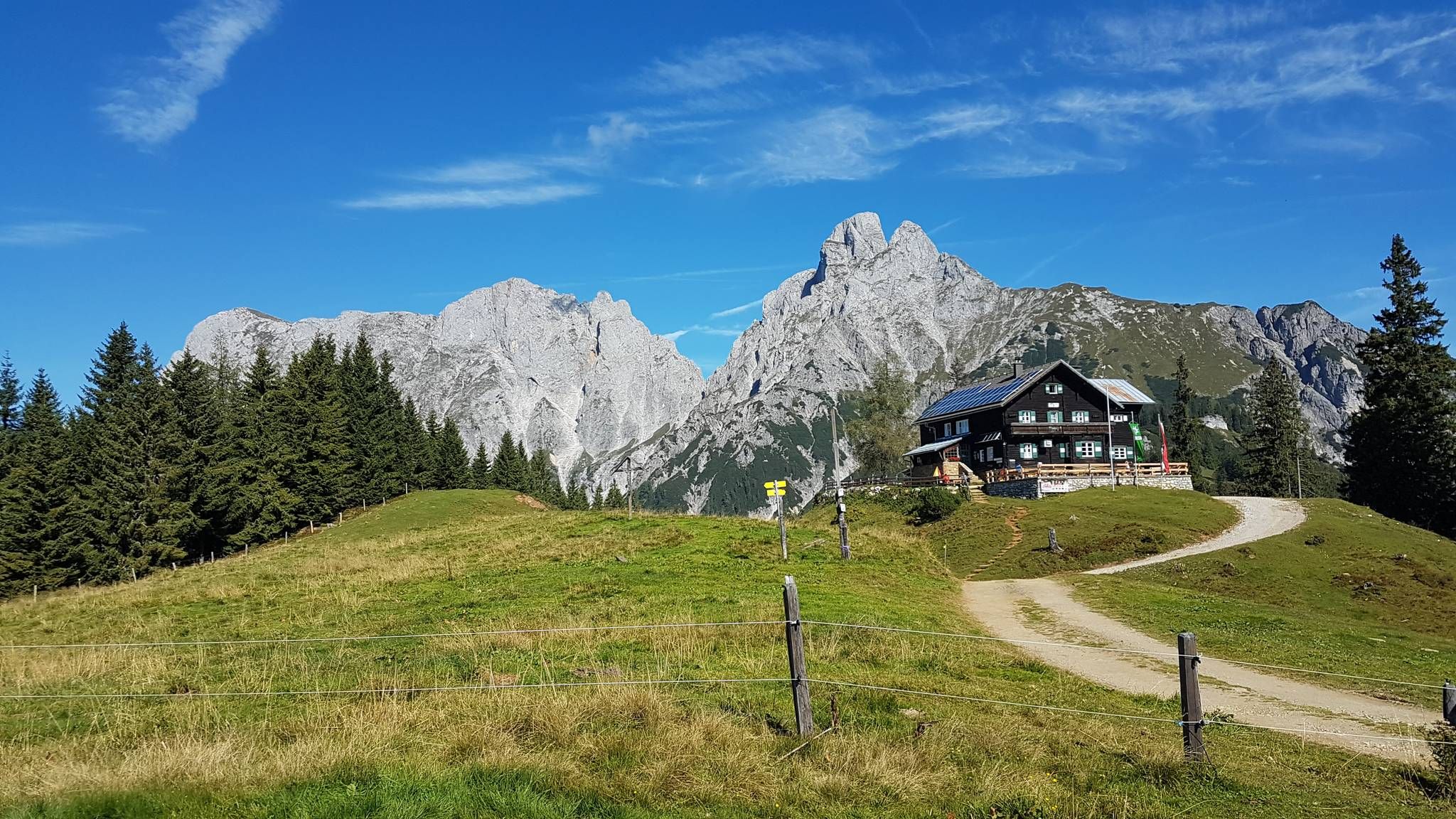
Gesäuse Hut Tour — Exploring the stunning Styria National Park
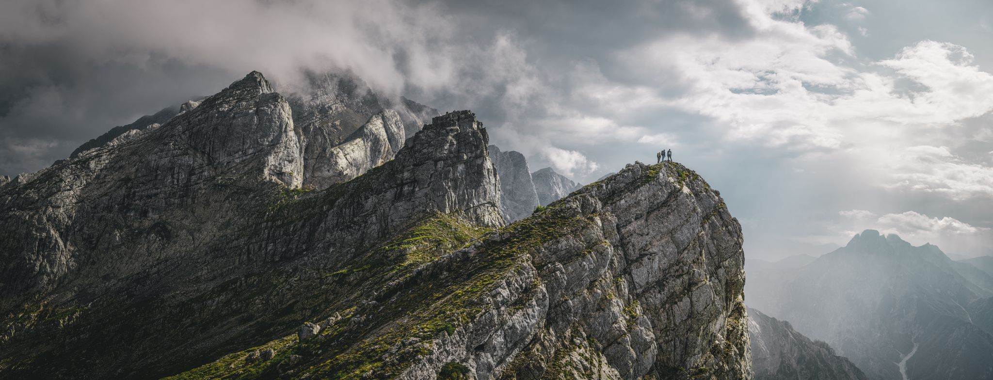
Discover the Gesäuse National Park in Austria
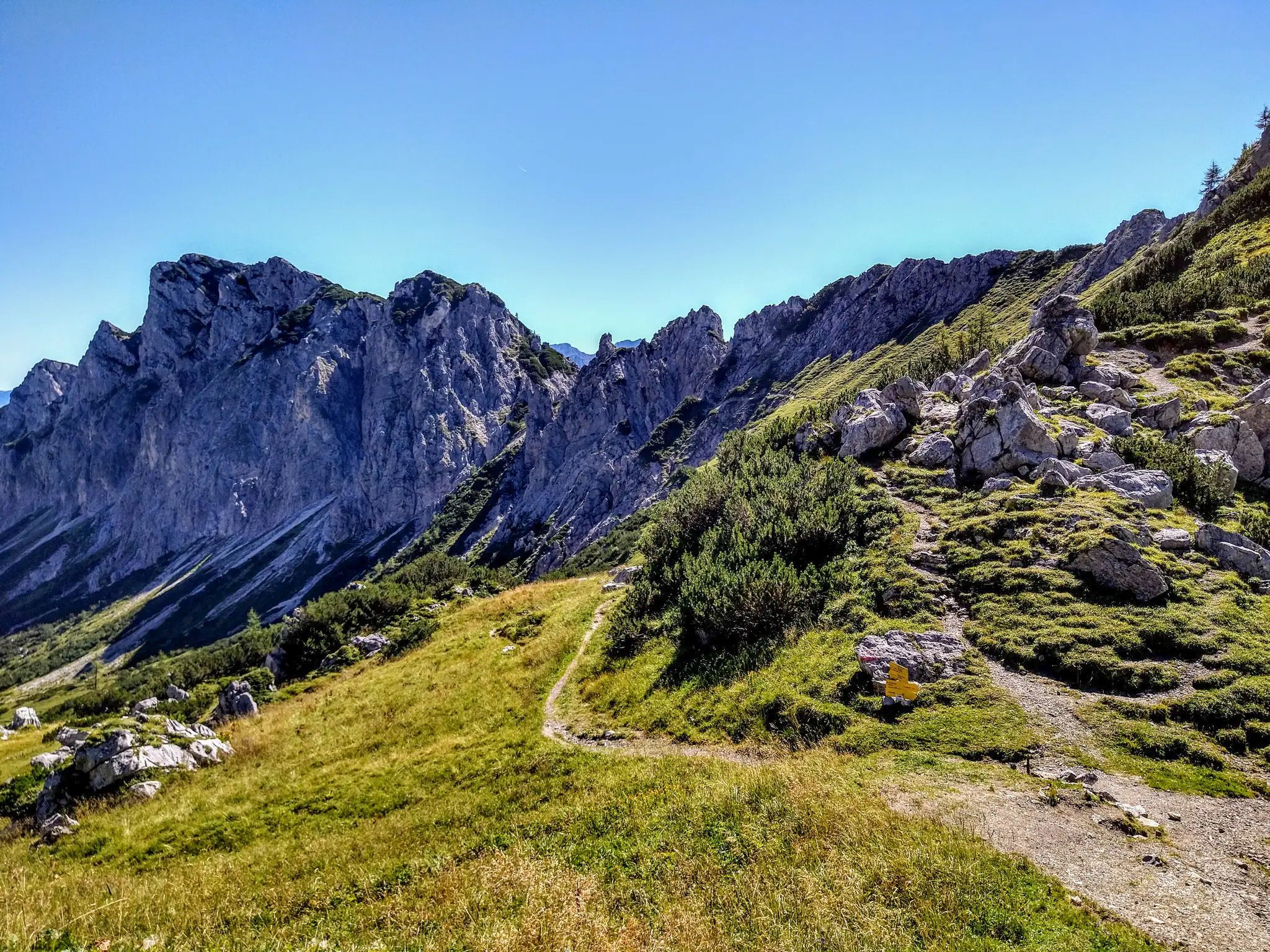
On the cusp of the wilderness – Lynx Trail
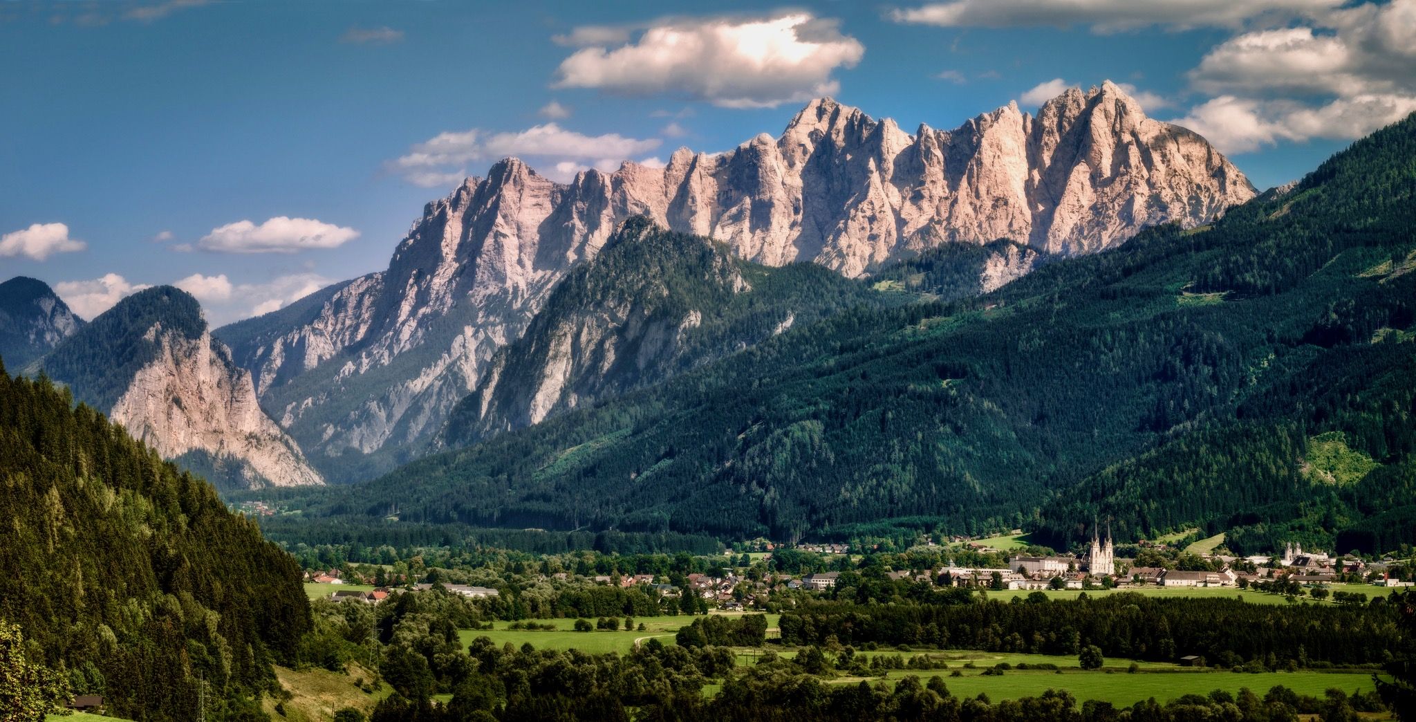
A hiking pilgrimage in Styria and Carinthia – Hemma Pilgrim Trail

Discover Styria in Austria on foot – ‘From Glacier to Wine’ North Route
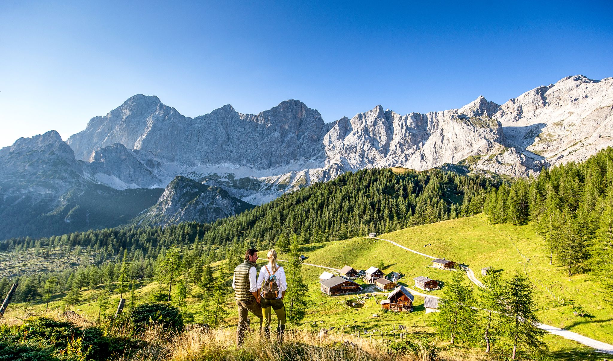
Endless hiking experiences in Styria
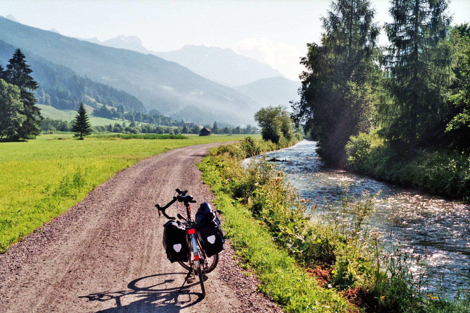
Enns cycle path – In 7 stages through the heart of Austria


Tips from the Community

Unfortunately, it has become a paid parking lot since January 2026 (7,- daily fee 😡)
0
0

This car park is the starting point for the ascent of the Grosser Pyhrgas and the Scheiblingstein.
4
0

Everything else is forest paths, this path is a very beautiful path through the green forest.
1
0


The Schwarzenbach carries different amounts of water depending on the season. In the clear mountain stream you can discover fish and on the stony bank you can cool your feet.
0
0
Frequently Asked Questions
How many waterfall hiking trails are available around Admont?
The Admont region offers a selection of 6 dedicated waterfall hiking trails. These routes vary in length and difficulty, providing options for different preferences.
Are there easy waterfall hikes suitable for beginners in the Admont area?
Yes, there are several easy waterfall hikes around Admont. For instance, the Mühlauer Waterfall – View of Haller Wand loop from Hall is an easy 3.6-mile (5.8 km) trail that takes about 1 hour 40 minutes to complete, offering scenic views of the Mühlauer Waterfall and Haller Wand.
What kind of difficulty can I expect on waterfall trails near Admont?
The waterfall trails around Admont cater to various fitness levels. You'll find 4 easy routes, perfect for leisurely strolls, and 2 moderate routes for those seeking a bit more challenge. The region's rugged limestone peaks and deep gorges provide a diverse backdrop for all trails.
Are there family-friendly waterfall hikes around Admont?
Absolutely. Many of the easy routes are suitable for families. The Mühlauer Waterfall – Green Forest loop from Mühlau, for example, is an easy 2.5-mile (4.1 km) path through green forests, ideal for a family outing to enjoy the waterfall and nature.
Can I bring my dog on waterfall hikes in Admont and the Gesäuse National Park?
Generally, dogs are welcome on many hiking trails in the Admont region, including those within the Gesäuse National Park. However, it's always recommended to keep them on a leash, especially in protected areas and near wildlife. Always check specific trail regulations before you go.
Are there circular waterfall hiking routes available near Admont?
Yes, several circular routes allow you to start and end at the same point. The Mühlauer Waterfall loop from Mühlau is a great example, offering a 1.5-mile (2.4 km) easy loop to experience the waterfall.
What are some notable natural attractions or landmarks near the waterfall trails?
Beyond the waterfalls themselves, the Admont area, particularly within the Gesäuse National Park, boasts impressive natural features. You can explore the dramatic Dr. Vogelgesang Gorge or witness the powerful Enns River carving its way through the landscape. The region is also home to other gorges like Nothklamm Gorge.
What do other hikers enjoy most about the waterfall trails around Admont?
The trails around Admont are highly regarded by the komoot community, with an average rating of 4.6 stars from over 1,400 reviews. Hikers frequently praise the stunning natural beauty, the dramatic limestone peaks, and the refreshing presence of the waterfalls. The varied terrain, from lush forests to alpine pastures, also receives positive feedback.
Is there public transport available to reach the trailheads for waterfall hikes?
The Gesäuse National Park, which encompasses many of the hiking areas around Admont, is accessible by public transport. For detailed information on bus and train connections to specific trailheads, it's best to consult the official National Park website: nationalpark-gesaeuse.at.
Are there any longer, more challenging waterfall hikes for experienced hikers?
While most listed waterfall routes are easy to moderate, the region offers longer options that combine waterfall viewing with more extensive hiking. The Mühlauer Waterfall – View of Haller Wand loop from Admont is a moderate 10.8-mile (17.4 km) trail, taking nearly 5 hours, which provides a more extended experience through varied terrain.
What is the best time of year to visit Admont for waterfall hikes?
The spring and summer months (May to September) are generally ideal for waterfall hikes in Admont. During spring, snowmelt often enhances the waterfalls' flow, while summer offers pleasant temperatures for hiking. Autumn also provides beautiful foliage, though water levels might be lower. Winter hikes are possible but require appropriate gear and caution due to snow and ice.
Are there places to eat or drink near the waterfall trails in Admont?
Admont town itself offers various cafes, pubs, and restaurants where you can refuel after your hike. While specific eateries might not be directly at every trailhead, you'll find options within a short drive or walk from the main starting points, especially in the town center.
Most popular routes around Admont
Most popular attractions around Admont

Get inspired with the komoot mobile app


Explore more
Browse the best Hikes in other regions.
