The best waterfall hikes and walks in the Kalkalpen National Park Region
4.6
(7001)
51,231
hikers
25
hikes
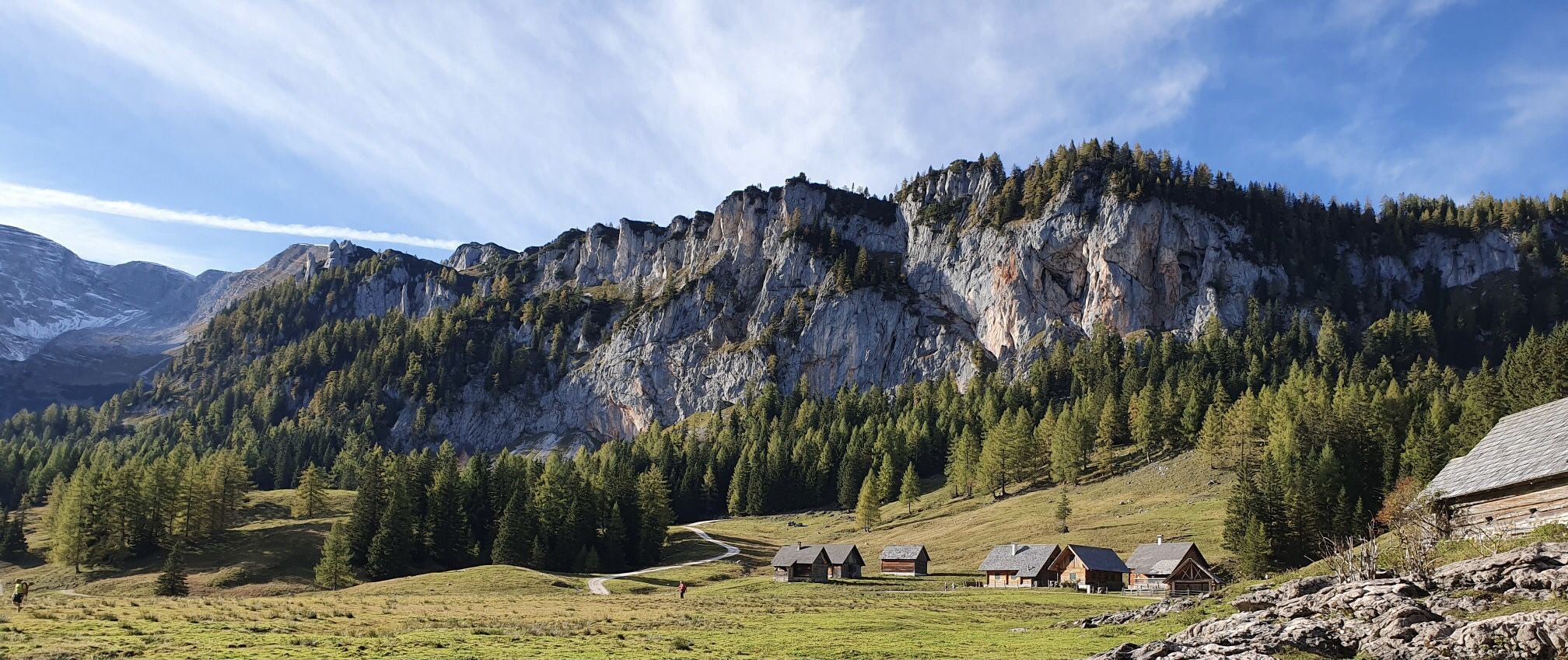
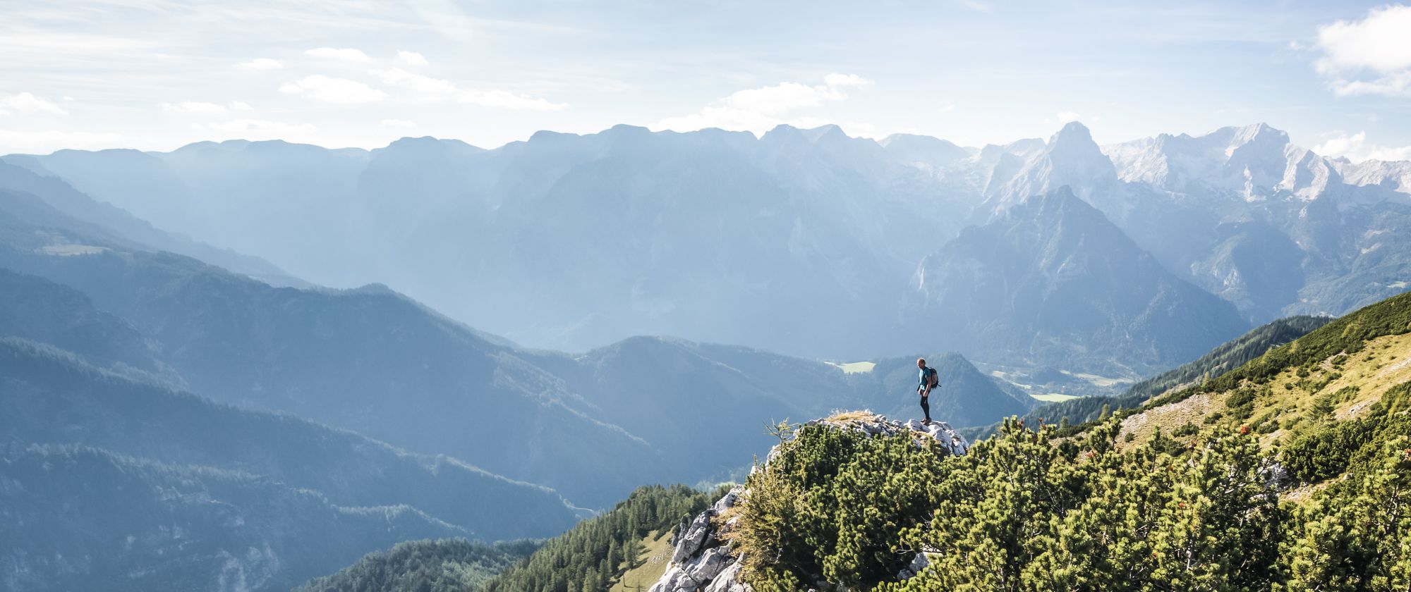
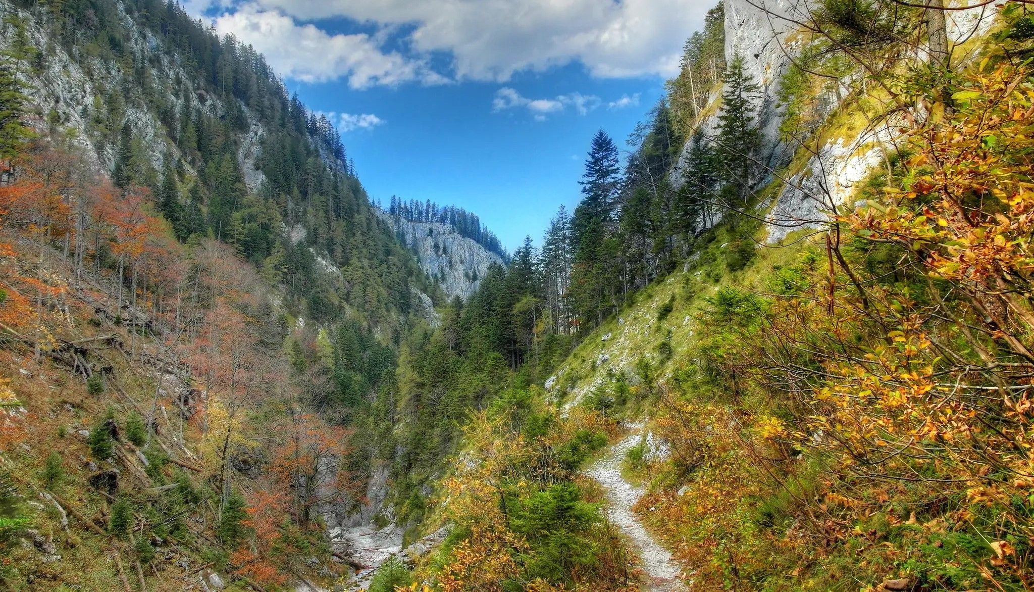
Hiking in the Kalkalpen National Park Region offers diverse landscapes, characterized by Europe's largest forested area, including ancient beech forests recognized as a UNESCO World Heritage Site. The region is part of the Northern Limestone Alps, featuring mountainous terrain like the Sengsengebirge, with elevations reaching the Hohe Nock. Crystal-clear streams and wild gorges, such as the Dr. Vogelgesang Gorge, carve through the landscape, providing varied terrain for waterfall hiking trails. Panoramic views of surrounding peaks are accessible from elevated points…
Last updated: August 17, 2026
4.8
(19)
98
hikers
17.3km
04:59
290m
290m
Moderate hike. Good fitness required. Mostly accessible paths. Sure-footedness required.
3.0
(1)
8
hikers
11.6km
04:08
470m
470m
Hard hike. Good fitness required. Sure-footedness, sturdy shoes and alpine experience required.

Sign up for free
4.5
(30)
128
hikers
11.0km
03:20
300m
300m
Moderate hike. Good fitness required. Mostly accessible paths. Sure-footedness required.
4.8
(39)
150
hikers
11.0km
02:54
110m
110m
Moderate hike. Good fitness required. Easily-accessible paths. Suitable for all skill levels.
5.0
(2)
12
hikers
21.5km
06:09
510m
510m
Hard hike. Very good fitness required. Easily-accessible paths. Suitable for all skill levels.
Get access to more routes and recommendations from other explorers.
Sign up for free
Already have an account?
Our route recommendations are based on thousands of hikes, rides, and runs completed by other people on komoot.
Start today with a free account
Your next adventure awaits.
Login or Signup
Other adventures in the Kalkalpen National Park Region


Tips from the Community

A challenging, sure-footed but beautiful climb.
0
0

On the circular hiking trail with the option to climb Poppenberg. Far away from major paths, through dense forest.
0
0
A lovely bench, right by the signpost, with a beautiful view of the valley and the mountains. A perfect spot for a short rest.
0
0


Additional variant of the Triftsteig
1
0

The path itself is beautiful, but unfortunately, in mid-April, there is still a lot of fallen leaves, which makes the path very slippery, and the many fallen trees sometimes block the path to such an extent that you have to dangerously "scramble" around them.
0
0


Historic path through "real wilderness" in a beautiful beech forest that is part of the Kalkalpen National Park. Woodcutters and alpine farmers once used this path.
1
0
Frequently Asked Questions
How many waterfall hiking trails are available in the Kalkalpen National Park region?
The Kalkalpen National Park region offers a diverse selection of over 20 waterfall hiking trails. These routes cater to various skill levels, from leisurely walks to more challenging ascents, allowing you to explore the park's stunning natural beauty.
What are the difficulty levels of waterfall hikes in Kalkalpen National Park?
You'll find a range of difficulty levels for waterfall hikes in the region. There are 7 easy trails perfect for a relaxed outing, 11 moderate routes offering a good balance of challenge and accessibility, and 6 difficult trails for experienced hikers seeking a more strenuous adventure. This variety ensures there's a suitable option for almost every hiker.
When is the best time to visit the Kalkalpen National Park for waterfall hikes?
The best time to experience the waterfalls in Kalkalpen National Park is typically during spring and early summer, when snowmelt contributes to higher water volumes, making the falls particularly impressive. Autumn also offers beautiful scenery with vibrant foliage, though water levels might be lower. Always check local weather conditions before your visit.
Are there any family-friendly waterfall hikes in the Kalkalpen National Park region?
Yes, the Kalkalpen National Park offers several family-friendly options. Many trails are designed to be shorter and less challenging, often with additional attractions along the way. For instance, sections of paths leading into Bodinggraben are even suitable for all-terrain strollers, making them accessible for families with young children.
Can I bring my dog on waterfall hiking trails in Kalkalpen National Park?
While the Kalkalpen National Park is generally dog-friendly, specific regulations may apply to certain areas or trails, especially within the core zone or protected wildlife habitats. It's always recommended to keep dogs on a leash and ensure they do not disturb wildlife. Check local signage or visitor information for the most current rules regarding pets on specific waterfall trails.
What other natural features can I explore near the waterfall trails?
Beyond the waterfalls, the Kalkalpen National Park region is rich in natural wonders. You can explore ancient beech forests, a UNESCO World Heritage Site, or discover the mountainous terrain of the Sengsengebirge. Notable natural highlights include the Hoher Nock and the Schleierfall Waterfall. The park also features extensive karst regions with over 70 caves.
Are there any circular waterfall routes in the Kalkalpen National Park region?
Yes, there are several circular routes that allow you to experience the waterfalls and return to your starting point. A popular moderate option is the Kneipp Area, Hinterstoder – Stromboding Waterfall loop from Tambergau, which takes you through varied terrain. Another well-liked choice is the Kneipp Area, Hinterstoder – Stromboding Waterfall loop from Salmeranger, offering scenic views around the Stromboding Waterfall.
What do other hikers say about the waterfall trails in Kalkalpen National Park?
The waterfall trails in Kalkalpen National Park are highly regarded by the komoot community, boasting an average rating of 4.6 stars from over 1500 reviews. Hikers frequently praise the pristine natural environment, the well-maintained paths, and the stunning beauty of the waterfalls and surrounding ancient beech forests.
Are there challenging waterfall treks for experienced hikers?
Absolutely. For those seeking a more demanding experience, routes like the Anlaufalm – Hirschkogelsattel Picnic Area loop from Parkplatz Weißwasser offer significant elevation gain through forested areas. Another challenging option is the Kneipp Area, Hinterstoder – Stromboding Waterfall loop from Vorderstoder, which covers a longer distance and considerable ascent.
Where can I find visitor information or assistance in the Kalkalpen National Park?
The Kalkalpen National Park has visitor centers located in Molln, Ennstal, and near Rosenau. These centers provide valuable information, maps, and exhibitions about the park's ecology and attractions. You can also inquire about guided hikes led by national park rangers for a deeper understanding of the region.
Are there any easy waterfall hikes suitable for beginners?
Yes, the park offers several easy trails perfect for beginners or those looking for a relaxed walk. These routes typically have minimal elevation gain and are well-maintained, allowing you to enjoy the beauty of the waterfalls without a strenuous effort. Look for trails designated as 'easy' in the guide for suitable options.
Is public transport available to access waterfall trails in the Kalkalpen National Park region?
While specific public transport connections directly to every trailhead might vary, the region does have some public transport options. The former Steyr Valley Railway route, for example, has been converted into a cycle path, which can help access parts of the Hintergebirge. It's advisable to check local bus schedules or regional transport services for connections to towns near the park's entrances.
What kind of views can I expect on waterfall hikes in the Kalkalpen National Park?
Beyond the waterfalls themselves, you can expect breathtaking panoramic views from various elevated points. From locations like the Wurbauerkogel panorama view tower, on clear days, you can see up to 21 peaks exceeding 2,000 meters. The trails also wind through ancient beech forests and along crystal-clear streams, offering diverse and picturesque scenery.
Most popular routes in the Kalkalpen National Park Region
Most popular attractions in the Kalkalpen National Park Region

Get inspired with the komoot mobile app


Explore more
Browse the best Hikes in other regions.
