The best walks and hikes around Buxières-Les-Mines
4.6
(21)
99
hikers
28
hikes
Hiking around Buxières-Les-Mines offers a variety of routes through a landscape characterized by woodlands, open fields, and gentle elevation changes. The region features a mix of natural paths and trails that often lead past historical sites. These routes provide opportunities to explore the local environment, with many paths suitable for relaxed walks. The terrain generally consists of rolling hills and forested areas, making it accessible for various hiking abilities.
Best hiking trails around Buxières-Les-Mines
- The most popular hiking route is…
Last updated: July 9, 2026
4.0
(2)
17
hikers
5.19km
01:21
30m
30m
Easy hike. Great for any fitness level. Easily-accessible paths. Suitable for all skill levels.
5.0
(1)
5
hikers
3.75km
01:02
60m
60m
Easy hike. Great for any fitness level. Easily-accessible paths. Suitable for all skill levels.

Sign up for free
3
hikers
7.33km
02:04
160m
160m
Moderate hike. Good fitness required. Easily-accessible paths. Suitable for all skill levels.
3
hikers
8.95km
02:27
140m
140m
Moderate hike. Good fitness required. Easily-accessible paths. Suitable for all skill levels.
3
hikers
12.9km
03:28
170m
170m
Moderate hike. Good fitness required. Easily-accessible paths. Suitable for all skill levels.
Get access to more routes and recommendations from other explorers.
Sign up for free
Already have an account?
Our route recommendations are based on thousands of hikes, rides, and runs completed by other people on komoot.
Start today with a free account
Your next adventure awaits.
Login or Signup

Tips from the Community


Frequently Asked Questions
How many hiking trails are available around Buxières-Les-Mines?
There are over 25 hiking routes in the Buxières-Les-Mines area, offering a variety of experiences through woodlands, open fields, and gentle hills. You'll find options ranging from easy strolls to more moderate excursions.
Are there easy hiking trails suitable for beginners or families in Buxières-Les-Mines?
Yes, Buxières-Les-Mines offers 10 easy hiking routes perfect for beginners or families. These trails typically feature gentle elevation changes and well-maintained paths. An example is the Beautiful Forest Path loop from La Borde, which is 3.4 miles (5.5 km) long and takes about 1 hour 24 minutes to complete.
What is the typical duration for hikes around Buxières-Les-Mines?
Hike durations vary, but many routes around Buxières-Les-Mines are designed for pleasant half-day outings. For instance, the Les Vernelles loop from Saint-Aubin-le-Monial is 2.3 miles (3.7 km) and takes about an hour, while the moderate Château de Murat loop from Chappes is 6.7 miles (10.8 km) and typically takes around 3 hours.
What kind of scenery can I expect on the hikes around Buxières-Les-Mines?
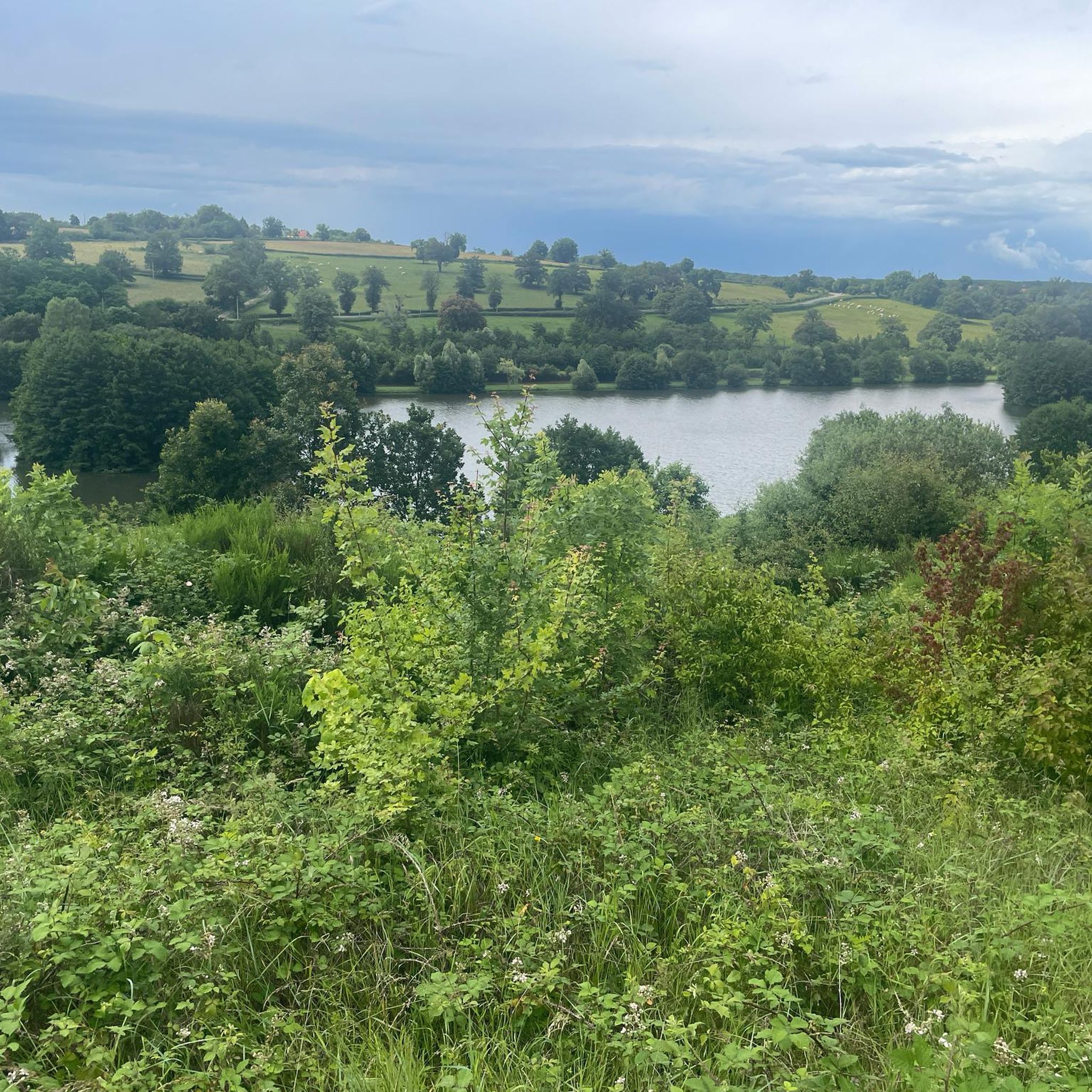
The landscape around Buxières-Les-Mines is characterized by a mix of dense woodlands, open agricultural fields, and rolling hills. Many trails also lead past historical sites, including châteaux, offering a blend of natural beauty and cultural interest.
Are dogs allowed on the hiking trails in Buxières-Les-Mines?
Generally, dogs are welcome on hiking trails in the Buxières-Les-Mines region, especially in rural and forested areas. It's always recommended to keep them on a leash, particularly when passing through agricultural land or near livestock, and to clean up after them.
When is the best time of year to go hiking in Buxières-Les-Mines?
The best time for hiking in Buxières-Les-Mines is typically from spring to autumn (April to October). During these months, the weather is generally mild and pleasant, with lush greenery in spring and vibrant colors in autumn. Summer offers longer daylight hours, though it can be warmer.
Are there any circular hiking routes in Buxières-Les-Mines?
Yes, many of the trails around Buxières-Les-Mines are circular, allowing you to start and end at the same point. For example, the Château de Neuville loop from Villefranche-d'Allier offers a 8.8-mile (14.2 km) moderate circular route exploring the countryside.
Is parking available at the trailheads in Buxières-Les-Mines?
In this rural region, parking is generally available near trailheads, often in small village centers or designated parking areas. For specific routes, it's advisable to check the tour details on komoot, which often include information about starting points and parking.
What do other hikers enjoy the most about hiking in Buxières-Les-Mines?
The komoot community highly rates the hiking experience in Buxières-Les-Mines, with an average score of 4.7 stars. Reviewers often praise the peaceful atmosphere, the varied scenery of woodlands and open fields, and the accessibility of the trails for different fitness levels.
Are there any historical sites or landmarks to see along the hiking trails?
Yes, the region around Buxières-Les-Mines is dotted with historical sites. Several routes, such as the Château de Murat loop from Murat, will lead you past impressive châteaux and other points of interest, offering a glimpse into the local heritage amidst your hike.
Are there any less crowded hiking options in Buxières-Les-Mines?
Given the rural nature of Buxières-Les-Mines, most trails offer a relatively peaceful experience away from large crowds. To find even quieter paths, consider exploring some of the lesser-known local loops or hiking during off-peak times.

Get inspired with the komoot mobile app


Explore more
Browse the best Hikes in other regions.
