Top 5 Mountain Passes around Marcenat
Best mountain passes around Marcenat provide access to the Cézallier massif, a region characterized by expansive volcanic plateaus. Marcenat, situated at 1,055 meters, serves as a gateway to these high-altitude landscapes. The Cézallier features rolling, treeless pastures and an average altitude between 1,200 and 1,500 meters. This area offers a setting for outdoor activities amidst its unique geological formations.
Best mountain passes around Marcenat
- The most popular mountain pass is Chamaroux Pass, a mountain pass that is 2.6 km…
Last updated: June 26, 2026
Volpilière Pass
Highlight • Viewpoint
Translated by Google •
Tip by

Col de Chamaroux
Highlight • Mountain Pass
It is glaciers that planed this ancient volcanic massif, which takes you to Scotland and Mongolia, without you having to take a plane.
Translated by Google •
Tip by

Sign up now to discover places like this
Get recommendations on the best single tracks, peaks, & plenty of other exciting outdoor places.
Sign up for free
Col de Montgreleix (1238 m)
Highlight • Mountain Pass
Translated by Google •
Tip by
Chamaroux Pass
Highlight • Mountain Pass
Translated by Google •
Tip by

Col de Vestizoux (1317 m)
Highlight • Mountain Pass
Translated by Google •
Tip by
Sign up for free to discover even more mountain passes around Marcenat.
Sign up for free
Already have an account?
Start today with a free account
Your next adventure awaits.
Login or Signup
Other adventures around Marcenat

Tips from the Community

very pretty pass typical of Cezallier
1
0
Pleasant and fairly easy. Beautiful route.
0
0

Not too difficult, I did it on a mountain bike.
0
0

Beautiful Cézalier pass with a view of the Sancy massif
0
0

The Col de Chamaroux de Boutaresse is 2.6 km long with a total drop of 63 m. The average gradient is 2.4% with maximum gradients of 6.9%.
3
0

Car-free roads to fully enjoy a beautiful bike route
0
0

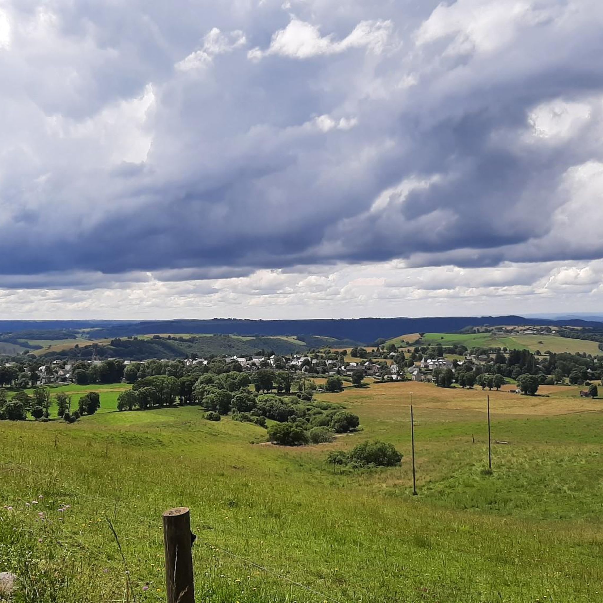
Located next to Saint Alyre Es Montagne, the top of the pass offers us a view of Le Mont Chabrut and Le Luguet. The highest point is 1227 meters above sea level. This climb is 16.6 kilometers long, for an elevation gain of 628 meters. Col de la Volpilière from Ardes has an average gradient of 3.8%.
0
0
Frequently Asked Questions
What kind of landscape can I expect around the mountain passes near Marcenat?
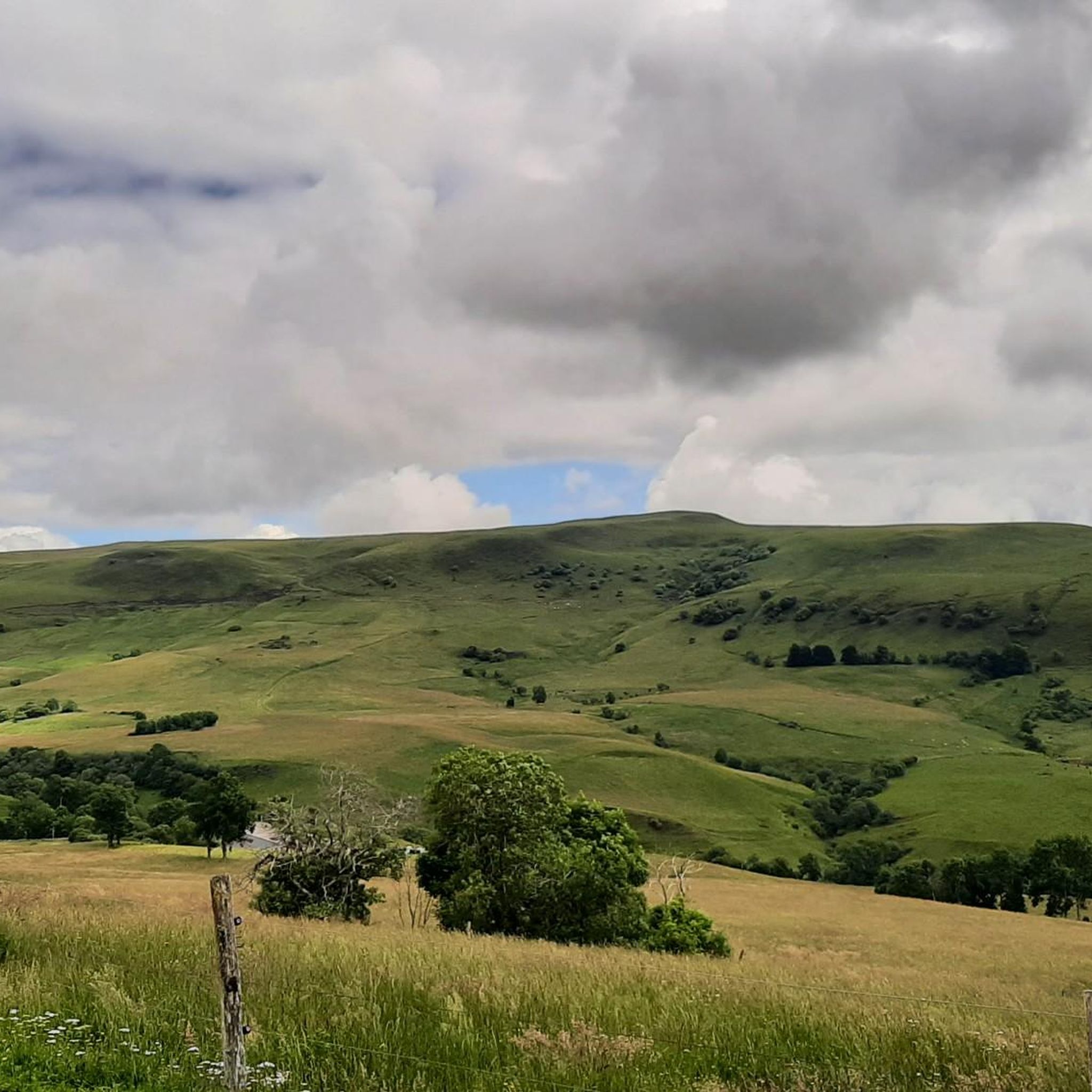
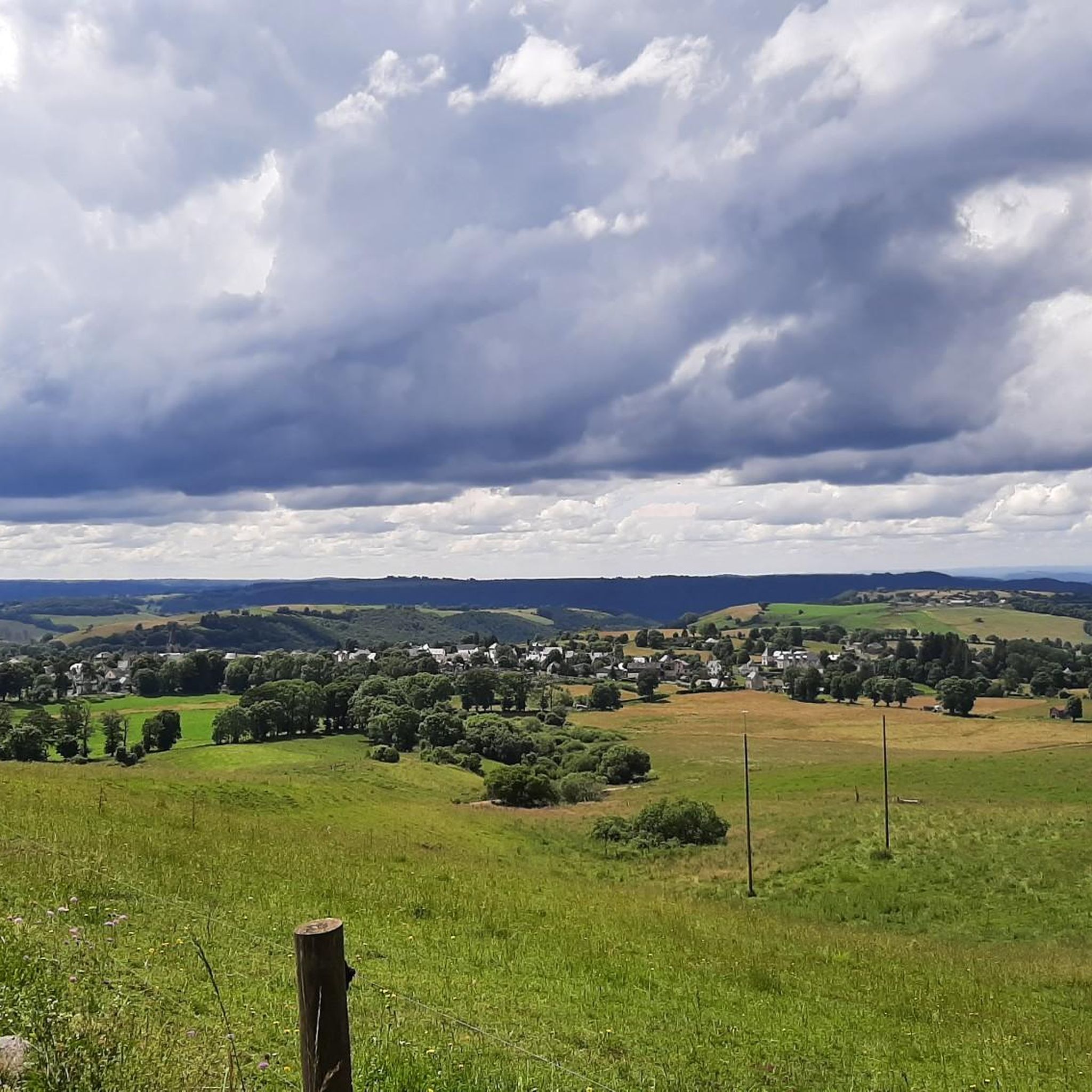
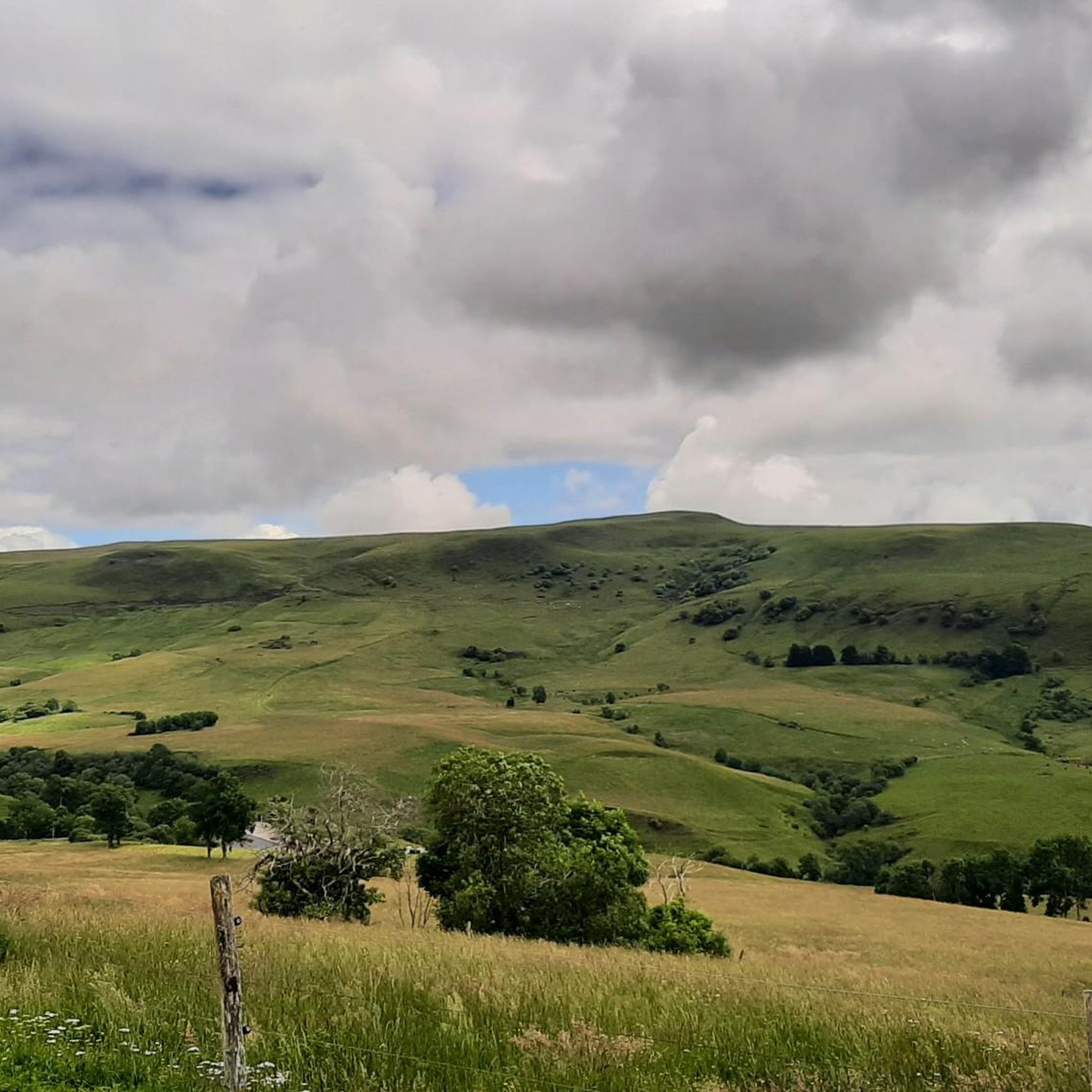
The region around Marcenat, particularly the Cézallier massif, is characterized by expansive volcanic plateaus and vast, treeless pastures. It's often likened to 'French Mongolia' or 'Little Scottish Highlands' due to its rolling, open landscapes and an average altitude between 1,200 and 1,500 meters. You'll find breathtaking panoramic views of the Cézallier, the Puy-de-Dôme, the Sancy massif, and the Monts du Cantal.
What are some of the most scenic mountain passes for views?
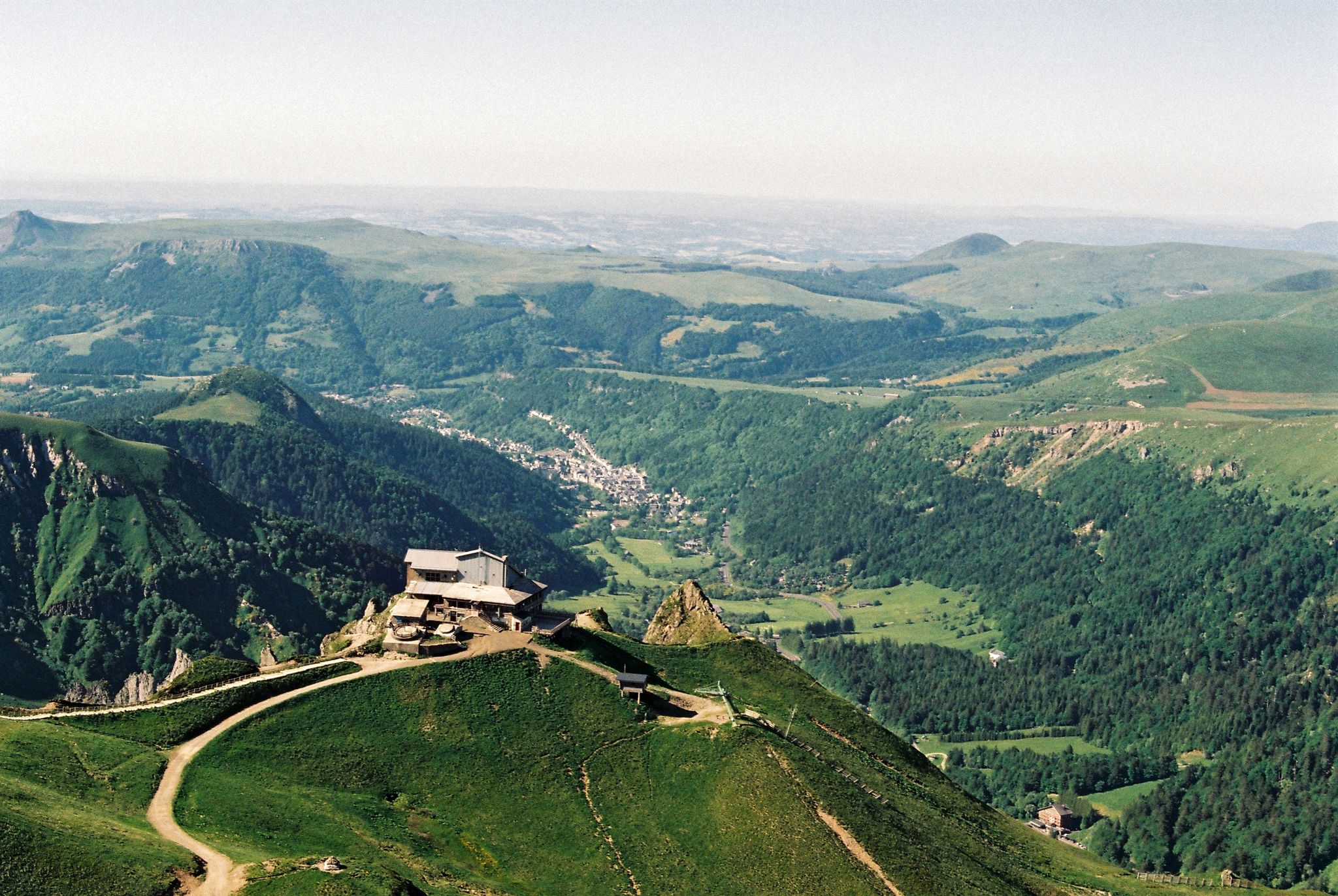
For magnificent panoramic views, the Chamaroux Pass is highly recommended. It offers sweeping vistas of the Cézallier, Puy-de-Dôme, Sancy massif, and Monts du Cantal. Another excellent spot is Volpilière Pass, which provides views of Le Mont Chabrut and Le Luguet from its 1227-meter summit.
Are there opportunities for cycling around the mountain passes?
Yes, the area is very popular for cycling. The climb to Chamaroux Pass from Boutaresse is described as a short, easy, and very scenic ascent on a quiet road through alpine pastures. A section of the GTMC route (Grande Traversée du Massif Central) also passes through the Cézallier, offering exceptional views. For more options, explore the Gravel biking around Marcenat guide.
What kind of hiking trails are available near Marcenat's mountain passes?
The Cézallier plateau offers numerous hiking trails, including routes like the 'Red Cows Route' and 'Tour des Vaches Rouges,' which showcase the region's pastoral charm. You can find a variety of trails, from easy to difficult, suitable for different fitness levels. For detailed hiking routes, check out the Hiking around Marcenat guide.
What natural features, beyond the passes, can I discover in the Cézallier massif?
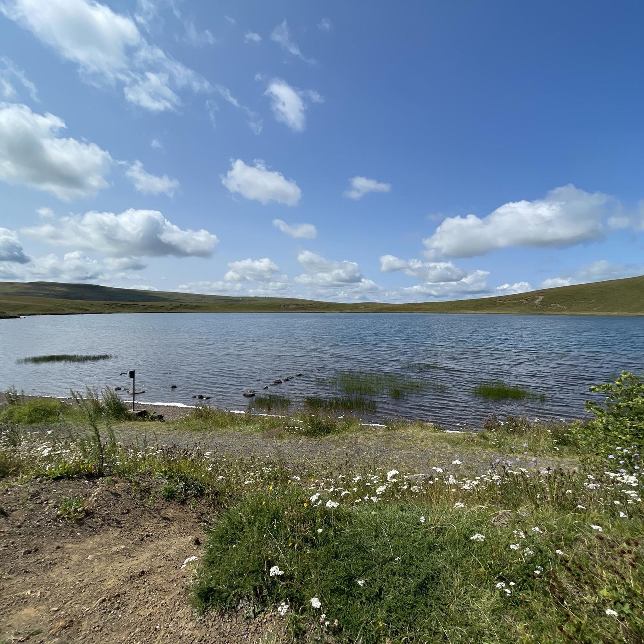
The Cézallier massif, a Hawaiian-type volcanic formation, features unique natural elements. You can find numerous crater lakes and peat bogs, which contribute to its rich biodiversity. Notable natural reserves include the Sagnes de la Godivelle and the peat bogs of Jolan and Gazelle. The exposed lava scoria near Mont Chamaroux also offers interesting geological insights.
What is the best time of year to visit the mountain passes around Marcenat?
The Cézallier massif is particularly appealing during warmer months when the vast pastures are green and accessible for hiking and cycling. The region's open landscapes can be exposed to weather, so spring through autumn generally offers the most pleasant conditions for outdoor activities and enjoying the panoramic views.
Are there any challenging mountain passes for experienced cyclists or hikers?
Yes, for those seeking a challenge, Col de Montgreleix (1238 m) involves a climb of 3.9 kilometers with an elevation gain of 245 meters, averaging a 6.3% gradient. While some routes are generally passable for gravel and touring bikes, certain sections can be rocky, offering a more demanding experience.
What makes the Cézallier massif unique compared to other mountain regions?
The Cézallier massif stands out for its vast, treeless, and rolling volcanic plateaus, which create a unique, almost steppe-like landscape. Unlike more rugged, forested mountain ranges, it offers wide-open spaces, a sense of tranquility, and a distinctive pastoral charm with Salers cows grazing freely. This unique environment provides a refreshing escape for nature lovers.
What kind of wildlife might I encounter around the mountain passes?
The Cézallier massif is known for its vast summer pastures where Salers cows graze, adding to the region's distinctive character. The presence of crater lakes and peat bogs also contributes to a unique biodiversity, though specific wildlife sightings can vary. The area is generally peaceful, offering a chance to observe nature in a quiet setting.
Are there family-friendly options for exploring the mountain passes?
Many of the routes and passes in the Cézallier massif offer pleasant and fairly easy sections, making them suitable for families. For instance, the climb to Chamaroux Pass from Boutaresse is considered easy. The wide-open spaces are ideal for walks and enjoying nature with children. Look for 'easy' rated trails in the Hiking around Marcenat guide.
What is the highest road pass in the Cézallier?
The highest road pass in the Cézallier is Col de Vestizoux (1317 m). Located in Puy-de-Dôme, it offers a very pretty pass typical of the Cézallier landscape and is not overly difficult for cyclists.
What do visitors enjoy most about the mountain passes around Marcenat?
Visitors frequently appreciate the tranquility and the stunning panoramic views offered by the Cézallier massif. The car-free roads around passes like Col de Chamaroux allow for full enjoyment of bike routes, and the overall peaceful atmosphere provides a refreshing escape from urban noise. The unique 'Scottish' or 'Mongolian' landscape is also a major draw.
Most popular routes around Marcenat
Most popular attractions around Marcenat

Get inspired with the komoot mobile app


Explore more
See even more epic mountain passes by checking out these guides around Marcenat:
