The best mountain hikes around Grézian
4.5
(7)
32
hikers
5
hikes
Mountaineering around Grézian offers routes through the high Pyrenean landscape, characterized by significant elevation gains and alpine terrain. The region features prominent peaks and deep valleys, providing a diverse environment for challenging ascents. Mountaineers can expect varied conditions, from forested lower slopes to exposed ridges and rocky summits. This area is well-suited for those seeking demanding mountain experiences.
Best mountaineering routes around Grézian
- The most popular mountaineering route is Arbizon loop from Aulon, a 6.4 miles (10.3 km) trail…
Last updated: June 24, 2026
4.0
(2)
12
hikers
10.3km
07:11
1,360m
1,360m
Hard mountaineering route. Very good fitness required. Sure-footedness, sturdy shoes and alpine experience required.
5
hikers
13.1km
04:28
650m
650m
Moderate mountaineering route. Good fitness required. Easily-accessible paths. Suitable for all skill levels.

Sign up for free
4
hikers
11.3km
03:59
620m
620m
Moderate mountaineering route. Good fitness required. Easily-accessible paths. Suitable for all skill levels.
5.0
(3)
7
hikers
17.5km
06:05
930m
930m
Hard mountaineering route. Very good fitness required. Mostly accessible paths. Sure-footedness required.
4.5
(2)
4
hikers
7.53km
02:42
430m
430m
Moderate mountaineering route. Good fitness required. Mostly accessible paths. Sure-footedness required.
Our route recommendations are based on thousands of hikes, rides, and runs completed by other people on komoot.
Start today with a free account
Your next adventure awaits.
Login or Signup
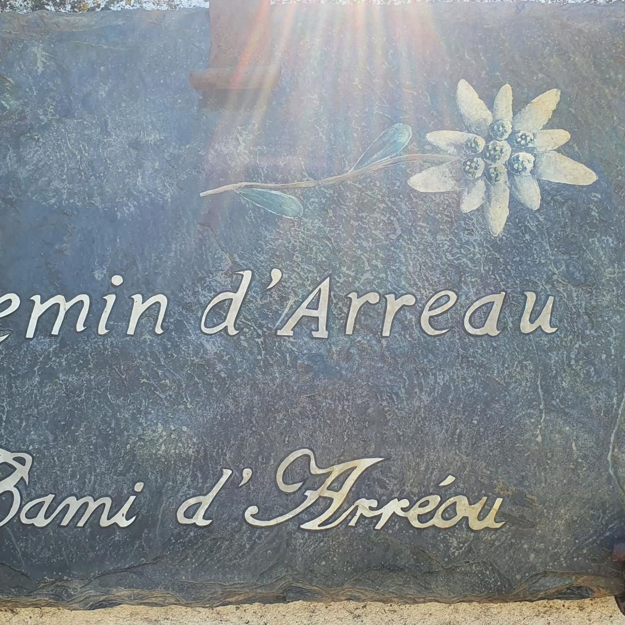
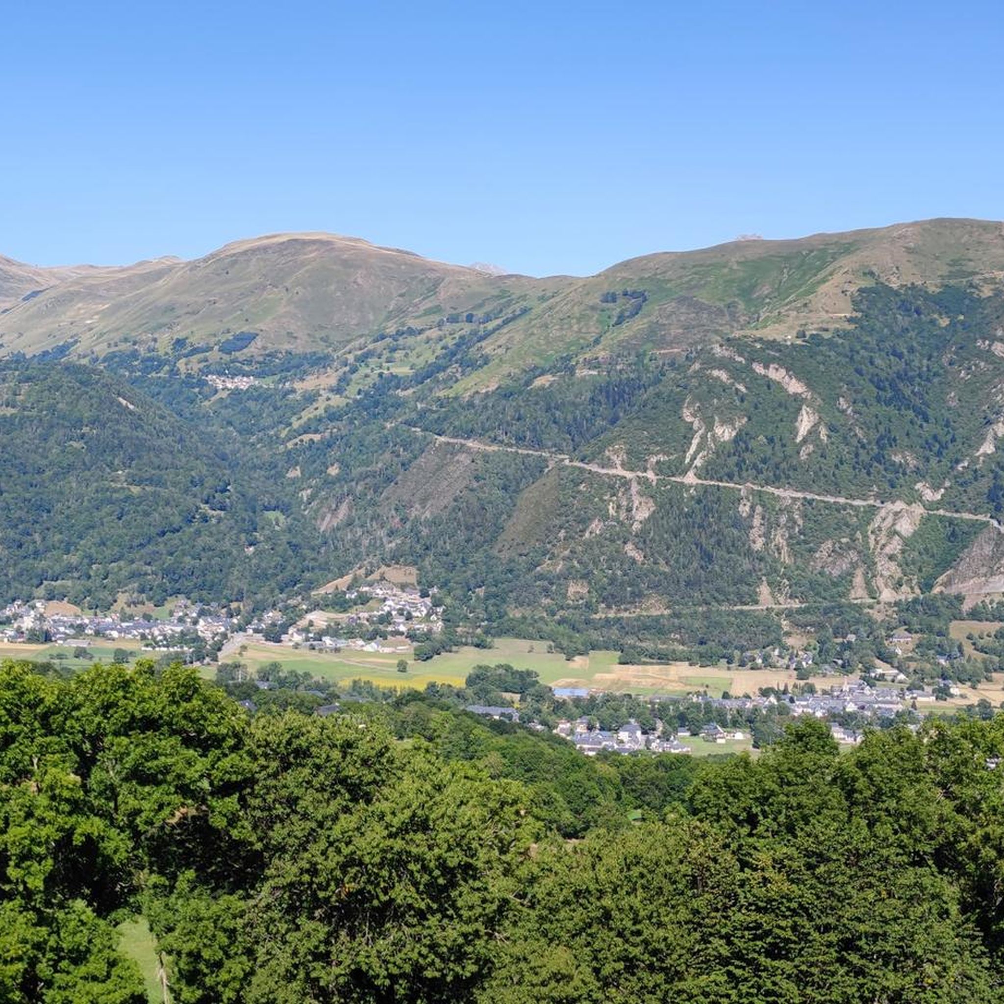

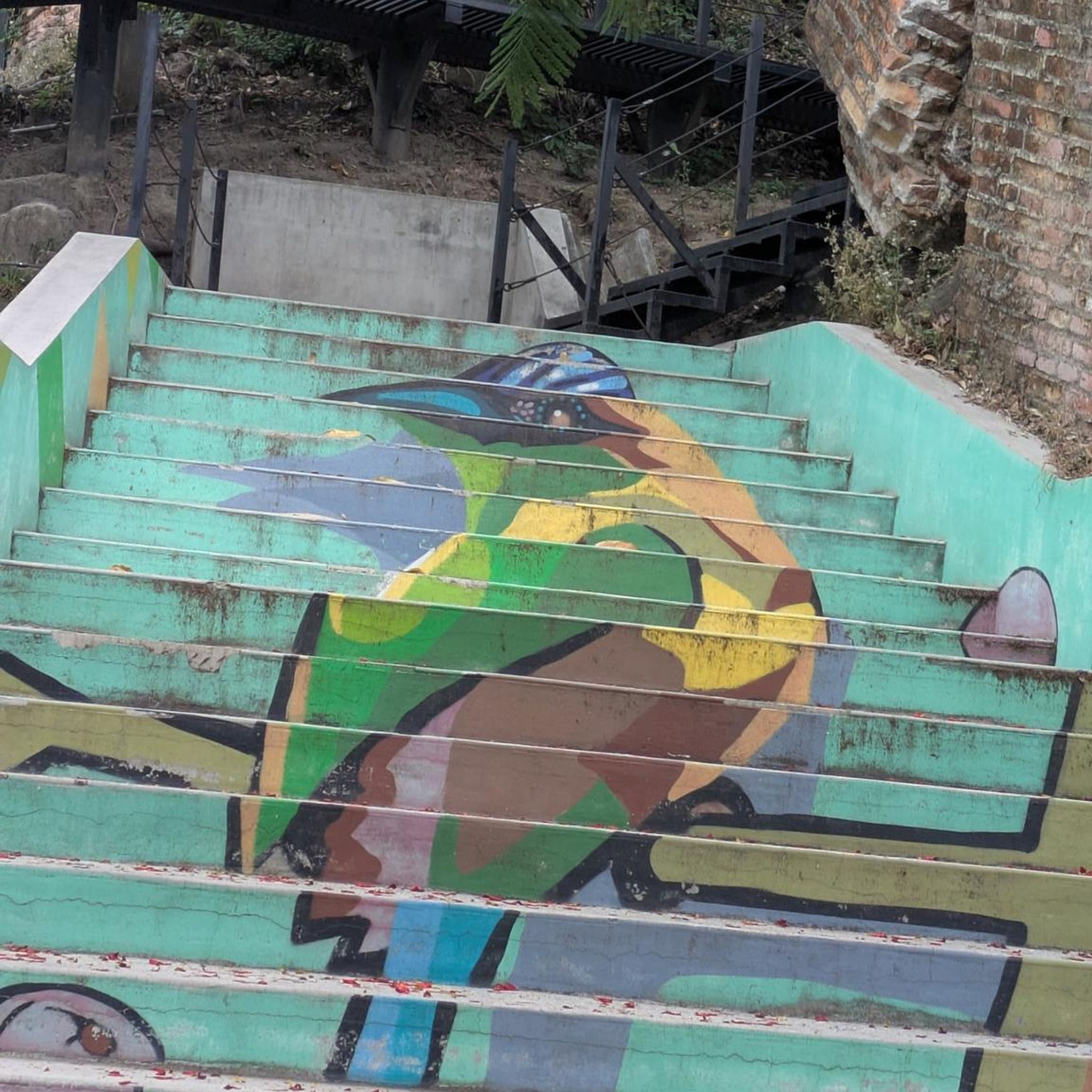

Tips from the Community

Pleasant and legendary climb used by the Tour de France
1
0

A very nice short hike. The beginning is very steep, then passes through the forest, before becoming open with magnificent views. The return begins with a 10-minute walk through a rather unpleasant meadow, then it's easy.
0
0
Great hike to do in winter with snowshoes/crampons. Great view 😍
0
0

Here begins the official start of the climb to the Hourquette d'Ancizan, made in 2024 on the Tour de France. On the program, eight kilometers at an average of 5%.
0
0

A beautiful lake, the tour is easy to do!
0
0

Incredible panoramic view of the surrounding valleys and peaks, including the Pic du Midi, the Col du Tourmalet and the Aure valley.
2
0

The summit of Plo del Naou offers panoramic views of the Pyrenees, making it a great destination. At over 1,700 metres above sea level, you will be surrounded by rugged peaks. On a clear day, you can see the majestic Pic du Midi and the neighbouring peaks stretching into the distance.
2
1
Frequently Asked Questions
What kind of mountaineering routes can I expect around Grézian?
Mountaineering around Grézian offers challenging routes through the high Pyrenean landscape. You'll encounter significant elevation gains, alpine terrain, prominent peaks, and deep valleys. Conditions can vary from forested lower slopes to exposed ridges and rocky summits, providing a demanding mountain experience.
Are there any beginner-friendly mountaineering routes in Grézian?
The mountaineering routes around Grézian are generally geared towards more experienced hikers. There are no routes classified as 'easy' in this guide; all five routes are either moderate or difficult, featuring substantial elevation changes and alpine conditions.
What are some moderate mountaineering options in the Grézian area?
For those seeking moderate challenges, consider the Cap de Pède – Granges de Grascouéou loop from Vignec. This route covers 7.4 km with 432 meters of ascent, typically taking around 2 hours 40 minutes to complete. It offers a good balance of effort and scenic reward.
Are there any circular mountaineering trails around Grézian?
Yes, many of the routes in the Grézian area are circular. For example, the Sommet de Pouy Louby – Pic du Lion loop from Cazaux-Fréchet-Anéran-Camors is a difficult 17.5 km loop that takes you through varied terrain, offering a full mountain experience without retracing your steps.
What are the best seasons for mountaineering in Grézian?
Given the high Pyrenean landscape and alpine terrain, the best seasons for mountaineering in Grézian are typically late spring, summer, and early autumn. During these months, trails are generally free of snow, and weather conditions are more stable, though mountain weather can change rapidly at any time of year.
What kind of gear should I bring for mountaineering in Grézian?
For mountaineering in Grézian, you should be prepared for varied conditions. Essential gear includes sturdy hiking boots, layered clothing suitable for rapid weather changes, rain and wind protection, sufficient water and food, a map and compass or GPS device, and sun protection. Depending on the season and specific route, trekking poles can also be very helpful.
Are there any notable viewpoints or landmarks along the mountaineering routes?
Many routes offer expansive views of the Pyrenees. While specific viewpoints are route-dependent, the region is known for its mountain passes. You might encounter areas with views towards Col d'Aspin or Hourquette d'Ancizan, which are significant features of the landscape.
Are there any lakes accessible or visible from the mountaineering trails?
Yes, some routes will bring you close to or offer views of the region's beautiful lakes. The Lac de Payolle – Plo del naou loop from Lac de Payolle, for instance, navigates through varied terrain, including sections near Lac de Payolle itself.
What do other mountaineers say about the routes in Grézian?
The mountaineering routes around Grézian are highly regarded by the komoot community, holding an average score of 4.5 stars from over 7 reviews. Users often highlight the challenging nature of the ascents and the rewarding alpine scenery.
Are there any longer, more difficult mountaineering routes available?
Absolutely. For a more demanding experience, consider the Sommet de Pouy Louby – Pic du Lion loop from Cazaux-Fréchet-Anéran-Camors. This difficult route spans 17.5 km with over 900 meters of elevation gain, offering a substantial challenge for experienced mountaineers.
Can I find places to eat or drink near the mountaineering trailheads?
While specific cafes or pubs directly at every trailhead might be limited in this high mountain region, the nearby town of Arreau, a short drive from many starting points, offers amenities where you can find refreshments and meals after your mountaineering adventure.
How many mountaineering routes are covered in this guide for Grézian?
This guide features 5 distinct mountaineering routes around Grézian, ranging from moderate to difficult in intensity, all designed to showcase the challenging and beautiful Pyrenean landscape.
Most popular routes around Grézian
Most popular attractions around Grézian

Get inspired with the komoot mobile app


Explore more
Browse the best Mountain Hikes & Routes in other regions.
