The best mountain hikes around Barrancoueu
4.6
(10)
56
hikers
4
hikes
Mountaineering routes around Barrancoueu traverse a landscape characterized by high mountain passes, glacial lakes, and challenging ascents within the Pyrenees. The region features a mix of open alpine terrain and forested valleys, offering varied conditions for mountaineers. Elevations can be significant, leading to panoramic views of the surrounding peaks and valleys.
Best mountaineering routes around Barrancoueu
- The most popular mountaineering route is Lac de Payolle – Plo del naou loop from Lac de Payolle, a 8.1 miles (13.0 km)…
Last updated: July 8, 2026
5.0
(5)
15
hikers
13.1km
05:59
810m
810m
Hard mountaineering route. Very good fitness required. Mostly accessible paths. Sure-footedness required.
4.0
(2)
12
hikers
10.3km
07:11
1,360m
1,360m
Hard mountaineering route. Very good fitness required. Sure-footedness, sturdy shoes and alpine experience required.

Sign up for free
5.0
(1)
8
hikers
22.0km
09:39
1,610m
1,610m
Hard mountaineering route. Very good fitness required. Mostly accessible paths. Sure-footedness required.
8
hikers
16.3km
06:47
1,050m
1,050m
Hard mountaineering route. Very good fitness required. Mostly accessible paths. Sure-footedness required.
5
hikers
13.1km
04:28
650m
650m
Moderate mountaineering route. Good fitness required. Easily-accessible paths. Suitable for all skill levels.
Our route recommendations are based on thousands of hikes, rides, and runs completed by other people on komoot.
Start today with a free account
Your next adventure awaits.
Login or Signup
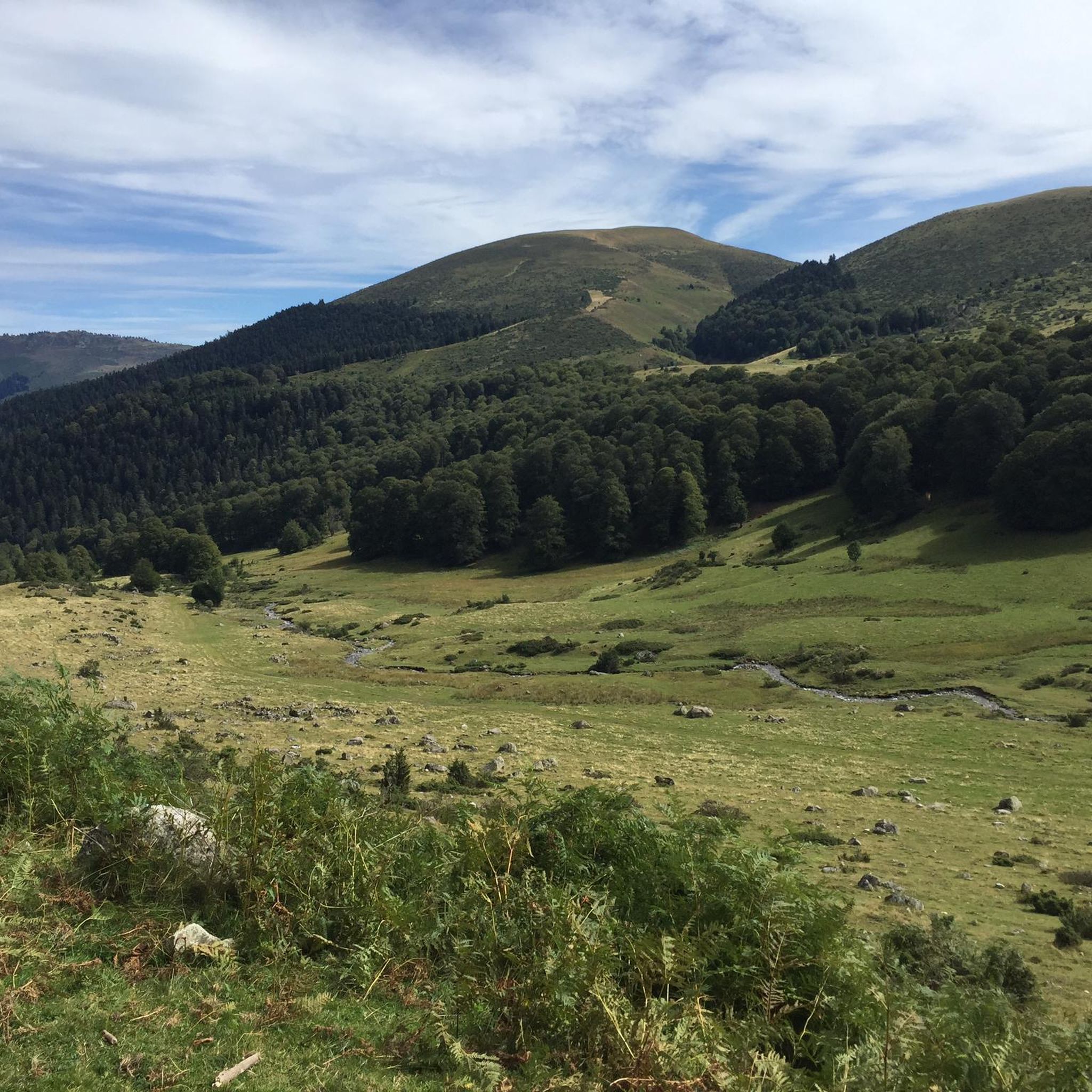
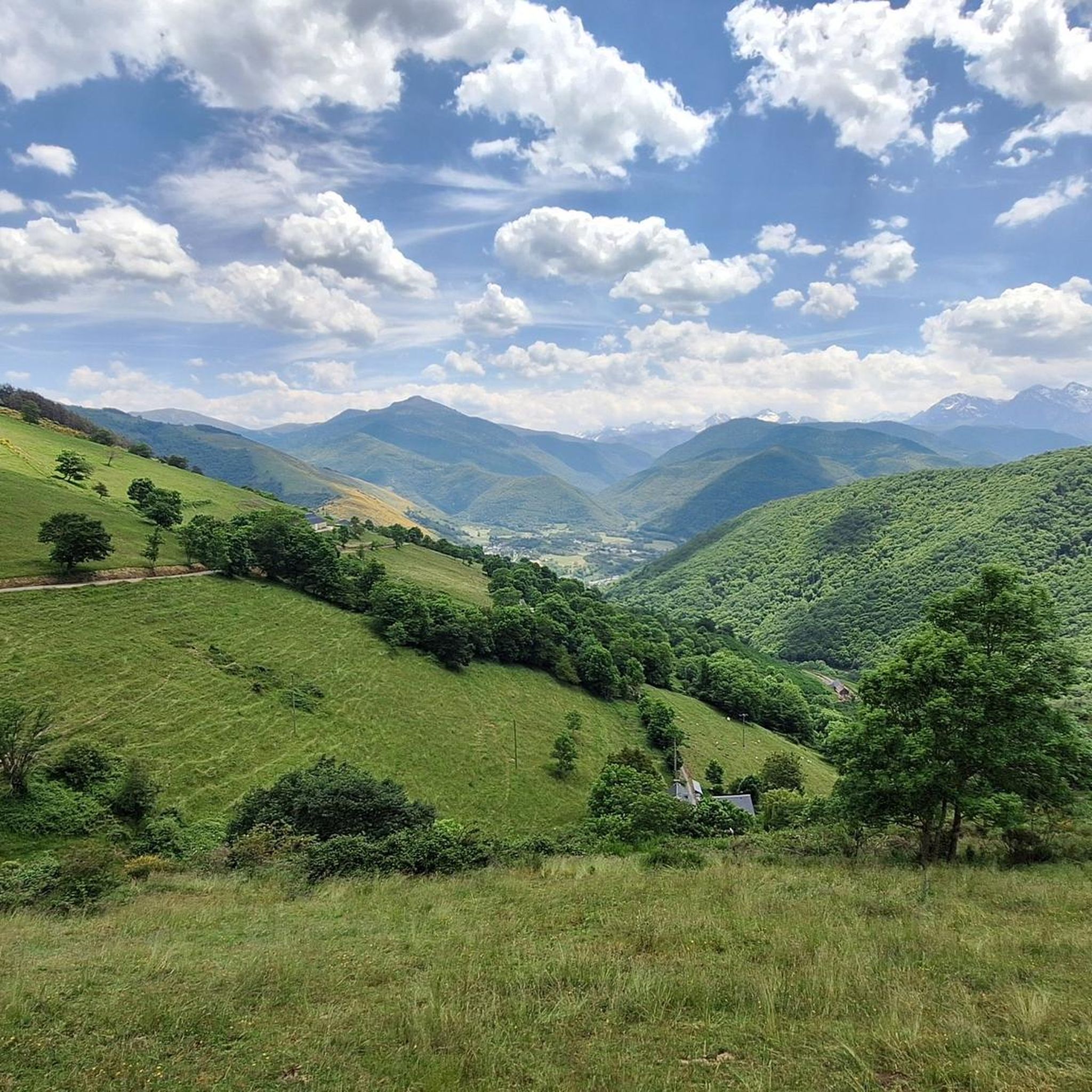
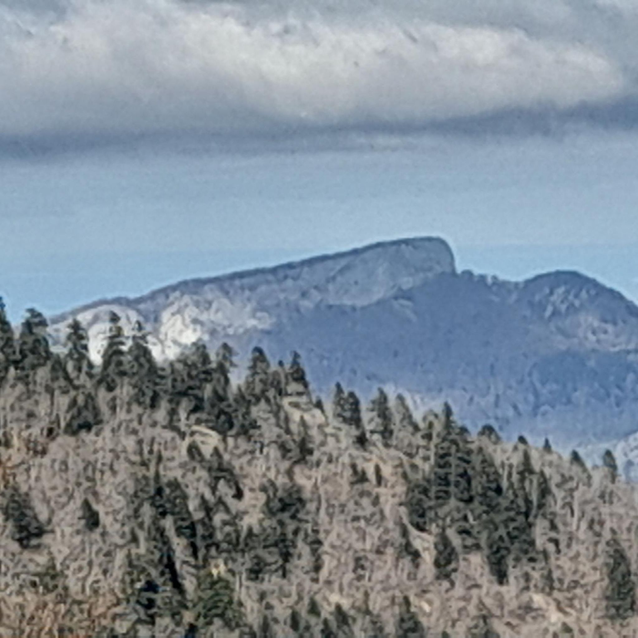
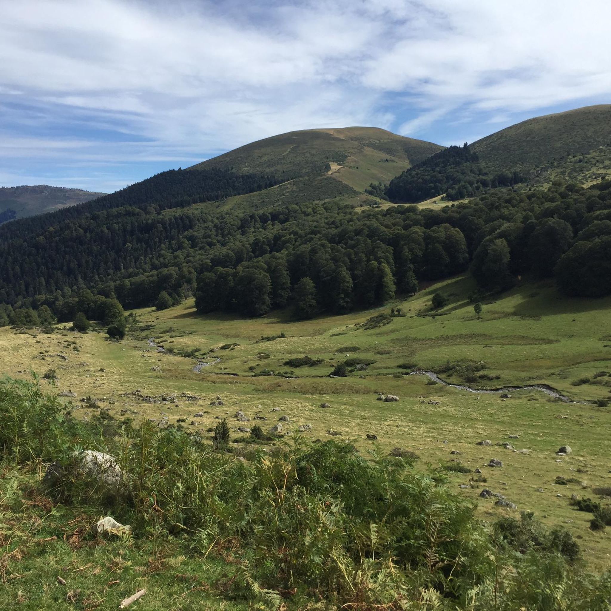


Tips from the Community

There you'll find expert advice on what to do next on your hikes. If you stay the evening, the dining room is welcoming and the meals are delicious and plentiful. The nearby bivouac area can accommodate around ten tents.
0
0

An amazing view, with the added bonus of some spectacular fine dining (book in advance for dining!)
0
0

Ascent to the summit on foot; no cable car access until 2027. No access to the restaurant or restrooms, but drinking water is available.
0
1

Pleasant and legendary climb used by the Tour de France
1
0

Do it in the evening for the sunset, it's magnificent or conversely to admire the sunrise. The night of stars is magnificent! 🤩
0
1

A very nice short hike. The beginning is very steep, then passes through the forest, before becoming open with magnificent views. The return begins with a 10-minute walk through a rather unpleasant meadow, then it's easy.
0
0

Here begins the official start of the climb to the Hourquette d'Ancizan, made in 2024 on the Tour de France. On the program, eight kilometers at an average of 5%.
0
0
Frequently Asked Questions
What is the overall difficulty level of mountaineering routes in Barrancoueu?
Barrancoueu offers a range of mountaineering challenges, with routes primarily categorized as moderate to difficult. The landscape features high mountain passes and significant ascents, making many trails suitable for experienced mountaineers. For example, the Lac de Payolle – Plo del naou loop from Lac de Payolle is a moderate option, while routes like the Réservoir des Laquets – Laquette de Gréziolles loop from Caderolles are considered difficult.
Are there any circular mountaineering routes in the Barrancoueu area?
Yes, several mountaineering routes around Barrancoueu are designed as loops, allowing you to start and end at the same point. Examples include the challenging Arbizon loop from Aulon, which covers 10.3 km, and the Col de Sencours loop from Artigues, a longer 22 km route.
What kind of scenic views can I expect on these mountaineering routes?
Mountaineering in Barrancoueu offers breathtaking panoramic views of the Pyrenees. You'll encounter high mountain passes, pristine glacial lakes, and expansive alpine terrain. Routes often provide vistas of surrounding peaks and valleys, such as those found along the Lac de Payolle – Plo del naou loop, which circles the scenic Lac de Payolle.
What is the best time of year for mountaineering in Barrancoueu?
The most favorable time for mountaineering in Barrancoueu is typically from late spring to early autumn (June to September). During these months, snowmelt has usually receded from higher elevations, and weather conditions are generally more stable, offering clearer paths and safer ascents. Always check local weather forecasts before heading out.
Are there any family-friendly mountaineering options or sections suitable for children?
While many routes in Barrancoueu are challenging, some sections or shorter, less strenuous paths might be suitable for families with older, experienced children. The Lac de Payolle – Plo del naou loop from Lac de Payolle, for instance, is rated as moderate and offers beautiful lake views, which could be a good option for families looking for a less demanding experience.
What are the typical distances and elevation gains for mountaineering routes in Barrancoueu?
Mountaineering routes in Barrancoueu vary significantly in distance and elevation. You can expect routes ranging from approximately 10 km to over 20 km. Elevation gains typically start around 650 meters and can exceed 1600 meters for more challenging trails. For example, the Col de Sencours loop from Artigues is about 22 km long with over 1600 meters of ascent.
What kind of wildlife might I encounter while mountaineering in Barrancoueu?
The Pyrenees region around Barrancoueu is home to diverse wildlife. Keep an eye out for Pyrenean chamois, marmots, and various bird species, including birds of prey like eagles and vultures. Early mornings or late afternoons often provide the best opportunities for wildlife spotting.
Are there any notable lakes or mountain passes to see along the routes?
Absolutely. The region is rich with stunning natural features. You can explore beautiful lakes such as Lac de Payolle and Lake Gréziolles. Additionally, prominent mountain passes like Col d'Aspin and Hourquette d'Ancizan are often part of or accessible from mountaineering trails, offering spectacular views.
What do other mountaineers say about the routes in Barrancoueu?
The mountaineering routes in Barrancoueu are highly regarded by the komoot community, holding an average rating of 4.6 out of 5 stars from over 10 reviews. Users frequently praise the challenging ascents, the stunning alpine scenery, and the sense of accomplishment gained from traversing the high mountain passes.
Are there any specific permits required for mountaineering in Barrancoueu?
For general day mountaineering on established routes in Barrancoueu, specific permits are typically not required. However, if you plan to undertake activities like bivouacking, camping in protected areas, or accessing certain restricted zones, it's always advisable to check with local authorities or the Pyrenees National Park for any specific regulations or permit requirements.
Where can I find parking for the mountaineering trailheads?
Parking is generally available at or near the main trailheads for popular mountaineering routes in Barrancoueu. For instance, routes like the Lac de Payolle – Plo del naou loop often have designated parking areas at Lac de Payolle. It's recommended to arrive early, especially during peak season, as spaces can fill up quickly. Some parking areas may require a small fee.
Are there any cafes or facilities near the trailheads?
While the high mountain routes themselves are remote, you can often find cafes, restaurants, or small shops in the nearby villages or at popular starting points like Lac de Payolle. These facilities provide opportunities for refreshments or to stock up on supplies before or after your mountaineering adventure.
What are some of the more challenging or advanced mountaineering routes in the area?
For experienced mountaineers seeking a significant challenge, routes like the Lac d'Arizes – La Montagnette loop from Artigues offer substantial elevation gain and rugged terrain. Another demanding option is the Arbizon loop from Aulon, known for its steep ascents and remote mountain environment.
Most popular routes around Barrancoueu
Most popular attractions around Barrancoueu

Get inspired with the komoot mobile app


Explore more
Browse the best Mountain Hikes & Routes in other regions.
