The best mountain hikes around Bestiac
3.8
(4)
19
hikers
4
hikes
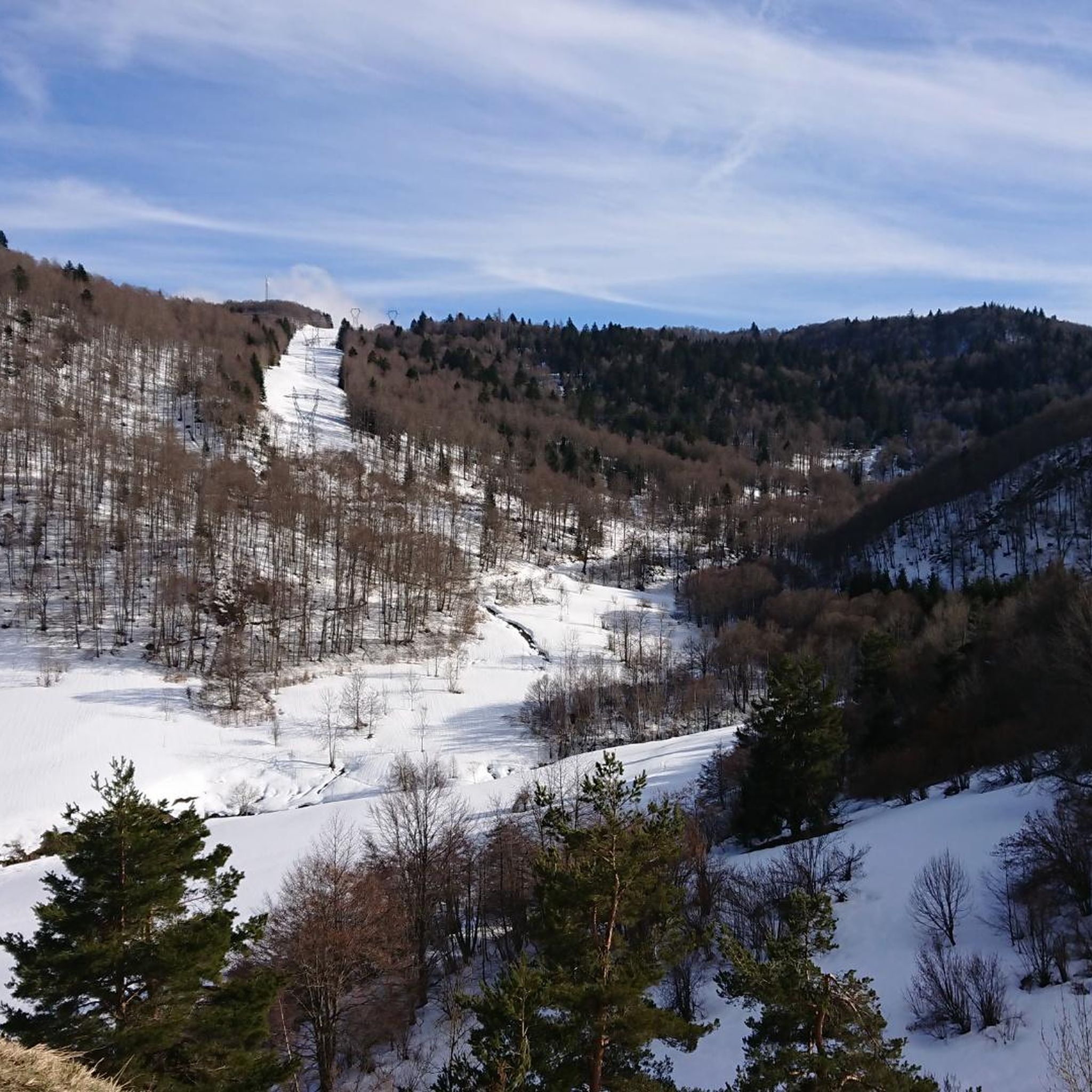
Mountaineering routes around Bestiac offer a range of challenging ascents and scenic trails within the Ariège region. The terrain is characterized by significant elevation changes, leading through mountainous landscapes. These routes often feature high-altitude lakes and panoramic viewpoints, providing a diverse experience for mountaineers. The area provides opportunities for exploring varied mountain environments.
Best mountaineering routes around Bestiac
- The most popular mountaineering route is Étang de Moulzoune – Étang du Diable loop from SN 1678, a 9.4 miles (15.2…
Last updated: July 8, 2026
7
hikers
11.0km
05:32
900m
910m
Hard mountaineering route. Very good fitness required. Sure-footedness, sturdy shoes and alpine experience required.
2
hikers
8.55km
02:50
350m
360m
Moderate mountaineering route. Good fitness required. Mostly accessible paths. Sure-footedness required.

Sign up for free
5.0
(1)
4
hikers
12.5km
05:42
940m
940m
Hard mountaineering route. Very good fitness required. Sure-footedness, sturdy shoes and alpine experience required.
4.0
(1)
2
hikers
14.8km
04:48
620m
630m
Moderate mountaineering route. Good fitness required. Mostly accessible paths. Sure-footedness required.
2.5
(2)
4
hikers
16.3km
05:55
780m
780m
Hard mountaineering route. Very good fitness required. Sure-footedness, sturdy shoes and alpine experience required.
Our route recommendations are based on thousands of hikes, rides, and runs completed by other people on komoot.
Start today with a free account
Your next adventure awaits.
Login or Signup
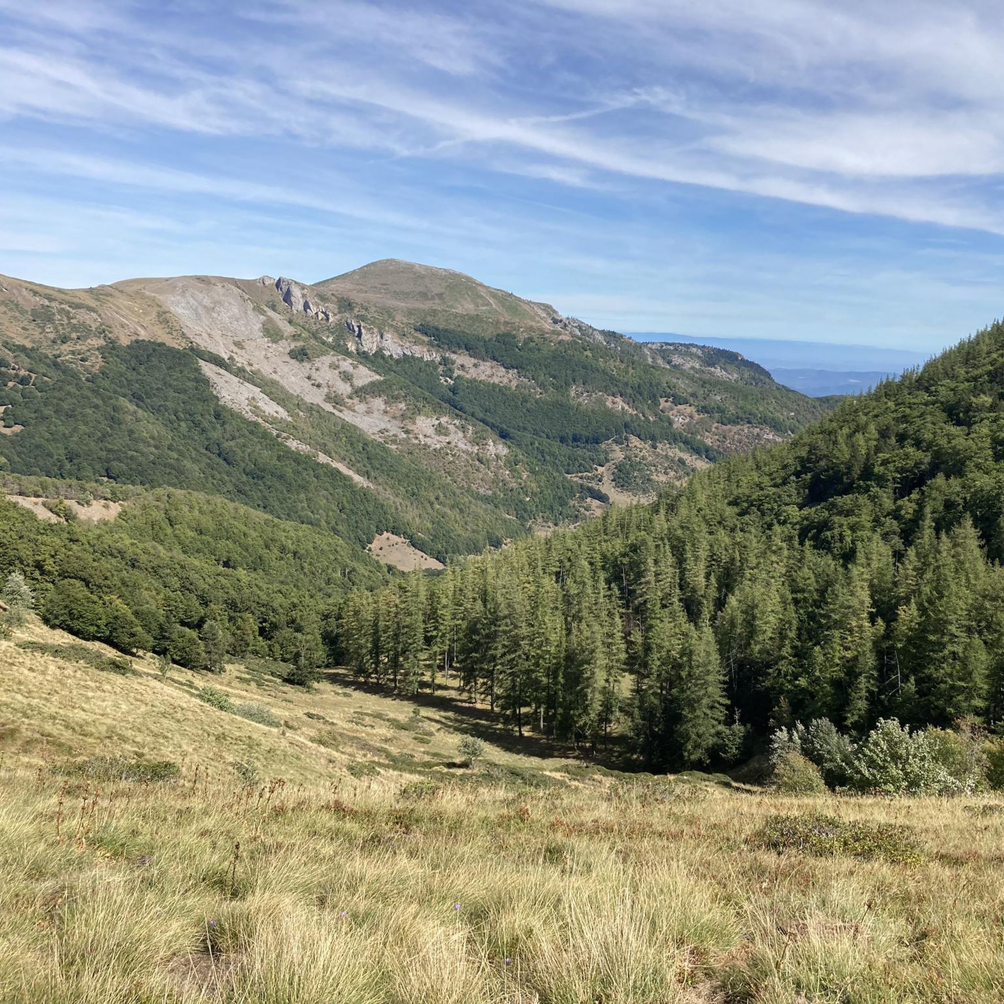
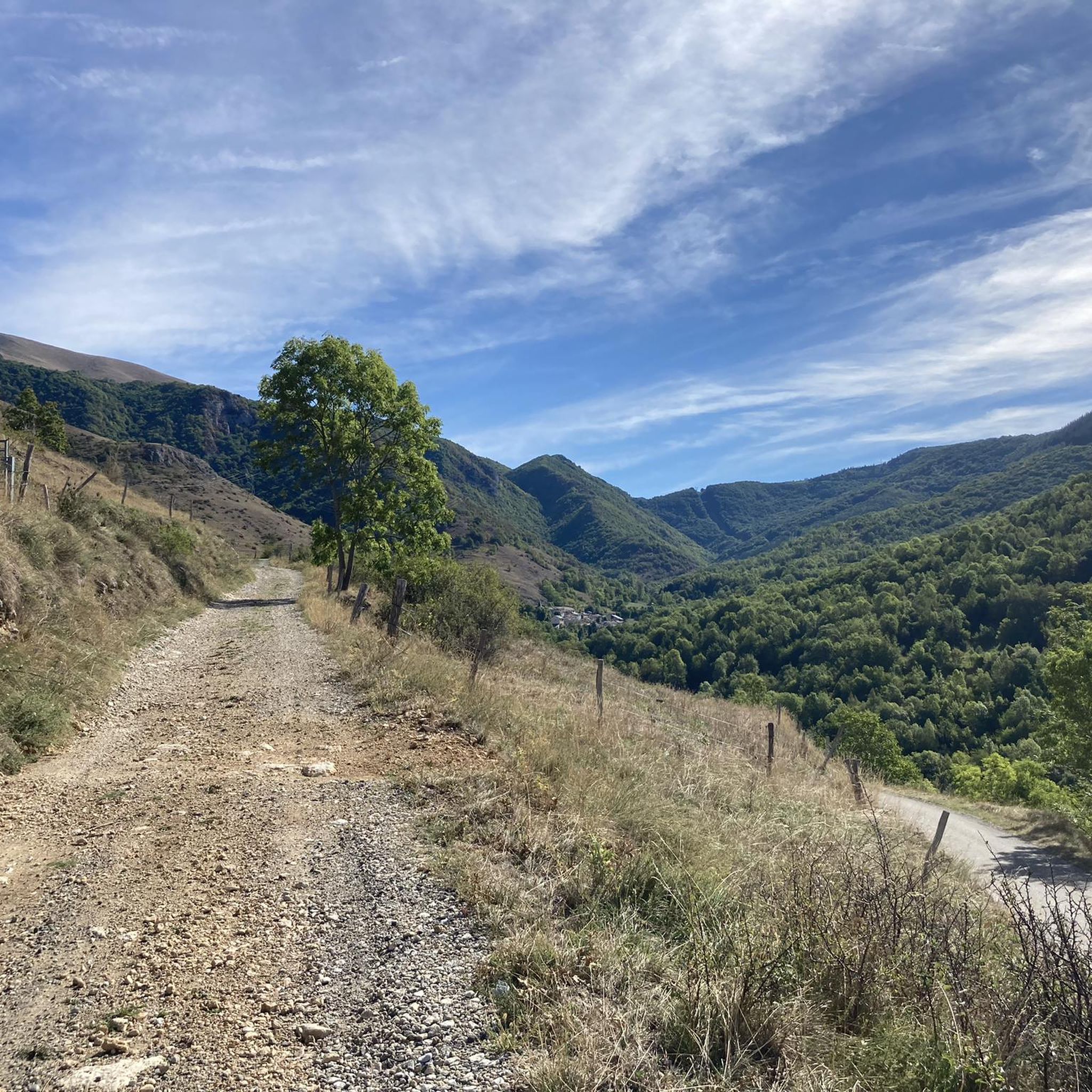
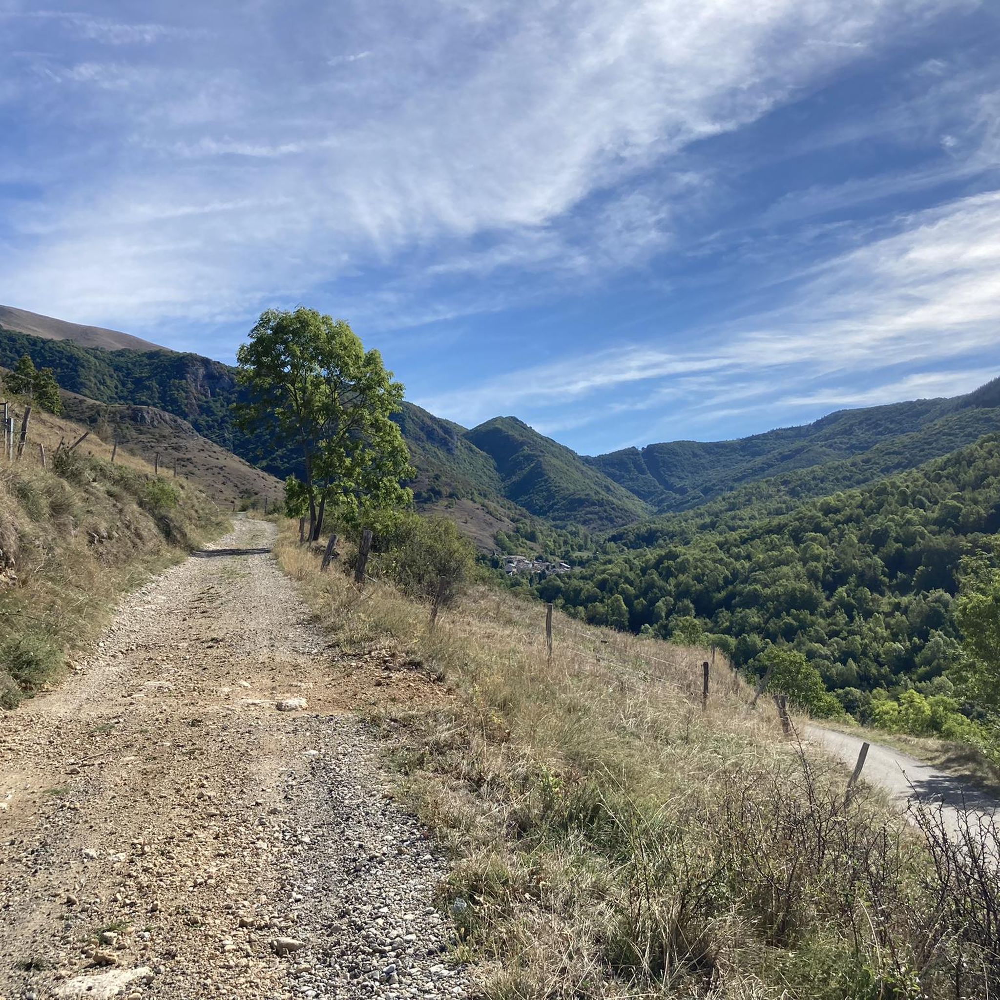
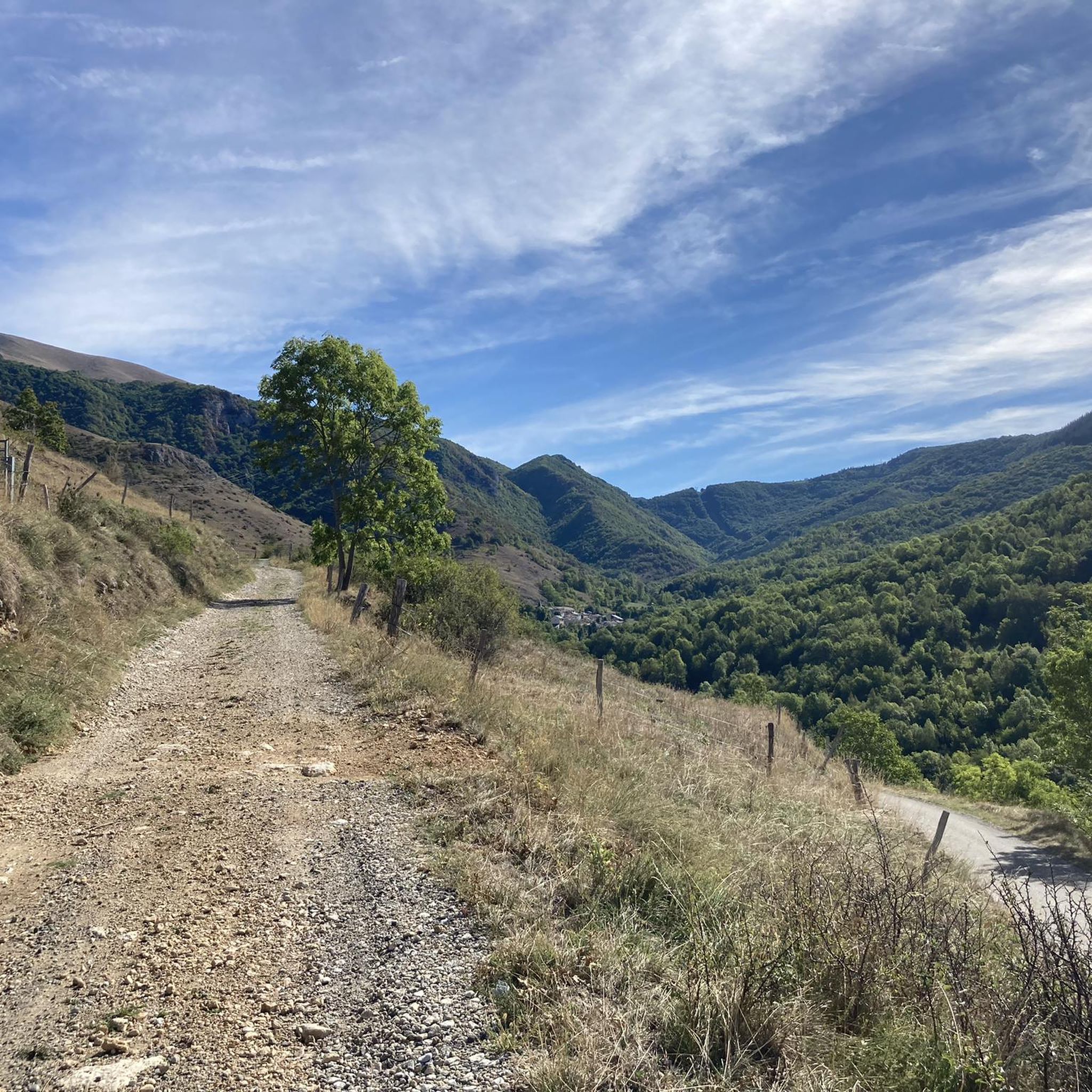

Tips from the Community

There are several fountains and public pools with pure thermal water to warm your feet after the descent.
0
0

A must-see in Ariège that you should do at least once in your life. The view of the various mountain ranges is splendid.
0
0

Be careful, expert route but what a view
0
0

Château de Montaillou is a former fortified castle from the 13th century and overlooks the village and its surroundings
9
0
At approximately 1680 meters, it's the starting point for hikes, ski tours, and cycling. The highest point of this charming ski area is 1850 meters.
12
0
Château de Montaillou is a world-famous former fortified castle from the 13th century, the ruins of which were declared a monument by decree on December 21, 1984. The remains of the keep and the fortress are located on a hill overlooking
19
0

Nice relax and shower stop in the swimming pool by Parc de'Espagne. Also a hose to clean the bikes in park near the gondola lift entry.
0
0

Frequently Asked Questions
How many mountaineering routes are available around Bestiac?
There are 6 mountaineering routes documented around Bestiac, offering a mix of moderate and difficult challenges for exploration in the Ariège region.
What is the overall difficulty level of mountaineering routes in Bestiac?
The routes around Bestiac are primarily challenging, with 4 out of 6 routes rated as difficult and 2 as moderate. There are no easy routes listed, so a good level of fitness and experience is recommended.
Are there any routes suitable for beginners in Bestiac?
While there are no routes specifically rated as 'easy,' two moderate routes could be considered for beginners with some experience: Vallée d'Orgeix – Turbine centrale du Teich loop from Ax-les-Thermes and Ax-les-Thermes loop from Ax-les-Thermes. These still involve significant elevation changes.
What do other mountaineers say about the routes in Bestiac?
The routes in Bestiac are highly rated by the komoot community, with an average score of 4.25 stars from 4 reviews. Mountaineers often appreciate the significant elevation changes, high-altitude lakes, and panoramic viewpoints that characterize the area.
Are there any circular mountaineering routes in Bestiac?
Yes, several routes around Bestiac are circular. For example, the challenging Étang de Moulzoune – Étang du Diable loop from SN 1678 and the difficult Mont d'Olmes loop from Les Monts d'Olmes are both circular, allowing you to finish where you started.
What natural attractions or landmarks can I see along the mountaineering routes?
The routes often feature high-altitude lakes and panoramic viewpoints. You can also find nearby attractions such as the Gorges de la Frau, the Col des Sept Frères, and various mountain peaks like Mount Fourcat and Saint-Barthélemy Peak.
Are there any viewpoints offering great panoramas in the Bestiac area?
Yes, the mountaineering routes around Bestiac are known for their panoramic viewpoints. Specific highlights include the Pierre Blanche Pass and the View of the summit of Crouzille, which offer expansive mountain vistas.
Are there any historical sites or settlements near the mountaineering trails?
Yes, the region around Bestiac is rich in history. You can explore the iconic Montségur Castle, a significant Cathar site, or visit the thermal town of Ax-les-Thermes, which serves as a starting point for some routes.
What is the longest mountaineering route available in Bestiac?
The longest mountaineering route listed is the Étang de Moulzoune – Étang du Diable loop from SN 1678, which spans 9.4 miles (15.2 km) and involves over 1000 meters of elevation gain, typically taking around 6 hours 50 minutes to complete.
Which route offers the most significant elevation gain?
The Étang de Moulzoune – Étang du Diable loop from SN 1678 features the most substantial ascent, with over 1000 meters of elevation gain, making it one of the most challenging options in the area.
Are there any routes that pass through mountain valleys?
Yes, the Vallée d'Orgeix – Turbine centrale du Teich loop from Ax-les-Thermes is a moderate 6.0 miles (9.7 km) trail that leads through scenic mountain valleys, offering a different perspective of the landscape.
Most popular routes around Bestiac
Most popular attractions around Bestiac

Get inspired with the komoot mobile app


Explore more
Browse the best Mountain Hikes & Routes in other regions.
