The best mountain hikes around Luzenac
4.2
(5)
29
hikers
4
hikes
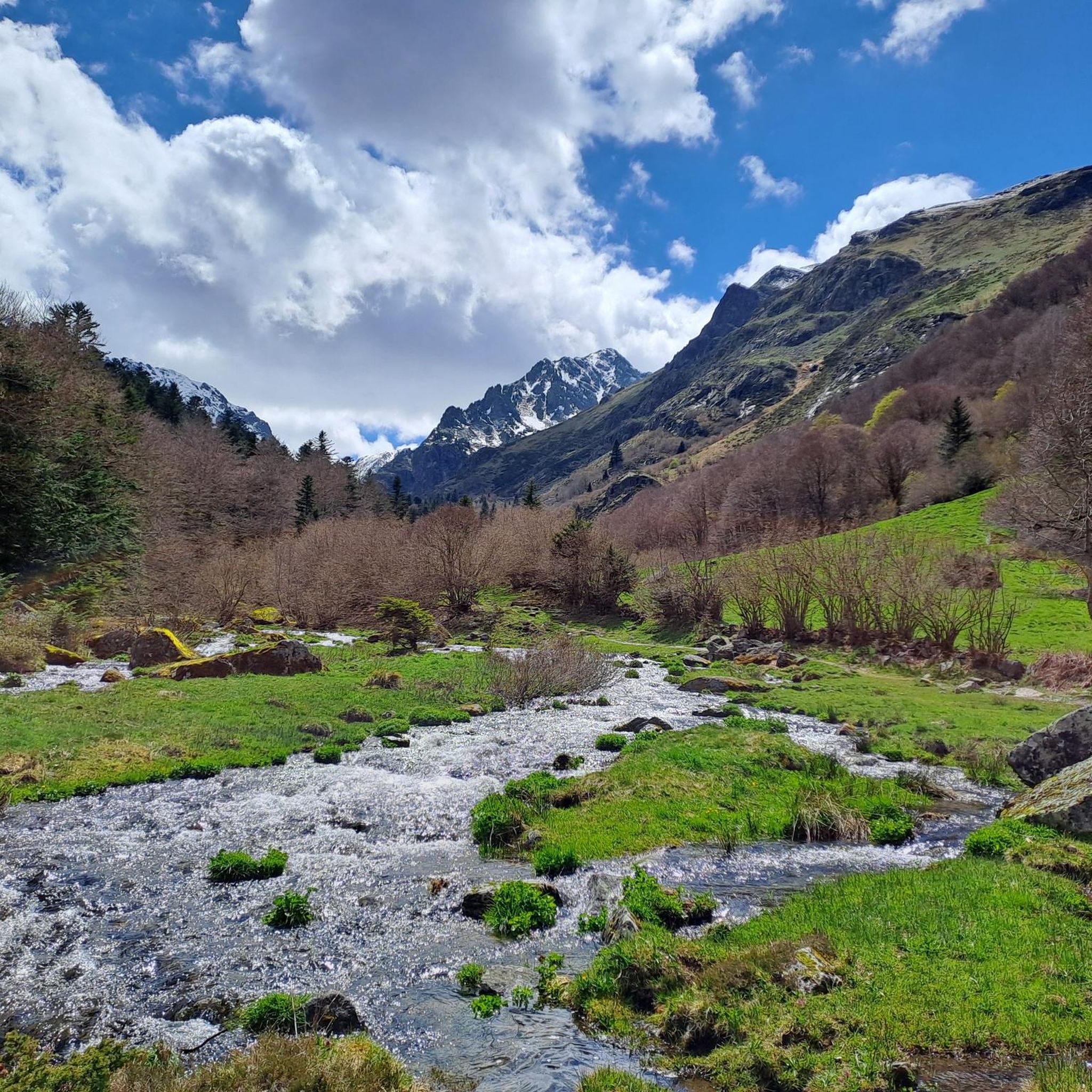
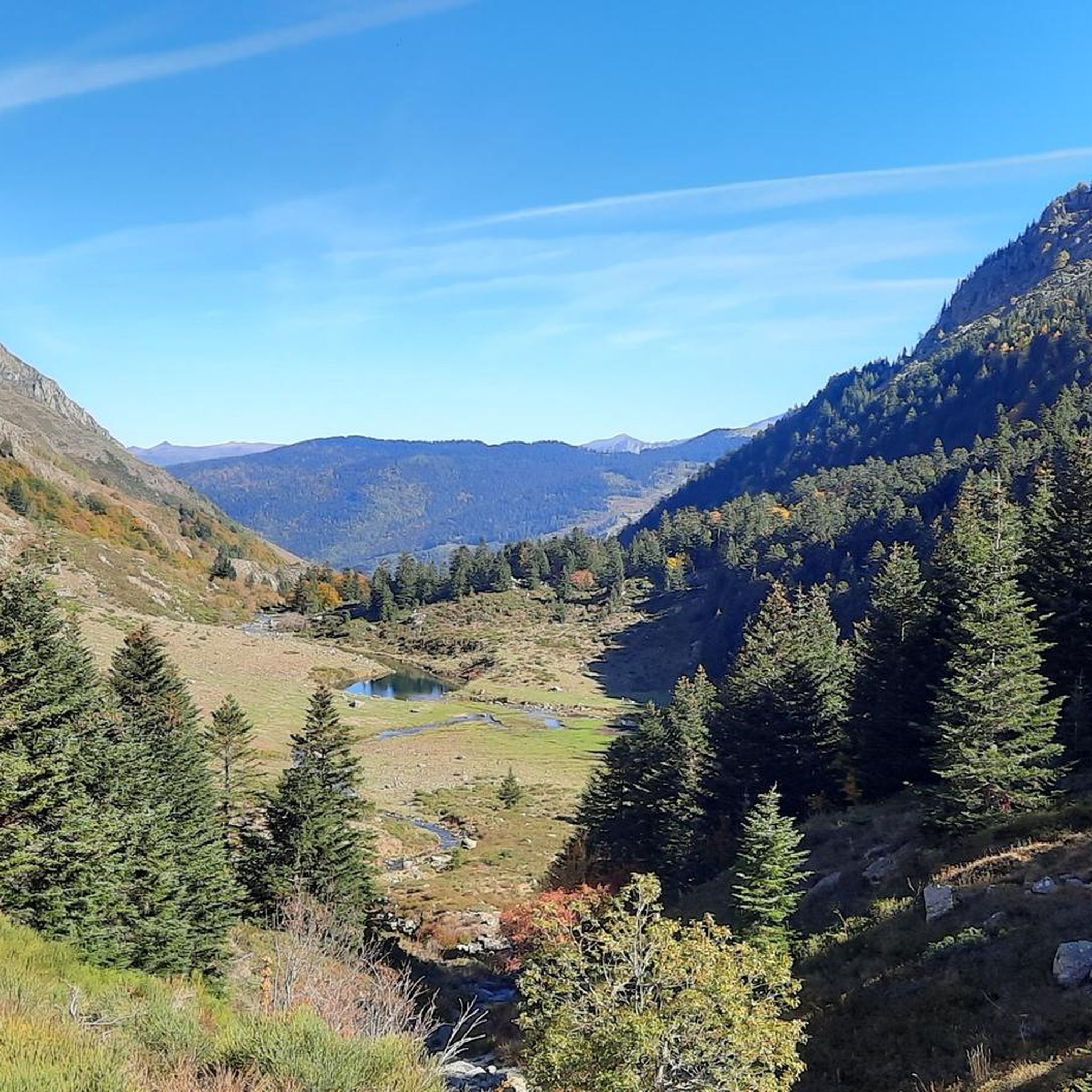
Mountaineering routes around Luzenac traverse a landscape characterized by high-altitude terrain, alpine lakes, and forested valleys within the Pyrenees. The region offers varied elevations, from challenging ascents to more moderate paths through natural reserves. This area provides opportunities for exploring mountain passes, glacial cirques, and panoramic viewpoints.
Best mountaineering routes around Luzenac
- The most popular mountaineering route is Fontargente Ponds – Estanys de Juclà loop from Refugi de Cabana Sorda, a 8.8 miles (14.1 km) trail that takes 6…
Last updated: June 24, 2026
6
hikers
Hard mountaineering route. Very good fitness required. Mostly accessible paths. Sure-footedness required.
7
hikers
11.0km
05:32
900m
910m
Hard mountaineering route. Very good fitness required. Sure-footedness, sturdy shoes and alpine experience required.

Sign up for free
5.0
(2)
5
hikers
6.35km
02:35
290m
290m
Hard mountaineering route. Good fitness required. Sure-footedness, sturdy shoes and alpine experience required.
2
hikers
8.55km
02:50
350m
360m
Moderate mountaineering route. Good fitness required. Mostly accessible paths. Sure-footedness required.
5.0
(1)
4
hikers
12.5km
05:42
940m
940m
Hard mountaineering route. Very good fitness required. Sure-footedness, sturdy shoes and alpine experience required.
Our route recommendations are based on thousands of hikes, rides, and runs completed by other people on komoot.
Start today with a free account
Your next adventure awaits.
Login or Signup
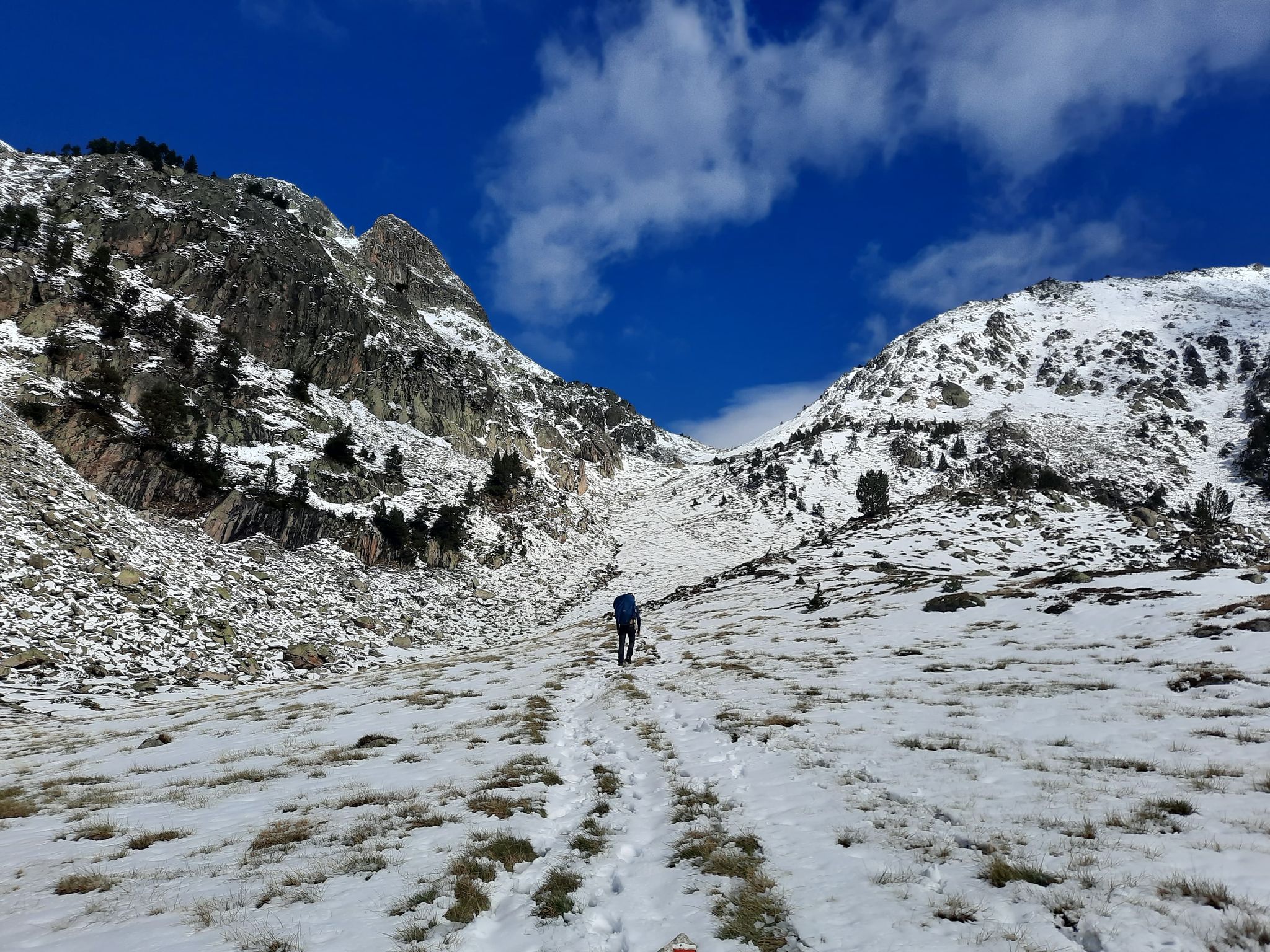
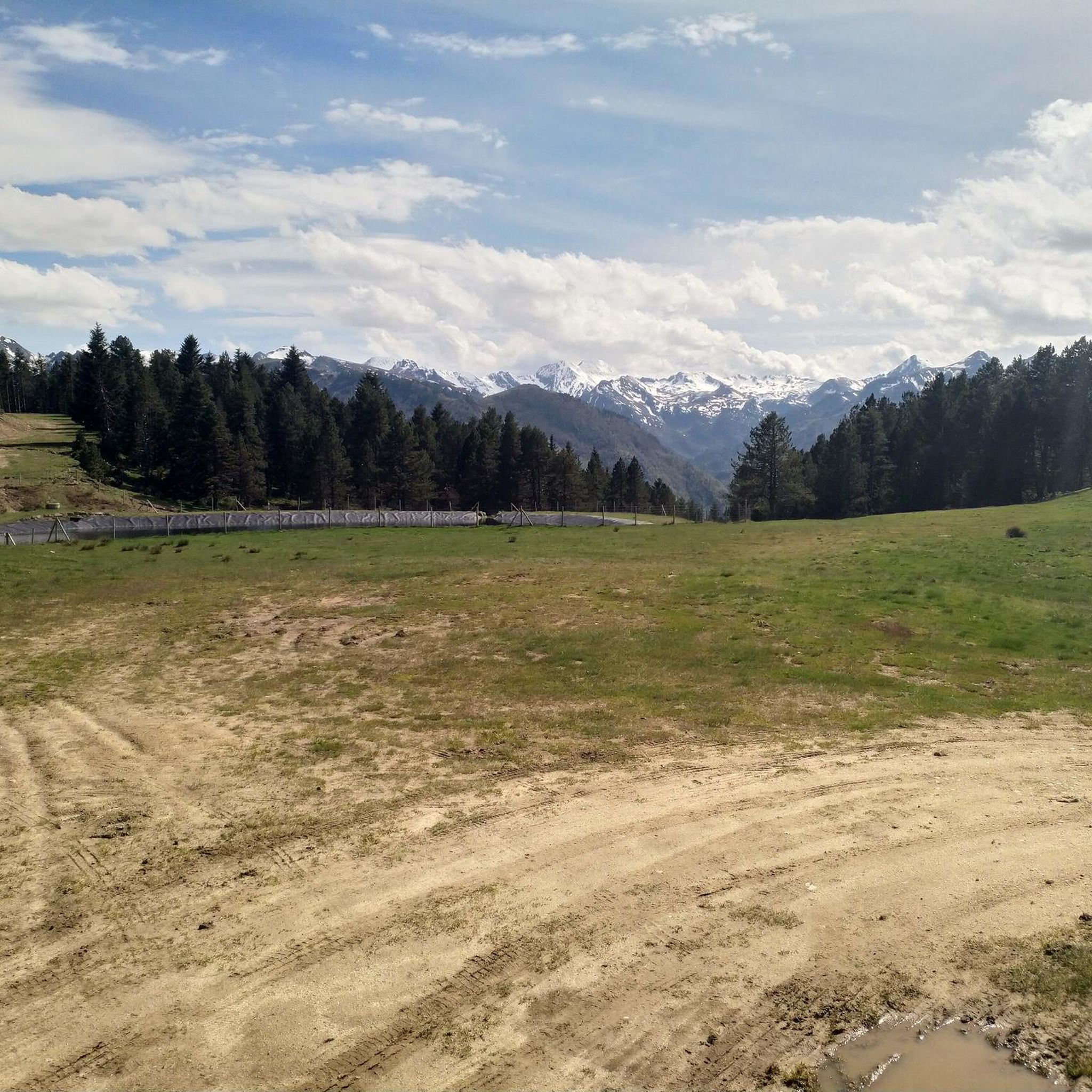
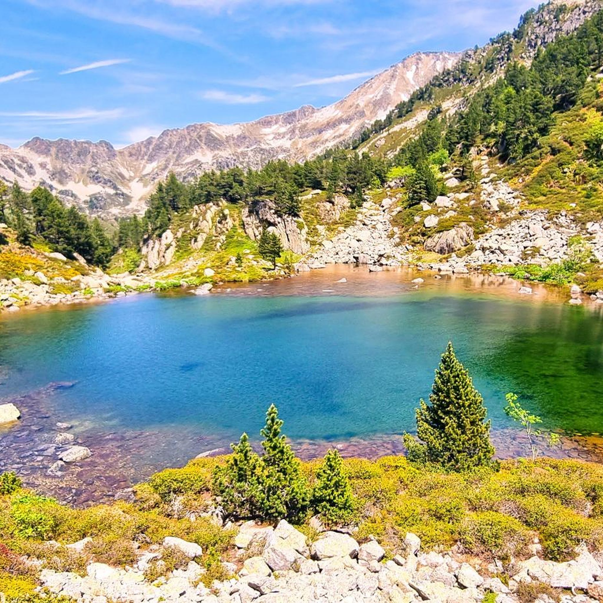

Other adventures around Luzenac

Tips from the Community

A very clean toilet building. There is also a defibrillator hanging here. Directly on the bridge over the river
1
0

There are several fountains and public pools with pure thermal water to warm your feet after the descent.
0
0

A must-see in Ariège that you should do at least once in your life. The view of the various mountain ranges is splendid.
0
0

There are toilets. Camping is prohibited.
0
0

Be careful, expert route but what a view
0
0

Magnificent routes to explore in the region
0
0

Nice relax and shower stop in the swimming pool by Parc de'Espagne. Also a hose to clean the bikes in park near the gondola lift entry.
0
0

Frequently Asked Questions
How many mountaineering routes are available around Luzenac?
There are 6 mountaineering routes documented around Luzenac, offering a variety of experiences for different skill levels.
What kind of terrain can I expect on mountaineering routes near Luzenac?
Mountaineering routes around Luzenac traverse a diverse landscape featuring high-altitude terrain, serene alpine lakes, and lush forested valleys within the Pyrenees. You'll encounter varied elevations, from challenging ascents to more moderate paths through natural reserves, often leading to mountain passes, glacial cirques, and panoramic viewpoints.
Are there suitable mountaineering routes for beginners in Luzenac?
While there are no routes specifically graded as 'easy' for mountaineering in Luzenac, there are several moderate options that could be suitable for beginners with some prior hiking experience and good fitness. For instance, the Vallée d'Orgeix – Turbine centrale du Teich loop from Ax-les-Thermes is a moderate 6.0-mile route that takes about 3 hours.
Which routes offer a challenging mountaineering experience near Luzenac?
For those seeking a challenge, the Luzenac area has several difficult mountaineering routes. Beyond the popular options, consider the Étang de Comte – L'Estagnol loop from Cascade des Escaliers. This 6.1-mile route features significant elevation changes and typically takes around 2 hours 30 minutes to complete.
What is the typical duration and distance for mountaineering routes in the Luzenac area?
Mountaineering routes around Luzenac vary in length and duration. You can expect routes ranging from approximately 3.8 miles (6.1 km) to 8.8 miles (14.1 km), with completion times typically between 2 hours 30 minutes and 6 hours 15 minutes, depending on the route's difficulty and your pace.
Are there any circular mountaineering routes around Luzenac?
Yes, many mountaineering routes in the Luzenac area are designed as loops, allowing you to start and end at the same point. Examples include the Vallée d'Orgeix – Turbine centrale du Teich loop from Ax-les-Thermes and the Ax-les-Thermes loop from Ax-les-Thermes, both offering convenient circular paths.
What can I see along the mountaineering routes or nearby attractions?
The region around Luzenac is rich in natural beauty and points of interest. Along your routes, you might encounter stunning mountain passes like Col de Marmare (1361 m) or Col du Chioula. There are also impressive peaks such as Saint-Barthélemy Peak and scenic viewpoints like Pierre Blanche Pass. You can also find refuges like Cabana Sorda Refuge.
What do other mountaineers say about the routes in Luzenac?
The mountaineering routes in Luzenac are highly regarded by the komoot community, boasting an average rating of 5.0 stars from 4 reviews. Over 20 mountaineers have explored this varied terrain, often praising the challenging ascents, high mountain lakes, and forested valleys that define the region.
Is public transport available to access mountaineering trailheads near Luzenac?
Access to trailheads in the Pyrenees can sometimes be challenging without a car. While specific public transport links directly to every trailhead are limited, towns like Ax-les-Thermes, which serve as starting points for some routes (e.g., Vallée d'Orgeix – Turbine centrale du Teich loop from Ax-les-Thermes), are generally better connected by regional bus or train services. It's advisable to check local transport schedules for specific routes.
Are there any hidden gem mountaineering trails in the Luzenac area?
While the guide highlights popular routes, the Pyrenees around Luzenac are vast. Many local mountaineers enjoy exploring less-trafficked paths that lead to secluded spots. For a less common experience, consider exploring the areas around the various mountain passes like Pas de Souloumbrie, which can offer unique perspectives away from the main trails.
What is the best time of year for mountaineering in Luzenac?
The best time for mountaineering in Luzenac is typically from late spring to early autumn (June to September). During these months, the weather is generally more stable, snow has melted from higher elevations, and mountain huts are usually open. Always check local weather forecasts and conditions before heading out, especially for higher altitude routes.
Are the mountaineering routes around Luzenac dog-friendly?
Many trails in the Pyrenees are generally dog-friendly, but it's crucial to be aware of local regulations, especially within natural reserves or protected areas where dogs might need to be on a leash or are restricted. Always ensure your dog is well-behaved, physically capable of the route, and that you carry enough water for both of you. Check specific route details on komoot for any user-reported dog restrictions or recommendations.
Most popular routes around Luzenac
Most popular attractions around Luzenac

Get inspired with the komoot mobile app


Explore more
Browse the best Mountain Hikes & Routes in other regions.
