The best mountain hikes around Sorgeat
3.8
(5)
13
hikers
3
hikes
Mountaineering routes Sorgeat are located in the Ariège Pyrenees at an altitude of 1,000 meters, providing access to diverse and challenging mountain terrain. The region is characterized by its proximity to the Massif du Montcalm, which includes peaks over 3,000 meters, dramatic vertical cliffs, and verdant valleys. This area also features pristine mountain lakes and high-altitude pastures within or near the Pyrenees Ariégeoises Regional Natural Park. The landscape offers a range of ascents, from high-mountain loops to trails exploring deep…
Last updated: June 24, 2026
5.0
(2)
5
hikers
6.35km
02:35
290m
290m
Hard mountaineering route. Good fitness required. Sure-footedness, sturdy shoes and alpine experience required.
2
hikers
8.55km
02:50
350m
360m
Moderate mountaineering route. Good fitness required. Mostly accessible paths. Sure-footedness required.

Sign up for free
4.0
(1)
2
hikers
14.8km
04:48
620m
630m
Moderate mountaineering route. Good fitness required. Mostly accessible paths. Sure-footedness required.
2.5
(2)
4
hikers
16.3km
05:55
780m
780m
Hard mountaineering route. Very good fitness required. Sure-footedness, sturdy shoes and alpine experience required.
Our route recommendations are based on thousands of hikes, rides, and runs completed by other people on komoot.
Start today with a free account
Your next adventure awaits.
Login or Signup
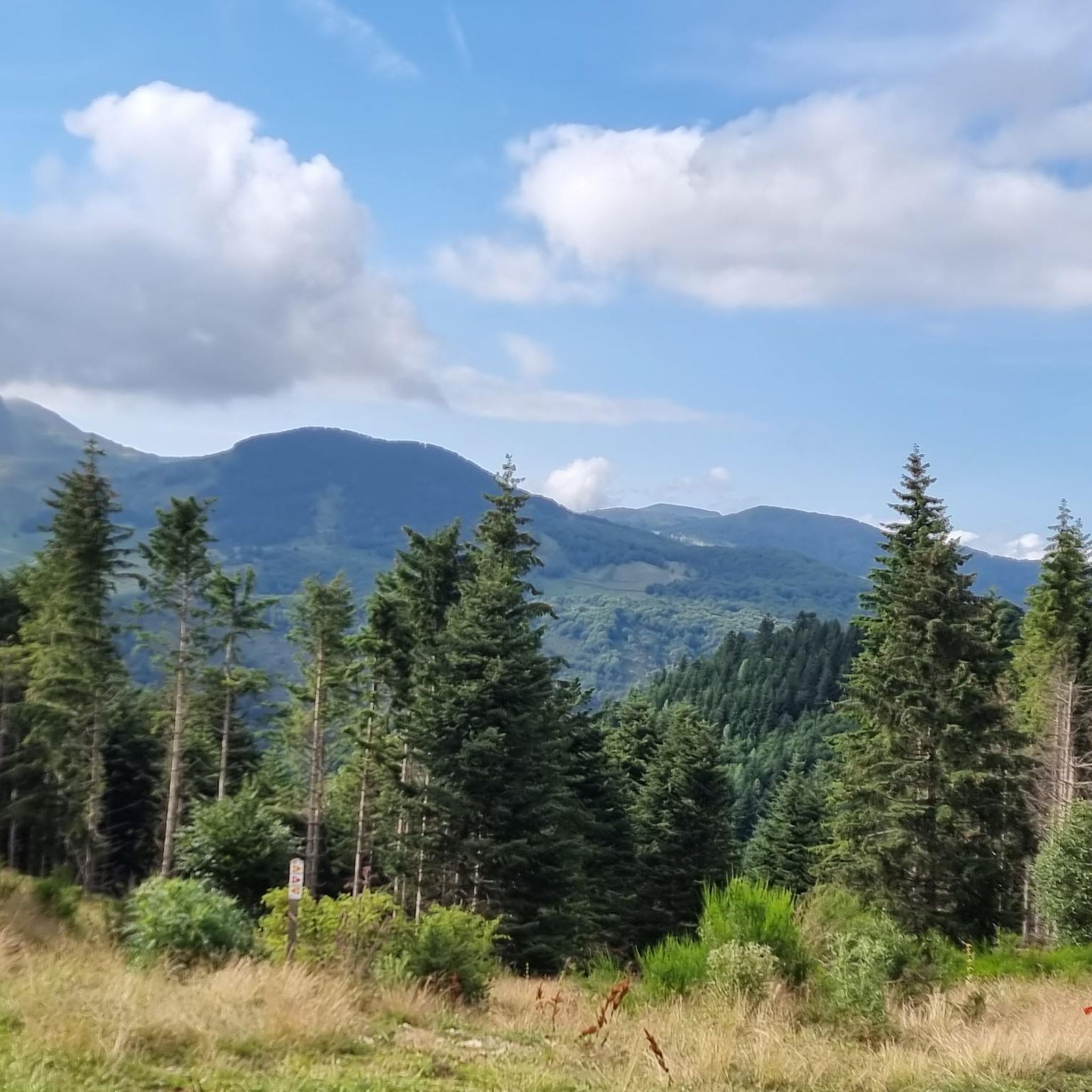
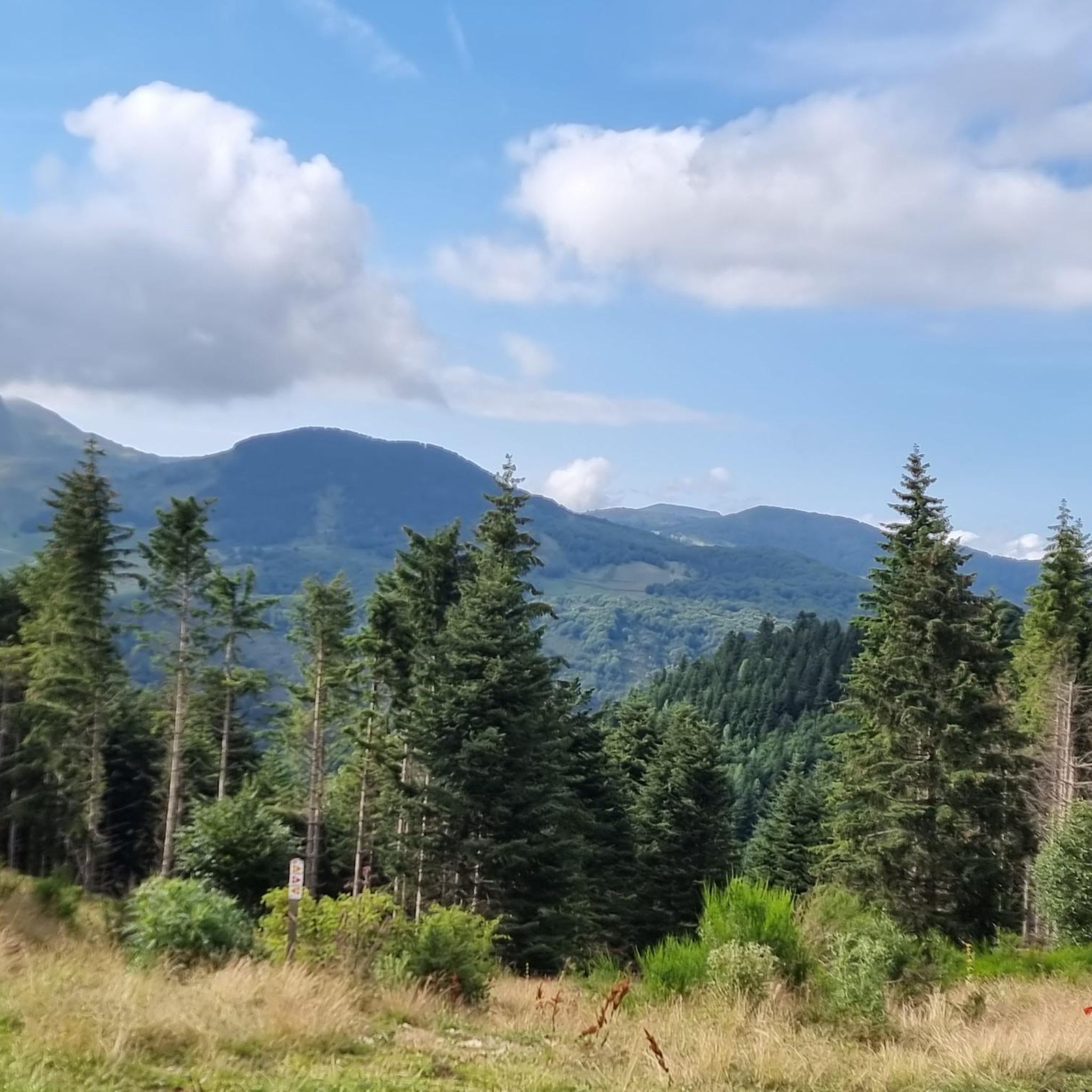
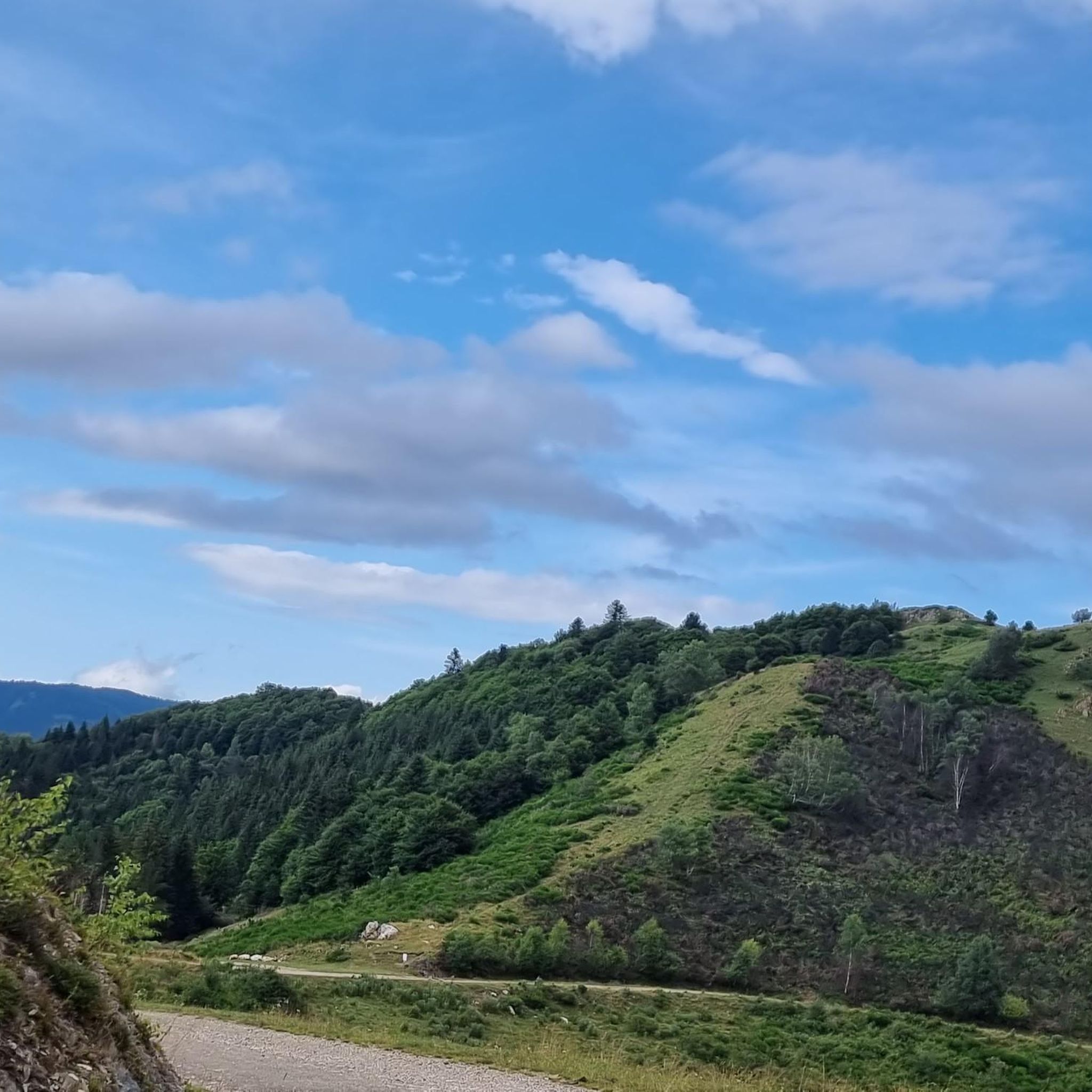
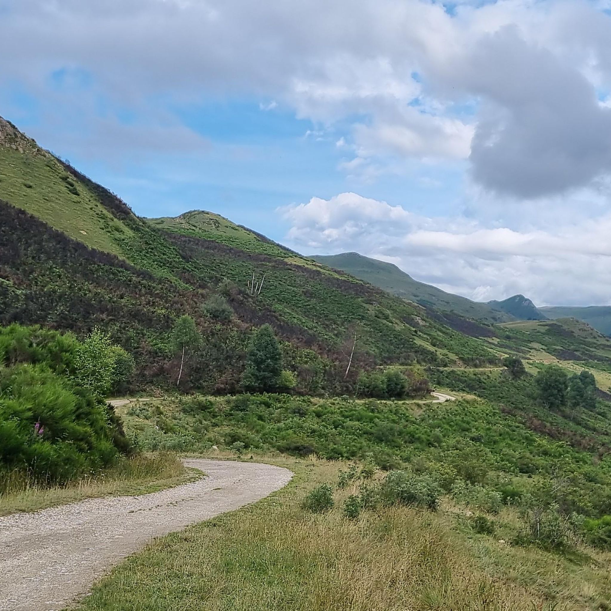

Tips from the Community

There are several fountains and public pools with pure thermal water to warm your feet after the descent.
0
0

Magnificent routes to explore in the region
0
0

Château de Montaillou is a former fortified castle from the 13th century and overlooks the village and its surroundings
9
0
At approximately 1680 meters, it's the starting point for hikes, ski tours, and cycling. The highest point of this charming ski area is 1850 meters.
12
0
Château de Montaillou is a world-famous former fortified castle from the 13th century, the ruins of which were declared a monument by decree on December 21, 1984. The remains of the keep and the fortress are located on a hill overlooking
19
0

Nice relax and shower stop in the swimming pool by Parc de'Espagne. Also a hose to clean the bikes in park near the gondola lift entry.
0
0

Very good route to do in spring or summer
0
0

Magnificent pond in the hollow of the mountains, fed by the Mourguillou stream. Superb hike through the pastures in the jasse de Mourguillou.
1
0
Frequently Asked Questions
How many mountaineering routes are available around Sorgeat?
There are currently 6 mountaineering routes documented on komoot for the Sorgeat area. These routes offer a range of experiences, from moderate to difficult, exploring the diverse terrain of the Ariège Pyrenees.
What kind of terrain can I expect on mountaineering routes around Sorgeat?
Mountaineering routes around Sorgeat are characterized by high-altitude peaks, dramatic vertical cliffs, and pristine mountain lakes. The region is part of the Ariège Pyrenees, offering diverse landscapes including verdant valleys and high-altitude pastures, especially near the Massif du Montcalm. You'll find options for both moderate and difficult ability levels.
Are there any circular mountaineering routes in the Sorgeat area?
Yes, several routes around Sorgeat are designed as loops. For instance, the Étang Bleu – Étang Noir loop from Port de Pailhères is a moderate 11.6 km route featuring high-mountain terrain and lake views. Another option is the Vallée d'Orgeix – Turbine centrale du Teich loop from Ax-les-Thermes, which is 9.7 km and explores deep valleys. For a more challenging loop, consider the Refuge d'En Beys loop from Le Fanguil-Chalet, a difficult 17.1 km trail leading to a mountain refuge.
What natural features or landmarks can I see along the mountaineering routes?
The routes around Sorgeat offer stunning natural beauty. You can expect to see numerous mountain lakes, such as those on the Étang Bleu – Étang Noir loop. The region is also known for its dramatic vertical cliffs and verdant valleys. Notable viewpoints include the View of Étang Bleu and the View of the Rabassoles Ponds. The area is also home to the picturesque Cascade de l'Artigue, with its turquoise basin, offering a refreshing stopover for hikers.
What is the best time of year for mountaineering in Sorgeat?
The best time for mountaineering in Sorgeat generally aligns with late spring, summer, and early autumn (roughly June to September) when the weather is most stable and high-altitude trails are clear of snow. However, conditions can vary significantly, especially at higher elevations in the Massif du Montcalm. Always check local weather forecasts and trail conditions before heading out.
Are there options for more challenging or advanced mountaineering in Sorgeat?
Absolutely. Sorgeat's proximity to the Massif du Montcalm, with peaks exceeding 3,000 meters like Pic du Montcalm and Pique d'Estats, provides significant challenging mountaineering opportunities. Routes like the Refuge d'En Beys loop from Le Fanguil-Chalet (17.1 km, difficult) and the Étang de Comte – L'Estagnol loop from Cascade des Escaliers (6.1 km, difficult) are examples of more demanding trails. These often require good fitness and alpine experience.
Are there any specific permits required for mountaineering in the Ariège Pyrenees?
Generally, no specific permits are required for hiking and mountaineering on established trails within the Pyrenees Ariégeoises Regional Natural Park. However, for certain high-altitude or protected areas, or if you plan to stay overnight in refuges, it's always advisable to check with local authorities or the refuge guardians for any specific regulations or booking requirements. For detailed information on the Massif du Montcalm, you can consult resources like Wikipedia's Montcalm Massif page.
What do other mountaineers say about the routes in Sorgeat?
The mountaineering routes in Sorgeat are highly rated by the komoot community, with an average score of 5.0 stars from over 6 reviews. More than 26 mountaineers have used komoot to explore the varied terrain, often praising the stunning high-mountain landscapes and the challenge of the ascents.
Where can I find parking for mountaineering routes in Sorgeat?
Parking availability varies by trailhead. For routes accessing the Massif du Montcalm, common access points like those from Auzat and the Artigue parking lot are within reasonable reach of Sorgeat. For specific routes, it's best to check the individual tour details on komoot, as many start points, such as Port de Pailhères or Le Fanguil-Chalet, typically have designated parking areas.
Are there any opportunities for rock climbing near Sorgeat?
Yes, the broader Ariège region around Sorgeat offers diverse rock climbing opportunities. You'll find crags on limestone, granite, and gneiss formations, with popular spots around Niaux and Lordat providing routes of varying difficulty. These climbing sites are often within a short drive, allowing enthusiasts to explore multiple venues.
How long do mountaineering routes around Sorgeat typically take?
The duration of mountaineering routes around Sorgeat varies significantly based on distance, elevation gain, and difficulty. For example, the moderate Étang Bleu – Étang Noir loop from Port de Pailhères (11.6 km) takes approximately 4 hours 57 minutes. A more challenging route like the Refuge d'En Beys loop from Le Fanguil-Chalet (17.1 km) can take around 5 hours 51 minutes. Always factor in your own fitness level and potential stops for breaks or photography.
What are some places to explore near the mountaineering routes in Sorgeat?
Beyond the trails, the region offers several interesting places. The town of Ax-les-Thermes is a nearby settlement with amenities and is a starting point for some routes, such as the Ax-les-Thermes loop. You can also visit the Pailhères Pass for scenic views or explore the Mérens sulphur springs. The village of Mérens-les-Vals is also nearby.
Are there any family-friendly mountaineering routes near Sorgeat?
While many mountaineering routes in Sorgeat involve significant elevation and challenging terrain, some moderate options might be suitable for families with older children who are accustomed to hiking. For example, the Vallée d'Orgeix – Turbine centrale du Teich loop from Ax-les-Thermes is a moderate 9.7 km path exploring valleys, which could be an option. Always assess the difficulty and length against your family's experience and fitness levels.
Most popular routes around Sorgeat
Most popular attractions around Sorgeat

Get inspired with the komoot mobile app


Explore more
Browse the best Mountain Hikes & Routes in other regions.
