The best mountain hikes around Montaillou
3.3
(3)
8
hikers
3
hikes
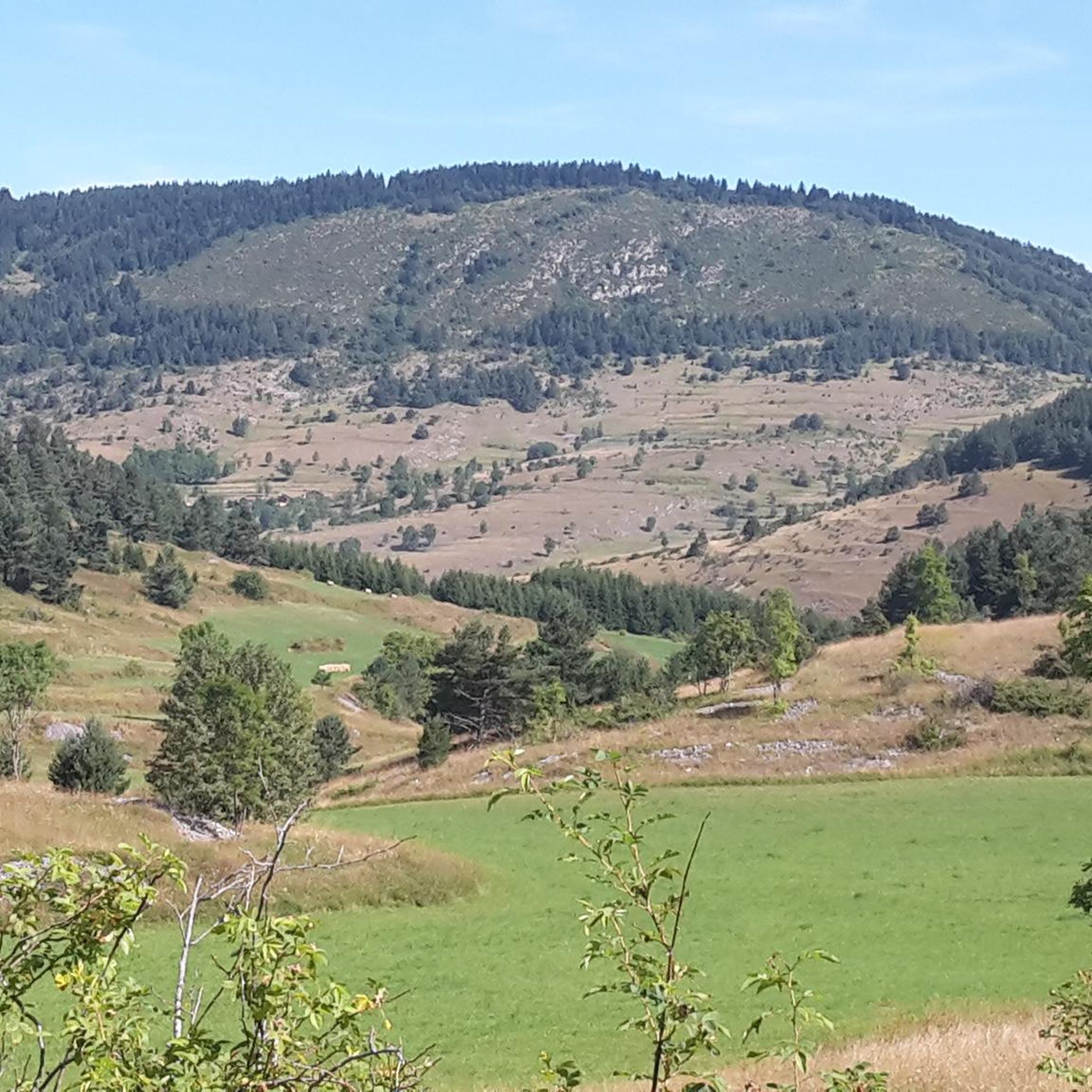
Mountaineering routes around Montaillou traverse the mountainous terrain of the French Pyrenees, characterized by high-altitude lakes, valleys, and rocky outcrops. The region offers varied elevations, with trails leading through forests and open mountain landscapes. This area provides opportunities for exploring diverse natural features, from tranquil étangs to panoramic viewpoints.
Best mountaineering routes around Montaillou
- The most popular mountaineering route is Étang Bleu – Étang Noir loop from Port de Pailhères, a 7.2 miles (11.6 km) trail that takes about…
Last updated: July 8, 2026
2
hikers
8.55km
02:50
350m
360m
Moderate mountaineering route. Good fitness required. Mostly accessible paths. Sure-footedness required.
4.0
(1)
2
hikers
14.8km
04:48
620m
630m
Moderate mountaineering route. Good fitness required. Mostly accessible paths. Sure-footedness required.

Sign up for free
2.5
(2)
4
hikers
16.3km
05:55
780m
780m
Hard mountaineering route. Very good fitness required. Sure-footedness, sturdy shoes and alpine experience required.
Our route recommendations are based on thousands of hikes, rides, and runs completed by other people on komoot.
Start today with a free account
Your next adventure awaits.
Login or Signup
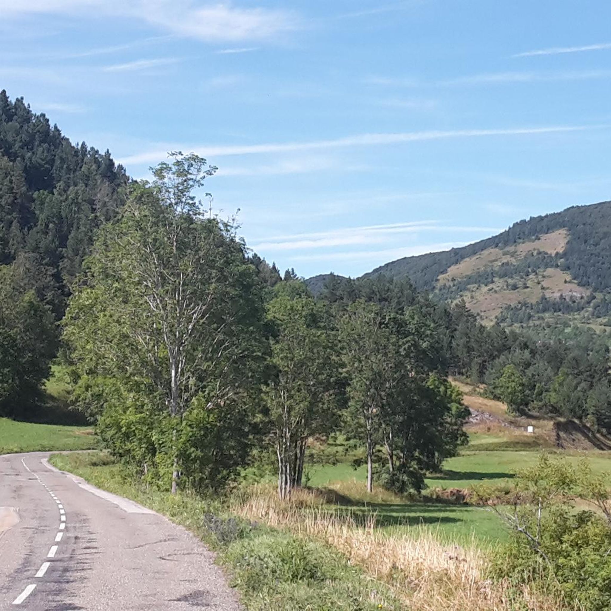
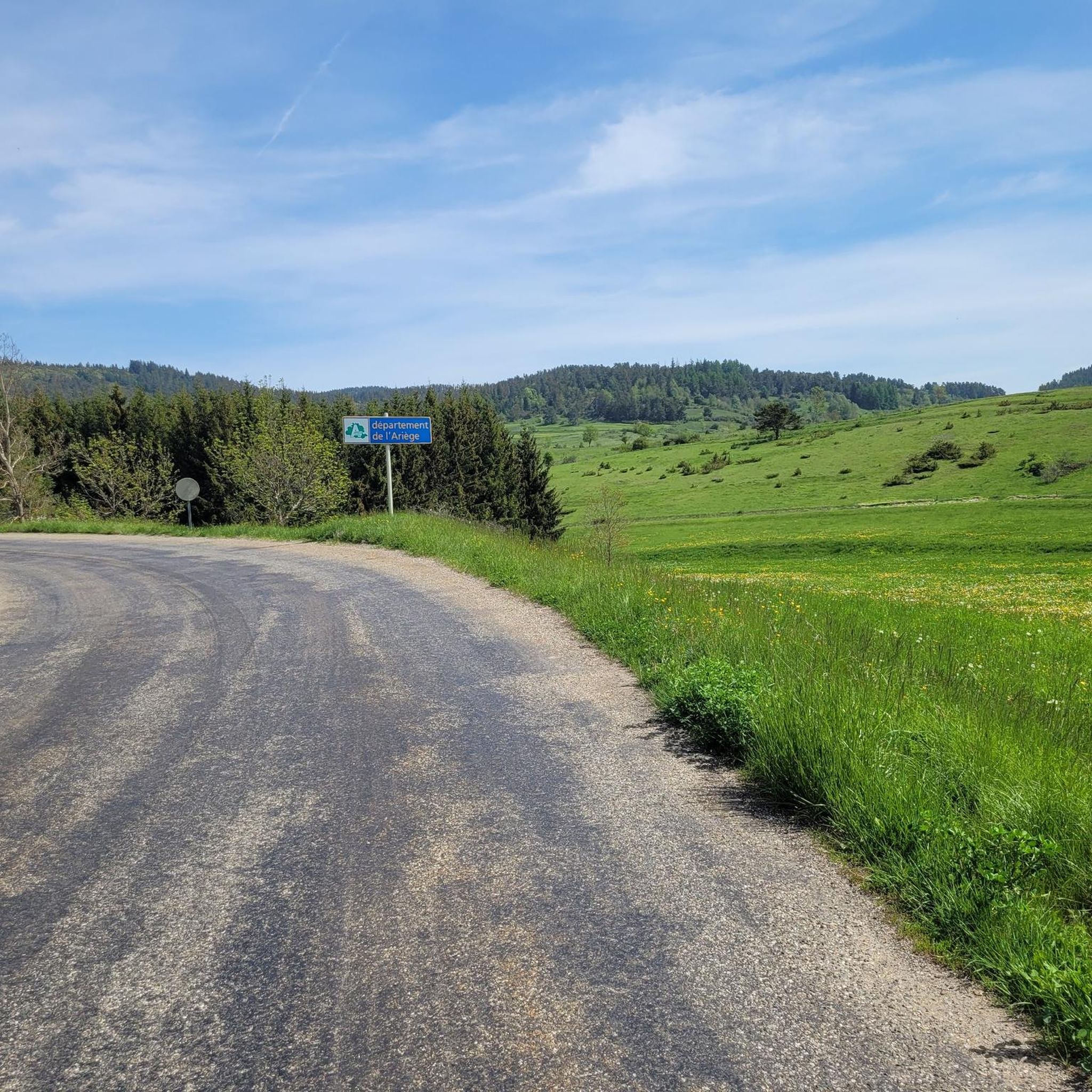
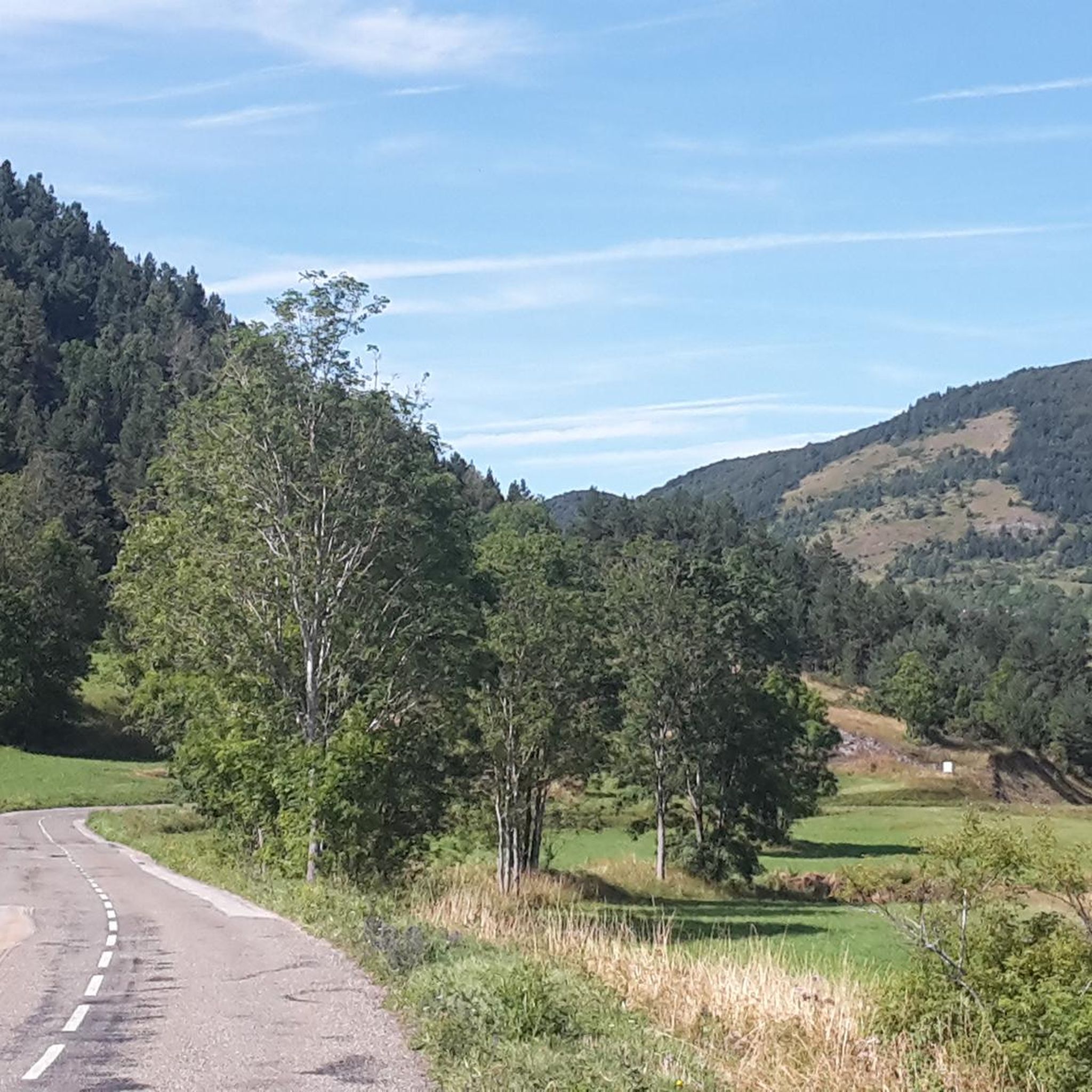
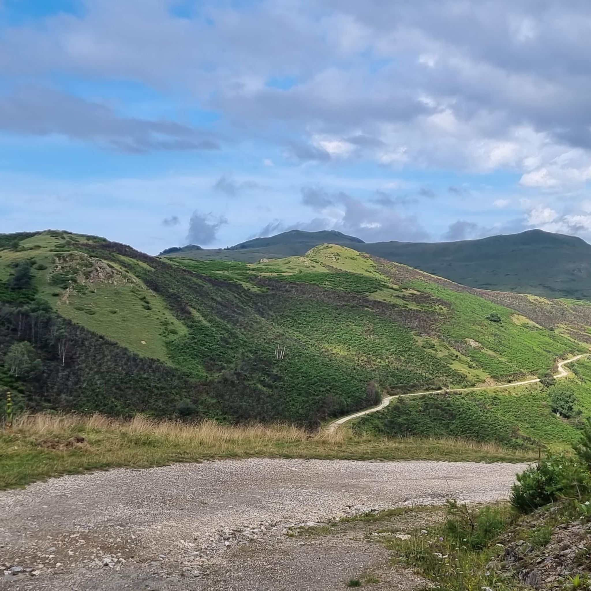

Tips from the Community

There are several fountains and public pools with pure thermal water to warm your feet after the descent.
0
0

Château de Montaillou is a former fortified castle from the 13th century and overlooks the village and its surroundings
9
0
At approximately 1680 meters, it's the starting point for hikes, ski tours, and cycling. The highest point of this charming ski area is 1850 meters.
12
0
Château de Montaillou is a world-famous former fortified castle from the 13th century, the ruins of which were declared a monument by decree on December 21, 1984. The remains of the keep and the fortress are located on a hill overlooking
19
0

Nice relax and shower stop in the swimming pool by Parc de'Espagne. Also a hose to clean the bikes in park near the gondola lift entry.
0
0

Very good route to do in spring or summer
0
0

After rolling over various cols, Manier can hang out well
0
0

The Château de Montaillou is located in Ariège. It is a medieval fortress already documented in the 13th century which is today in a state of ruin. Located on a slope of Mount Allion, three walls and other vestiges of this construction are still preserved.
5
0
Frequently Asked Questions
What are the typical difficulty levels for mountaineering routes around Montaillou?
The mountaineering routes in the Montaillou area primarily range from moderate to difficult. There are 4 moderate routes and 1 difficult route listed in this guide, offering options for various experience levels.
Are there any challenging routes for experienced mountaineers in Montaillou?
Yes, for experienced mountaineers seeking a challenge, the Views of Andorra loop from Ascou is classified as difficult. This route covers 16.3 km with over 780 meters of elevation gain, providing a demanding experience.
When is the best time of year for mountaineering in the Montaillou region?
The best time for mountaineering in the Montaillou region, located in the French Pyrenees, is typically from late spring through early autumn (May to October). During these months, the weather is generally more stable, and trails are clear of snow, offering optimal conditions for exploring the high-altitude landscapes.
What kind of gear should I bring for mountaineering in Montaillou?
For mountaineering in Montaillou, it's essential to bring appropriate gear for mountain environments. This includes sturdy hiking boots, layered clothing suitable for changing weather, rain gear, sun protection, sufficient water and snacks, a map or GPS device, and a first-aid kit. Depending on the season and specific route, trekking poles can also be beneficial.
Are there any circular mountaineering routes available around Montaillou?
Yes, several routes in the area are circular, allowing you to return to your starting point. Examples include the Étang Bleu – Étang Noir loop from Port de Pailhères, the Vallée d'Orgeix – Turbine centrale du Teich loop from Ax-les-Thermes, and the Quercourt Rock – Montaillou Castle loop from Camurac.
What kind of views can I expect on mountaineering routes near Montaillou?
Mountaineering routes near Montaillou offer diverse and stunning views. You can expect panoramic vistas of the Pyrenean peaks, serene high-altitude lakes like Étang Bleu and Étang Noir, and lush mountain valleys. Some routes, such as the Views of Andorra loop from Ascou, even provide distant glimpses of Andorra.
Where are the main starting points or trailheads for mountaineering routes in Montaillou?
Common starting points for mountaineering routes in the Montaillou area include Port de Pailhères, Ax-les-Thermes, Camurac, and Ascou. These locations often provide access to various trails and may have parking facilities.
What interesting landmarks or attractions can be found near the mountaineering routes?
The Montaillou region is rich in historical and natural landmarks. Along or near the mountaineering routes, you might encounter sites like Montaillou Castle, the ruins of Montaillou Village and Château, or the impressive Montségur Castle. Natural features include mountain passes like Pailhères Pass.
Are there any easier mountaineering routes suitable for those with less experience?
While all routes in this guide are rated moderate to difficult, the Ax-les-Thermes loop from Ax-les-Thermes is one of the shorter moderate options, covering 8.5 km and typically taking around 2 hours 50 minutes. It offers a good introduction to the local mountain landscape without the extreme demands of the more difficult trails.
What do other mountaineers enjoy most about the routes in Montaillou?
The mountaineering routes around Montaillou are highly regarded by the komoot community, with an average rating of 4.3 stars. Reviewers often praise the diverse terrain, from high-altitude lakes to forested slopes, and the opportunities to explore the unique natural features of the French Pyrenees.
Are there any routes that feature mountain lakes?
Yes, the region is known for its beautiful high-altitude lakes. The Étang Bleu – Étang Noir loop from Port de Pailhères is a prime example, specifically designed to explore two notable mountain lakes, offering stunning scenery and tranquil spots.
Most popular attractions around Montaillou

Get inspired with the komoot mobile app


Explore more
Browse the best Mountain Hikes & Routes in other regions.
