The best MTB trails around La Prévière
4.0
(10)
45
riders
11
rides
Mountain bike trails around La Prévière traverse a landscape characterized by woodlands, lakes, and rolling countryside. The region offers a mix of natural paths and designated cycle routes, providing varied terrain for mountain biking. Elevation gains are generally moderate, making it suitable for riders seeking enjoyable, sustained efforts rather than steep climbs. The area's network of trails connects natural features like forests and ponds with local points of interest.
Best mountain bike trails around La Prévière
- The most popular mountain…
Last updated: June 24, 2026
5.0
(2)
15
riders
46.7km
03:22
320m
320m
Moderate mountain bike ride. Good fitness required. Suitable for all skill levels.
11
riders
45.2km
03:18
240m
240m
Moderate mountain bike ride. Good fitness required. Advanced riding skills necessary.

Sign up for free
4.0
(6)
7
riders
22.8km
01:48
110m
110m
Moderate mountain bike ride. Great for any fitness level. Advanced riding skills necessary.
9
riders
Moderate mountain bike ride. Good fitness required. Advanced riding skills necessary.
3.8
(5)
10
riders
59.0km
03:24
260m
260m
Moderate mountain bike ride. Good fitness required. Suitable for all skill levels.
Get access to more routes and recommendations from other explorers.
Sign up for free
Already have an account?
Our route recommendations are based on thousands of hikes, rides, and runs completed by other people on komoot.
Start today with a free account
Your next adventure awaits.
Login or Signup


Tips from the Community

Statue representing a spider created by an artist from Anjou Bleu
0
0

A much larger photo gallery with further images of this beautifully situated pond has been uploaded by various hikers at the highlight (corresponding to this sport). Their photos of the "Etang de St. Aubin" can be found via the following link =>> https://www.komoot.com/de-de/highlight/6116353/gallery
0
0


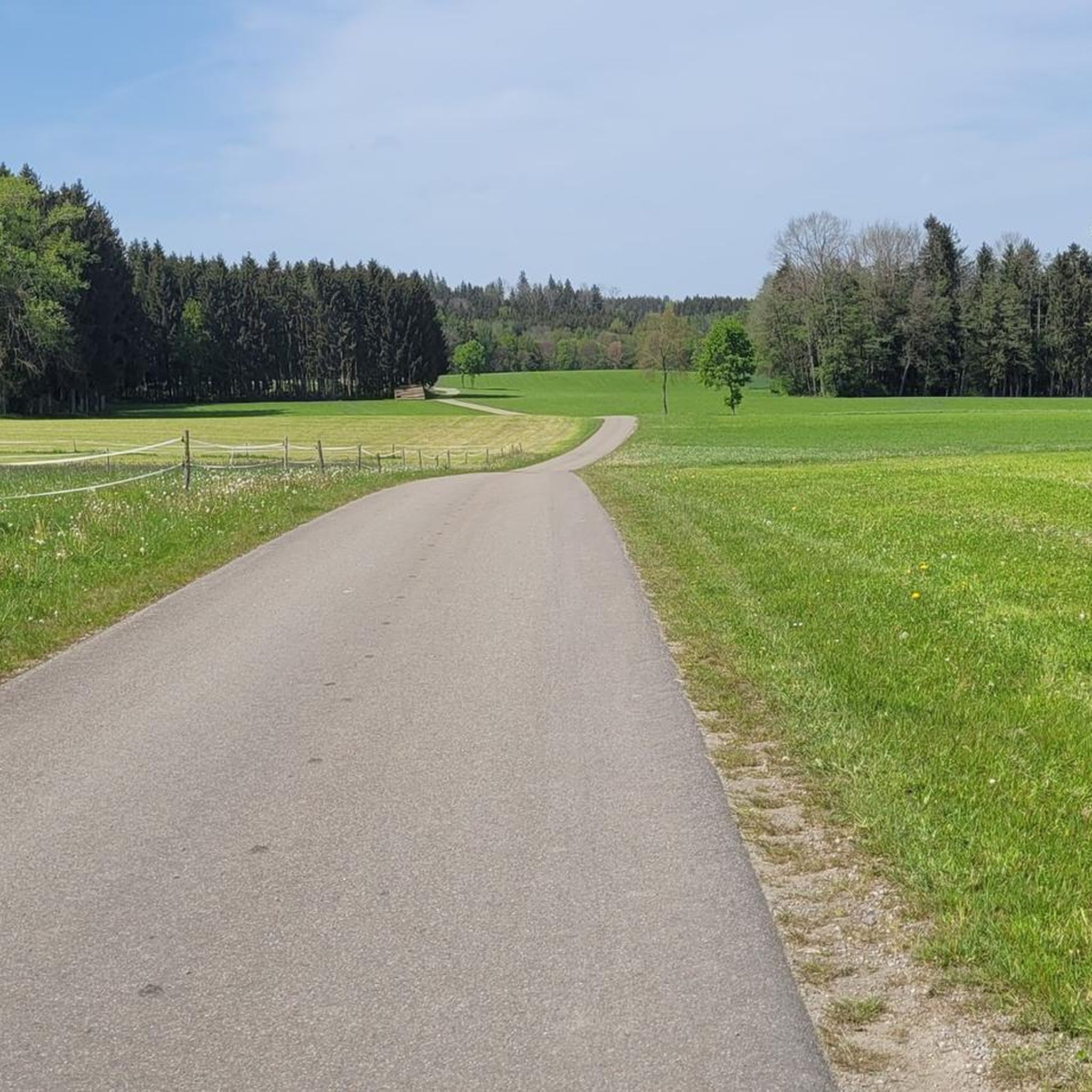
Beautiful views, perfect for cycling or walking
0
0


defended Anjou against the Marches of Brittany - besieged several times during the 100 Years' War
0
0

On the borders of the Armorican massif, the Segré-Châteaubriant greenway winds along the lines of ridges passing through Pouancé and thus offers beautiful views of the typical landscapes of blue Anjou. Whether you are by bike or on foot for the more enduring, you will enjoy traveling the 46 kilometers of this old railway line which takes you to the Vilaine Valley. From Segré you will also reach the Mayenne Valley via Château-Gontier. source: https://www.anjou-tourisme.com/fr/diffusio/randonnees/voie-verte-segre-chateaubriant-via-pouance-segre-en-anjou-bleu_TFOITIPDL049V50DXXG
0
0
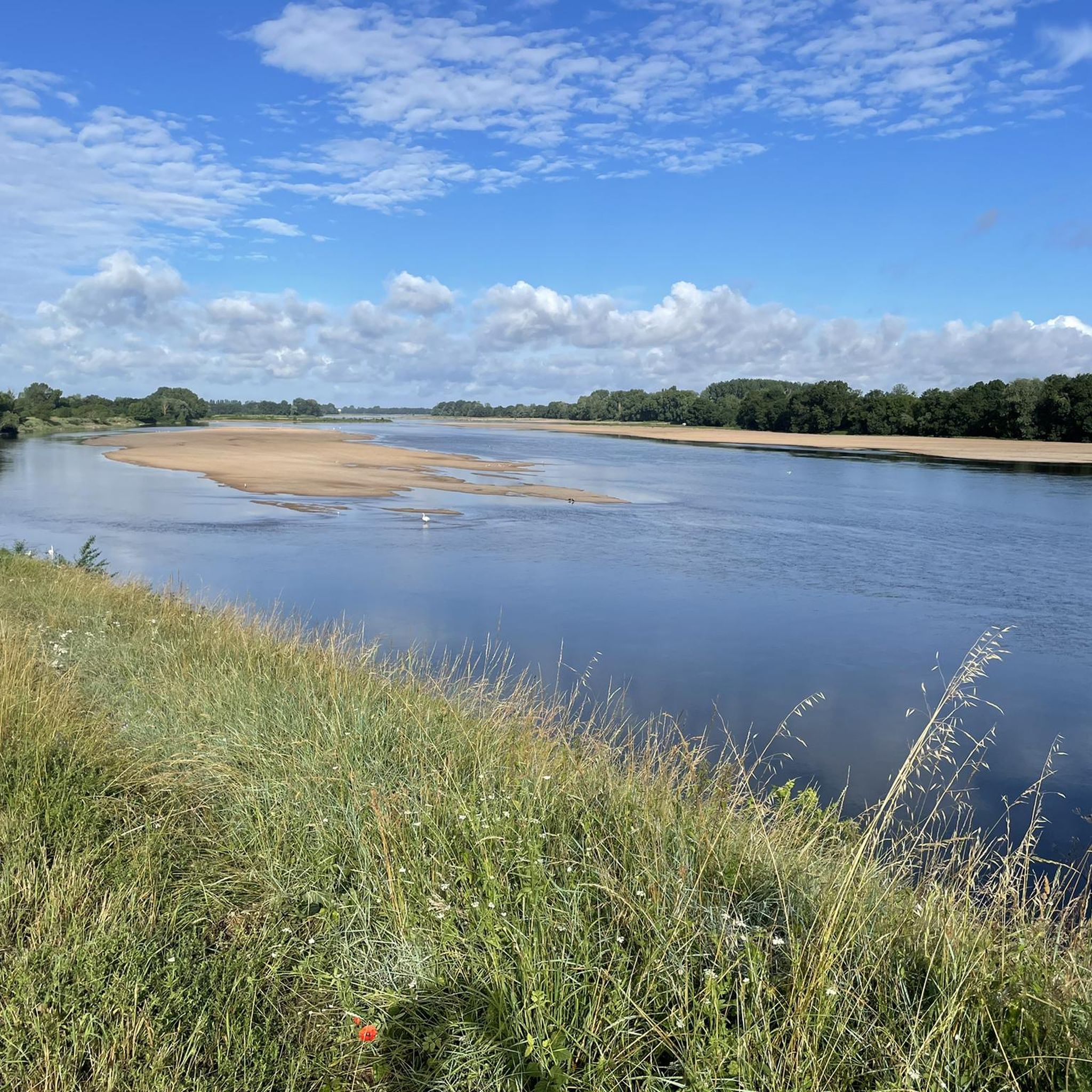
The Saint-Aubin pond, fed by the Verzée, is a pond located in the French commune of Pouancé, in the department of Maine-et-Loire. Probably before the 12th century, the Saint-Aubin pond, covering 42 hectares, is divided into the Saint-Aubin pond, the Saint-Jacques pond and the Pouancé pond. history : From the twelfth century, the priory of Madeleine had fishing tithe rights on the Pouancé ponds. At the beginning of the 13th century, the lord of Pouancé, William III, decided to establish a dike on the Verzée, thus creating the Pouancé pond, at the foot of the medieval castle[3]. A pier was built on the Saint-Aubin pond to allow the parishioners of Pouancé to access the parish church of Saint-Aubin de Pouancé. This levee is, however, often submerged[4]. In 1977, the commune of Pouancé developed the body of water into a nautical base by building a beach and a campsite nearby. source: https://fr.m.wikipedia.org/wiki/%C3%89tang_de_Saint-Aubin
0
0
Frequently Asked Questions
How many mountain bike trails are available around La Prévière?
There are over 10 mountain bike trails documented around La Prévière on komoot, offering a variety of experiences for different skill levels.
Are there easy mountain bike trails suitable for beginners in La Prévière?
Yes, La Prévière offers several easy mountain bike trails. For instance, the region has 2 routes classified as easy, making them suitable for beginners or those looking for a relaxed ride.
What are the typical distances and elevation gains for mountain bike trails in this area?
Mountain bike trails around La Prévière generally feature moderate distances and elevation gains. Routes often range from 20 km to over 50 km, with elevation gains typically between 100 and 350 meters, providing sustained efforts without overly steep climbs.
Are there any family-friendly mountain bike routes in La Prévière?
Many of the trails in La Prévière, particularly the easier and moderate ones that traverse woodlands and designated cycle paths, are suitable for families. The moderate elevation gains mean less strenuous climbs, making them enjoyable for a wider range of riders.
When is the best time of year to go mountain biking in La Prévière?
The best time for mountain biking in La Prévière is typically from spring through autumn. During these seasons, the weather is generally mild, and the trails through woodlands and along lakes are most enjoyable. Winter riding is possible but may involve colder temperatures and potentially muddier conditions.
What kind of terrain can I expect on the mountain bike trails?
The terrain around La Prévière is characterized by a mix of natural paths through woodlands, rolling countryside, and designated cycle routes. You'll encounter varied surfaces, from forest tracks to paved sections, often connecting natural features like lakes and ponds.
Are there circular mountain bike routes available?
Yes, many of the mountain bike routes in La Prévière are designed as loops, allowing you to start and finish at the same point. An example is the Étang de la Forêt d’Araize loop from La Touche, which is a moderate 22.8 km ride.
What interesting landmarks or attractions can I see along the mountain bike trails?
Several trails pass by notable attractions. For instance, the Pouancé Castle loop from Pouancé explores the countryside around the historic Pouancé Castle. Another route, the Étang de la Forêt d’Araize – Étang de Saint-Aubin loop from Carbay, winds past the scenic Saint-Aubin Pond.
Can I bring my dog on the mountain bike trails in La Prévière?
While specific regulations can vary, many natural paths and forest trails in the La Prévière region are generally dog-friendly, especially if your dog is well-behaved and kept under control. Always check local signage for any restrictions, particularly in nature reserves or private areas.
What do other mountain bikers enjoy most about riding in La Prévière?
The komoot community highly rates the mountain biking experience in La Prévière, with an average score of 4.2 stars from over 15 reviews. Riders often praise the varied terrain, the peaceful woodlands, and the well-maintained cycle paths that connect natural beauty spots and local points of interest.
Are there any longer mountain bike routes for experienced riders?
Yes, for those seeking longer rides, there are several moderate routes that cover significant distances. The Blue Bridge over the Oudon in Segré – Gare de Combrée Cycle Path loop from Pouancé, for example, is a 57.5 km trail that offers varied terrain and takes around 3 hours 18 minutes to complete.
Are there routes that combine forest riding with lake views?
Absolutely. Many routes in the area integrate both forest sections and views of the region's lakes. The Bois de Maubusson – Forêt de Chanveaux loop from Saint-Julien-de-Vouvantes is a moderate 35.4 km trail that takes you through beautiful forested areas.
Most popular attractions around La Prévière

Get inspired with the komoot mobile app


Explore more
Browse the best MTB trails in other regions.
