The best walks and hikes around Mauressac
4.8
(27)
204
hikers
31
hikes
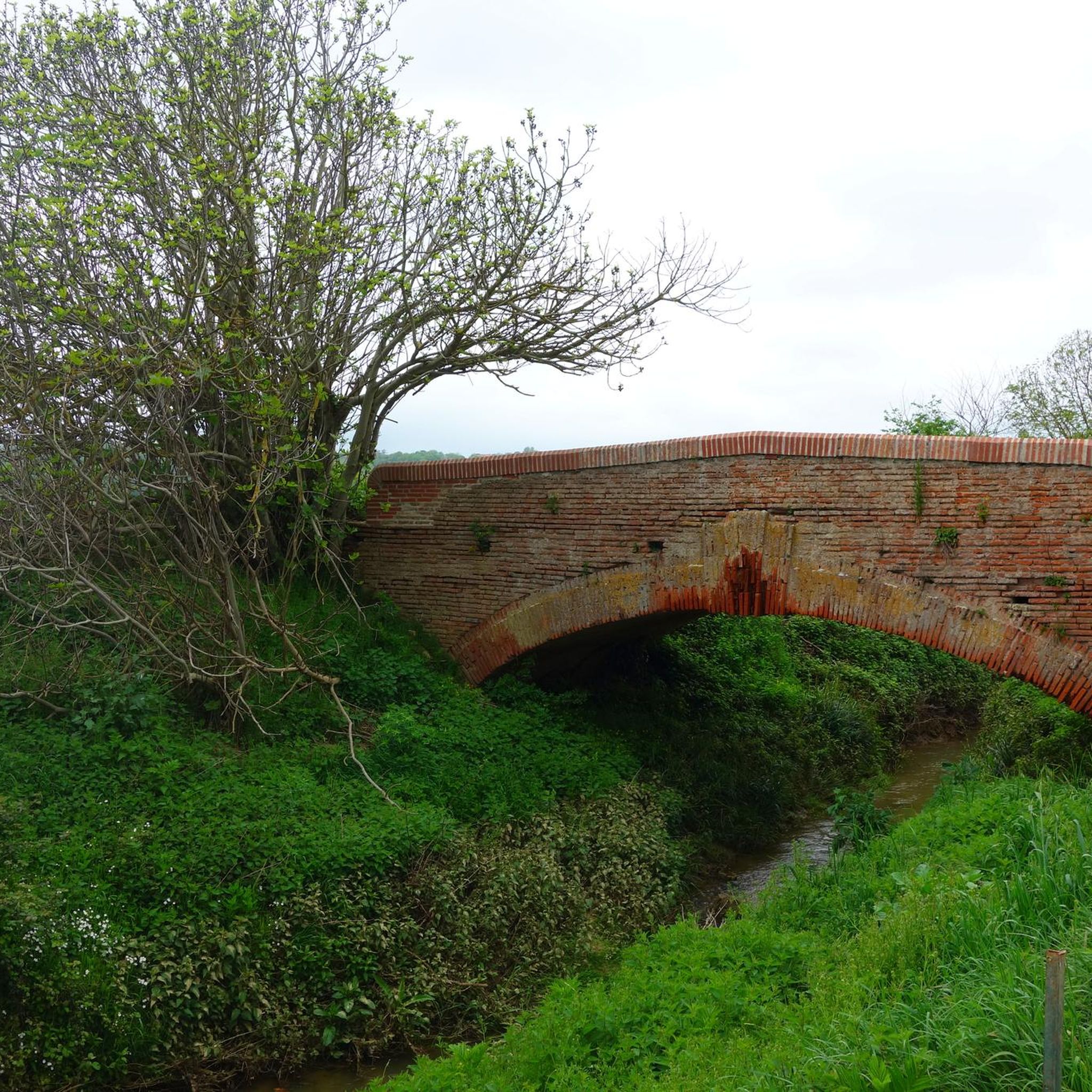
Hiking around Mauressac offers a network of trails through varied terrain, characterized by rolling hills and agricultural landscapes. The region features a mix of open fields, woodlands, and rural paths, providing diverse environments for outdoor exploration. Elevations are generally gentle, making many routes accessible for different fitness levels. The area's natural setting provides opportunities for tranquil walks away from urban areas.
Best hiking trails around Mauressac
- The most popular hiking route is Hiking loop from Auterive, a 5.2 miles…
Last updated: July 8, 2026
15
hikers
12.2km
03:23
220m
220m
Moderate hike. Good fitness required. Easily-accessible paths. Suitable for all skill levels.
5
hikers
14.8km
04:13
340m
340m
Moderate hike. Good fitness required. Easily-accessible paths. Suitable for all skill levels.

Sign up for free
4
hikers
4.46km
01:09
30m
30m
Easy hike. Great for any fitness level. Easily-accessible paths. Suitable for all skill levels.
4
hikers
7.27km
01:56
80m
80m
Easy hike. Great for any fitness level. Easily-accessible paths. Suitable for all skill levels.
3
hikers
8.89km
02:31
200m
200m
Moderate hike. Good fitness required. Easily-accessible paths. Suitable for all skill levels.
Get access to more routes and recommendations from other explorers.
Sign up for free
Already have an account?
Our route recommendations are based on thousands of hikes, rides, and runs completed by other people on komoot.
Start today with a free account
Your next adventure awaits.
Login or Signup



Tips from the Community

Mountain bike trail in the forest but staying on this path is pleasant on gravel
0
0

Access to the orientation table is via a small spiral path. During the ascent, you will pass by the mill with a direct view of the church. (The climb can also be done by mountain bike, gravel. By road bike it is also fine but not very recommended)
1
0
Frequently Asked Questions
How many hiking trails are available around Mauressac?
There are over 25 hiking routes in the Mauressac area, offering a variety of experiences. You'll find a good balance of easy and moderate trails to explore.
Are there easy hiking trails suitable for beginners or casual walkers around Mauressac?
Yes, approximately half of the trails around Mauressac are rated as easy. A good option is the Garde Mill loop from Castagnac, which is 4.2 miles (6.8 km) long and takes about 1 hour 51 minutes to complete through pleasant rural landscapes.
What are some family-friendly hiking routes in Mauressac?
For families, the easier and shorter routes are ideal. The Cintegabelle Orientation Table loop from Cintegabelle is an easy 2.8-mile (4.5 km) trail that can be completed in about 1 hour 10 minutes, offering gentle terrain suitable for most ages.
Are there any circular hiking routes near Mauressac?
Many of the hiking routes around Mauressac are circular, allowing you to start and end at the same point. Examples include the popular Hiking loop from Auterive and the Eucalyptus Forest loop from Saint-Quirc.
What kind of landscapes can I expect to see on hikes around Mauressac?
The Mauressac region is characterized by rolling hills, diverse woodlands, and tranquil rural paths. You'll encounter a mix of open fields, agricultural landscapes, and forested areas, providing a varied natural setting for your hikes.
What do other hikers enjoy most about hiking in Mauressac?
The trails in Mauressac are highly rated by the komoot community, with an average score of 4.8 stars. Hikers often praise the peaceful rural atmosphere, the well-maintained paths, and the diverse scenery that makes for an enjoyable outdoor experience.
Are there any interesting landmarks or attractions to see along the hiking trails?
Yes, the area offers several points of interest. You might encounter the Alley and church of Lézat, or the Windmills and Countryside East of the Lèze. The Mill and viewpoint overlooking Saint-Sulpice-sur-Lèze also offers scenic views.
What is the best season for hiking around Mauressac?
Spring and autumn are generally the most pleasant seasons for hiking in Mauressac, with mild temperatures and beautiful natural colors. Summer can also be enjoyable, especially in the mornings or late afternoons, but be prepared for warmer weather. Winter offers a different, quieter charm, though some paths might be muddy after rain.
Are there any longer, more challenging routes for experienced hikers?
While there are no 'difficult' rated trails, experienced hikers can enjoy longer moderate routes. The Table d'orientation loop from Gaillac-Toulza is a moderate 9.2-mile (14.8 km) trail that takes over 4 hours to complete, offering a more extended exploration of the local terrain.
What should I bring for a hike in Mauressac?
For hiking in Mauressac, it's advisable to bring comfortable walking shoes, water, and appropriate clothing for the weather conditions. Sun protection (hat, sunscreen) is recommended during sunny periods. For longer hikes, snacks and a basic first-aid kit are also useful.
Are there options for parking near the trailheads in Mauressac?
Most trailheads in the Mauressac area, especially those starting from villages like Auterive, Saint-Quirc, or Castagnac, offer convenient parking options. It's always a good idea to check the specific tour details on komoot for parking information related to your chosen route.
Can I bring my dog on the hiking trails in Mauressac?
Many of the rural paths and trails around Mauressac are suitable for dog walking. However, always keep your dog under control, especially when passing through agricultural areas or near livestock. It's also good practice to check local regulations or specific trail signs regarding dogs.
Most popular attractions around Mauressac

Get inspired with the komoot mobile app


Explore more
Browse the best Hikes in other regions.
