The best walks and hikes around Estouches
4.8
(32)
170
hikers
31
hikes
Hiking around Estouches provides access to the diverse landscapes of the Essonne department and nearby regional parks. The area is characterized by rural trails, cultivated plateaus, and wooded hillsides, with the Essonne River Valley offering paths through forests and fields. Estouches serves as a gateway to extensive natural areas, including parts of the Regional Natural Park of the Upper Chevreuse Valley and the Forêt de Rambouillet. These surroundings feature a network of marked trails amidst varied terrain.
Best hiking trails…
Last updated: June 24, 2026
4.7
(3)
15
hikers
6.63km
01:45
60m
60m
Easy hike. Great for any fitness level. Easily-accessible paths. Suitable for all skill levels.
5.0
(1)
11
hikers
13.4km
03:36
150m
150m
Moderate hike. Good fitness required. Easily-accessible paths. Suitable for all skill levels.

Sign up for free
6
hikers
4.16km
01:07
50m
50m
Easy hike. Great for any fitness level. Easily-accessible paths. Suitable for all skill levels.
5.0
(1)
9
hikers
12.6km
03:22
140m
140m
Moderate hike. Good fitness required. Easily-accessible paths. Suitable for all skill levels.
5.0
(1)
2
hikers
4.24km
01:07
40m
40m
Easy hike. Great for any fitness level. Easily-accessible paths. Suitable for all skill levels.
Get access to more routes and recommendations from other explorers.
Sign up for free
Already have an account?
Our route recommendations are based on thousands of hikes, rides, and runs completed by other people on komoot.
Start today with a free account
Your next adventure awaits.
Login or Signup


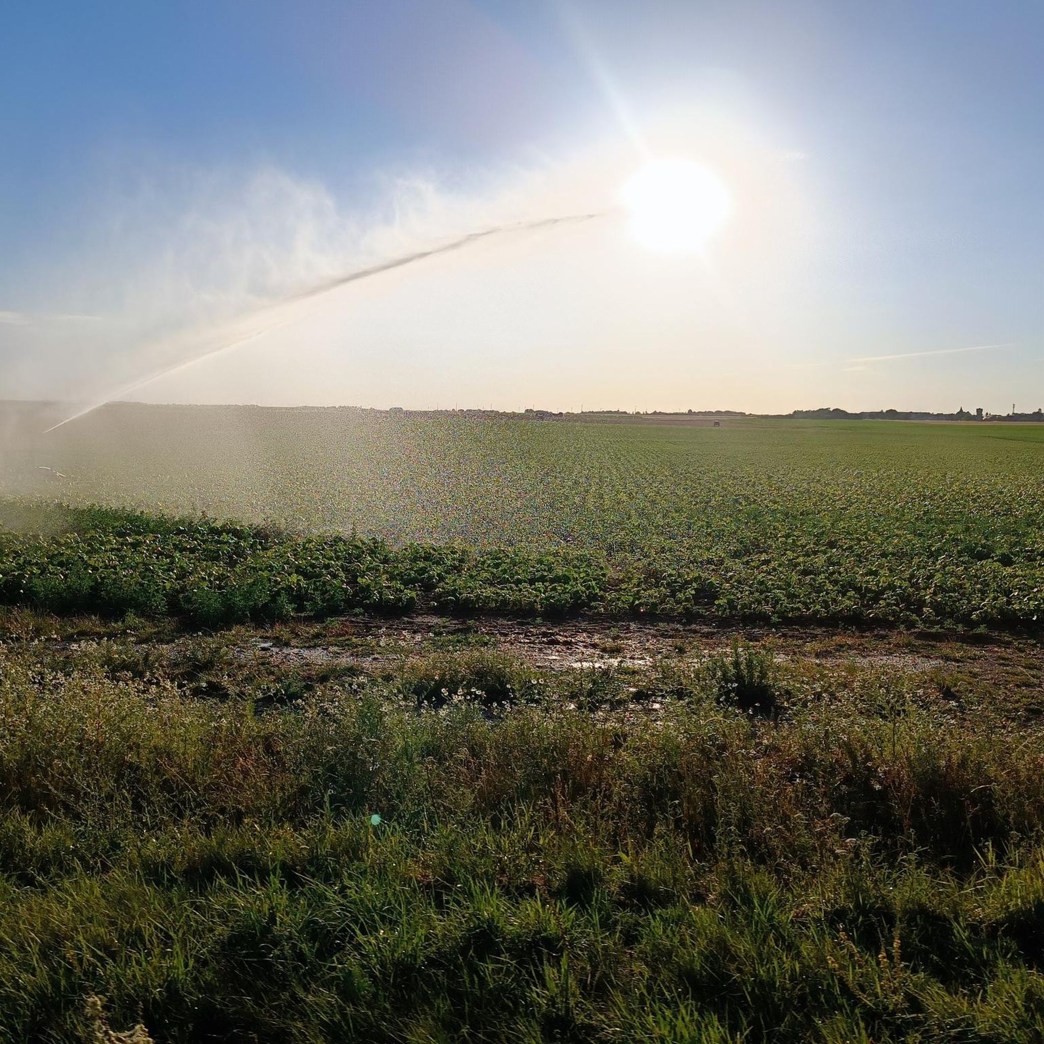

Tips from the Community

have a drink and ask Antoine to sing one of his songs...
0
0
Frequently Asked Questions
What kind of terrain can I expect on hikes around Estouches?
Hiking around Estouches offers a mix of rural trails, cultivated plateaus, and wooded hillsides. The Essonne River Valley provides paths through forests and fields. You'll find varied landscapes, from gentle gradients typical of the Le Mérévillois area to more undulating terrain in the broader Essonne department.
Are there easy hiking options suitable for beginners or casual walkers?
Yes, there are several easy hiking options. For instance, the Hiking loop from Le Mérévillois is an easy 4.2-mile (6.7 km) path with gentle gradients through fields and woodlands. Overall, about half of the trails in the area are rated as easy.
What natural features or landmarks can I see while hiking near Estouches?
While Estouches itself is a gateway, the surrounding region offers diverse natural features. You can explore the preserved valleys, picturesque ponds, and even waterfalls in the Regional Natural Park of the Upper Chevreuse Valley. The Forêt de Rambouillet features distinctive Rochers d'Angennes and the Cascades du Petit Moulin. Along the Essonne River, you might discover historical mills and protected natural areas rich in biodiversity.
Are there any circular hiking routes available?
Yes, many routes around Estouches are designed as loops. Popular circular options include the Café de la Paix – 8 loop from Saclas, which is a moderate 8.6-mile (13.9 km) trail, and the Café de la Paix – Lake Saclas loop from Saclas, a 5.8-mile (9.3 km) route that passes Lake Saclas.
Is the area suitable for family-friendly hikes?
Yes, the region offers many family-friendly options, particularly among the easier trails. The varied landscapes with woodlands and open fields provide engaging environments for children. Look for shorter, less strenuous routes to ensure an enjoyable experience for all ages.
Can I bring my dog on the hiking trails around Estouches?
Generally, dogs are welcome on many trails in the Essonne department and surrounding natural areas, especially on leash. However, specific rules may apply in certain protected zones or nature reserves. It's always advisable to check local signage or park regulations for the specific trail you plan to hike.
What is the best time of year to go hiking in Estouches?
The best time to hike around Estouches is typically during spring, summer, and early autumn when the weather is mild and the natural landscapes are at their most vibrant. Spring brings blooming flora, while autumn offers beautiful foliage. Winter hiking is possible but may require appropriate gear for colder, potentially wet conditions.
How can I get to the hiking trails using public transport?
While Estouches itself is a smaller commune, the broader Essonne department has some public transport links. Access to specific trailheads often requires a combination of regional trains (RER) and local buses. It's recommended to check local transport schedules for the specific starting point of your chosen hike, especially for routes further into the regional parks.
Where can I find parking for the hiking trails?
Many trailheads in the Essonne department and nearby regional parks offer designated parking areas. For routes starting from villages like Saclas or Le Mérévillois, you can often find parking within or on the outskirts of the commune. Always look for official parking signs to ensure you are not obstructing local access.
What do other hikers say about the trails in Estouches?
The routes around Estouches are highly rated by the komoot community, with an average score of 4.8 stars from around 30 reviews. Hikers often praise the quiet rural landscapes, well-maintained paths, and the opportunity to explore the natural and cultural heritage of the Essonne department.
Are there longer, more challenging hikes available?
Yes, for those seeking longer or more challenging experiences, there are moderate trails available. For example, the Obelisk Trojan Column loop from Monnerville is a moderate 9.8-mile (15.8 km) route. The region offers 14 moderate trails, providing options for hikers looking for a greater distance or elevation gain.
Where can I find more information about hiking in the wider Essonne department?
For more comprehensive information about hiking opportunities across the Essonne department, you can visit the official tourism website: essonnetourisme.com. They provide details on the extensive network of rural trails and protected natural sites.
What are the hiking opportunities in the Forêt de Rambouillet, which is near Estouches?
The Forêt de Rambouillet, located about 41 km from Estouches, offers extensive hiking experiences across 200 km² of marked trails. You can explore diverse landscapes including fertile plains, woodlands, and wetlands. Notable trails include those around the Etang du Gruyer, the Rochers d'Angennes, and the Cascades du Petit Moulin. More details can be found on the Rambouillet tourism site: rambouillet-tourisme.fr.

Get inspired with the komoot mobile app


Explore more
Browse the best Hikes in other regions.
