The best running trails around Gruey-Lès-Surance
4.5
(4)
93
runners
51
runs
Jogging around Gruey-Lès-Surance, located in the Vosges department of France's Grand-Est region, offers access to a diverse natural landscape. The area is characterized by extensive woodlands, including the "woods of Hautes Claires Voivres and the Coupes Mourey," and features numerous tranquil ponds such as Étang Coné-Fontaine and Étang des Cerisiers. Running trails in Gruey-Lès-Surance often traverse undulating rural terrain, combining shaded forest sections with open fields, and some paths follow ancient Roman roads.
Best jogging routes around Gruey-Lès-Surance
- The most…
Last updated: July 7, 2026
5.0
(1)
11
runners
17.2km
01:58
270m
270m
Hard run. Very good fitness required. Mostly paved surfaces. Suitable for all skill levels.
5
runners
6.48km
00:45
80m
80m
Moderate run. Good fitness required. Mostly paved surfaces. Suitable for all skill levels.

Sign up for free
5.0
(1)
6
runners
7.56km
00:55
120m
120m
Moderate run. Good fitness required. Mostly paved surfaces. Suitable for all skill levels.
4
runners
6.63km
00:44
90m
90m
Moderate run. Good fitness required. Mostly paved surfaces. Suitable for all skill levels.
3.0
(1)
4
runners
11.9km
01:24
150m
150m
Moderate run. Good fitness required. Mostly paved surfaces. Suitable for all skill levels.
Get access to more routes and recommendations from other explorers.
Sign up for free
Already have an account?
Our route recommendations are based on thousands of hikes, rides, and runs completed by other people on komoot.
Start today with a free account
Your next adventure awaits.
Login or Signup


Tips from the Community

Attigny is a pretty little village on the banks of the Saône.
3
0
Frequently Asked Questions
How many running routes are available in Gruey-Lès-Surance?
There are nearly 40 running routes around Gruey-Lès-Surance, offering a wide variety of options for joggers. The komoot community has explored 37 routes in total, with options ranging from easy to challenging.
What kind of terrain can I expect on the running trails in Gruey-Lès-Surance?
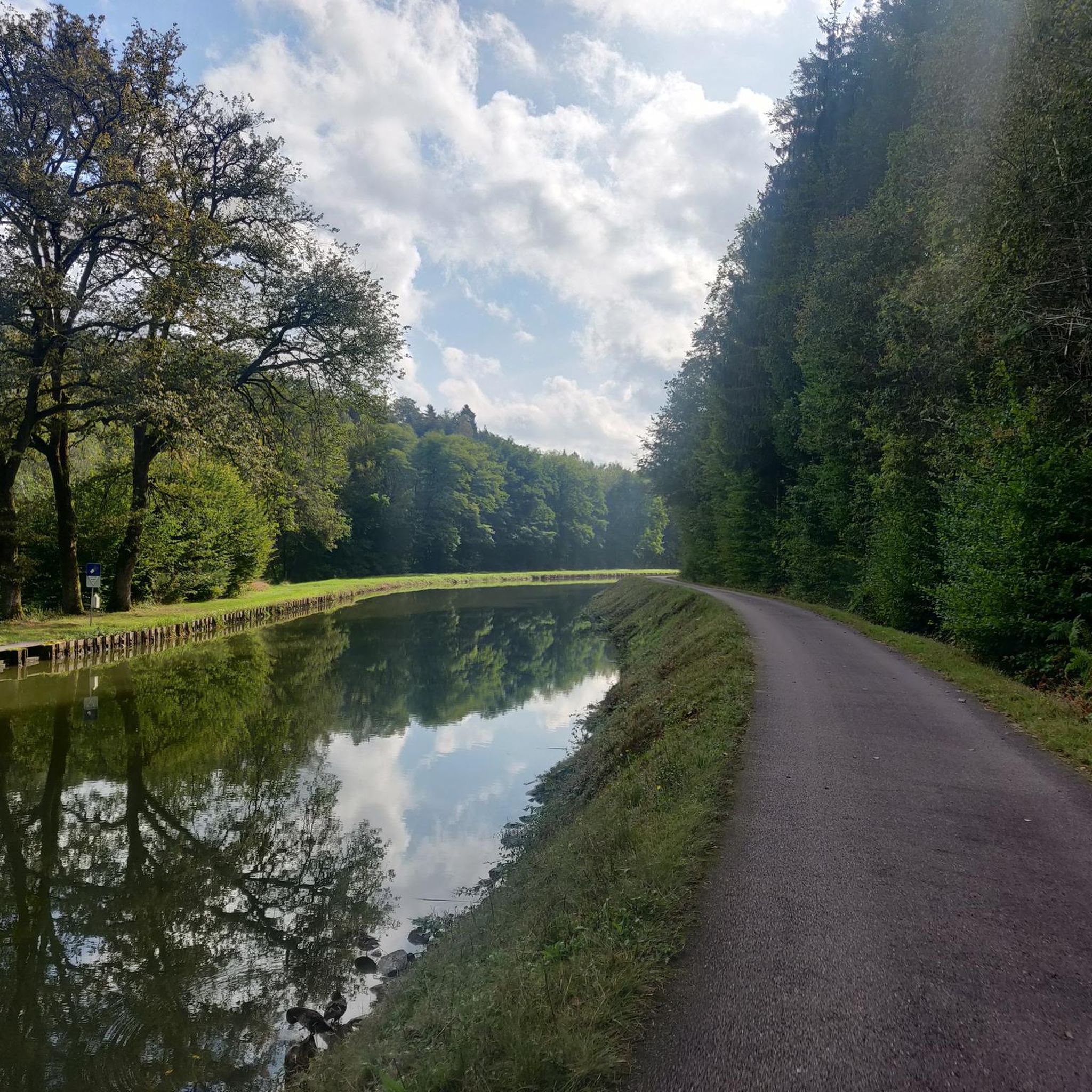
The running trails in Gruey-Lès-Surance are characterized by extensive woodlands, tranquil ponds, and undulating rural terrain. You'll find a mix of shaded forest sections, open fields, and some paths that even follow ancient Roman roads. A unique feature is La Voie Bleue, a car-free path ideal for peaceful runs alongside the canal and Coney river.
Are there any easy running routes suitable for beginners or a relaxed jog?
Yes, while most routes are moderate, there is at least one easy running route available. For a moderate but accessible option, consider the Running loop from Hennezel, which is 6.5 km and winds through woodlands and open fields.
Are there any circular running routes in the Gruey-Lès-Surance area?
Many of the running routes in Gruey-Lès-Surance are circular, allowing you to start and finish at the same point. For example, the Beautiful valley loop from Camping Nature La Clairière du Verbamont is a 12.6 km circular trail exploring varied forest tracks.
What are some scenic spots or natural features I might encounter while running?
Gruey-Lès-Surance is rich in natural beauty. You can expect to run through extensive woodlands, past tranquil ponds like Étang Coné-Fontaine and Étang des Cerisiers, and along the Coney river. The Étang Lallemand loop from Les Voivres is a great option for experiencing forests and ponds.
Are the jogging routes in Gruey-Lès-Surance suitable for families?
Many of the trails, especially the easier and moderate loops through forests and fields, can be suitable for families who enjoy outdoor activities. The car-free nature of La Voie Bleue also makes it a safe and pleasant option for family runs.
Can I bring my dog on the running trails in Gruey-Lès-Surance?
Generally, dogs are welcome on most public trails in the region, especially in forested and rural areas. However, it's always recommended to keep your dog on a leash and be mindful of local regulations, especially near wildlife or agricultural areas. The extensive woodlands provide a great environment for running with your canine companion.
What do other runners enjoy the most about jogging in Gruey-Lès-Surance?
The running routes in Gruey-Lès-Surance are highly rated by the komoot community, with an average score of 4.3 stars. Runners often praise the quiet woodlands, the serene ponds, and the varied terrain that offers both gentle sections and some rewarding climbs and descents.
Are there any historical points of interest along the running routes?
Yes, the region has a blend of natural beauty and historical intrigue. Some paths trace ancient Roman roads, and you might encounter historical sites such as The Royal Factory of Bains-les-Bains or the intriguing Le Cuvant des Fées, which are nearby attractions.
Is there parking available near the running routes?
While specific parking details for every route are not always listed, many trailheads, especially those starting from villages or camping sites like Camping Nature La Clairière du Verbamont, typically offer parking facilities. It's advisable to check the starting point of your chosen route for specific parking information.
What is a good moderate-distance running route to try?
For a moderate-distance run, the Étang Jacquin – Étang Lallemand loop from Bains-les-Bains is an excellent choice. It covers approximately 11.9 km and takes you through scenic areas, including two ponds.
Are there any routes that start from Camping Nature La Clairière du Verbamont?
Yes, there are several routes that start from this location. Besides the popular Beautiful valley loop from Camping Nature La Clairière du Verbamont, you can also find the Running loop from Camping Nature La Clairière du Verbamont, which is a shorter 6.6 km option.
Most popular attractions around Gruey-Lès-Surance

Get inspired with the komoot mobile app


Explore more
Browse the best Running Trails & Routes in other regions.
