The best walks and hikes around La Taillée
3.6
(19)
134
hikers
19
hikes
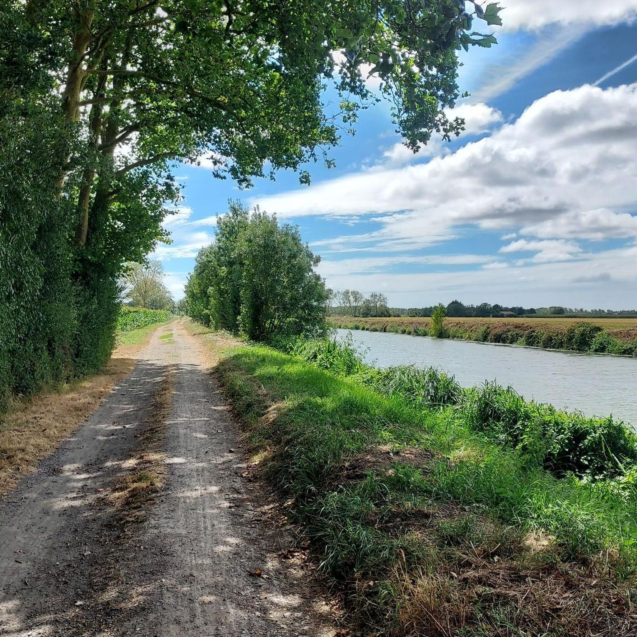
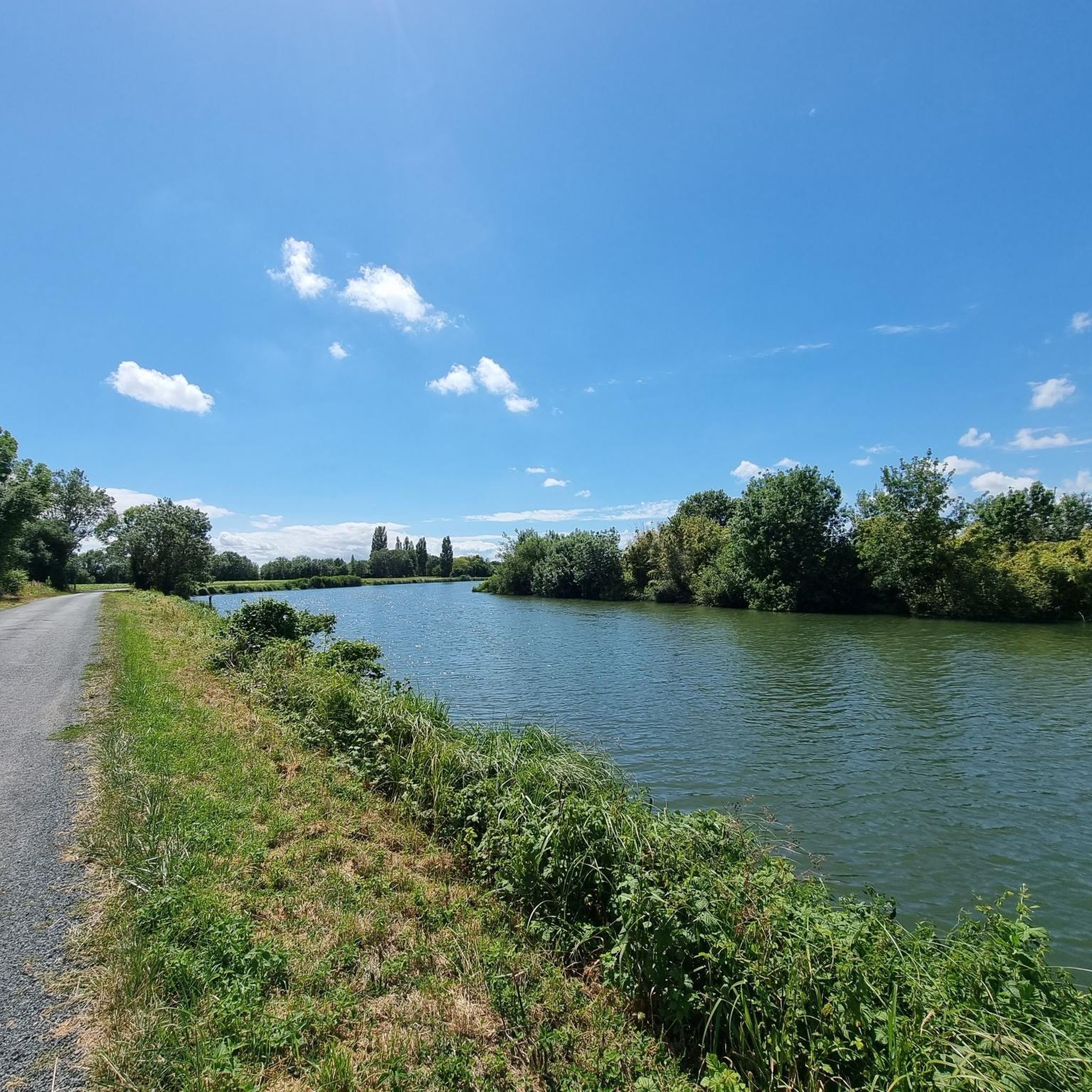
Hiking around La Taillée offers exploration within the Marais Poitevin, a vast marshland characterized by a network of canals and rivers. The region features diverse landscapes, including both wet and dry marshes, providing varied terrain for walking. Elevation changes are generally minimal, making many routes accessible. Notable natural features include the Bois des Laves, a significant woodland area.
Best hiking trails around La Taillée
- The most popular hiking route is Bridge Over the Sèvre River loop from Marais Drapelle,…
Last updated: October 9, 2026
5.0
(3)
17
hikers
Easy hike. Great for any fitness level. Easily-accessible paths. Suitable for all skill levels.
8
hikers
Easy hike. Great for any fitness level. Easily-accessible paths. Suitable for all skill levels.

5.0
(1)
7
hikers
3.49km
00:55
30m
30m
Easy hike. Great for any fitness level. Easily-accessible paths. Suitable for all skill levels.
3.8
(4)
8
hikers
11.0km
02:47
20m
20m
Moderate hike. Good fitness required. Easily-accessible paths. Suitable for all skill levels.
5.0
(1)
2
hikers
4.46km
01:08
10m
10m
Easy hike. Great for any fitness level. Easily-accessible paths. Suitable for all skill levels.
Get access to more routes and recommendations from other explorers.
Already have an account?
Our route recommendations are based on thousands of hikes, rides, and runs completed by other people on komoot.
Start today with a free account
Your next adventure awaits.
Tips from the Community

The Jean Guilloux chain ferry allows you to cross the Sèvre Niortaise River from Saint Jean de Liversay (Charente-Maritime) to Vix (Vendée). It is free to access and is operated manually. The chain ferry can be used independently by pedestrians and cycle tourists, with a maximum of 6 people per crossing. Cyclists' bicycles may be taken on board the ferry. Operating and safety regulations are posted on each bank. This type of boat was once a common means of crossing canals and channels in the Marais Poitevin. Free access is limited to 6 people or a maximum weight of 450 kg. Pets are allowed. Accessibility dates are from April 5 to October 31, from 9 a.m. to 9 p.m. The acquisition of the "Jean Guilloux" chain ferry was made possible thanks in part to the support of the European Union.
0
0


Contemporary bell tower (1988) on the Romanesque-style Notre-Dame des Marais church.
0
0

To cross here, take a bike ride or walk. Grab the chain and pull, this way you will be on the opposite bank.
1
0


Area on private property, route to be deleted
0
0


A charming little port where it is good to stop.
0
0
Frequently Asked Questions
How many hiking trails are available around La Taillée?
La Taillée offers a good selection of hiking routes, with over 15 trails recorded on komoot. These routes explore the unique landscapes of the Marais Poitevin, providing diverse options for outdoor enthusiasts.
What is the typical terrain and elevation like for hiking in La Taillée?
The terrain around La Taillée is generally flat, characterized by the expansive Marais Poitevin. You'll find minimal elevation changes, making most routes accessible for a wide range of abilities. The paths often follow canals, rivers, and marshland, with some sections through woodlands like the Bois des Laves.
Are there any easy hiking trails suitable for beginners or casual walkers?
Yes, La Taillée is ideal for easy walks. Out of the available routes, 10 are classified as easy, perfect for beginners or those looking for a relaxed stroll. An example is the Port of Marans – Canal from Marans to La Rochelle loop from Marans, which is 4.5 miles (7.3 km) long and follows picturesque canal paths.
Can I find circular hiking routes in La Taillée?
Many of the hiking routes in La Taillée are designed as circular loops, allowing you to start and finish at the same point. For instance, the Bridge Over the Sèvre River loop from Marais Drapelle is a popular 3.1-mile (5.1 km) option that offers views of the Sèvre River and surrounding marshland.
Are there family-friendly hiking options in La Taillée?
Absolutely. Given the generally flat terrain and numerous easy routes, La Taillée is very suitable for family walks. The paths along the canals and through the marshlands provide safe and engaging environments for children to explore nature. Many local loop itineraries are designed for easy walking.
Are dogs allowed on the hiking trails around La Taillée?
Generally, dogs are welcome on hiking trails in the La Taillée region, especially if kept on a leash. The open marshlands and woodland paths provide ample space for walks with your canine companion. Always ensure to respect local signage and clean up after your pet.
What natural features or landmarks can I expect to see along the trails?
Hiking in La Taillée offers a chance to explore the unique ecosystems of the Marais Poitevin, often called 'Green Venice.' You'll encounter a vast network of canals and rivers, diverse marshland environments (both wet and dry), and significant woodlands like the Bois des Laves, known for its 'holed tadpole ash trees.' You might also pass by the Port of Marans or the Canal de Pomère.
What do other hikers enjoy most about hiking in La Taillée?
The hiking experience in La Taillée is highly rated by the komoot community, with an average score of 3.5 stars. Hikers often praise the tranquil atmosphere, the unique marshland scenery, and the accessibility of the trails, which are suitable for various fitness levels. The extensive network of canals and the natural beauty of the Marais Poitevin are frequently highlighted.
Are there any longer or more challenging routes for experienced hikers?
While most routes are easy, there are moderate options for those seeking a bit more distance. For example, the Hiking loop from L'Île-d'Elle is a moderate 6.9-mile (11.0 km) trail that leads through open landscapes and marsh areas, typically taking around 2 hours 47 minutes to complete.
Where can I find parking for trailheads in La Taillée?
Parking is generally available near popular trailheads and villages throughout the La Taillée region. Many local loop itineraries start from village centers or designated parking areas. For specific routes, it's advisable to check the route details on komoot, as they often include information about starting points and parking facilities.
Are there places to stop for refreshments or a picnic along the trails?
Yes, you can find opportunities for refreshments. The region offers charming villages where you might find local cafes. Additionally, there are designated spots like the Picnic Area at V43 Vélo Francette and EV1 Vélodyssée Junction, perfect for a break. Some highlights, like Elovenergy - Cafe Creatie, are specifically noted as sweet stops.
What is the best time of year to go hiking in La Taillée?
The spring and autumn months are generally ideal for hiking in La Taillée. During these seasons, the weather is pleasant, and the natural beauty of the Marais Poitevin is particularly vibrant, with lush greenery in spring and rich colors in autumn. Summer can also be enjoyable, but it's best to start early to avoid the midday heat.
Most popular attractions around La Taillée

Get inspired with the komoot mobile app


Explore more
Browse the best Hikes in other regions.
