The best walks and hikes around Fontaine-Bonneleau
4.6
(33)
116
hikers
22
hikes
Hiking around Fontaine-Bonneleau offers varied landscapes within the Selle valley, characterized by gentle inclines and altitudes ranging from 72 to 175 meters. The region features extensive woodlands, including Bois de Moimont and Grande Forêt, providing diverse terrain for exploration. A communal pond and natural mineral water springs add to the area's natural heritage. The Coulée Verte, a greenway built on an old railway line, also provides accessible routes through the landscape.
Best hiking trails around Fontaine-Bonneleau
- The most popular hiking…
Last updated: July 6, 2026
5.0
(2)
11
hikers
15.3km
04:02
130m
130m
Moderate hike. Good fitness required. Easily-accessible paths. Suitable for all skill levels.
8
hikers
9.45km
02:28
70m
70m
Moderate hike. Good fitness required. Easily-accessible paths. Suitable for all skill levels.

Sign up for free
4.5
(2)
10
hikers
21.0km
05:33
190m
190m
Hard hike. Very good fitness required. Easily-accessible paths. Suitable for all skill levels.
4.7
(3)
8
hikers
11.4km
02:58
70m
70m
Moderate hike. Good fitness required. Easily-accessible paths. Suitable for all skill levels.
4.5
(4)
7
hikers
8.16km
02:10
80m
80m
Moderate hike. Good fitness required. Easily-accessible paths. Suitable for all skill levels.
Get access to more routes and recommendations from other explorers.
Sign up for free
Already have an account?
Our route recommendations are based on thousands of hikes, rides, and runs completed by other people on komoot.
Start today with a free account
Your next adventure awaits.
Login or Signup

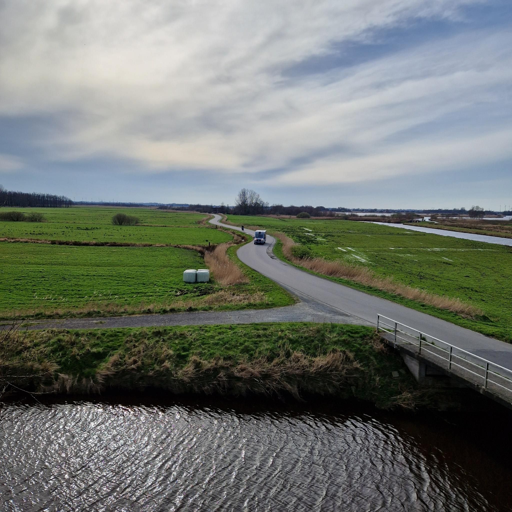

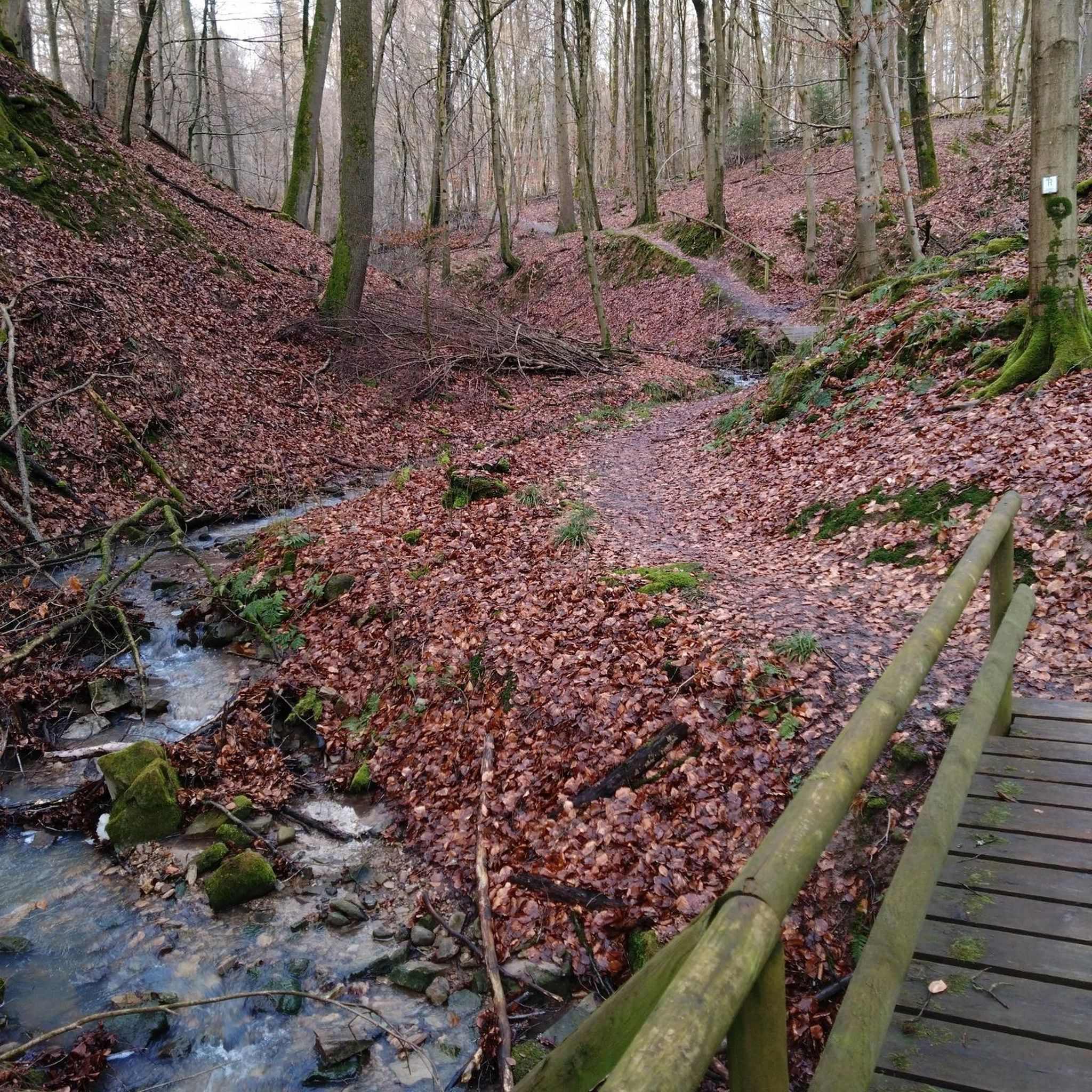

Tips from the Community

For the technicians, in the middle of nature around large fish bees
0
0
Frequently Asked Questions
How many hiking trails are available around Fontaine-Bonneleau?
There are over 20 hiking routes documented on komoot for the Fontaine-Bonneleau area, offering a variety of experiences for different skill levels.
What types of trails can I expect in Fontaine-Bonneleau?
The trails in Fontaine-Bonneleau primarily feature the picturesque Selle valley and extensive woodlands like the Bois de Moimont and Grande Forêt. Many routes utilize the Former Coulée Verte railroad line, a greenway ideal for walking, cycling, and horse riding, which also includes a botanical discovery trail.
Are there easy hiking options for beginners or families?
Yes, Fontaine-Bonneleau offers 5 easy hiking routes. These trails are generally shorter and have less elevation gain, making them suitable for families or those looking for a relaxed walk. The Coulée Verte greenway is particularly well-suited for easy, accessible strolls.
Are there any challenging hikes in the area?
For those seeking a challenge, there are 2 difficult routes around Fontaine-Bonneleau. One notable option is the Abandoned Railway Bridge loop from Conty, which is 21.0 km long and leads through varied terrain, typically taking over 5 hours to complete.
What interesting landmarks or attractions can I see while hiking?
Hikers can discover several points of interest. You might encounter the Old Railway Path and Brick Archway, remnants of old mills, or the historic Église paroissiale Saint-Cyr-et-Sainte-Julitte. The Château de Crèvecœur is also nearby, offering architectural interest.
Are there any circular hiking routes?
Yes, many routes in Fontaine-Bonneleau are circular. For example, the Bois de Conty loop from Conty is a moderate 8.2 km trail that takes you through the woodlands and returns to your starting point.
What do other hikers enjoy most about hiking in Fontaine-Bonneleau?
The area is highly rated by the komoot community, with an average score of 4.6 stars from over 27 reviews. Hikers often praise the tranquil atmosphere of the woodlands, the scenic views of the Vallée de la Selle, and the well-maintained paths of the Coulée Verte.
Can I bring my dog on the hiking trails?
Many trails in Fontaine-Bonneleau, especially those through the extensive woods and along the Coulée Verte, are suitable for dogs. It's always recommended to keep your dog on a leash, especially in areas with wildlife or near agricultural land.
Are there any trails that feature water elements like ponds or springs?
Yes, the region is known for its natural mineral water springs, which gave "Fontaine" its name, and a communal pond near Bonneleau. While specific routes directly featuring these aren't always highlighted, the general landscape of the Selle valley often includes small streams and water features.
What is the typical length of hikes in Fontaine-Bonneleau?
Hikes vary in length, from shorter, easy walks of a few kilometers to longer, more challenging routes. For instance, the Abandoned Railway Bridge loop from Tilloy-lès-Conty is a moderate 9.4 km path, while the Saint-Vaast Church loop from Conty covers 11.4 km.
Is there public transport access to the trailheads?
While Fontaine-Bonneleau is a rural commune, public transport options might be limited directly to all trailheads. It's advisable to check local bus schedules if you plan to rely on public transport. Many routes are accessible by car, with parking often available in nearby villages or designated areas.
Where can I find parking for hiking trails?
Parking is typically available in the villages where trails begin, such as Conty or Tilloy-lès-Conty. For routes along the Coulée Verte, look for parking areas near access points to the greenway.
Most popular routes around Fontaine-Bonneleau
Most popular attractions around Fontaine-Bonneleau

Get inspired with the komoot mobile app


Explore more
Browse the best Hikes in other regions.
