The best walks and hikes around Voulpaix
4.4
(36)
167
hikers
47
hikes
Hiking around Voulpaix offers exploration of a rural commune in the Aisne department of Hauts-de-France. The area is characterized by a mix of agricultural land, including fields of wheat, beets, and corn, interspersed with bocage landscapes. Voulpaix is built on two hills, separated by the Beaurepaire river valley, creating varied elevations between 114 meters and 187 meters. This topography provides diverse scenery for hikers, from gentle slopes to undulating terrain.
Best hiking trails around Voulpaix
- The most popular hiking route…
Last updated: July 6, 2026
4.0
(4)
6
hikers
14.7km
03:58
170m
170m
Moderate hike. Good fitness required. Mostly accessible paths. Sure-footedness required.
11
hikers
11.2km
02:58
100m
100m
Moderate hike. Good fitness required. Easily-accessible paths. Suitable for all skill levels.

Sign up for free
4
hikers
7.26km
01:53
40m
40m
Easy hike. Great for any fitness level. Easily-accessible paths. Suitable for all skill levels.
4.0
(1)
5
hikers
8.25km
02:09
60m
60m
Moderate hike. Good fitness required. Easily-accessible paths. Suitable for all skill levels.
4
hikers
11.8km
03:06
100m
100m
Moderate hike. Good fitness required. Easily-accessible paths. Suitable for all skill levels.
Get access to more routes and recommendations from other explorers.
Sign up for free
Already have an account?
Our route recommendations are based on thousands of hikes, rides, and runs completed by other people on komoot.
Start today with a free account
Your next adventure awaits.
Login or Signup



Tips from the Community


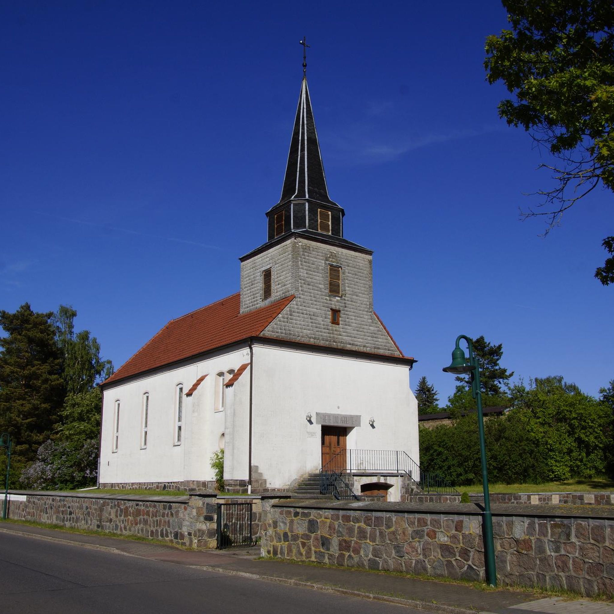
Fantastic fortified church that has survived several wars.
1
0

The Ax Vert de la Thiérarche is a former railway line that has been converted into a cycling and walking path. The trail of almost 40 kilometers runs from Guise to Hirson, via Autreppes, and offers a pleasant and peaceful environment for walking, cycling and horse riding. The path runs along the banks of the Oise River and offers beautiful views of the natural and cultural heritage of the Thiérache.
2
0
one of the beautiful old fortified churches in this region
2
0

Magnificent passage through the woods, and a pretty little village on the route.
2
0

Small pond on the old railway line. But scenic great place 😊
2
0

Very beautiful but quite degraded.
0
0
Frequently Asked Questions
How many hiking trails are available around Voulpaix?
There are over 40 hiking trails around Voulpaix, offering a variety of experiences through its rural landscapes. These routes traverse rolling hills, the Beaurepaire river valley, and bocage scenery.
What kind of landscapes can I expect to see while hiking in Voulpaix?
Voulpaix's landscape is characterized by a mix of agricultural land, including fields of wheat, beets, and corn, interspersed with bocage – traditional small fields and woodlands. You'll encounter rolling hills and the valley of the Beaurepaire river, providing diverse scenery and varied elevations.
Are there easy hiking trails suitable for beginners or casual walkers in Voulpaix?
Yes, Voulpaix offers a good selection of easier routes. Approximately half of the trails, around 20, are rated as easy. These paths are generally less strenuous, allowing you to enjoy the tranquil countryside at a relaxed pace.
What do other hikers enjoy most about the trails in Voulpaix?
The trails in Voulpaix are highly rated by the komoot community, with an average score of 4.5 stars from over 30 reviews. Hikers often praise the tranquil rural setting, the varied terrain of rolling hills and bocage, and the opportunity to immerse themselves in the natural environment of the Thiérache region.
Are there any circular hiking routes in Voulpaix?
Many of the routes around Voulpaix are designed as loops, allowing you to start and end your hike in the same location. An example is the Saint-Hilaire Church – Old railroad loop from Erloy, which offers a moderate 7.3-mile (11.7 km) journey through local points of interest.
What are some interesting landmarks or attractions I can see on a hike near Voulpaix?
While hiking near Voulpaix, you might encounter interesting local features. For instance, the Saint-Hilaire Church – Old railroad loop from Erloy passes by an Old railroad. Other nearby points of interest include the Lavoir de Malzy and the Axe Vert de la Thiérache.
Are the hiking trails in Voulpaix suitable for families with children?
The varied terrain of Voulpaix, with its gentle slopes and moderate ascents, offers options for families. Many of the 20+ easy routes are suitable for children, allowing families to enjoy the rural fields and woodlands together. Consider shorter, less challenging loops like the Picnic Table loop from Marly-Gomont, which is 5.1 miles (8.3 km) long.
Is there parking available at the trailheads in Voulpaix?
While specific parking details for every trailhead are not always listed, Voulpaix is a rural commune, and parking is generally available in or near the starting points of many routes, especially in villages like Erloy or Marly-Gomont, which serve as common access points for local trails.
What is the best time of year to go hiking in Voulpaix?
The Hauts-de-France region, including Voulpaix, offers pleasant hiking conditions during spring, summer, and early autumn. These seasons provide comfortable temperatures and vibrant natural scenery, from blooming fields to lush woodlands. Winter hiking is also possible, though conditions may vary.
Are dogs allowed on the hiking trails around Voulpaix?
Generally, dogs are welcome on hiking trails in rural areas like Voulpaix, especially if kept on a leash. It's always advisable to check local signage for any specific restrictions, particularly in agricultural areas or nature reserves, to ensure a pleasant experience for everyone.
How long do hikes around Voulpaix typically take?
Hike durations vary depending on the route and your pace. For example, the Forêt du Régnaval loop from Erloy, a moderate 9.1-mile (14.7 km) trail, typically takes around 4 hours. Shorter routes, like the Picnic Table loop from Marly-Gomont (5.1 miles / 8.3 km), can be completed in about 2 hours.
Can I reach Voulpaix hiking trails using public transport?
Voulpaix is a rural commune, and direct public transport options to specific trailheads might be limited. It's part of the Aisne department in the Hauts-de-France region, which has a broader transport network. For specific routes, it's recommended to check regional bus services or consider driving to access the starting points.
Most popular attractions around Voulpaix

Get inspired with the komoot mobile app


Explore more
Browse the best Hikes in other regions.
