The best mountain hikes around Les Avanchers-Valmorel
4.6
(6)
24
hikers
5
hikes
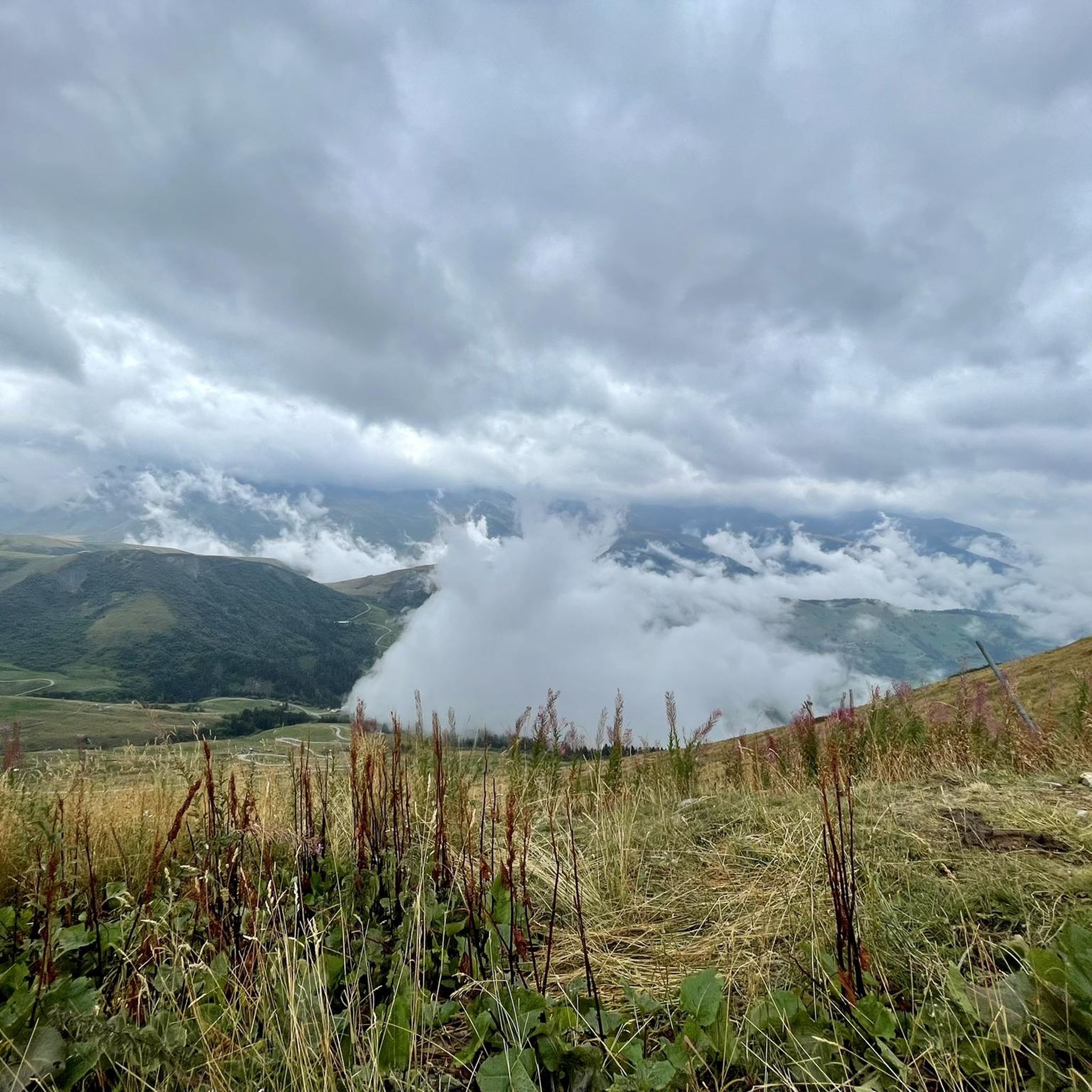
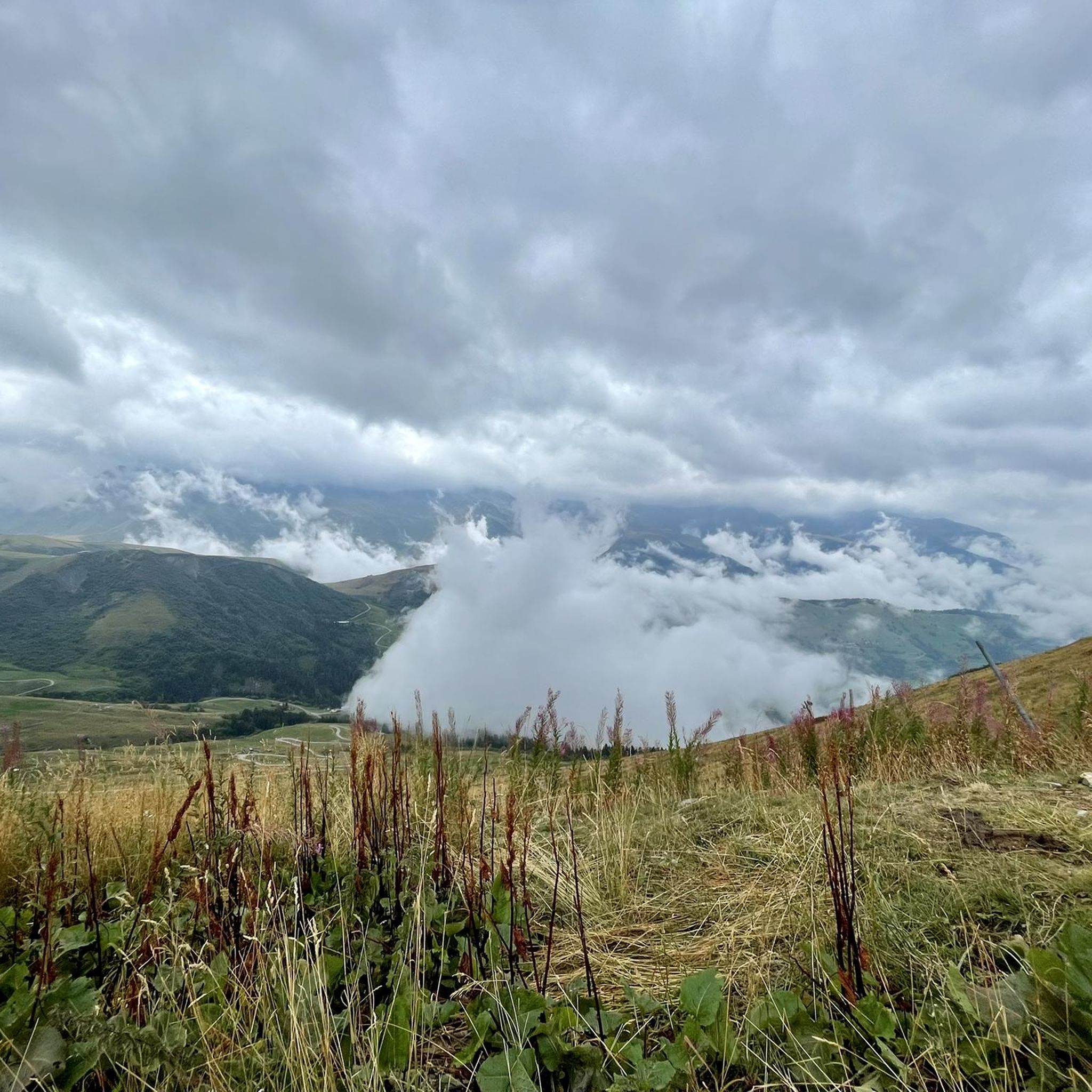
Mountaineering routes around Les Avanchers-Valmorel are situated in the Tarentaise Valley, within the Savoie department of the Auvergne-Rhône-Alpes region. The area is characterized by the majestic Lauzière mountain range, a Natura 2000 classified site, featuring rocky peaks, alpine meadows, and forests. The Morel valley, with its torrents and waterfalls, contributes to a diverse landscape suitable for various mountaineering challenges. Notable peaks like Crève-Tête and Mont Bellacha offer significant elevation gains and expansive views.
Best mountaineering routes around Les Avanchers-Valmorel
- The…
Last updated: October 9, 2026
5
hikers
15.5km
06:44
1,230m
1,220m
Hard mountaineering route. Very good fitness required. Sure-footedness, sturdy shoes and alpine experience required.
5.0
(1)
8
hikers
14.4km
06:23
1,180m
1,180m
Hard mountaineering route. Very good fitness required. Mostly accessible paths. Sure-footedness required.

4.3
(3)
4
hikers
10.8km
03:58
620m
620m
Moderate mountaineering route. Good fitness required. Mostly accessible paths. Sure-footedness required.
4.0
(1)
2
hikers
9.78km
03:33
530m
530m
Moderate mountaineering route. Good fitness required. Mostly accessible paths. Sure-footedness required.
5.0
(1)
3
hikers
Hard mountaineering route. Very good fitness required. Mostly accessible paths. Sure-footedness required.
Our route recommendations are based on thousands of hikes, rides, and runs completed by other people on komoot.
Start today with a free account
Your next adventure awaits.
Popular around Les Avanchers-Valmorel
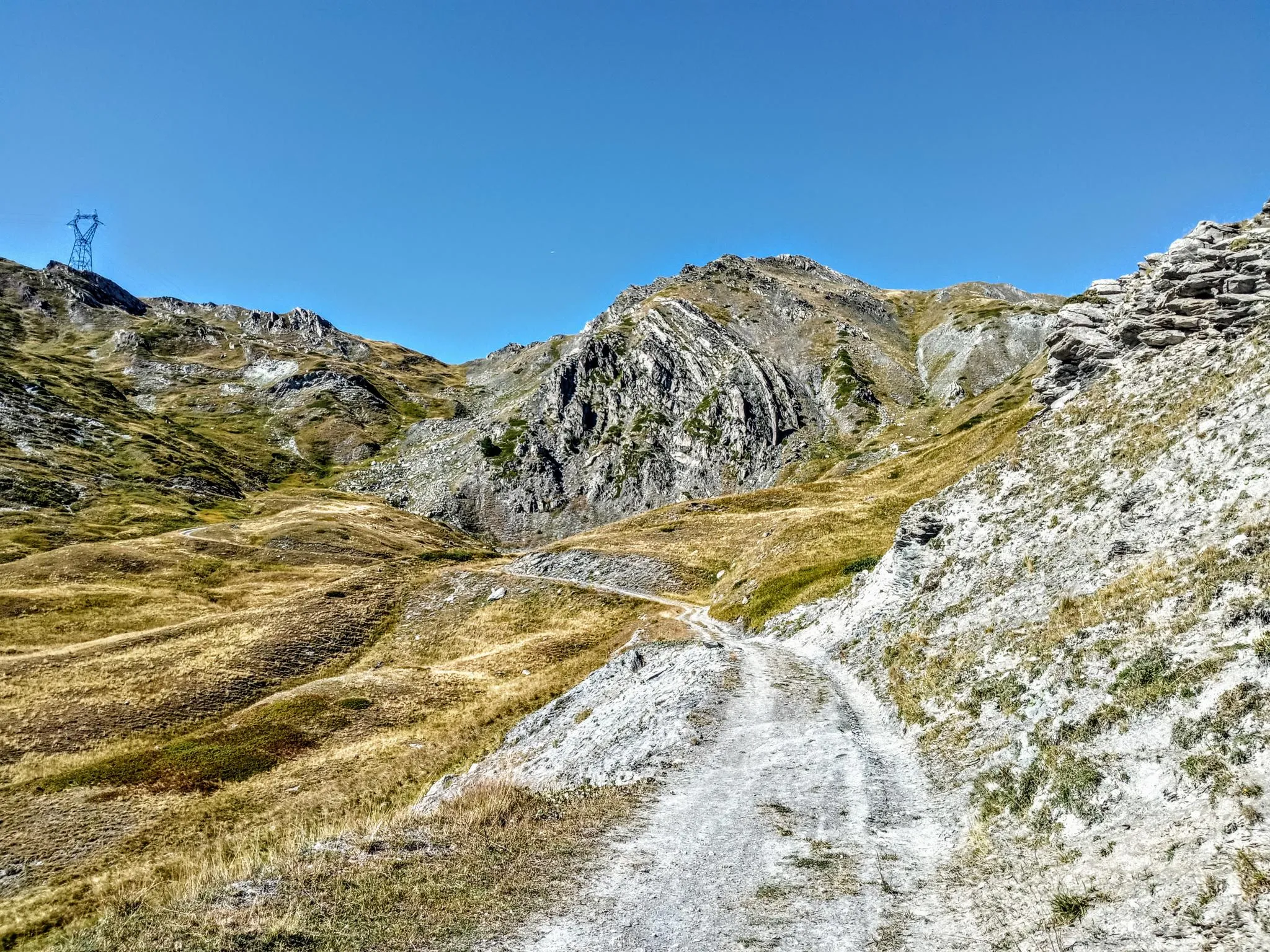
Between valleys and peaks – Ultra Gravel Tour des Alpes
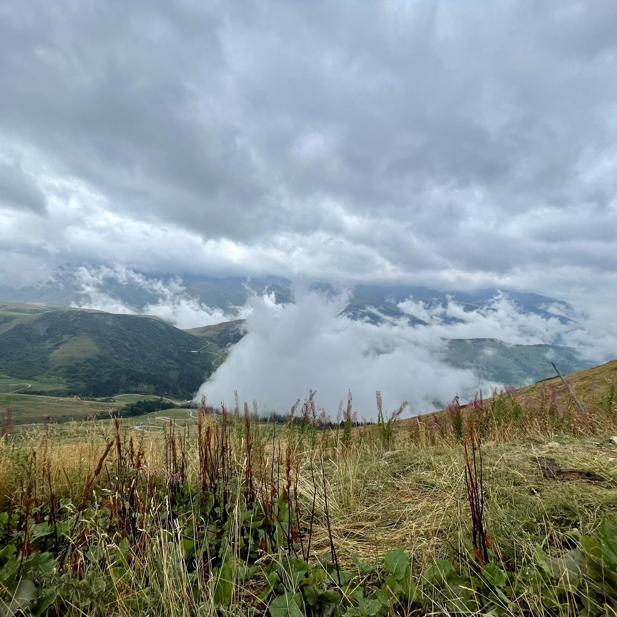
Hiking around Les Avanchers-Valmorel
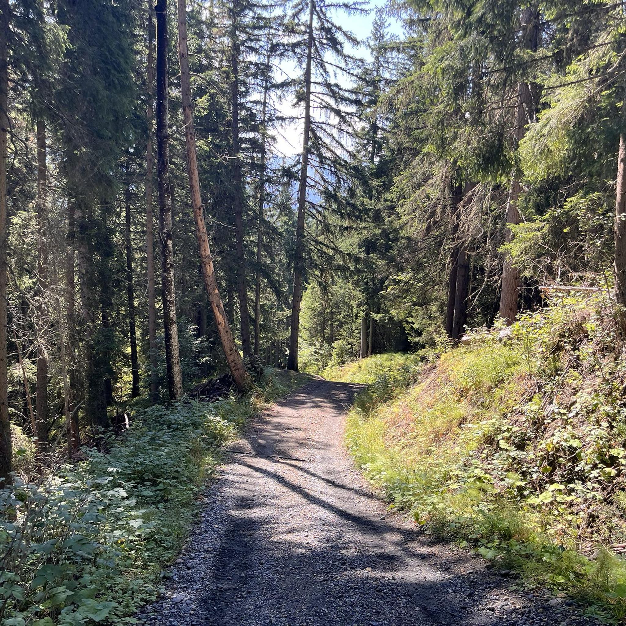
Running Trails around Les Avanchers-Valmorel
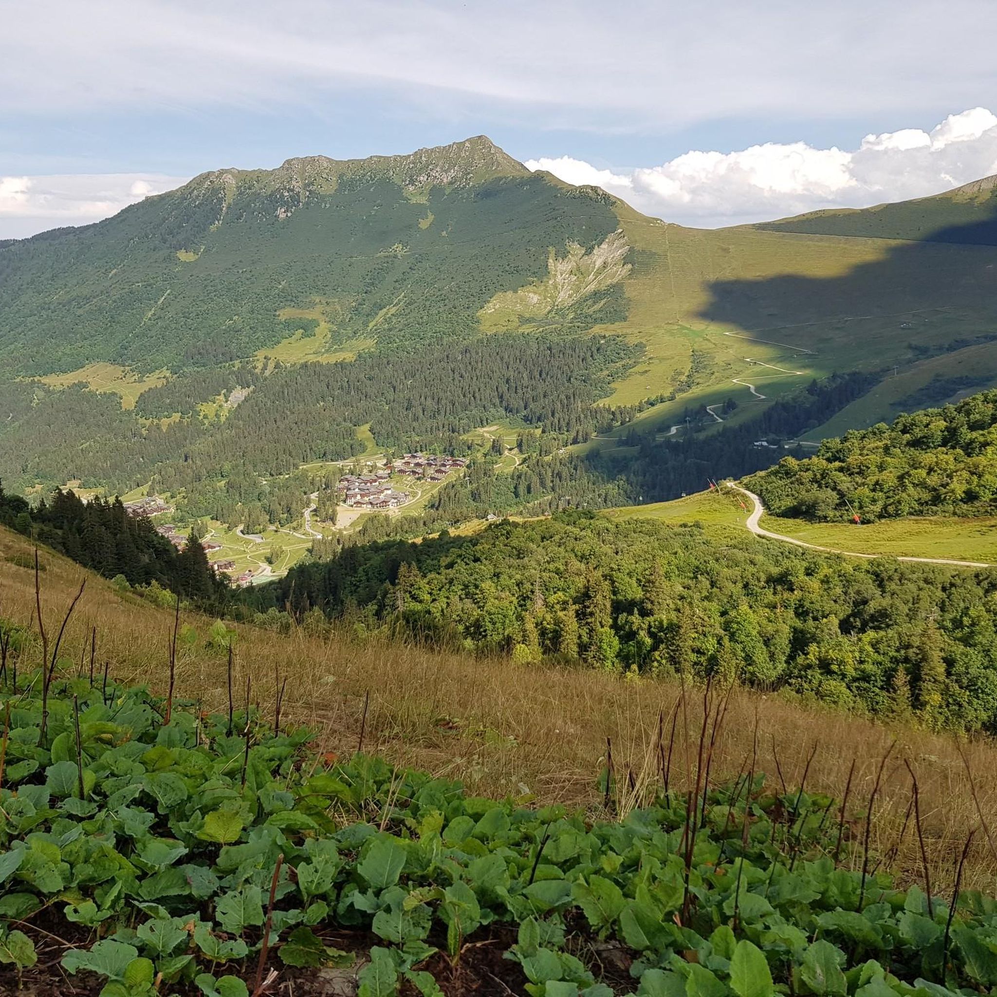
MTB Trails around Les Avanchers-Valmorel
Road Cycling Routes around Les Avanchers-Valmorel
Cycling around Les Avanchers-Valmorel

Gravel biking around Les Avanchers-Valmorel
Other adventures around Les Avanchers-Valmorel

Tips from the Community

Cross-country ski trail in winter, in summer this place turns into easy forest trails for safe bike rides. Mainly in the shade, pleasant in summer during heatwaves ;)
0
0

Very charming lake that you will like no matter the weather 👀👍🏾
0
0

Incredible views of the mountains and the lake from the ridge just below the top of the Cheval Noir.
0
0
At 2,832 meters, this summit, still little known, offers a 360° panorama at the top. Incredible views.
0
0
At 2,139 meters, this lake is located near a rocky outcrop. It turns blue-black after the avalanches melt.
0
0
A small lake at 2,137 meters. The color of the water is amazing!
0
0
The Grand Arc is located at 2,484 meters. From here there are splendid views of Mont Blanc, Vanoise and Bauges.
0
0

Frequently Asked Questions
How many mountaineering routes are available in Les Avanchers-Valmorel?
There are 6 dedicated mountaineering routes around Les Avanchers-Valmorel featured in this guide. These routes offer a range of experiences, from moderate to difficult, exploring the diverse landscapes of the Tarentaise Valley.
What kind of terrain can I expect on mountaineering routes in Les Avanchers-Valmorel?
Mountaineering routes in Les Avanchers-Valmorel traverse a varied landscape, including the majestic Lauzière mountain range with its rocky peaks, expansive alpine meadows, and dense forests. You'll also encounter torrents and waterfalls, characteristic of the Morel valley, providing a dynamic and challenging environment.
Are there options for less experienced mountaineers in Les Avanchers-Valmorel?
Yes, there are moderate options available. For example, the Roc de la Lune – Gege loop from Béranger is a moderate 6.1-mile (9.8 km) trail that takes you through varied terrain of forests and meadows, offering a less strenuous but still rewarding experience.
What are some of the natural highlights or viewpoints I can discover while mountaineering in the area?
The region is rich in natural beauty. You can find stunning viewpoints like the View of the Cascade du Morel, or serene alpine lakes such as Lac Blanc. Many routes also lead to summits like Longecha Summit, offering panoramic views of the surrounding mountains.
Are there any circular mountaineering routes in Les Avanchers-Valmorel?
Yes, several routes are designed as loops, allowing you to start and end at the same point. A challenging example is the Lac Noir – Le Grand Arc loop from Tioulévé, a difficult 9.7-mile (15.7 km) trail with significant elevation gain. Another option is the White Lake – Blue Lake loop from Saint-François-Longchamp 1650, which features high-altitude lakes.
What is the best time of year for mountaineering in Les Avanchers-Valmorel?
The summer months are generally ideal for mountaineering in Les Avanchers-Valmorel, offering favorable weather conditions and accessible trails. The region's alpine meadows and rocky peaks are best enjoyed when free of snow, typically from late spring through early autumn. Winter transforms the area into a different landscape, suitable for ice climbing or snowshoeing, but requiring specialized gear and expertise.
What are the typical elevation gains on mountaineering routes in this region?
The elevation gains on mountaineering routes in Les Avanchers-Valmorel vary significantly. Moderate routes might involve around 500-600 meters of ascent, while more difficult trails, such as the Petit Dôme Above Lachat – Lachat Hamlet loop from Saint-Martin-de-Belleville, can feature over 900 meters of climbing. The most challenging routes can exceed 1200 meters of elevation gain.
What do other mountaineers enjoy most about the routes in Les Avanchers-Valmorel?
The mountaineering routes in Les Avanchers-Valmorel are highly rated by the komoot community, with an average score of 4.5 stars. Mountaineers often praise the breathtaking panoramas, the challenging yet rewarding ascents, and the diverse natural features like alpine lakes and waterfalls. The well-maintained trails and the sense of immersion in the Lauzière mountain range are frequently highlighted.
Are there any famous mountain passes or cycling routes nearby that mountaineers might find interesting?
Yes, the iconic Col de la Madeleine is located nearby. This mountain pass, at 1993m, is a pilgrimage site for cyclists and offers stunning views, serving as a starting point for various hikes. It connects the Tarentaise and Maurienne valleys and is a significant landmark in the region.
Can I find routes that offer views of Mont Blanc or the Vanoise glaciers?
Yes, from certain vantage points within the Lauzière mountain range, particularly from summits like Crève-Tête, you can indeed enjoy breathtaking panoramas that extend to Mont Blanc and the Vanoise glaciers. These expansive views are a major highlight of mountaineering in the Les Avanchers-Valmorel area.
Are there any moderate circular routes for mountaineering in the area?
Yes, the Col du Galot – View of the Valley loop from Parking Cheval Blanc is a moderate circular mountaineering route. It covers about 6.7 miles (10.8 km) and offers beautiful views of the valley, making it a great option for those seeking a less demanding but still scenic loop.
Most popular routes around Les Avanchers-Valmorel
Most popular attractions around Les Avanchers-Valmorel

Get inspired with the komoot mobile app


Explore more
Browse the best Mountain Hikes & Routes in other regions.
