The best mountain hikes around Montricher-Albanne
5.0
(4)
17
hikers
5
hikes
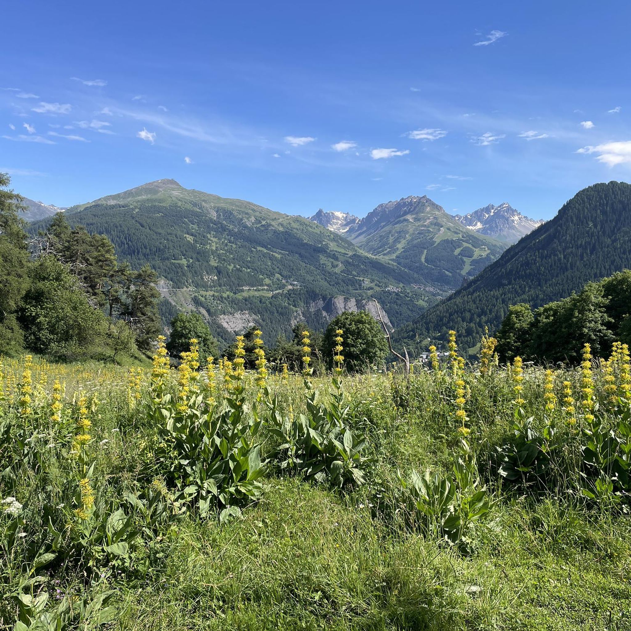
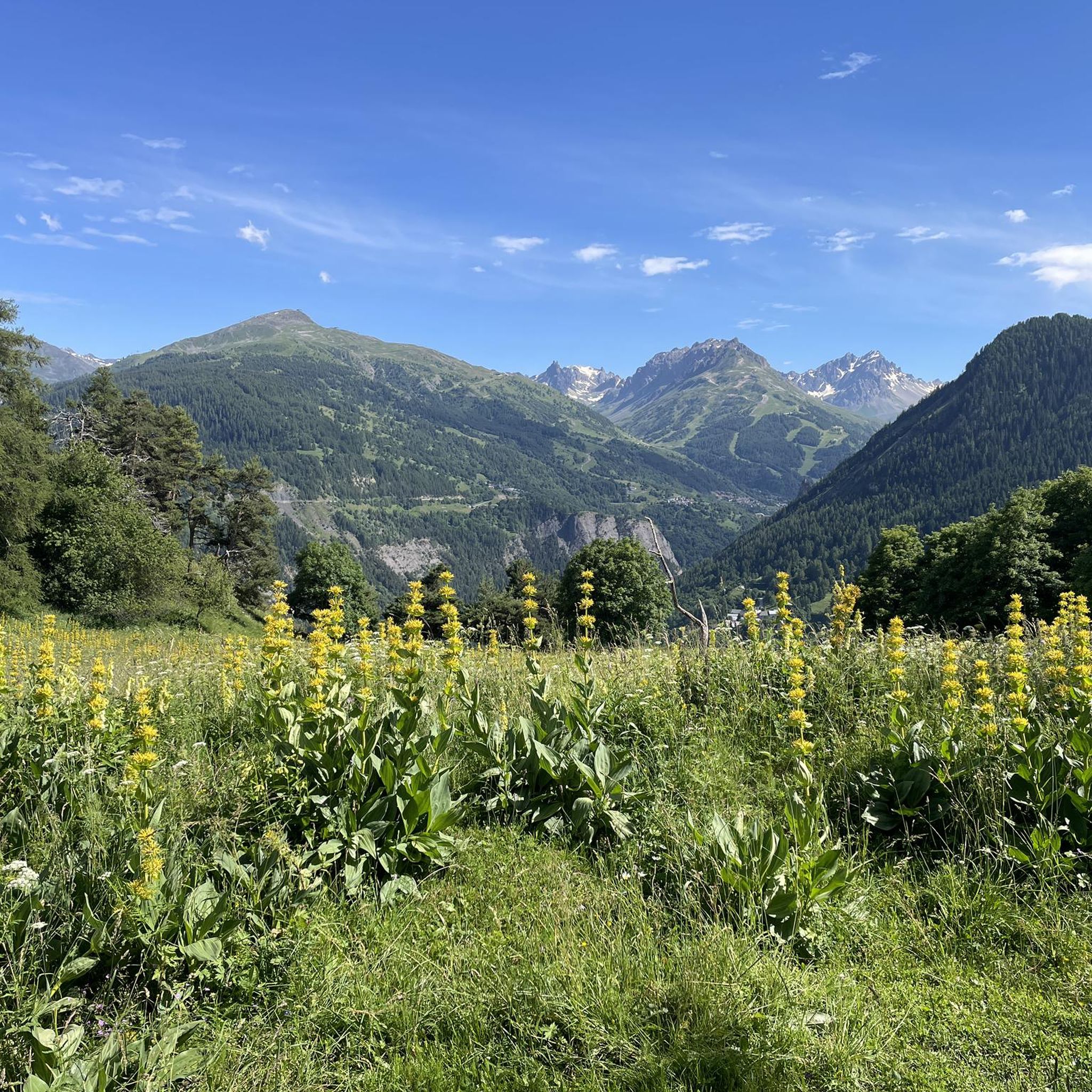
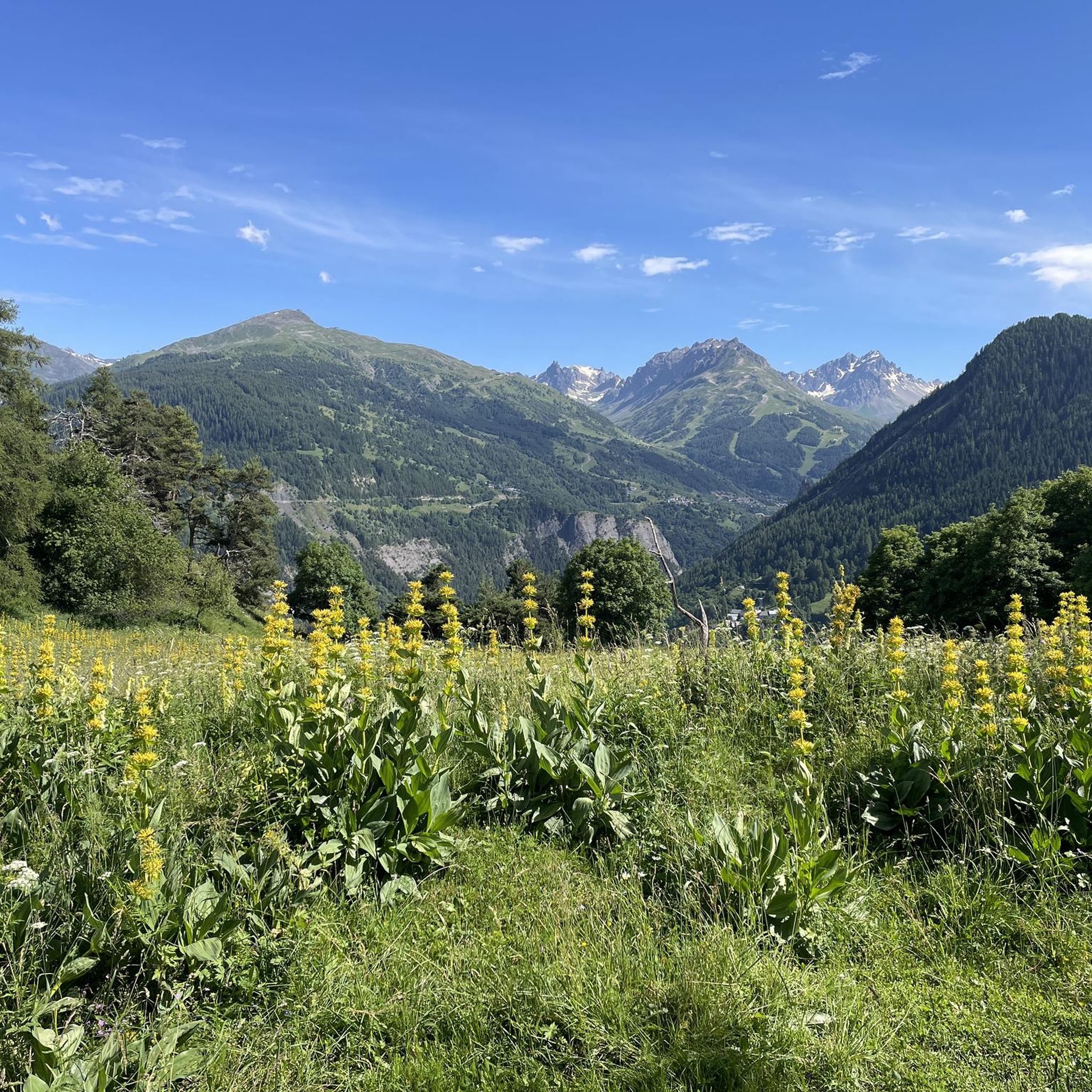
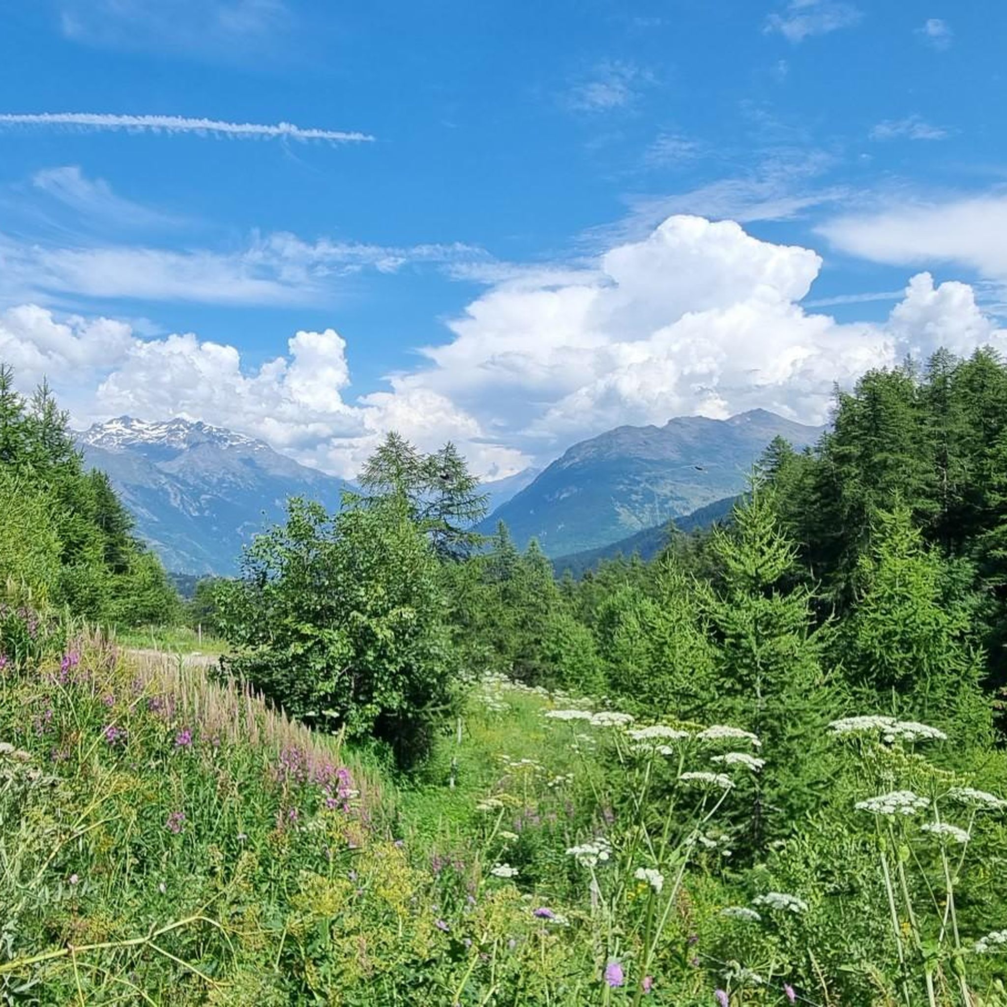
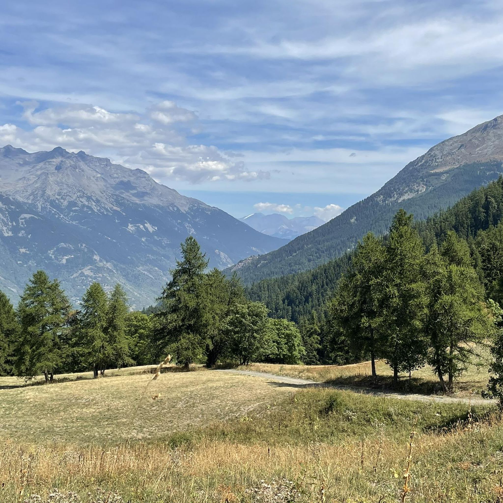
Mountaineering routes around Montricher-Albanne offer a diverse and dramatic natural landscape within the Maurienne valley. The region is characterized by its high-mountain environment, with elevations ranging from 600 to over 2,900 meters, providing extensive terrain for alpine exploration. This area features a mix of alpine meadows, verdant valleys, and snow-capped peaks, making it suitable for various levels of outdoor enthusiasts. Its proximity to the Vanoise National Park further enhances access to challenging mountaineering opportunities.
Best mountaineering routes around Montricher-Albanne
- The…
Last updated: July 6, 2026
5.0
(2)
6
hikers
15.4km
06:57
1,470m
1,470m
Hard mountaineering route. Very good fitness required. Easily-accessible paths. Suitable for all skill levels.
3
hikers
12.9km
05:34
850m
850m
Hard mountaineering route. Very good fitness required. Mostly accessible paths. Sure-footedness required.

Sign up for free
2
hikers
Hard mountaineering route. Very good fitness required. Sure-footedness, sturdy shoes and alpine experience required.
5.0
(1)
2
hikers
8.33km
03:35
610m
610m
Moderate mountaineering route. Good fitness required. Mostly accessible paths. Sure-footedness required.
5.0
(1)
3
hikers
9.57km
02:55
330m
330m
Moderate mountaineering route. Good fitness required. Easily-accessible paths. Suitable for all skill levels.
Our route recommendations are based on thousands of hikes, rides, and runs completed by other people on komoot.
Start today with a free account
Your next adventure awaits.
Login or Signup
Tips from the Community

There must be several along the stream...
0
0

After the Galibier, if that's not enough for you, you can also get the Tèlègraphe.
21
1


The refuge welcomes you to spend the night, have a drink and eat on the terrace. The view is magnificent! If you book in advance and specify your dietary restriction, the managers will do their best to accommodate.
0
0

The Col d’Arves, perched at an altitude of 2,100 metres, offers a breathtaking panorama of the majestic Aiguilles d'Arves and the surrounding Alpine peaks. This Alpine pass, accessible by hiking trails, is a privileged place for mountain lovers in search of tranquility and grandiose landscapes. The alpine meadows and green valleys that stretch as far as the eye can see contrast with the snow-capped peaks.
1
0

Frequently Asked Questions
What kind of terrain can I expect on mountaineering routes around Montricher-Albanne?
Montricher-Albanne offers a diverse high-mountain environment. You'll encounter a mix of alpine meadows, verdant valleys, and challenging snow-capped peaks. Elevations range significantly, from 600 to over 2,900 meters, providing varied terrain suitable for different skill levels.
Are there any circular mountaineering routes in the Montricher-Albanne area?
Yes, several routes offer a circular experience. For a challenging option, consider the Aiguille de l'Épaisseur loop from Bonnenuit, which is a difficult 9.7-mile trail. Another popular choice is the Mountaineering loop from Valmeinier, a difficult 7.9-mile path with expansive vistas.
What are some less crowded mountaineering options around Montricher-Albanne?
While specific crowd levels vary, exploring routes slightly off the main popular trails can offer more solitude. The region's vastness, especially near the Vanoise National Park, provides ample opportunities for quiet exploration. Consider routes that venture into less frequented valleys or higher passes for a more secluded experience.
Are there any mountaineering routes suitable for beginners in Montricher-Albanne?
While many routes are challenging, the area does offer options for those new to mountaineering. The region's diverse terrain includes alpine meadows and less steep ascents. For example, the Col du Télégraphe loop from Col du Télégraphe is a moderate 6-mile route that could be a good introduction to the area's mountain environment.
What is the best time of year for mountaineering in Montricher-Albanne?
The best time for mountaineering in Montricher-Albanne is typically during the warmer months, from late spring to early autumn (June to September), when snowmelt allows access to higher passes and trails are generally clear. However, the high-mountain environment means conditions can change rapidly, so always check local weather forecasts and trail conditions before heading out.
What kind of views and landmarks can I expect to see on these routes?
The routes offer awe-inspiring panoramic views of the Maurienne mountains and surrounding alpine landscapes. You'll encounter notable features like mountain passes and potentially glimpse natural attractions such as the Col du Télégraphe or the Col d'Arves. The region is also home to scenic lakes like Lac du Lou and Lac Vert, which add to the natural beauty.
Are there any family-friendly mountaineering options in Montricher-Albanne?
While many mountaineering routes are demanding, some moderate trails can be suitable for families with older children who are accustomed to hiking. The region's alpine meadows and less strenuous sections offer opportunities for family exploration. Always check the difficulty and elevation gain of a route, such as the Mont Charvin – Col d'Arves loop from Saint-Jean-d'Arves, a moderate 5.2-mile trail, to ensure it matches your family's capabilities.
What do other mountaineers enjoy most about the routes in Montricher-Albanne?
The mountaineering routes in Montricher-Albanne are highly rated by the komoot community, with an average score of 5.0 stars. Reviewers often praise the dramatic natural landscape, the challenging ascents, and the rewarding panoramic views of the surrounding high-mountain environment.
Is public transport available to access mountaineering trails in Montricher-Albanne?
Montricher-Albanne is nestled in a high-mountain commune. While public transport options might be limited directly to all trailheads, the Les Karellis ski resort, connected to Montricher-Albanne, provides some infrastructure and access to higher elevations. For specific routes, it's advisable to check local bus schedules or consider car access to reach starting points.
Are there any routes that lead to high-alpine passes?
Absolutely. The region is rich in mountain passes. For a significant high-alpine experience, consider the Mont Thabor loop from Communauté de communes Maurienne-Galibier. This 14.3-mile trail leads through rugged peaks and high-alpine passes, offering a challenging and rewarding journey.
Can I find routes with significant elevation gain for a challenging workout?
Yes, Montricher-Albanne is ideal for challenging ascents. Many routes feature substantial elevation gain. For instance, the Aiguille de l'Épaisseur loop from Bonnenuit involves over 1,400 meters of elevation gain, providing a strenuous and rewarding mountaineering experience.
Most popular routes around Montricher-Albanne
Most popular attractions around Montricher-Albanne

Get inspired with the komoot mobile app


Explore more
Browse the best Mountain Hikes & Routes in other regions.
