The best mountain hikes around Lullin
5.0
(3)
15
hikers
5
hikes
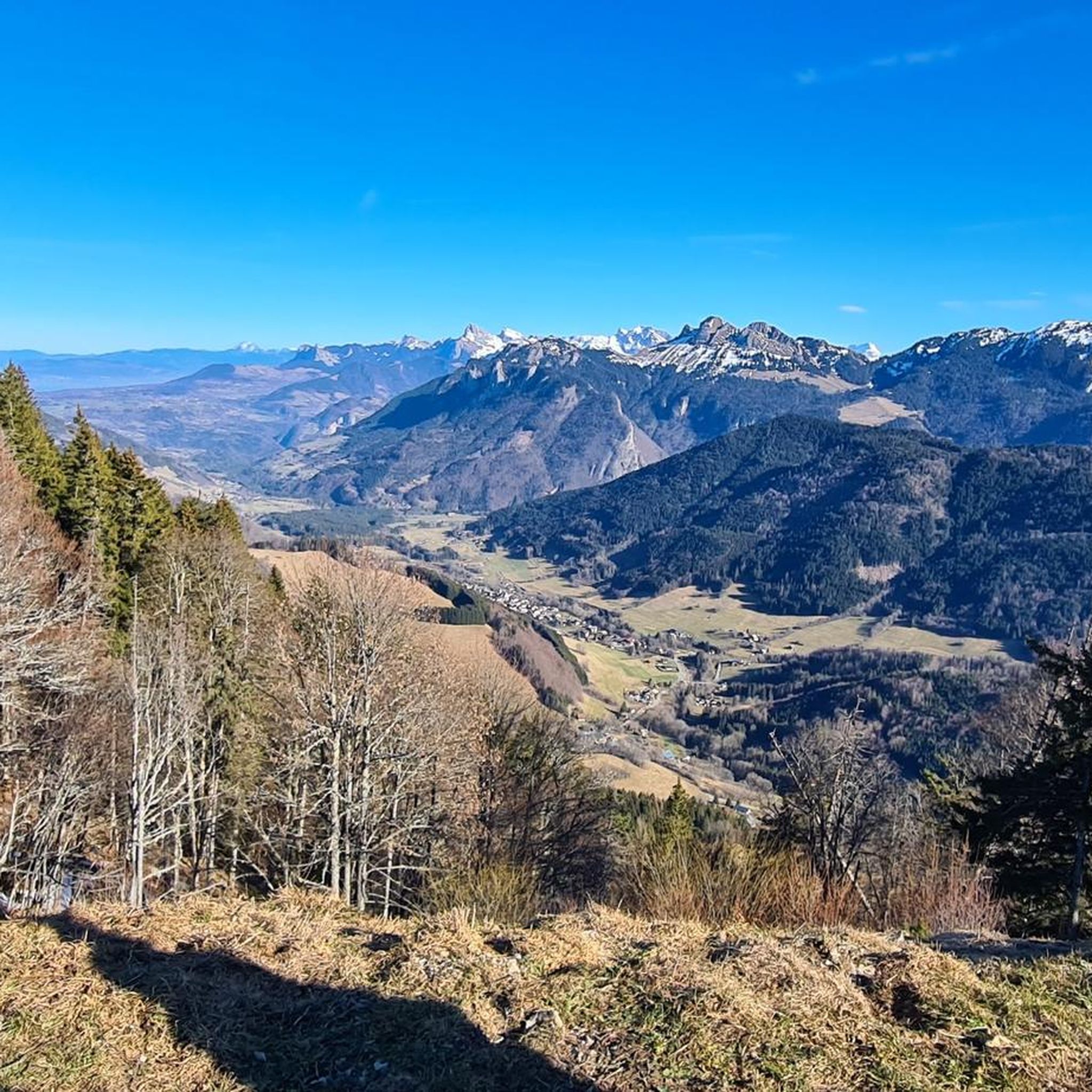
Mountaineering around Lullin, a commune in the Haute-Savoie department of France, offers access to diverse mountainous landscapes. The region is characterized by prominent peaks like Mont Forchat, challenging mountain passes such as Col de Cou and Col de Jambaz, and natural features including the Cascade de la Diomaz. These areas provide varied terrain, from alpine pastures and spruce forests to more rugged mountain environments, suitable for exploration.
Best mountaineering routes around Lullin
- The most popular mountaineering route is Pointe d'Ireuse…
Last updated: July 6, 2026
5.0
(2)
5
hikers
8.33km
03:45
560m
560m
Moderate mountaineering route. Good fitness required. Mostly accessible paths. Sure-footedness required.
5
hikers
11.9km
04:57
930m
930m
Hard mountaineering route. Very good fitness required. Sure-footedness, sturdy shoes and alpine experience required.

Sign up for free
5.0
(1)
2
hikers
9.41km
04:29
740m
740m
Moderate mountaineering route. Good fitness required. Mostly accessible paths. Sure-footedness required.
2
hikers
6.60km
02:10
300m
300m
Hard mountaineering route. Good fitness required. Sure-footedness, sturdy shoes and alpine experience required.
1
hikers
8.25km
02:52
390m
390m
Hard mountaineering route. Good fitness required. Sure-footedness, sturdy shoes and alpine experience required.
Our route recommendations are based on thousands of hikes, rides, and runs completed by other people on komoot.
Start today with a free account
Your next adventure awaits.
Login or Signup
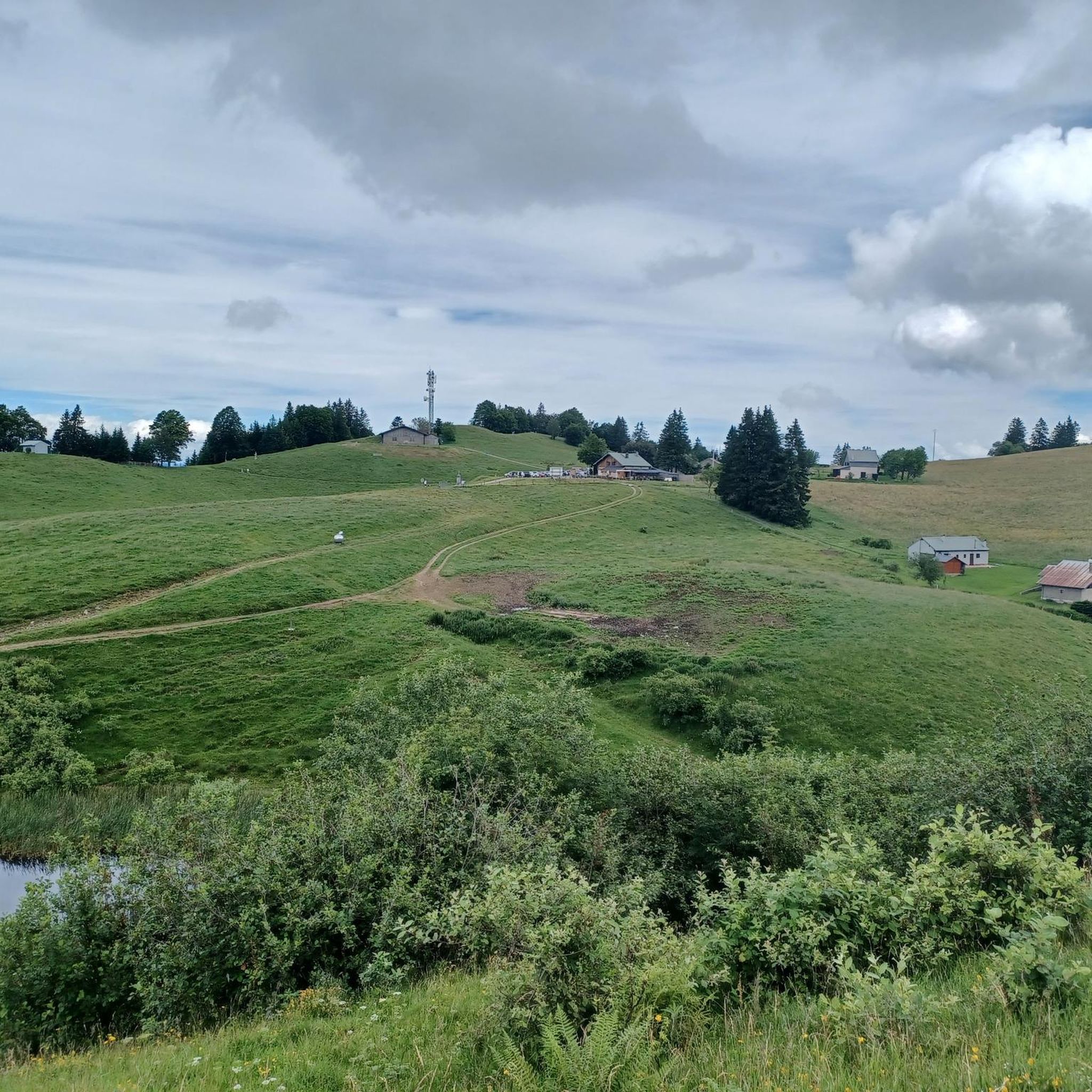
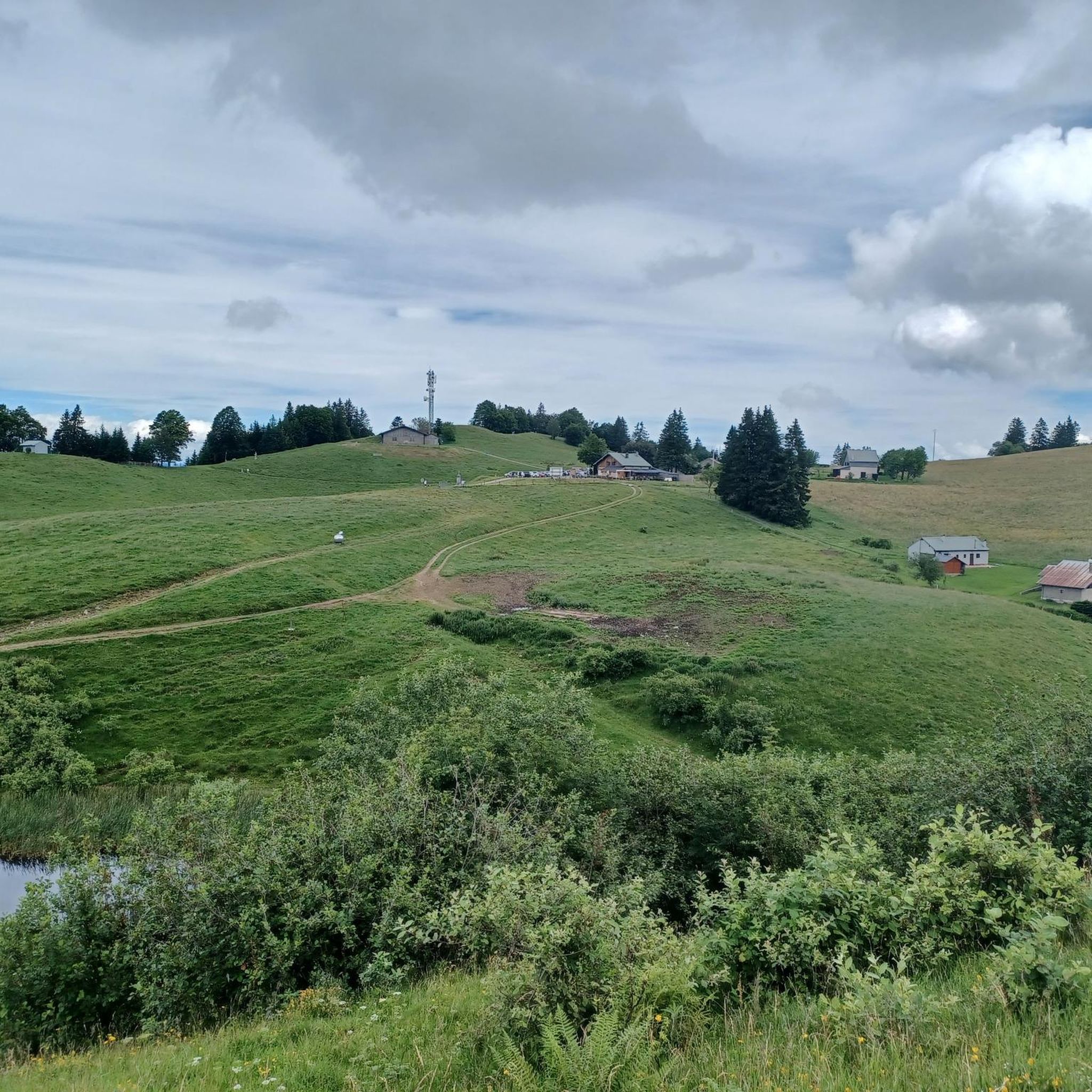
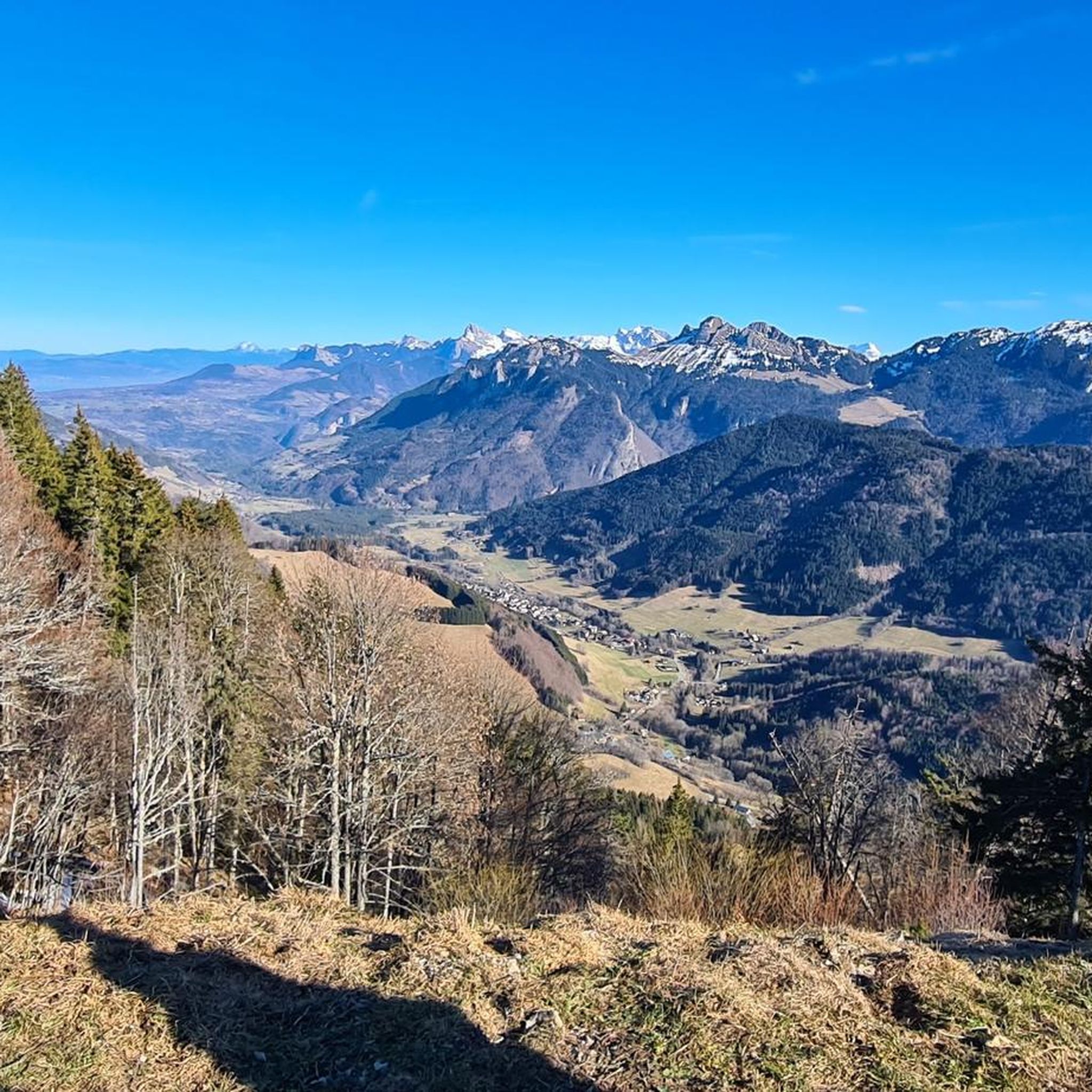
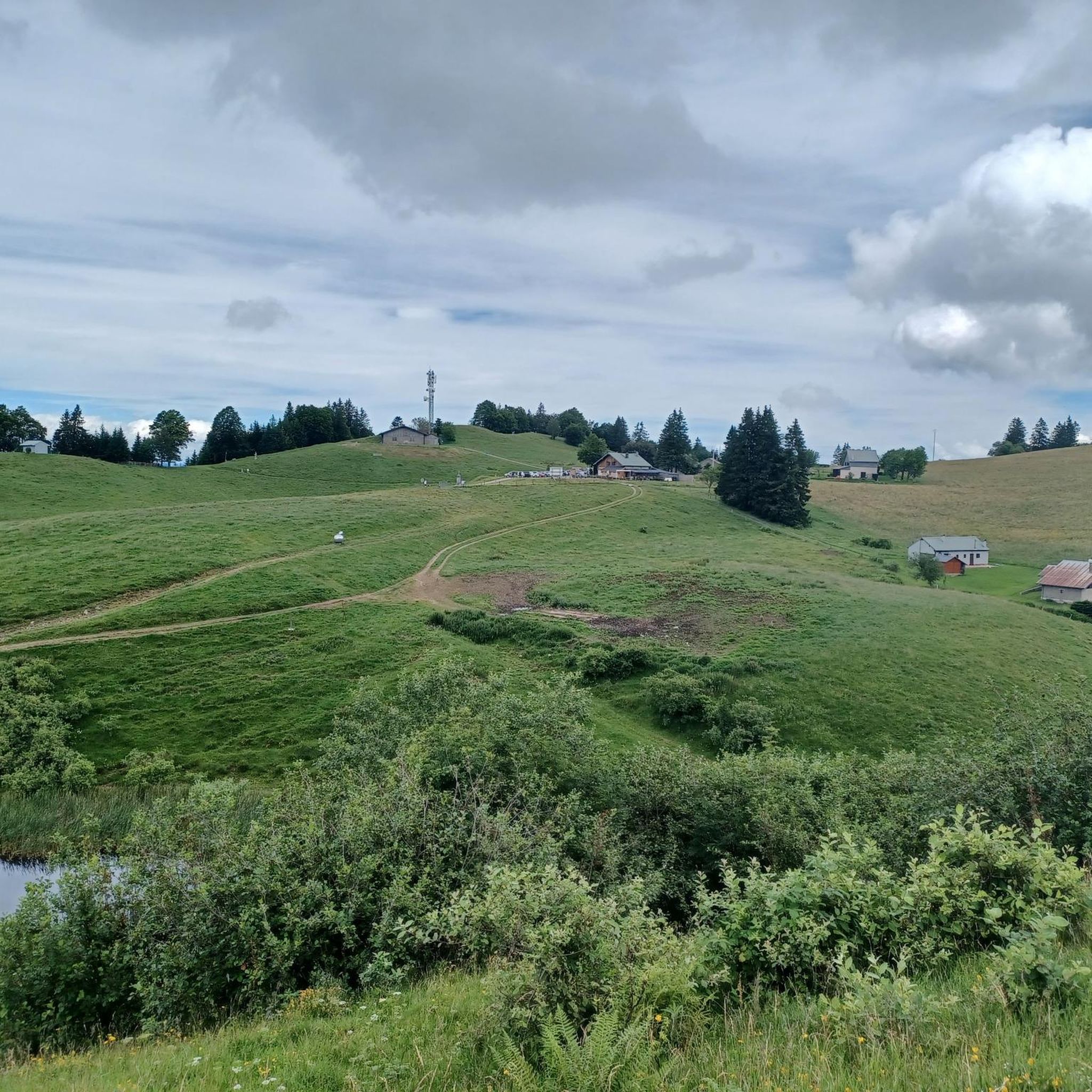

Tips from the Community


The Ajon climb is signposted from Villard. It is 7.3 kilometres long and has an average gradient of 8.3% with a passage at over 15%. At the top, the view at an altitude of 1,406 metres is delightful.
1
0

Steep ascent, many parts are steeper than 10%. In 2023, this climb was included in the Tour.
0
1


The Plaine Joux de Passy is 13.3 km long with a total drop of 756 m. The average gradient is 5.7% with maximum gradients of 15%.
2
1

Col de Seytrouset, just on the heights of the mountain pasture of the same name, you can continue towards Niflon d'en Haut on one side or descend on the other to reach the Col de la Balme, above Avanchéreau. Nice point of view.
0
0

A summit with some of the best views of the surrounding alps.
0
0
Frequently Asked Questions
How many mountaineering routes are available around Lullin?
Komoot features a selection of 6 mountaineering routes around Lullin. These routes offer diverse experiences, from moderate ascents to more challenging high-altitude excursions.
Are there any circular mountaineering routes in the Lullin area?
Yes, many of the mountaineering routes around Lullin are circular. For example, you can explore the Pointe d'Ireuse – Gouffre de la Tanne à Neige loop from Thonon-les-Bains, which offers views towards natural rock formations, or the Col de Seytrouset – Col de la Balme loop from Bellevaux, leading through mountain passes and valleys.
What interesting natural features or landmarks can I see while mountaineering near Lullin?
The region around Lullin is rich in natural beauty and landmarks. You can encounter prominent peaks like Mount Forchat, which offers panoramic views stretching from Lake Geneva to Mont Blanc on clear days. Other notable features include mountain passes such as Col de Cou and Jambaz Pass, known for their challenging climbs and scenic vistas. The Cascade de la Diomaz, located about 9 km from Lullin, is also a picturesque natural site.
What is the best time of year for mountaineering in Lullin?
The best time for mountaineering in Lullin generally aligns with late spring, summer, and early autumn, when trails are clear of snow and weather conditions are more stable. During winter, access to certain areas, like the Très le Mont mountain pasture near Mont Forchat, is possible via snowshoes or on foot, depending on snow conditions.
Are there routes suitable for beginners or those seeking less challenging ascents?
While many routes around Lullin are rated as difficult, there are options that cater to varying skill levels. The region offers diverse terrain, from accessible hikes with stunning views to more challenging routes. For example, the Pointe d'Ireuse – Gouffre de la Tanne à Neige loop from Thonon-les-Bains is rated as moderate, providing a good option for those seeking a less strenuous experience.
Where can I find more challenging mountaineering routes for experienced climbers?
For experienced mountaineers seeking a challenge, routes like the Pointe de Chalune – Col de Foron loop from Lac de Vallon are rated as difficult. This path traverses high mountain passes and offers expansive alpine vistas. Another difficult option is the Pointe de Miribel loop from Bogève, providing a significant ascent.
What do other mountaineers enjoy most about the routes in Lullin?
The mountaineering routes around Lullin are highly rated by the komoot community, with an average score of 5.0 stars. Reviewers often praise the diverse terrain, which includes prominent peaks, challenging mountain passes, and varied forest and alpine environments, offering something for different ability levels.
Are there any waterfalls to discover on these routes?
Yes, the region features natural attractions like the Cascade de la Diomaz, located approximately 9 km from Lullin. While not directly on every mountaineering route, it's a site of natural beauty worth exploring in the vicinity.
What kind of wildlife might I encounter on the mountain trails?
The diverse landscapes around Lullin, including woodland pastures and spruce forests, provide habitats for various wildlife. While specific sightings are never guaranteed, you might encounter local flora and fauna typical of the Haute-Savoie alpine environment. Keep an eye out for birds and small mammals common to mountain regions.
Are there any family-friendly mountaineering options around Lullin?
While some routes are challenging, the region offers accessible hikes suitable for families. The diverse terrain includes options for different ability levels, allowing families to find paths that match their experience. It's always recommended to check the difficulty and duration of a specific route, such as the moderate Pointe d'Ireuse – Gouffre de la Tanne à Neige loop from Thonon-les-Bains, to ensure it's appropriate for all family members.
Can I bring my dog on these mountaineering routes?
Many trails in the Lullin region are generally dog-friendly, especially those through woodland pastures and less technical terrain. However, it's always advisable to check local regulations, especially in protected areas or during certain seasons, and to keep your dog on a leash for their safety and to protect wildlife.
Do I need any permits for mountaineering in the Lullin region?
Generally, permits are not required for hiking and mountaineering on established trails in the Lullin region. However, if you plan to venture into specific protected natural reserves or engage in activities requiring special access, it's always best to check with local tourism offices or park authorities for any specific regulations.
Are there specific parking facilities for mountaineering trails?
Many trailheads in the Lullin area, especially those starting from villages or popular access points, typically have designated parking areas. It's recommended to check the starting point of your chosen route on Komoot or local maps for specific parking information to ensure convenience.
Most popular attractions around Lullin

Get inspired with the komoot mobile app


Explore more
Browse the best Mountain Hikes & Routes in other regions.
