The best mountain hikes around Publier
3.9
(6)
32
hikers
1
hike
Mountaineering routes around Publier benefit from a privileged geographical position within the Chablais region, nestled between Lake Geneva and the pre-Alps. This area is characterized by a diverse mountainous landscape, offering access to numerous peaks and trails. Mountaineers can expect varied terrain, including rocky ascents, paths through forests, and high-altitude pastures, often providing panoramic vistas of Lake Geneva and the surrounding French Alps. The region offers a spectrum of mountain trails suitable for different skill levels.
Best mountaineering routes around…
Last updated: July 6, 2026
4.8
(5)
17
hikers
9.65km
03:39
550m
550m
Moderate mountaineering route. Good fitness required. Mostly accessible paths. Sure-footedness required.
7
hikers
15.6km
05:54
1,010m
1,010m
Hard mountaineering route. Very good fitness required. Mostly accessible paths. Sure-footedness required.

Sign up for free
3.0
(1)
3
hikers
7.88km
02:27
300m
300m
Moderate mountaineering route. Good fitness required. Easily-accessible paths. Suitable for all skill levels.
3
hikers
10.5km
04:08
630m
630m
Hard mountaineering route. Good fitness required. Sure-footedness, sturdy shoes and alpine experience required.
2
hikers
4.41km
01:54
330m
330m
Hard mountaineering route. Good fitness required. Sure-footedness, sturdy shoes and alpine experience required.
Our route recommendations are based on thousands of hikes, rides, and runs completed by other people on komoot.
Start today with a free account
Your next adventure awaits.
Login or Signup
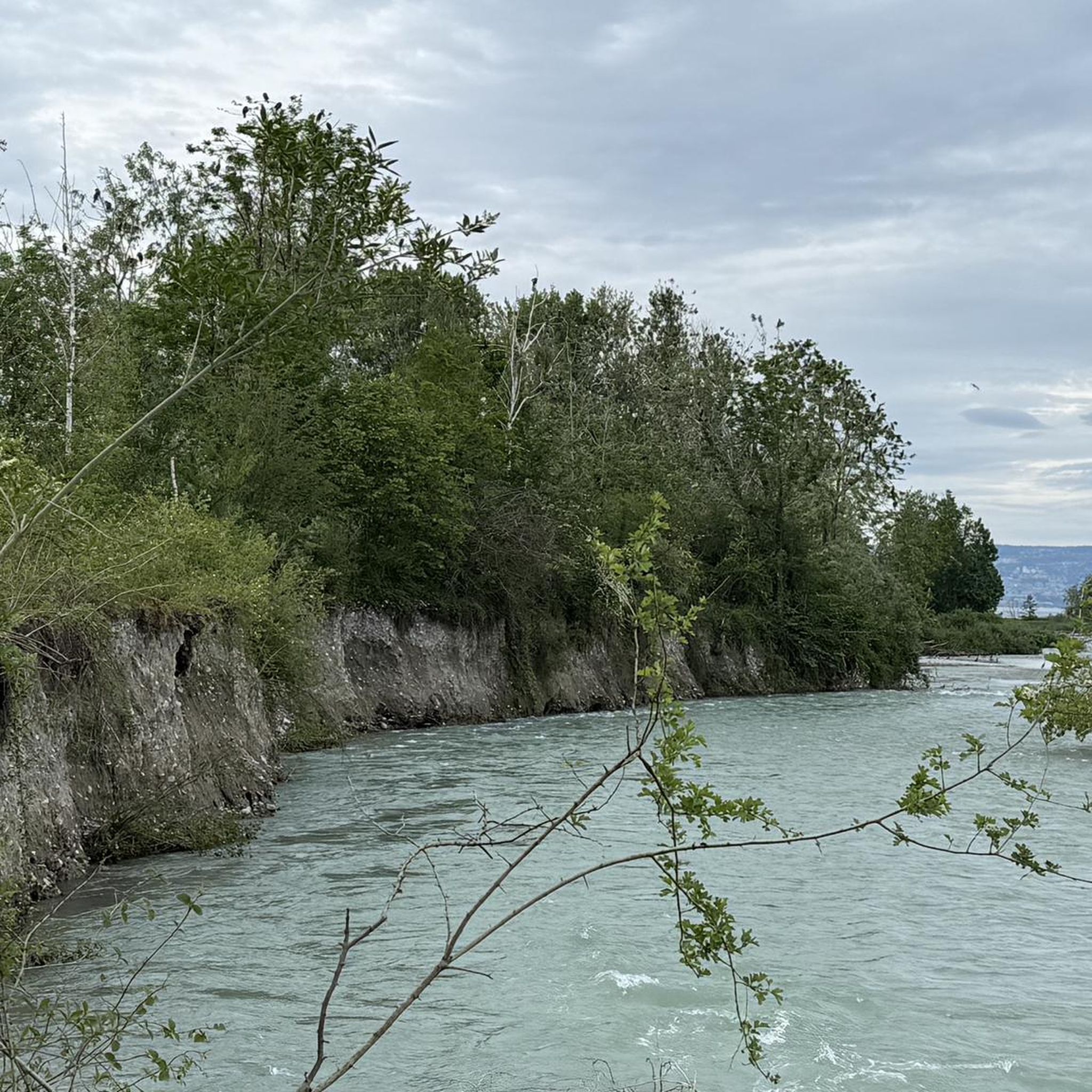
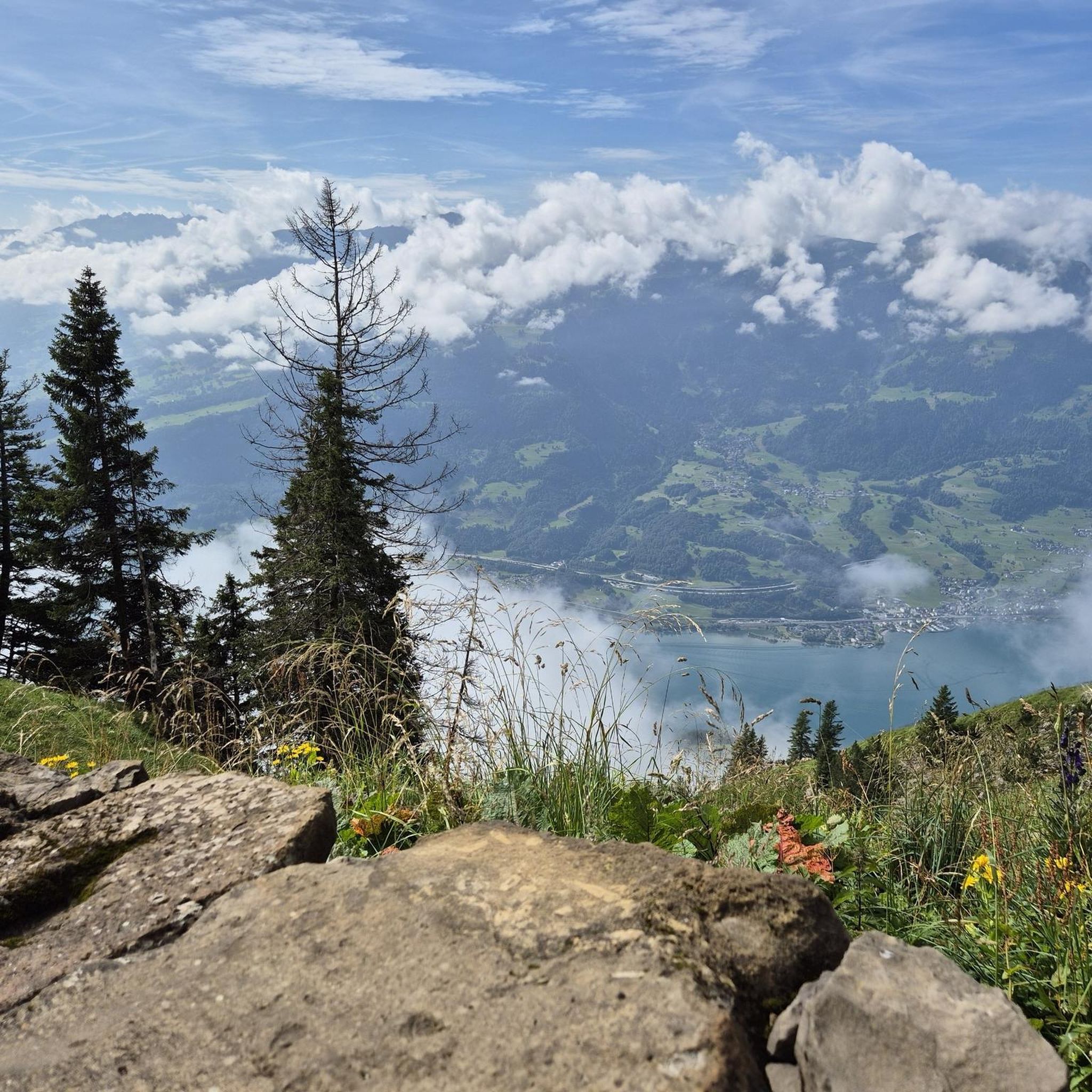
Tips from the Community

A beautiful viewpoint overlooking French-speaking Switzerland.
0
0

You have a beautiful view of Lake Geneva.
4
0

From here, the view of Chablais is breathtaking. Nestled between lakes and mountains, this panorama reveals the majestic reliefs of the Savoyard Alps, with their snow-capped peaks and green valleys. In the background, you can sometimes see the sparkling waters of Lake Geneva.
0
0

On the French side, the first hills from Lake Geneva offer a charming hilly landscape before attacking the real mountain. The view of the lake is delightful.
0
0

Beautiful view from the mountain station, the short walk to the Pic de Mémises is also worth it.
3
0

On September 3rd, 2023 we hiked along both edges of the Mémises in bright sunshine.
0
0

Quite impressive ladder attached to the cliff. Not dangerous if you are sure-footed, but still requires good attention on a rainy day.
3
1
The Pic de Mémise is an elevation above Thollon-des-Mémises that I/we have climbed repeatedly over the past ten years. In the direction of Lake Geneva, the Mémises form a cliff along which you can hike. The highest peak is 1674 meters high. You can access the hiking trail with a cable car, which is also open in summer until the beginning of September. Sturdy shoes and hiking poles are recommended. The area above the open high plateau is one of the most famous ski areas in the Évian-les-Bains area. Above the Mémises is the Pic Boré at 1974 m. The last 150 m to the summit are very steep. On the back there is a grade, which later goes steeply over a meadow into the valley. Good hiking equipment is essential here. I crossed the Pic Boré 2022.
2
0
Frequently Asked Questions
How many mountaineering routes can I explore around Publier?
Komoot features over 5 mountaineering routes around Publier. These routes offer a diverse range of experiences, from moderate ascents to more demanding trails, all set within the beautiful Chablais region.
What do other mountaineers enjoy most about the routes in Publier?
The mountaineering routes around Publier are highly rated by the komoot community, with an average score of 3.9 stars. Users frequently praise the varied terrain, which includes rocky ascents and paths through forests, and the rewarding panoramic vistas of Lake Geneva and the surrounding French Alps.
Are there any circular mountaineering routes in the Publier area?
Yes, several routes are designed as loops, allowing you to start and end in the same location. For example, the View of Lake Geneva loop from Bernex is a moderate 5.9-mile trail offering stunning lake views. Another option is the more challenging Pointe de Pelluaz – Col de la Case d'Oche loop from Bernex, which covers 9.7 miles with significant elevation gain.
What is the best time of year for mountaineering in Publier?
The best time for mountaineering in Publier, like much of the pre-Alps, is typically from late spring through early autumn (May to October). During these months, the weather is generally more stable, and trails are free of snow, making for safer and more enjoyable ascents. Always check local weather and trail conditions before heading out.
Are there any family-friendly hiking options that offer a taste of mountaineering near Publier?
While dedicated mountaineering routes often require good fitness and experience, the region offers paths that can be enjoyed by families. For a less strenuous option, consider the View of the Chablais loop from Bernex, a moderate 4.9-mile trail that takes you through diverse landscapes. Additionally, Publier itself has 'Coteau Loops Path' which are family-friendly walks lasting 1 to 2.5 hours.
What kind of gear should I bring for mountaineering in Publier?
Given the varied terrain, including rocky ascents and paths through forests, sturdy hiking boots with good ankle support are essential. Depending on the route's difficulty, you might also need trekking poles, appropriate layers of clothing for changing mountain weather, sun protection, sufficient water, and snacks. For more challenging routes like those to Pointe de Pelluaz, alpine experience is recommended.
Are there any challenging mountaineering routes for experienced climbers?
Absolutely. For those seeking a significant challenge, the Pointe de Pelluaz – Col de la Case d'Oche loop from Bernex is a difficult 9.7-mile path featuring over 1,000 meters of elevation gain. Another demanding option is the Col de Pertuis loop from Bernex, a difficult 4.1-mile route with steep ascents.
What scenic viewpoints can I find along the mountaineering routes or nearby?
Many mountaineering routes in the area offer spectacular views of Lake Geneva and the French Alps. For specific viewpoints, you can visit Belvedere Park or Croix du Mont Bénand, both of which are excellent spots to take in the panoramic scenery.
Are there any natural attractions or landmarks to explore near the mountaineering trails?
Beyond the trails, the Publier area boasts several natural attractions. You can visit The Gorges of Pont du Diable for a dramatic landscape, or explore the Delta de la Dranse Nature Reserve, which has a strong environmental focus. The Jotty Lake and Dam also offers a picturesque setting.
Is parking available near the starting points of the mountaineering routes?
While specific parking details for each trailhead are best checked on individual route pages, mountain trailheads in the French Alps typically have designated parking areas, often in nearby villages or at the start of popular routes. It's advisable to arrive early, especially during peak season, to secure a spot.
Can I reach the mountaineering trails using public transport?
Access to mountain trailheads by public transport can vary. While major towns like Publier and Bernex are served by local bus routes, reaching the exact starting points of some remote mountaineering trails might require a combination of public transport and a short walk or taxi ride. It's recommended to consult local transport schedules and route information for specific access details.
Are there any less crowded mountaineering routes in the Publier region?
To find less crowded routes, consider exploring trails that are slightly off the main tourist paths or venturing out during off-peak hours or seasons. While specific crowd levels can fluctuate, routes that are longer or have a higher difficulty rating, such as the View of Lake Geneva loop from Bernex (a 10.2 km moderate route), might offer a more serene experience compared to shorter, more accessible trails.
Most popular routes around Publier
Most popular attractions around Publier

Get inspired with the komoot mobile app


Explore more
Browse the best Mountain Hikes & Routes in other regions.
