The best mountain hikes around Le Moutaret
4.1
(7)
55
hikers
4
hikes
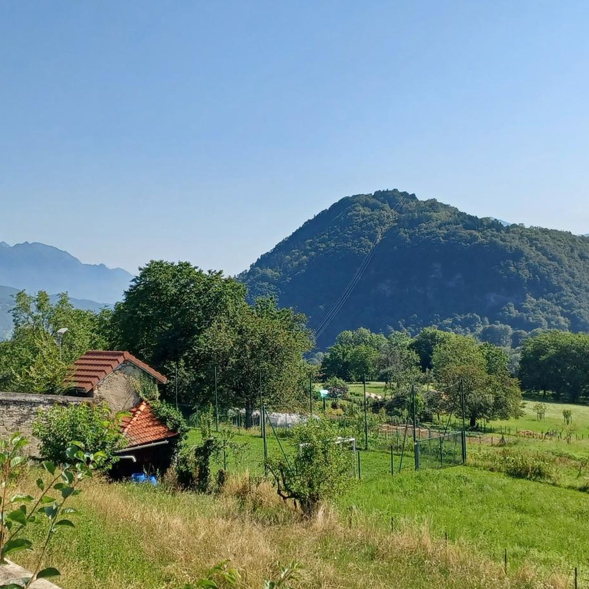
Mountaineering around Le Moutaret offers access to the challenging terrain of the Belledonne massif in the Isère department of France. This region is characterized by significant mountain features, including peaks such as Mont Granier and the Aiguilles d'Arves, alongside prominent mountain passes like Col du Lautaret. The landscape provides diverse experiences, from demanding alpine ascents to high-alpine environments, with routes often involving substantial elevation gains.
Best mountaineering routes around Le Moutaret
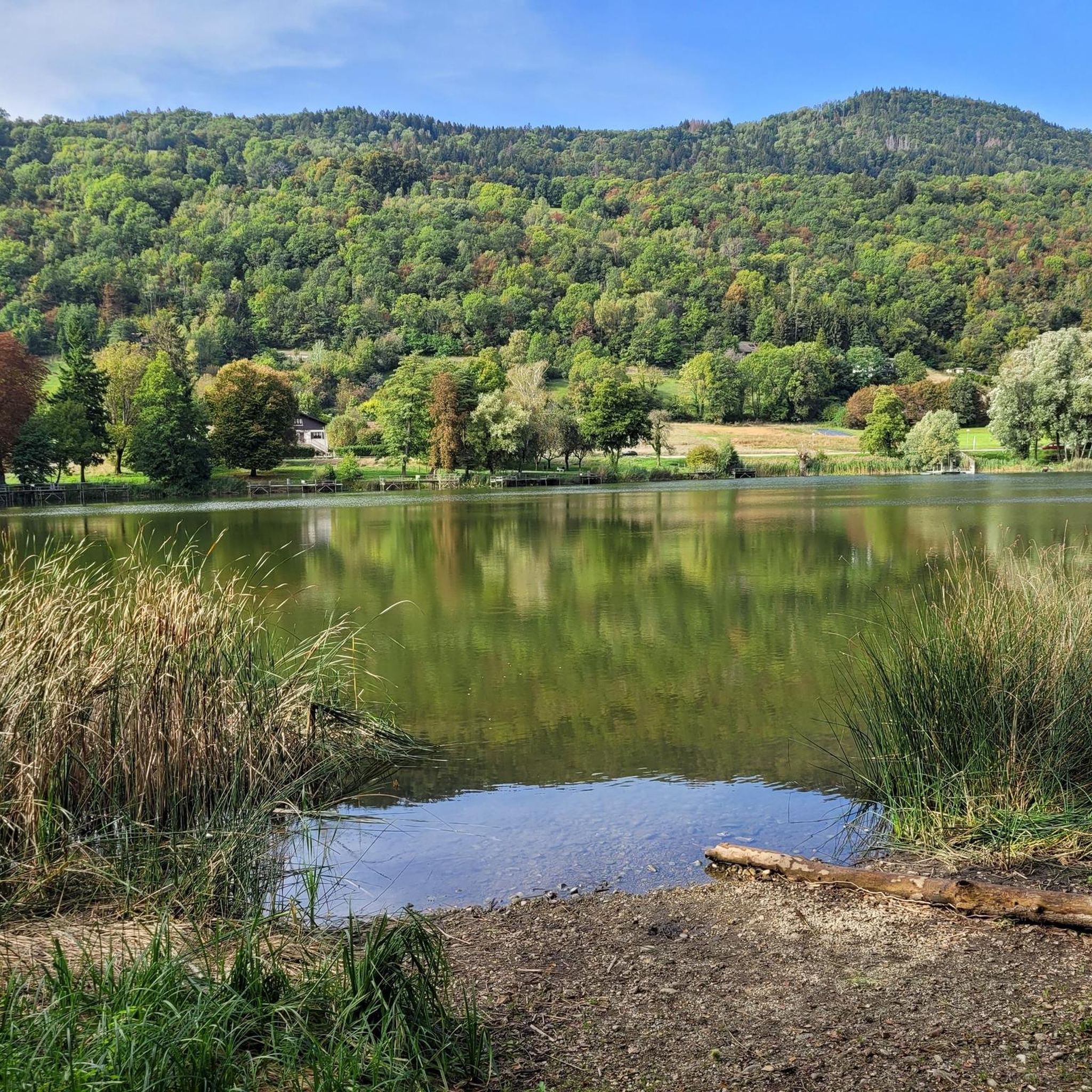
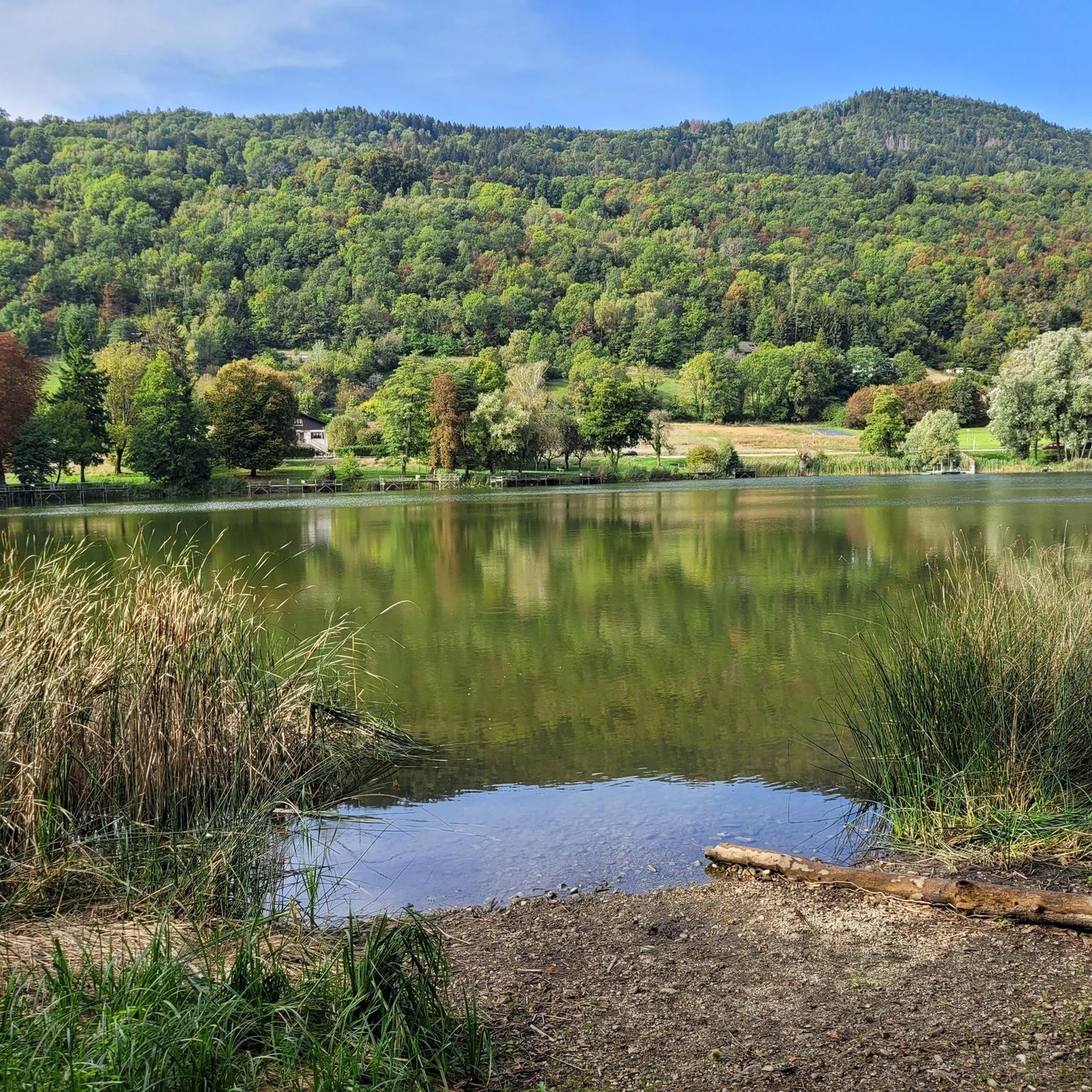
- The most popular mountaineering route is Lac du Collet…
Last updated: October 9, 2026
18
hikers
8.01km
03:09
590m
590m
Moderate mountaineering route. Good fitness required. Mostly accessible paths. Sure-footedness required.
4.0
(5)
21
hikers
11.5km
05:39
930m
930m
Hard mountaineering route. Very good fitness required. Mostly accessible paths. Sure-footedness required.

4.0
(3)
13
hikers
19.8km
08:34
1,380m
1,380m
Hard mountaineering route. Very good fitness required. Mostly accessible paths. Sure-footedness required.
6
hikers
13.9km
05:36
990m
990m
Hard mountaineering route. Very good fitness required. Mostly accessible paths. Sure-footedness required.
1
hikers
9.91km
04:57
790m
790m
Moderate mountaineering route. Good fitness required. Mostly accessible paths. Sure-footedness required.
Our route recommendations are based on thousands of hikes, rides, and runs completed by other people on komoot.
Start today with a free account
Your next adventure awaits.
Tips from the Community

I climbed to the small summit, there is a very beautiful view. But the cross has disappeared
0
0
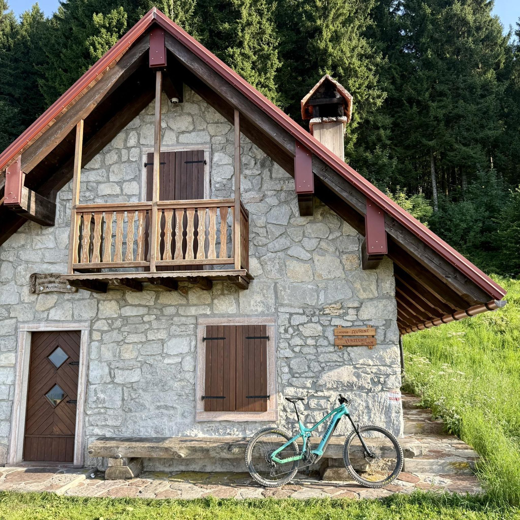
This small refuge is run by a fantastic association called "Tous à Poêle." It is very well equipped and has a small wood-burning stove, and, most importantly, kindling and logs. There is a spring nearby.
0
0

Not to be done in early May, when the snow is still present. The path is impassable.
0
0

Beware of the dwarf king who protects the place.
0
0

And also and especially in good weather on Mont Blanc my dear Chloé 🤪
0
0

Small refuge available with water point. Magnificent view.
0
0

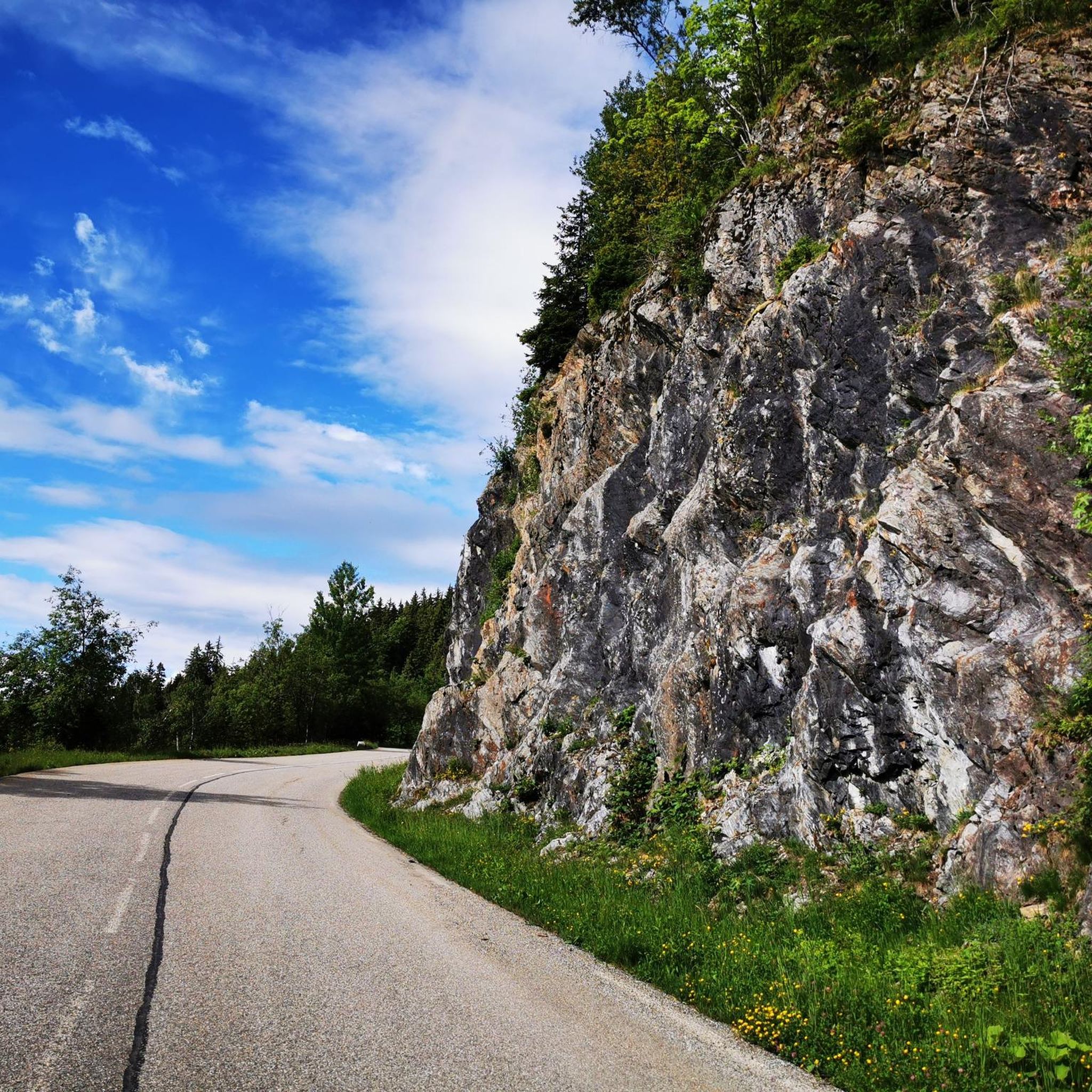
A beautiful balcony path leads you to the Pierre du Pin. The views are fantastic!
0
0
Frequently Asked Questions
What kind of mountaineering experiences can I expect around Le Moutaret?
Mountaineering around Le Moutaret offers a diverse range of experiences, from moderate paths to challenging alpine ascents. The region is defined by the impressive Belledonne massif, featuring significant peaks like Mont Granier and the Aiguilles d'Arves, alongside prominent mountain passes such as Col du Lautaret. You'll find routes with substantial elevation gains and high-alpine environments.
Are there any moderate mountaineering routes suitable for those with some experience?
Yes, for those with some mountaineering experience, the Lac du Collet – Les Plagnes loop from Le Collet d'Allevard is a great option. This 5.2-mile (8.4 km) trail offers varied terrain and typically takes around 3 hours 16 minutes to complete. Another moderate choice is the Cabane du Lac du Léat loop from Pinsot, which is about 6.1 miles (9.8 km) long.
Where can I find more challenging mountaineering routes in the area?
Le Moutaret is known for its challenging terrain. For difficult routes, consider the Les Grands Moulins – Grande Montagne d'Arvillard loop from Parking de Val Pelouse, a 7.4-mile (12.0 km) path with significant elevation changes and panoramic views. Another demanding option is the Grande Montagne d'Arvillard – Les Grands Moulins loop from Institut Karma Ling, a 12.4-mile (19.9 km) trail leading through high-alpine environments.
Are there any circular mountaineering routes available?
Yes, many of the mountaineering routes around Le Moutaret are circular, allowing you to start and end at the same point. Examples include the Lac du Collet – Les Plagnes loop from Le Collet d'Allevard, the Les Grands Moulins – Grande Montagne d'Arvillard loop from Parking de Val Pelouse, and the Grande Montagne d'Arvillard loop from Institut Karma Ling.
What natural features or landmarks can I see along the mountaineering routes?
The region offers stunning natural beauty. You might encounter impressive mountain passes like the Marocaz Pass, or enjoy views of various lakes such as Lake Saint-André and Lac de Sainte Hélène. The area is also known for its mountainous terrain, including the Crêt du Poulet summit.
What do other mountaineers enjoy most about the routes in Le Moutaret?
The mountaineering routes in Le Moutaret are highly rated by the komoot community, with an average score of 3.75 stars from 5 reviews. Mountaineers often praise the challenging alpine ascents, the panoramic views of the surrounding landscape, and the diverse terrain that defines the Belledonne massif.
Are there any lakes or waterfalls accessible on or near these mountaineering routes?
While specific waterfalls are not directly on these routes, the region is known for natural attractions like the 'Cascade de la Pierre Tombante' loop. You can also find beautiful lakes such as Lake Saint-André and Lac de la Thuile in the broader area, offering serene spots amidst the mountain scenery.
What is the best time of year for mountaineering in Le Moutaret?
The best time for mountaineering in Le Moutaret typically depends on the specific route and your experience level. Generally, late spring through early autumn offers the most favorable conditions, with less snow and more stable weather. However, some high-alpine routes may still have snow well into summer, and prior alpine experience is often recommended.
Are there options for parking near the starting points of these routes?
Yes, several routes mention specific starting points that often include parking. For example, the Les Grands Moulins – Grande Montagne d'Arvillard loop starts from Parking de Val Pelouse, indicating parking availability at that location.
How many mountaineering routes are available around Le Moutaret?
There are several dedicated mountaineering routes around Le Moutaret featured in this guide, offering a range of difficulties from moderate to difficult. The broader Isère region, where Le Moutaret is located, boasts an extensive network of marked footpaths, providing ample opportunities for exploration.
What kind of views can I expect on the mountaineering trails?
The mountaineering trails around Le Moutaret offer spectacular views of the Belledonne massif, including prominent peaks and high-alpine environments. From higher elevations, you can often enjoy panoramic vistas of the surrounding French Alps, and some routes provide views towards the Meije glaciers, especially from areas like the Col du Lautaret.
Most popular routes around Le Moutaret
Most popular attractions around Le Moutaret

Get inspired with the komoot mobile app


Explore more
Browse the best Mountain Hikes & Routes in other regions.
