The best mountain hikes around La Buisse
5.0
(1)
7
hikers
2
hikes
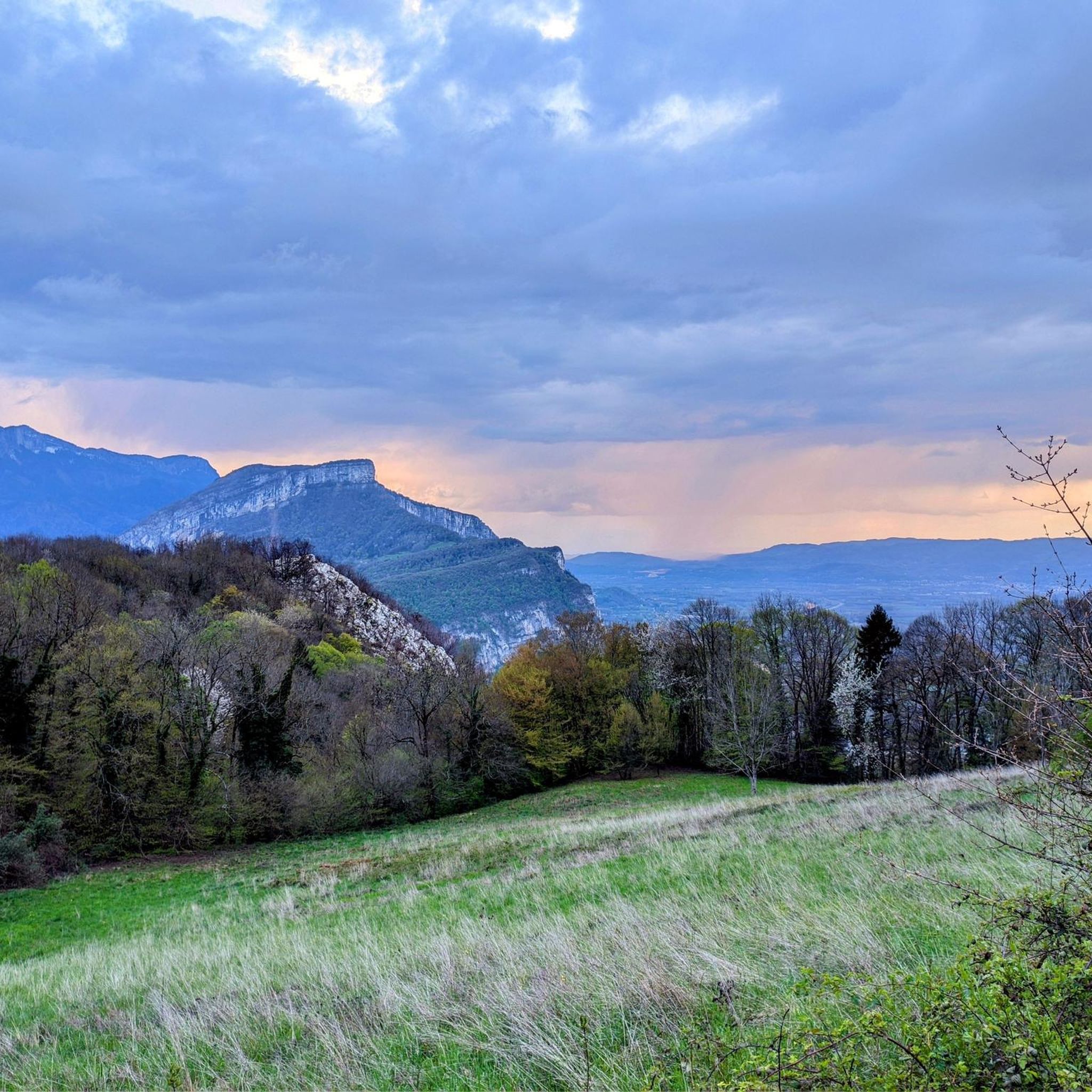
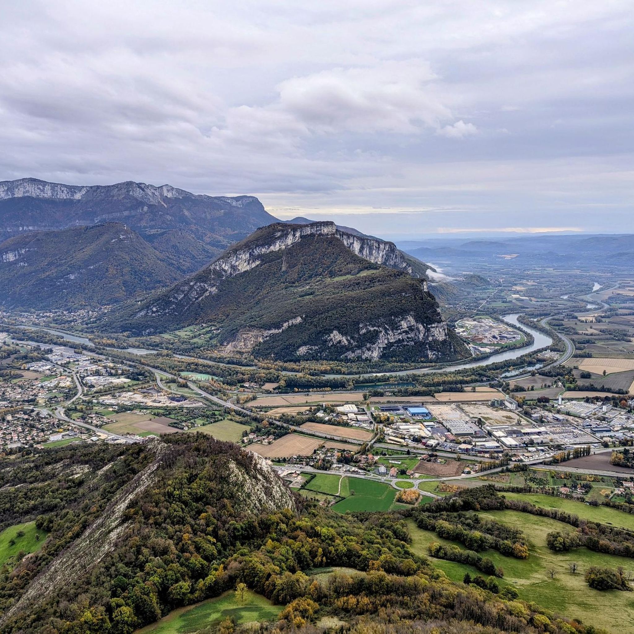
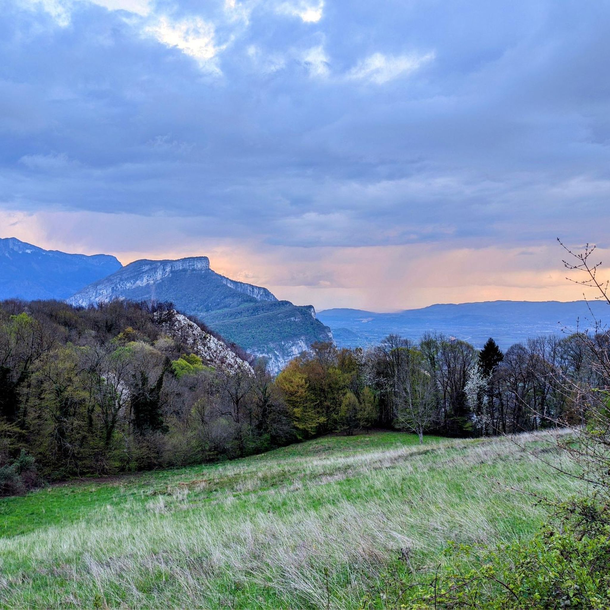
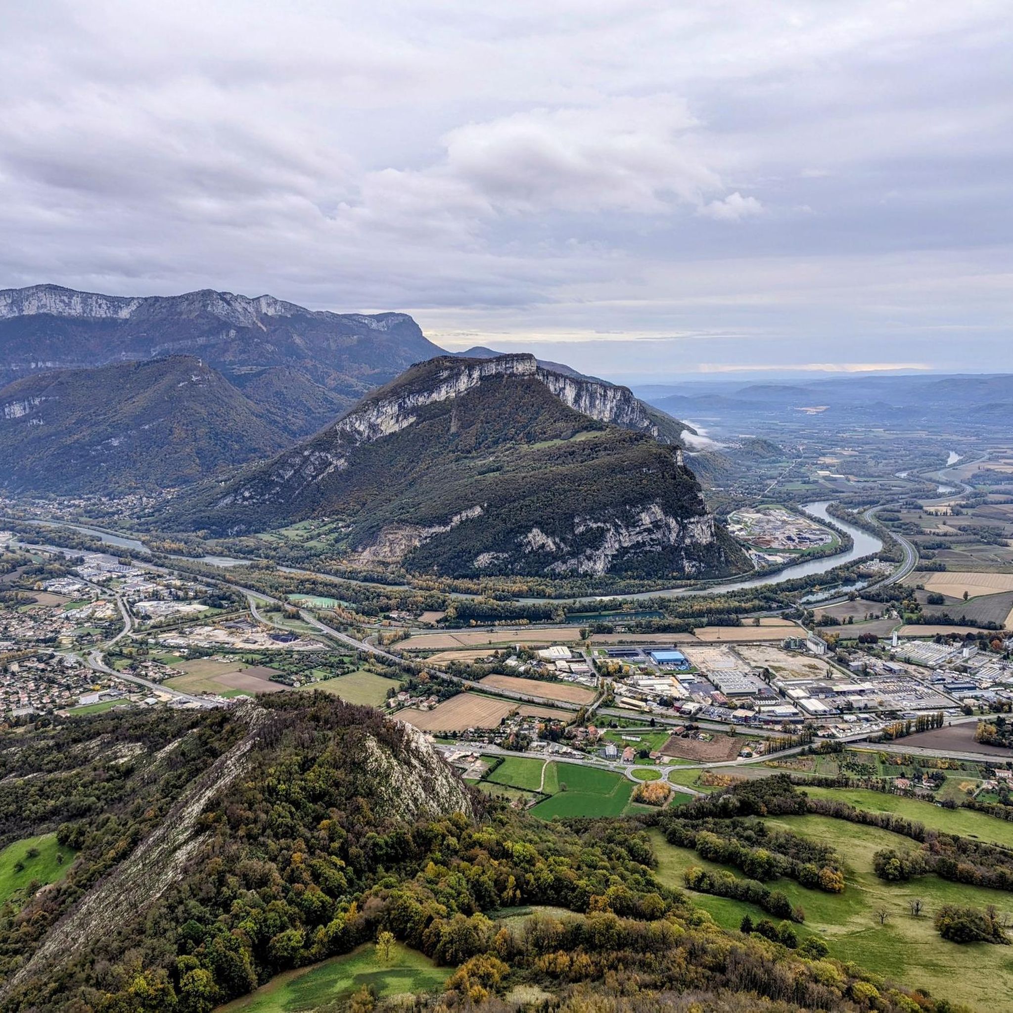
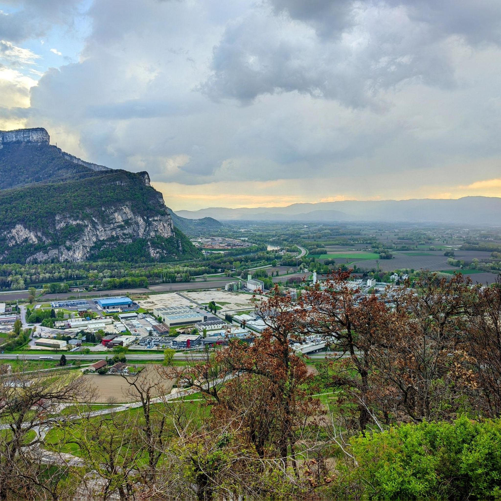
Mountaineering routes around La Buisse are situated amidst the impressive natural landscapes of the French Alps, offering diverse terrain. The region provides views of the Chartreuse and Vercors massifs, characterized by mountain passes and limestone formations. Notable features include the Gorges du Bret, with its narrow passages between large rocks, and viewpoints like Roche Brune. This area offers a blend of accessible trails and challenging ascents for outdoor enthusiasts.
Best mountaineering routes around La Buisse
- The most popular mountaineering route…
Last updated: October 9, 2026
5.0
(1)
2
hikers
8.59km
03:51
560m
560m
Hard mountaineering route. Good fitness required. Sure-footedness, sturdy shoes and alpine experience required.
4
hikers
Hard mountaineering route. Great for any fitness level. Sure-footedness, sturdy shoes and alpine experience required.

1
hikers
8.25km
02:37
330m
330m
Moderate mountaineering route. Good fitness required. Easily-accessible paths. Suitable for all skill levels.
Our route recommendations are based on thousands of hikes, rides, and runs completed by other people on komoot.
Start today with a free account
Your next adventure awaits.

Tips from the Community


The approach from the south is very nice, the descent to the north via the forest road is not allowed, but with great caution and pushing in tunnels possible
0
0

Highest summer cheese dairy, perched in the middle of the Charmant Som mountain pasture. Well, okay, it's not really the season...
0
0

The Col de la Charmette is hidden in the middle of the Chartreuse at the end of a dead-end road at an altitude of 1,261 meters. Located in the middle of the forest, it is a starting point for many hiking trails.
1
0

Charmant Som (1867 m) is one of the 3 dominant peaks of St Pierre de Chartreuse, and the most accessible by bike from the Col de Porte. Upstairs you will enjoy a beautiful panorama. The Charmant Som, in addition to being the most easily accessible summit, is the last mountain pasture in Isère that makes and sells its cheese on site. The ascent to the Chalet de Charmant Som from Col-de-Porte is a climb in the Grenoble region. It has a length of 5.5 kilometers and an ascent of 364 vertical meters with a slope of 6.7% on average, which implies a difficulty level of 336. The summit of the ascent is located at 1671 meters above sea level.
0
0
The Col de la Charmette (1261 m) is a hidden pass within the Chartreuse Massif. The southern slope – and its three variants – is the official ascent of this pass but it can also be climbed from its northern slope. The latter is closed to traffic but... Despite its modest altitude, it is not easy to climb, you will have to face numerous steps at more than 10%!
0
0

Culminating at 1,867 meters, the Charmant Som is an emblematic summit of the Chartreuse massif. From the inn of the same name, accessible by car, the ascent is made without major difficulty. At the top, the panorama is spectacular!
1
0
Frequently Asked Questions
What kind of mountaineering routes can I expect around La Buisse?
La Buisse offers a diverse range of mountaineering routes, set against the stunning backdrop of the Chartreuse and Vercors massifs. You'll find trails ranging from moderate ascents to more challenging climbs, often featuring impressive panoramic views and unique geological formations like the Gorges du Bret. The area is known for its mountain passes and varied terrain, catering to different experience levels.
Are there any easy or moderate mountaineering routes suitable for beginners or a quicker outing?
Yes, for those looking for a moderate challenge or a shorter experience, consider the Charmant Som loop from Zone d'hivernage du tétras lyre. This route is about 2.7 km long and provides a quicker ascent to the Charmant Som area. Another moderate option is the View from the Dent de Moirans loop from Montaud, which covers 7.6 km through varied terrain.
What are some challenging mountaineering routes for experienced climbers in the area?
For a more demanding experience, the Charmant Som – Charmant Som loop from Rhône-Alpes is a difficult route that involves sustained climbing towards the Charmant Som peak. This 8.4 km trail typically takes around 3 hours 48 minutes to complete, offering a significant challenge and rewarding views.
What are the best times of year for mountaineering in La Buisse?
The best time for mountaineering in La Buisse generally aligns with late spring, summer, and early autumn. During these seasons, the weather conditions are typically more stable, and trails are clear of snow, making for safer and more enjoyable ascents. Always check local weather forecasts and trail conditions before heading out, especially for higher elevations or after periods of rain.
Are there any notable viewpoints or natural attractions along the mountaineering routes?
Absolutely! The region is rich in scenic viewpoints and natural curiosities. You'll encounter magnificent views of the Chartreuse and Vercors massifs. Specific highlights include the Charmant Som summit, offering expansive panoramas, and the unique Col d'Hurtières, which provides extensive views. The Gorges du Bret, with its narrow passages between large limestone rocks, also offers a distinctive landscape for exploration.
Can I find circular mountaineering routes in La Buisse?
Yes, several routes in the La Buisse area are designed as loops, allowing you to start and end at the same point. Examples include the Charmant Som – Charmant Som loop from Rhône-Alpes and the Charmant Som loop from Zone d'hivernage du tétras lyre. These circular routes offer varied scenery without retracing your steps.
What do other mountaineers say about the routes in La Buisse?
The mountaineering routes around La Buisse are highly regarded by the komoot community, with an average rating of 5.0 stars. Mountaineers often praise the diverse terrain, the stunning views of the Chartreuse and Vercors massifs, and the blend of accessible trails and challenging ascents available in the area.
Are there specific climbing sites near La Buisse for technical ascents?
Yes, for those interested in technical climbing, the Rochebrune climbing site is a notable location near La Buisse. It offers dedicated climbing opportunities with an elevation of 190m, indicating options for more advanced ascents.
Are there any mountain passes in the La Buisse region that are popular for mountaineering?
The region around La Buisse is indeed dotted with several mountain passes that are popular with mountaineers. Notable passes include Charmette Pass, Placette Pass, and Col d'Hurtières. These passes often serve as starting points for trails and offer rewarding views of the surrounding massifs.
What are the general difficulty levels of mountaineering routes in La Buisse?
The mountaineering routes in La Buisse cater to a range of abilities. You'll find both moderate trails, suitable for those with some experience or looking for a less strenuous day out, and difficult routes that involve significant elevation gain and sustained climbing, ideal for experienced mountaineers seeking a challenge.
How many mountaineering routes are available in the La Buisse area?
There are several mountaineering routes available in the La Buisse area, offering a variety of experiences for outdoor enthusiasts. The komoot community has explored and rated these trails, highlighting the region's diverse terrain and scenic beauty.
Most popular routes around La Buisse
Most popular attractions around La Buisse

Get inspired with the komoot mobile app


Explore more
Browse the best Mountain Hikes & Routes in other regions.
