Top 7 Mountain Passes around Merxheim
Best mountain passes around Merxheim are found in the Bad Kreuznach region of Germany, an area known for its scenic hiking trails. The landscape features diverse routes through forests, vineyards, and along the Nahe river. While not a high-altitude mountain pass region, the area includes features like the Paul Hornung Pass, which is part of a circular hike offering views into the Nahe valley. This region provides varied terrain for nature lovers and hikers.
Best mountain passes around Merxheim
- The…
Last updated: June 26, 2026
Ascent from Soultz to Col du Grand Ballon
Highlight (Segment) • Climb
Translated by Google •
Tip by

Bannstein Pass
Highlight • Forest
Translated by Google •
Tip by

Sign up now to discover places like this
Get recommendations on the best single tracks, peaks, & plenty of other exciting outdoor places.
Sign up for free
Neuland Pass
Highlight • Mountain Pass
Translated by Google •
Tip by

Ascent of the Col du Grand Ballon from Buhl
Highlight (Segment) • Climb
Translated by Google •
Tip by

Start today with a free account
Your next adventure awaits.
Login or Signup
Tips from the Community

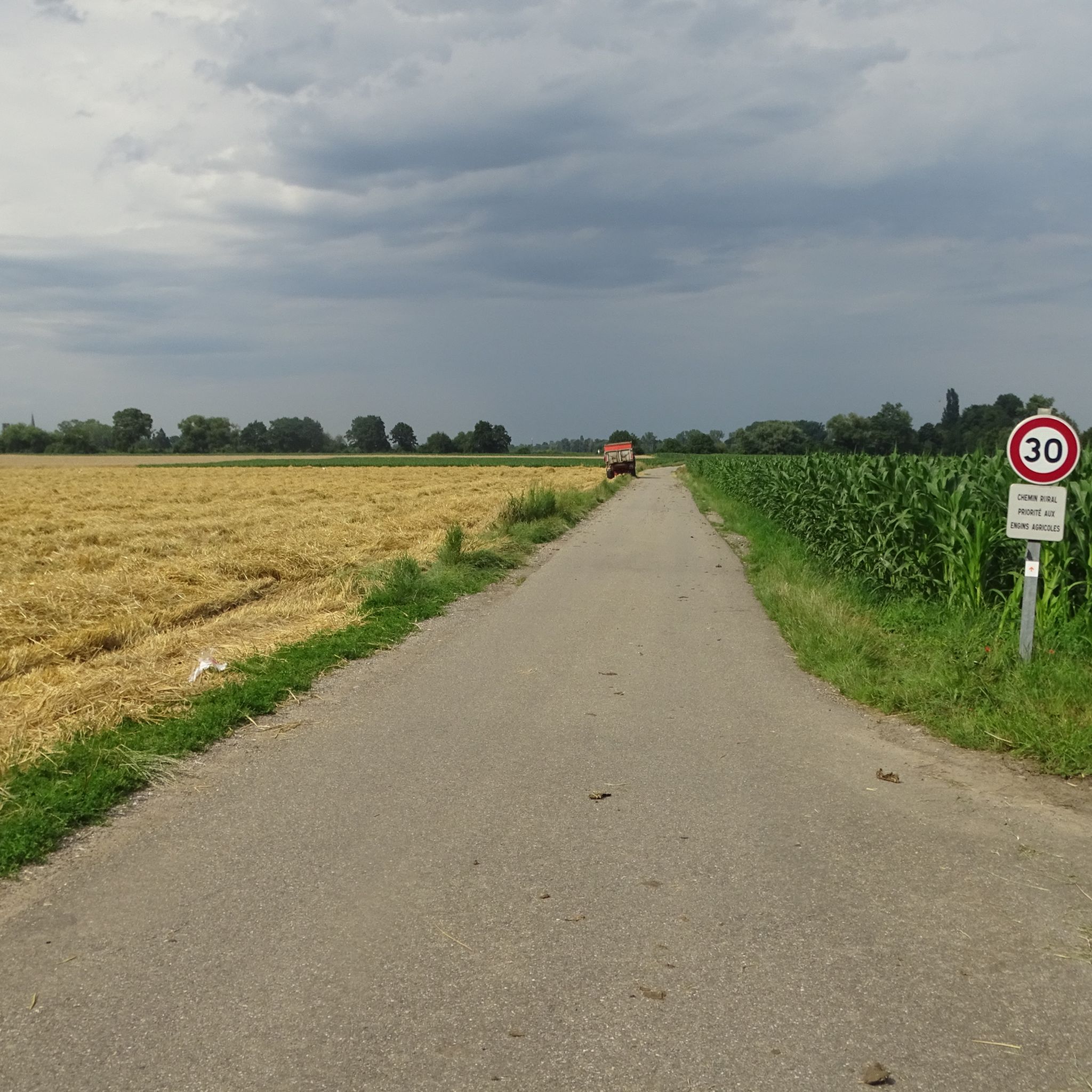
A pleasant section to ride, with moderate climbs and little traffic. There were a few racing cyclists on the road.
0
0

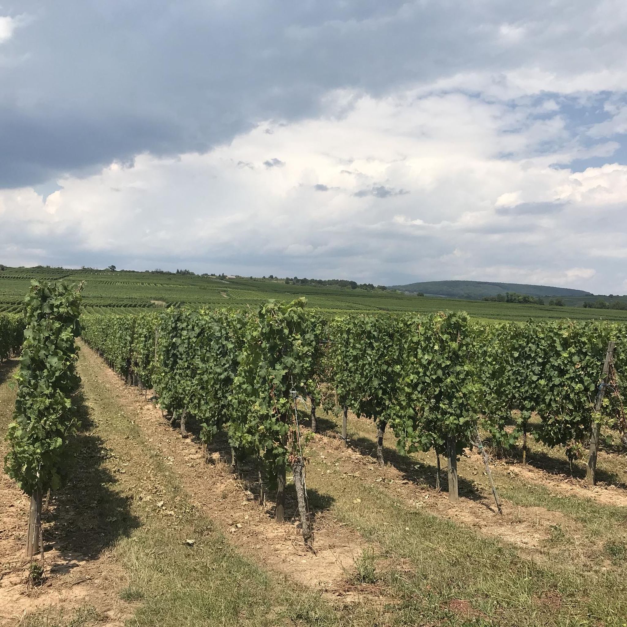
This short but tough climb (2.4 km at 4.8% average) takes you via quiet asphalt roads through the forest south of Colmar. The summit is at 352 meters altitude and is ideal for those looking for a shady climb with little traffic. The steepest section reaches 9.6%, but the climb is easy for recreational cyclists. Perfect as a connecting link between the wine villages and the Vosges.
5
0

Of all the possible routes to the Col du Grand Ballon, the ascent from Buhl, classified as first-category, is one of the most irregular. Despite an average gradient of 4% over 25 kilometers, the middle of the route is steeper, at over 8%.
0
0

Once at the top, there is another rest area at the edge of the forest to take a breather
0
0

From Saint Granolphe: Handy to get from A to B but not really exciting in terms of gradient, length or surroundings. From Soultzmatt: Easy climb, not very exciting but nothing bad either. This side is nicer than the other side because you have more nature and less construction here. Road surface is fine.
1
0

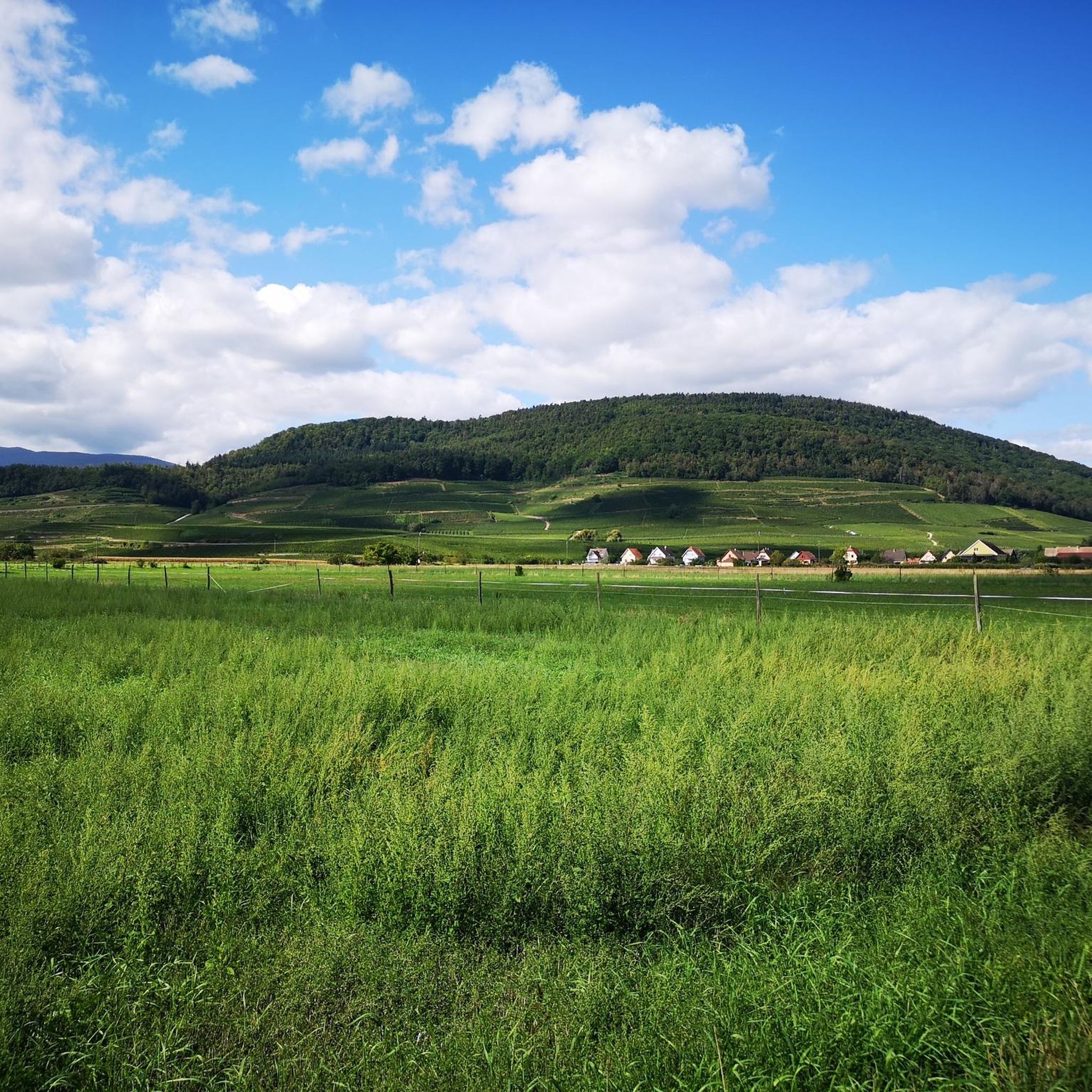
Pretty stone cross next to the Col du Neuland, which offers access to the Vallée Noble, the Mediterranean meadows of Strangenberg (398 m) or Zinnkoepfle (446 m) and the Hohberg forest massif (555 m).
1
0

For those coming from further afield, access possible by car. Parking spaces available. Starting point for "adventures" in several directions.
1
0

The “summit” is quite unspectacular, simply the highest point in the middle of the forest.
1
0
Frequently Asked Questions
What types of mountain passes can I expect around Merxheim?
The region around Merxheim offers a variety of mountain passes, ranging from scenic forest routes to challenging climbs. You'll find passes like Bannstein Pass, known for connecting the Lauch- with the Munstertal, and the Ascent from Soultz to Col du Grand Ballon, which leads pleasantly through shady forests. There are also shorter, tougher climbs such as Neuland Pass, ideal for those seeking a shady route with minimal traffic.
Are there any notable viewpoints along the mountain passes near Merxheim?
Yes, the area offers several scenic viewpoints. For instance, the local Paul Hornung Pass, part of a circular hike, provides views into the Nahe valley and towards the heights of the Soonwald from the Heimberg viewpoint. Many of the mountain passes themselves, like Bannstein Pass, are appreciated for their scenic routes through forests.
What is the best time of year to visit the mountain passes around Merxheim?
The best seasons for exploring the mountain passes and hiking trails around Merxheim are spring and autumn. In spring, you can enjoy blooming flowers, while autumn offers a spectacular display of colorful foliage. Summer can also be pleasant, especially on shaded routes like the Ascent from Soultz to Col du Grand Ballon, which offers shade in the woods.
Are there family-friendly hiking options near the mountain passes?
While specific 'family-friendly' categories aren't always assigned to mountain passes, many routes in the broader Merxheim area are suitable for families. For example, the circular hike involving the Paul Hornung Pass is generally accessible. For dedicated hiking routes, you can explore options like the 'Ungersheim Church loop' which is an easy 4.8 km hike, or the 'Graffs Mange du miel Wildi loop' at 7.1 km, both found in the Hiking around Merxheim guide.
What kind of cycling routes are available near these mountain passes?
The area around Merxheim is popular for cycling, offering both road cycling and gravel biking routes. Road cyclists can tackle challenging loops like the 'Hundsruck – Bannstein Pass loop' (119 km) or more moderate options such as the 'Ascent to Col Amic – Col Amic Pass loop' (51 km). Gravel bikers have routes like the 'Panoramic view from the vineyards – Historic Streets of Eguisheim loop' (75 km). You can find more details in the Road Cycling Routes around Merxheim and Gravel biking around Merxheim guides.
What are the typical terrain and difficulty levels of the mountain passes?
The terrain varies from pleasant, shaded forest roads, as seen on the Ascent from Soultz to Col du Grand Ballon, to short but tough climbs like Neuland Pass, which features sections up to 9.6% gradient. Many passes offer a mix of asphalt roads and trails, suitable for both recreational cyclists and hikers seeking a challenge. The local Paul Hornung Pass is part of a circular hike that leads uphill through wooded slopes.
Are there any dog-friendly trails or passes in the Merxheim area?
Many hiking trails and forest paths in the Merxheim region are generally dog-friendly, allowing you to enjoy the outdoors with your pet. It's always advisable to keep dogs on a leash, especially in nature reserves or areas with wildlife, and to check local regulations for specific trails. The diverse routes through forests and along the Nahe river are great for walks with dogs.
What amenities like cafes or accommodation are available near the mountain passes?
The village of Merxheim and surrounding towns in the Bad Kreuznach district offer various amenities, including cafes, pubs, and accommodation options. While specific establishments directly on a mountain pass might be limited, you'll find places to refresh and stay in nearby communities, especially those serving as starting points for popular routes. For passes further afield, like those near Colmar, you'll find amenities in the wine villages and towns in the Vosges foothills.
How accessible are the mountain passes by public transport or car?
Access to the mountain passes varies. For local features like the Paul Hornung Pass, you can typically find parking near the starting points of circular hikes, such as near the Winchendeller Weiher. For passes like Neuland Pass, parking spaces are available, making them accessible by car. Public transport options to reach specific trailheads or pass starting points may require planning, so it's recommended to check local bus schedules.
What do visitors particularly enjoy about the mountain passes and trails around Merxheim?
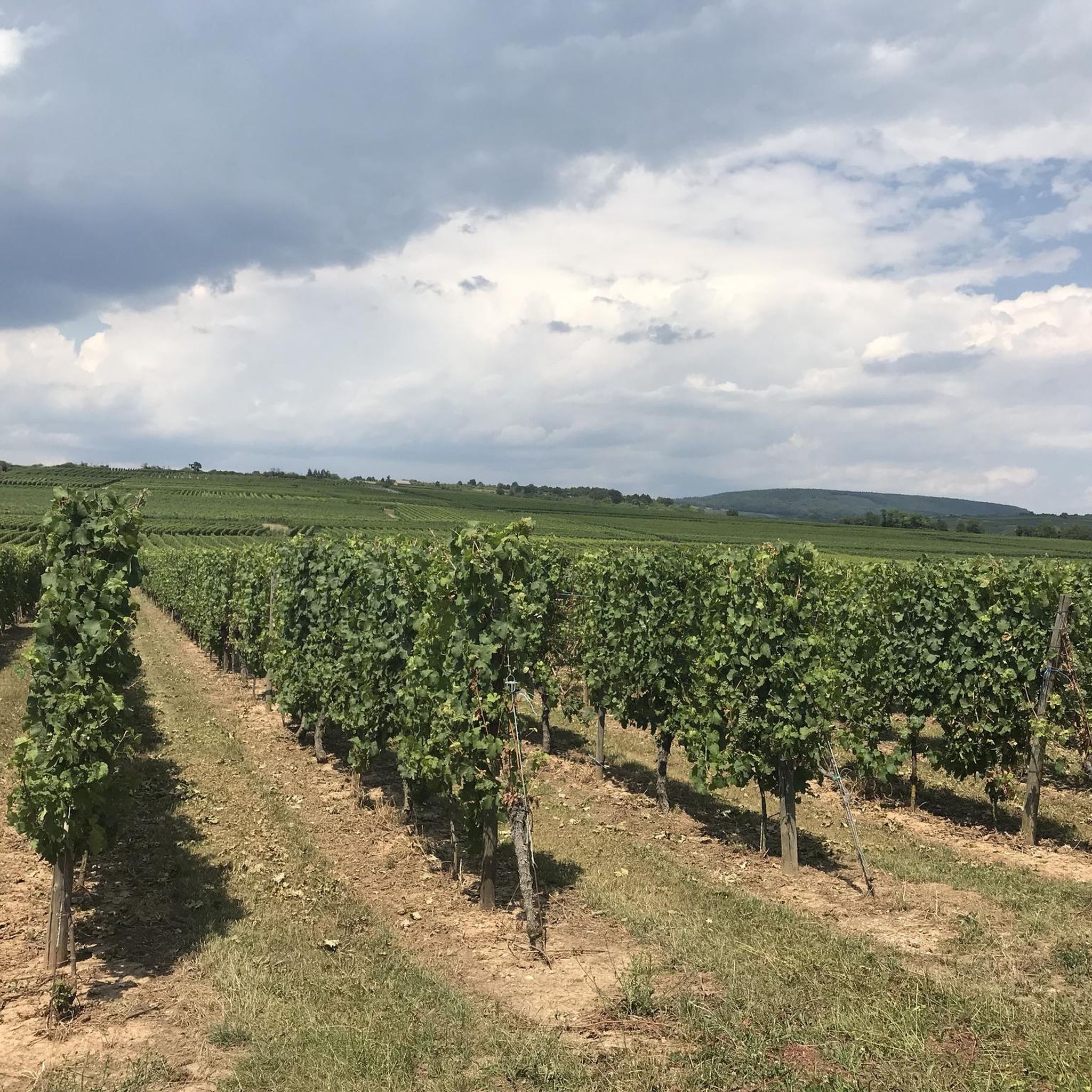
Visitors frequently praise the quiet and idyllic nature of the routes, especially those leading through shady forests, which are particularly appreciated in summer. The pleasant and even slopes on initial sections of climbs, like the Ascent from Soultz to Col du Grand Ballon, are often highlighted. The area's diverse landscape, featuring forests, vineyards, and riverbanks, is also a major draw for nature lovers and hikers.
Are there any permits or special rules for hiking or cycling on the mountain passes?
Generally, no special permits are required for hiking or cycling on public trails and mountain passes in the Merxheim region. However, it's always important to respect local regulations, especially concerning nature protection areas. Stick to marked paths, avoid littering, and be mindful of private property. For specific rules, especially in protected zones, look for signage at trailheads.
Most popular routes around Merxheim
Most popular attractions around Merxheim

Get inspired with the komoot mobile app


Explore more
See even more epic mountain passes by checking out these guides around Merxheim:
