The best mountain hikes around Bertizarana
5.0
(2)
9
hikers
3
hikes
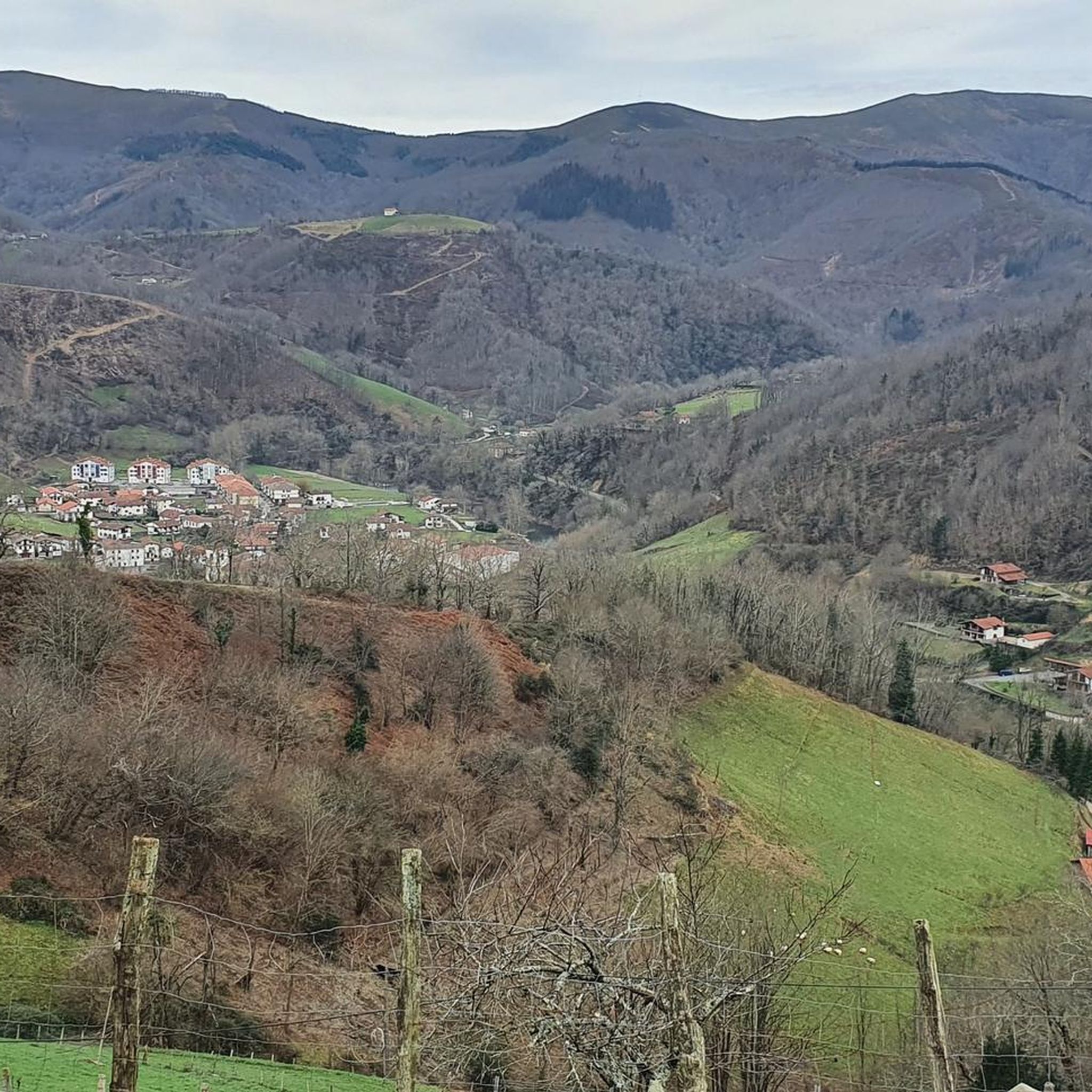
Mountaineering around Bertizarana features a landscape characterized by significant elevation changes and rugged mountainous terrain. The region offers challenging ascents and descents, typical of demanding mountaineering routes. These paths often traverse varied landscapes, providing a robust experience for those seeking high-altitude endeavors.
Best mountaineering routes around Bertizarana
- The most popular mountaineering route is Aldegi – Saioa loop from Belateko mendatea, a 8.5 miles (13.8 km) trail that takes 5 hours 30 minutes to complete. This difficult route features substantial…
Last updated: July 5, 2026
4
hikers
16.3km
06:13
960m
960m
Hard mountaineering route. Very good fitness required. Mostly accessible paths. Sure-footedness required.
5.0
(1)
2
hikers
14.5km
05:07
760m
760m
Hard mountaineering route. Very good fitness required. Mostly accessible paths. Sure-footedness required.

Sign up for free
5.0
(1)
2
hikers
9.32km
04:01
640m
640m
Moderate mountaineering route. Good fitness required. Mostly accessible paths. Sure-footedness required.
1
hikers
12.0km
03:50
480m
470m
Moderate mountaineering route. Good fitness required. Easily-accessible paths. Suitable for all skill levels.
Our route recommendations are based on thousands of hikes, rides, and runs completed by other people on komoot.
Start today with a free account
Your next adventure awaits.
Login or Signup
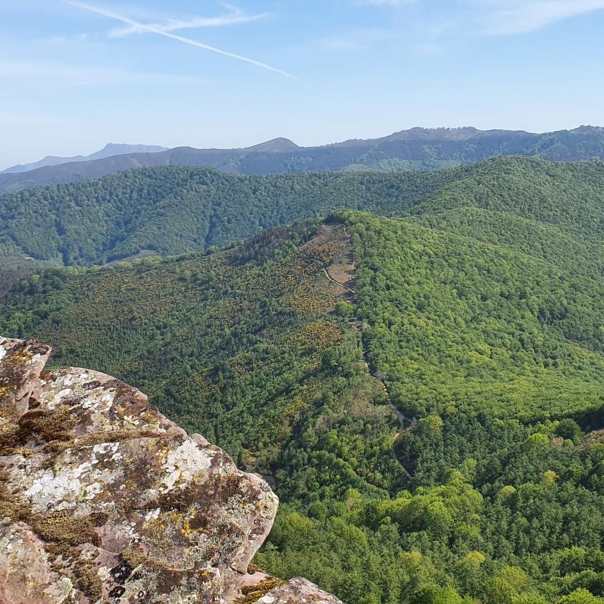
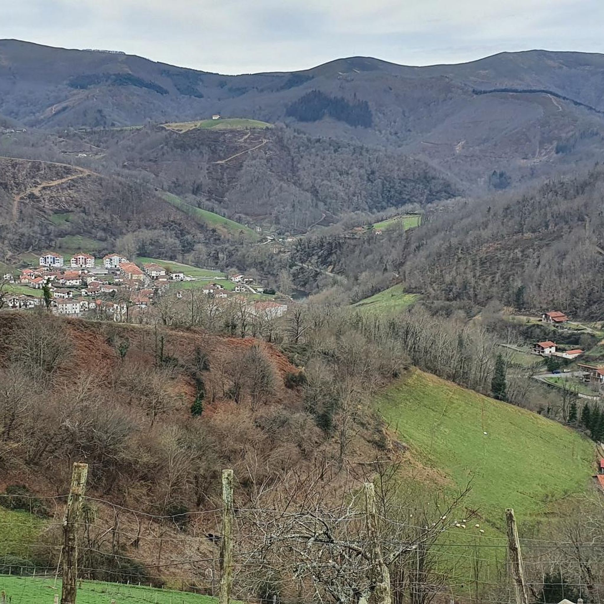
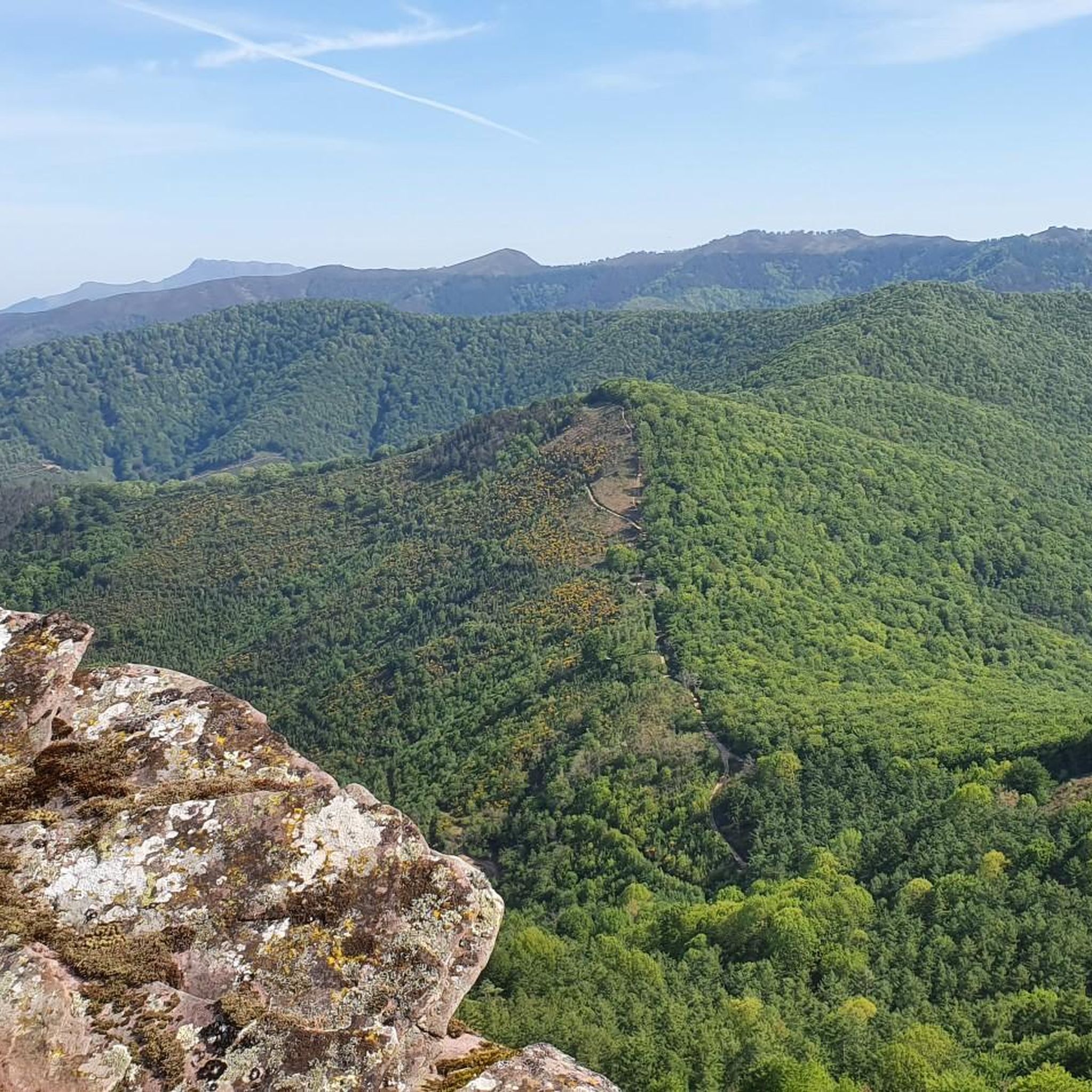
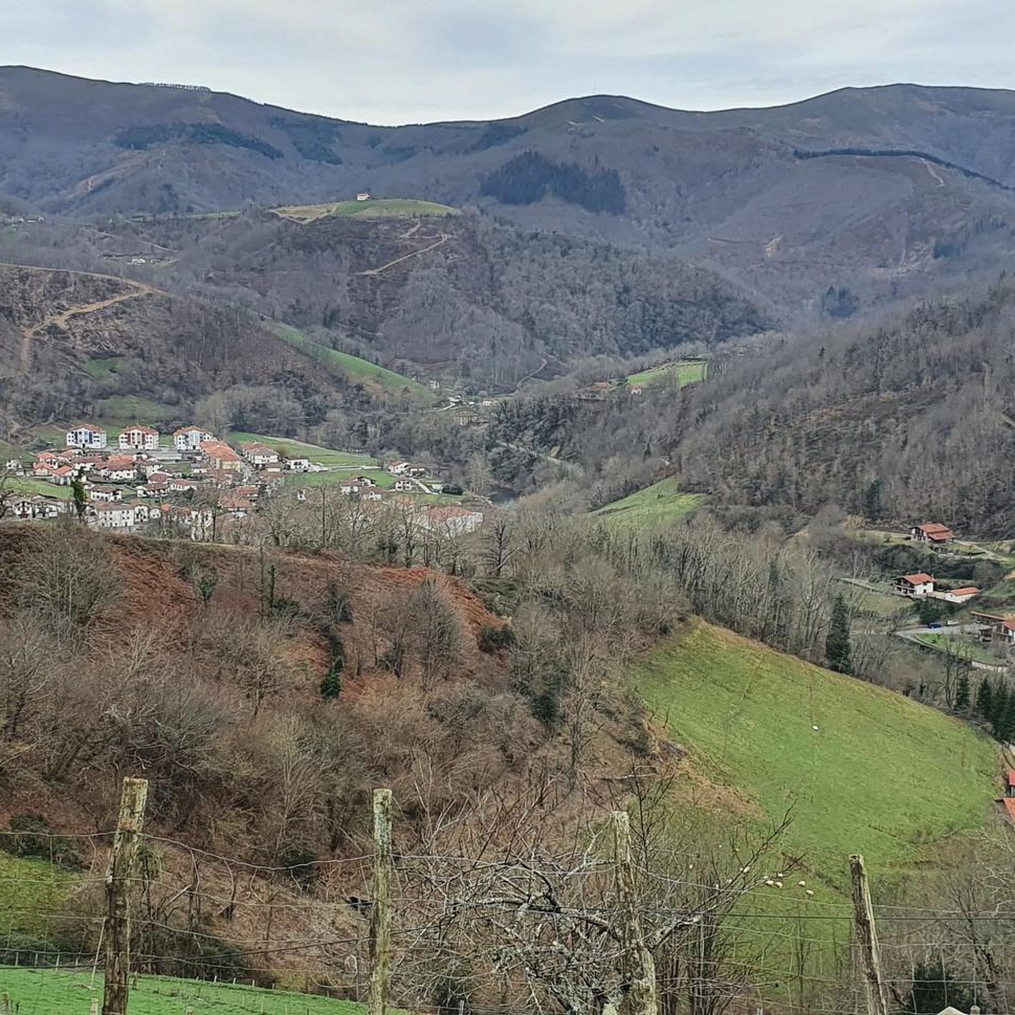
Tips from the Community


The Lizarrieta pass is 411 meters above sea level on the Franco-Spanish border between the villages of Sare and Etxalar. From the village of Sare the climb is about 11 kilometers long for an average of 3.3% with a maximum passage of 6.3%.
0
0


Venta located on the muga (border), with a restaurant and shop, almost always with a lot of people.
6
0
One of the emblematic mountains of the area. And it does not surprise me, a joy of views and the additional reward of this small hermitage on the point.
8
0
Frequently Asked Questions
What are the typical difficulties and durations for mountaineering routes in Bertizarana?
Mountaineering routes in Bertizarana generally range from moderate to difficult. For instance, a challenging route like Aldegi – Saioa loop from Belateko mendatea covers about 8.5 miles (13.8 km) and takes around 5 hours 30 minutes. A moderate option, such as Atzurdi Punta – Mendaur loop from Elgorriaga, is about 5.9 miles (9.5 km) and can be completed in approximately 4 hours 7 minutes.
Are there any easy mountaineering routes suitable for beginners in Bertizarana?
While Bertizarana is known for its challenging terrain, there are a couple of moderate routes that might be more suitable for beginners looking for a less strenuous experience. For example, the Lizarrietako lepoa – Col de Lizarrieta loop from Aire de Goaneako Borda is a moderate 7.5-mile (12.0 km) route, typically taking around 3 hours 50 minutes. It still involves elevation gain but is less demanding than the difficult options.
What are some challenging mountaineering routes for experienced climbers in Bertizarana?
For experienced mountaineers seeking a challenge, Bertizarana offers several demanding routes. The Mendieder – Mairubaratzeta loop from Arantza is a difficult 10.1-mile (16.3 km) path with significant climbing, offering expansive views. Another rigorous option is the Izu Summit – Arantza loop from Arantza, a 9.3-mile (15.0 km) trail through mountainous landscapes.
What is the best season for mountaineering in Bertizarana?
The best seasons for mountaineering in Bertizarana are typically spring, summer, and autumn. During these months, the weather is generally more stable, and trails are clear of snow, making for safer and more enjoyable ascents. Autumn, in particular, offers beautiful foliage and cooler temperatures.
What essential gear should I bring for mountaineering in Bertizarana, especially in autumn?
For mountaineering in Bertizarana, especially in autumn, it's crucial to be prepared for varied conditions. Essential gear includes sturdy hiking boots with good ankle support, layered clothing (including waterproof and windproof outer layers), a backpack with sufficient water and snacks, a map and compass or GPS device, a first-aid kit, and a headlamp. Trekking poles can also be very helpful on steep ascents and descents.
Are there circular mountaineering routes available in Bertizarana?
Yes, many of the mountaineering routes in Bertizarana are designed as loops, allowing you to start and end at the same point. Examples include the popular Aldegi – Saioa loop from Belateko mendatea, the Mendieder – Mairubaratzeta loop from Arantza, and the Izu Summit – Arantza loop from Arantza.
What interesting sights or landmarks can I explore near the mountaineering routes?
Near the mountaineering routes in Bertizarana, you can discover several interesting points. You might encounter historic religious buildings like the Santiago Hermitage. The region is also dotted with various mountain passes, such as Artesiaga Pass or Col de Lizarrieta, which offer panoramic views and are often part of the routes.
Are there cafes or pubs near the mountaineering routes in Bertizarana?
While the routes themselves traverse rugged mountain terrain, you can find places to refuel in nearby villages or at specific points. For example, Labaiengo Ostatua is a restaurant that might be accessible from some routes, and there are also huts like Lizarrietako lepoa that could offer refreshments or shelter.
What do other mountaineers appreciate about the routes in Bertizarana?
The mountaineering routes in Bertizarana are highly rated by the komoot community, with an average score of 5.0 stars. Reviewers often praise the challenging ascents, the significant elevation changes, and the varied mountainous terrain that provides a robust experience for those seeking high-altitude endeavors.
How many mountaineering routes are available in Bertizarana?
There are at least 4 distinct mountaineering routes documented in Bertizarana, offering a range of experiences from moderate to difficult. These routes provide ample opportunities to explore the region's rugged landscapes.
Are permits required for mountaineering in Bertizarana?
Generally, permits are not required for general mountaineering on established trails in Bertizarana. However, it's always advisable to check local regulations or park authority guidelines before your trip, especially if you plan to venture off-trail or engage in specific activities.
What are the winter mountaineering conditions like in Bertizarana?
Winter mountaineering in Bertizarana can be challenging due to snow, ice, and colder temperatures, especially at higher elevations. Conditions can change rapidly, requiring specialized gear such as crampons, ice axes, and avalanche safety equipment. It is recommended for experienced mountaineers only, and checking current weather and snowpack reports is essential.
Most popular routes around Bertizarana
Most popular attractions around Bertizarana

Get inspired with the komoot mobile app


Explore more
Browse the best Mountain Hikes & Routes in other regions.
