The best mountain hikes around Güeñes
4.0
(1)
25
hikers
4
hikes
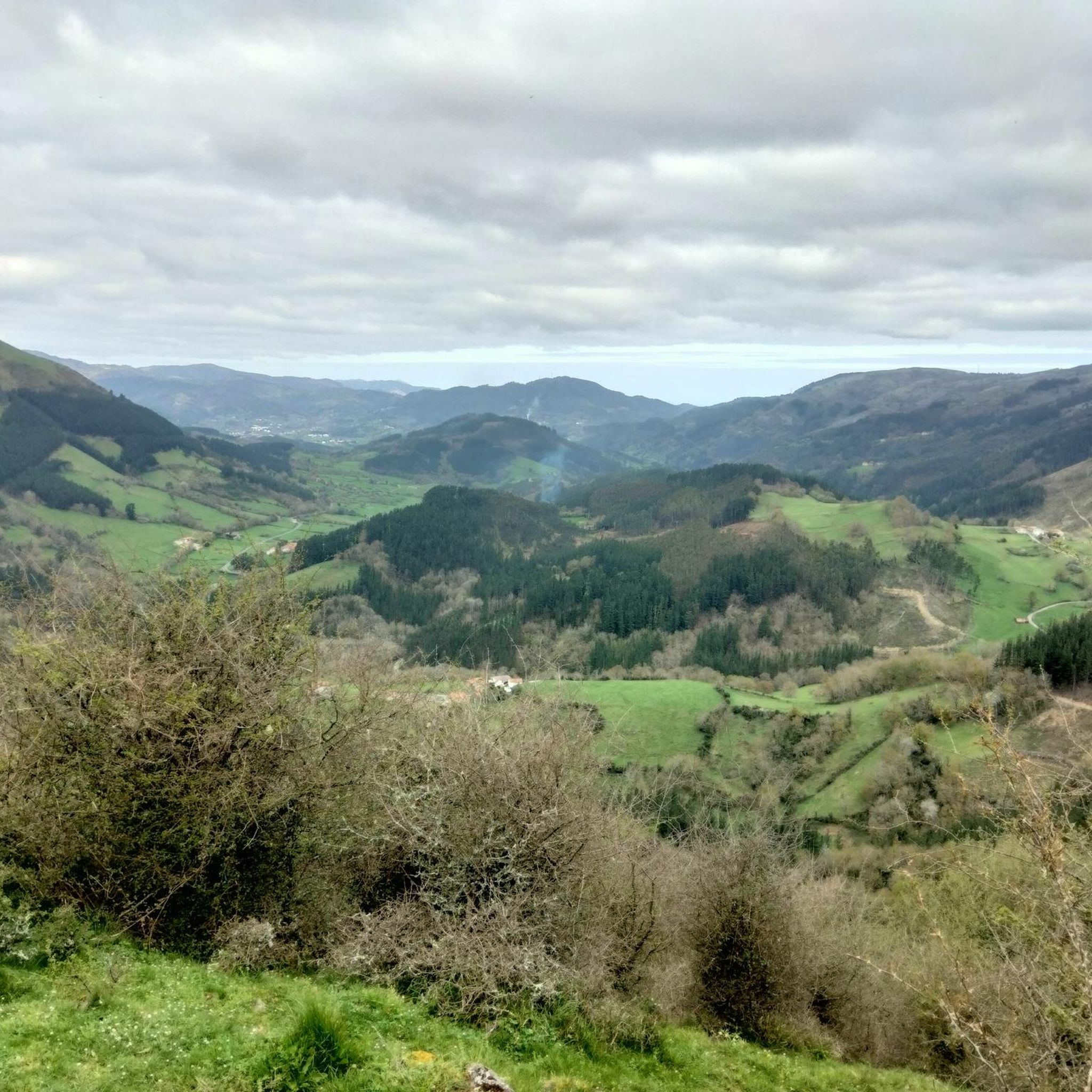
Mountaineering around Güeñes offers diverse landscapes within the narrow valley shaped by the Cadagua River, characterized by its irregular and mountainous terrain. The region features notable peaks such as Ubieta (1,115 meters), Ganekogorta (998 meters), and Eretza (880 meters), providing a dramatic backdrop for outdoor pursuits. These mountains present varied challenges and scenic viewpoints for mountaineers. The area's geological makeup supports a network of routes suitable for exploration.
Best mountaineering routes around Güeñes
- The most popular mountaineering route is Ganekondo…
Last updated: July 5, 2026
4.0
(1)
11
hikers
Hard mountaineering route. Very good fitness required. Mostly accessible paths. Sure-footedness required.
7
hikers
13.3km
04:33
700m
700m
Moderate mountaineering route. Good fitness required. Easily-accessible paths. Suitable for all skill levels.

Sign up for free
5
hikers
16.1km
05:17
710m
710m
Hard mountaineering route. Very good fitness required. Easily-accessible paths. Suitable for all skill levels.
2
hikers
Moderate mountaineering route. Good fitness required. Mostly accessible paths. Sure-footedness required.
Our route recommendations are based on thousands of hikes, rides, and runs completed by other people on komoot.
Start today with a free account
Your next adventure awaits.
Login or Signup

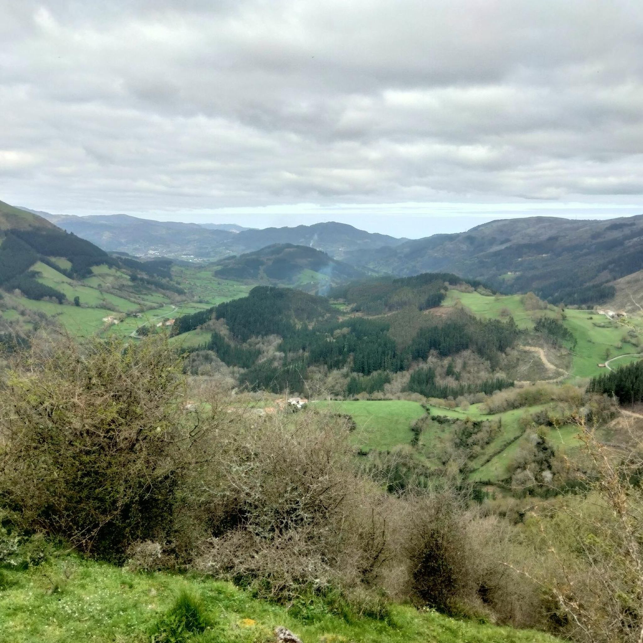
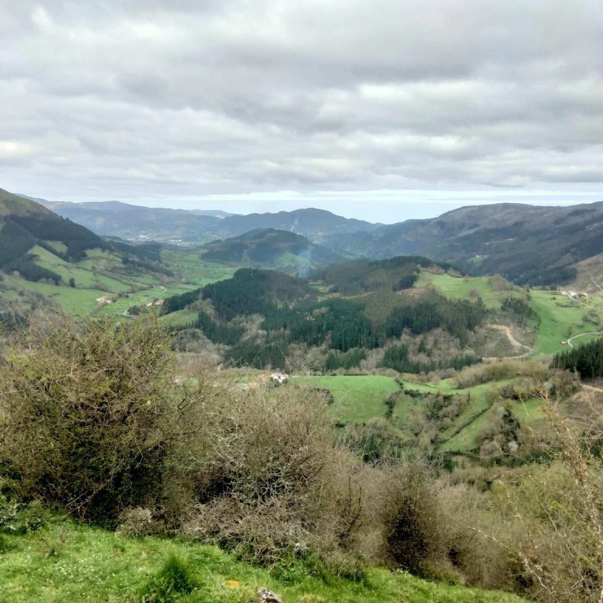
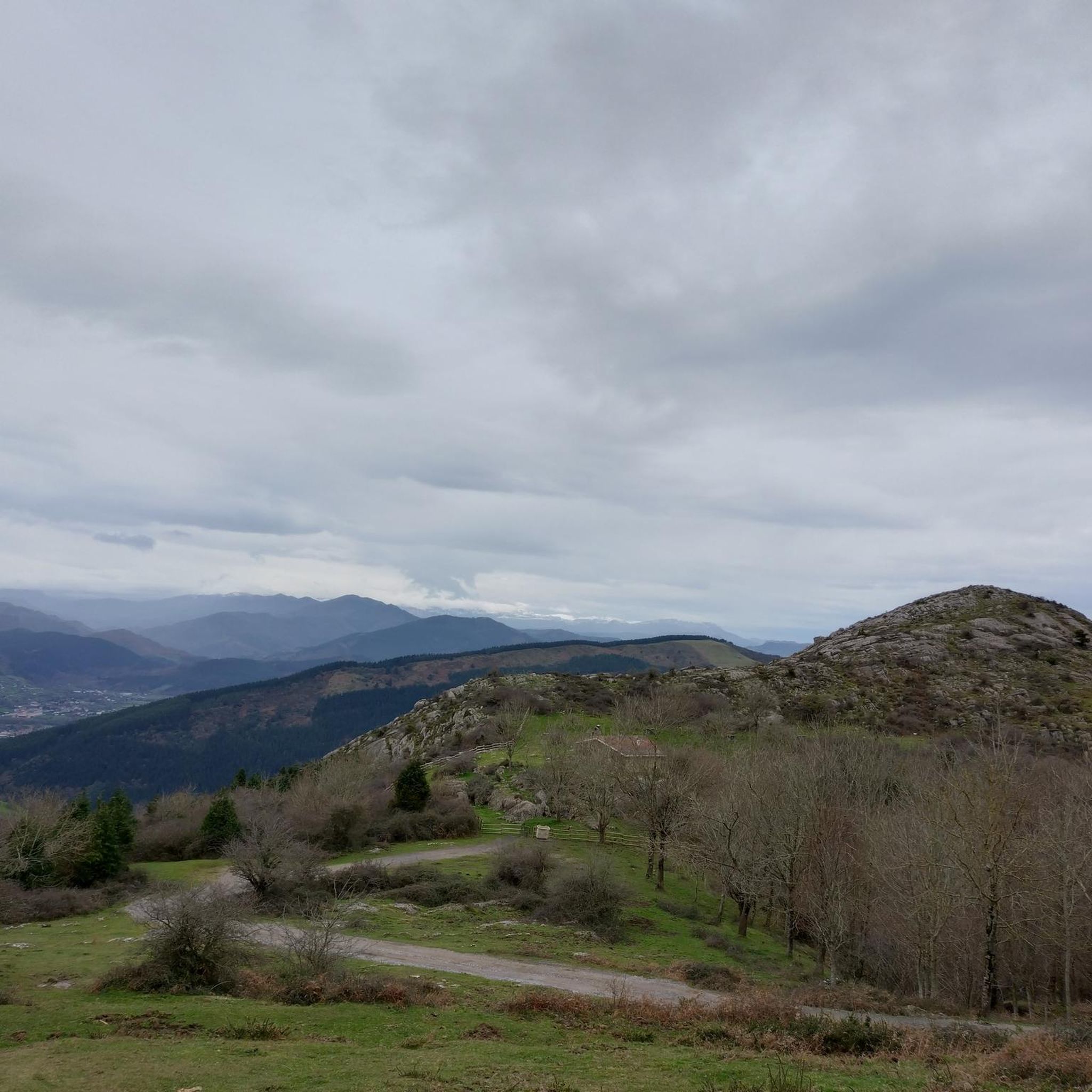
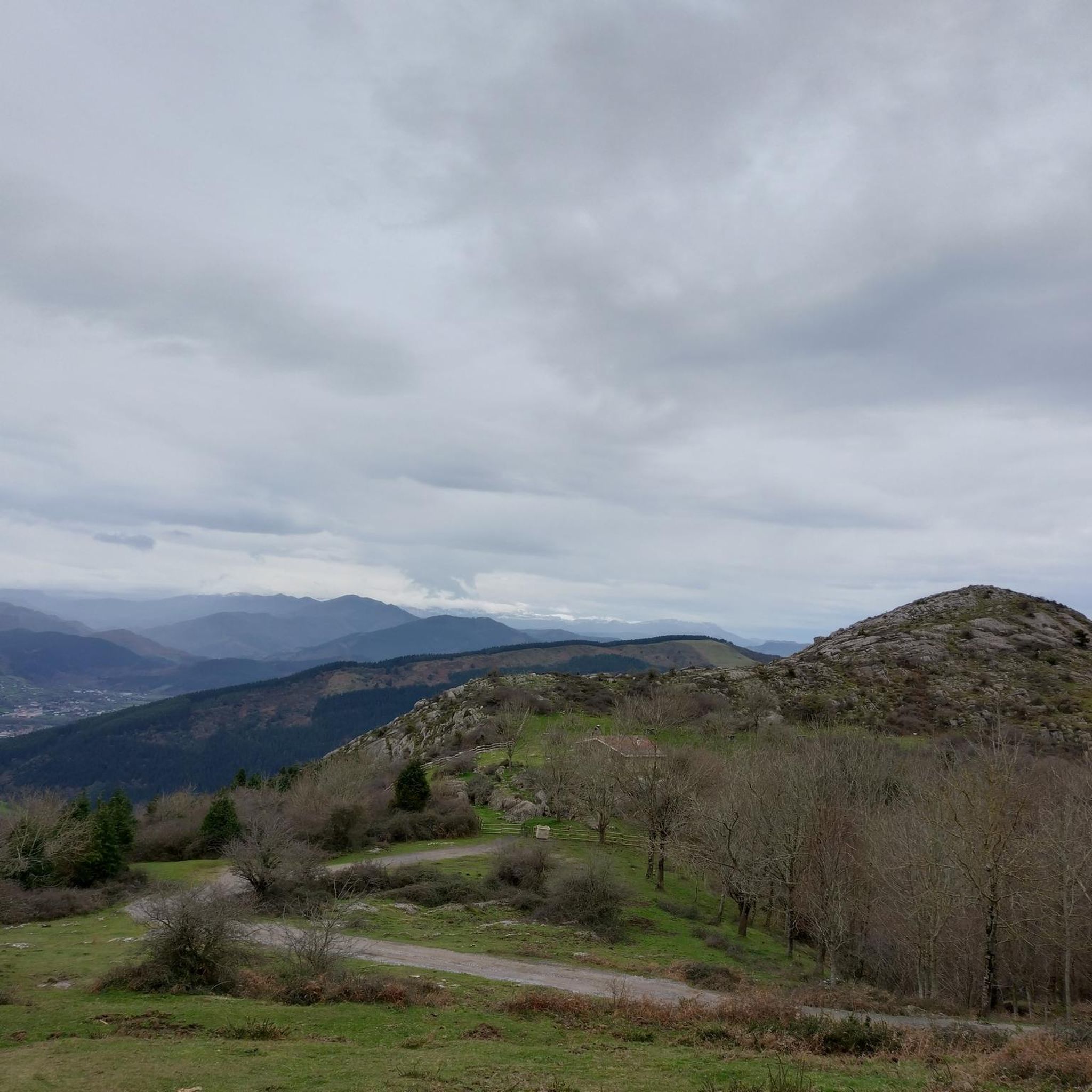
Other adventures around Güeñes

Tips from the Community

Of all the surrounding peaks, this is the most comfortable.
1
0

Telecommunications antennas next to the mailbox. This peak is included in the catalogue of Centenary Peaks of Euskal Herria. However, its fame goes to its neighbour Pagasarri.
0
0
Recognized as a top choice for fans in Bilbao and its surroundings.
0
0
Summit listed in the Catalogue of Centenaries
0
0

Beautiful place to take a break and nice with all those steep hills
12
0

Very easy and quite enjoyful hike with great view of Bilbao city at several point that reaches the top at a great spot to have a snack. Beautiful return through a different path across a pine tree forest and small trek to Gangoiti and Atxarte peaks.
0
0
Frequently Asked Questions
How many mountaineering routes are available around Güeñes?
There are 5 distinct mountaineering routes around Güeñes listed on komoot, offering a mix of moderate and difficult challenges. These routes explore the region's irregular and mountainous terrain, including prominent peaks like Ganekogorta and Eretza.
Are there any moderate mountaineering routes suitable for those looking for a less strenuous climb?
Yes, Güeñes offers a couple of moderate mountaineering routes. You might enjoy the Kolitza Parking – Kolitza loop from Balmaseda, which is about 12.6 km long and typically takes around 4 hours 21 minutes. Another good option is the Kamaraka – Mugarriluze loop from Ermuko Andre Mariaren santutegia, a shorter 7.3 km route.
What are some of the more challenging mountaineering routes in the Güeñes area?
For experienced mountaineers seeking a challenge, the region offers several difficult routes. The Ganekondo / Gastarriaga – Ganekogorta loop from Bilbao Arena is a demanding 16.3 km trail ascending towards the prominent Ganekogorta peak. Another difficult option is the Ganeran Summit – Gasteran Peak loop from Larreinetako funikularraren geltokia, which covers 17.4 km of mountainous terrain with significant elevation gain. Additionally, the Pagasarri Picnic Area – Mount Pagasarri loop from Ametzola presents a challenging 16.1 km ascent.
Are there any circular mountaineering routes around Güeñes?
Yes, all the mountaineering routes listed for Güeñes are circular, allowing you to start and end at the same point. This includes popular options like the Ganekondo / Gastarriaga – Ganekogorta loop from Bilbao Arena and the Kolitza Parking – Kolitza loop from Balmaseda.
What kind of natural attractions or viewpoints can I expect to see on these routes?
The mountaineering routes around Güeñes offer stunning natural beauty and panoramic viewpoints. You can expect to encounter significant summits such as Ganekogorta Summit and Eretza Summit. The region's irregular and mountainous terrain, shaped by the Cadagua River, provides dramatic backdrops throughout your journey.
Are there any historical or cultural landmarks near the mountaineering trails in Güeñes?
While the focus of these routes is natural landscapes, the broader region around Güeñes, particularly towards Bilbao, offers notable cultural landmarks. These include the iconic Guggenheim Museum, the striking Zubizuri Bridge, and the historic Plaza Nueva (Bilbao). You might also spot the famous Vizcaya Bridge, a UNESCO World Heritage site.
What do other mountaineers say about the routes in Güeñes?
The mountaineering routes in Güeñes are highly regarded by the komoot community, holding an average rating of 4.0 stars from over 3 reviews. More than 30 mountaineers have used komoot to explore the varied terrain, often praising the challenging ascents and the expansive views from the peaks.
Is Güeñes suitable for mountaineering with families or children?
The mountaineering routes listed for Güeñes are generally rated as moderate to difficult, involving significant elevation gain and distance. While adventurous families might enjoy some sections, these routes are primarily designed for experienced hikers. For family-friendly outdoor activities, it might be better to explore other types of trails or shorter walks in the region, such as those found in Arenaza Park.
What is the best time of year for mountaineering in Güeñes?
The best time for mountaineering in Güeñes is typically during the spring and autumn months when the weather is milder and more stable. Summer can be pleasant, but it's essential to be prepared for warmer temperatures. Winter mountaineering is possible but requires appropriate gear and caution, especially on higher peaks like Eretza, where visibility can be an issue during foggy or rainy conditions.
Are there any specific weather considerations for mountaineering in Güeñes?
Yes, the mountainous terrain around Güeñes can experience rapidly changing weather. It's crucial to check local forecasts before heading out. The ascent to Eretza, for example, is specifically not recommended for descent during foggy or rainy conditions due to visibility concerns. Always be prepared for varying conditions, including potential rain and wind, even on clear days.
Are dogs allowed on the mountaineering routes in Güeñes?
Generally, dogs are welcome on many trails in the Basque Country, but it's always best to check specific local regulations or signage at trailheads. When hiking with your dog, ensure they are well-behaved, kept on a leash where required, and that you carry out all waste. Be mindful of livestock and other wildlife you might encounter on the trails.
Is parking available near the trailheads for mountaineering routes in Güeñes?
Many mountaineering routes in the region, including those around Güeñes, often have designated parking areas near their starting points. For example, the Kolitza Parking – Kolitza loop from Balmaseda explicitly mentions parking in its name. It's advisable to research specific trailhead access points for parking availability before your trip.
Can I access the mountaineering routes around Güeñes using public transport?
While some routes might be accessible via public transport, especially those starting closer to larger towns like Bilbao or Sodupe, direct access to all trailheads can be limited. For instance, the ascent to Eretza often starts from Sodupe, which may have public transport links. It's recommended to check local bus or train schedules to see if they align with your chosen starting point.
Most popular attractions around Güeñes

Get inspired with the komoot mobile app


